photography

28 Phone Backgrounds by William Bryan

The tradition continues! For my 28th birthday I’m sharing 28 photos that I took over the last year for you to choose from for your phone background!

Browse the photos below and feel free to download one for your smartphone background by tapping on it and downloading the image from the new window that opens.

27 Phone Backgrounds by William Bryan

I’m getting to the end of my mid-twenties, which might be daunting for me but it’s good news for all of you! Turning 27 means there are 27 photos that I took over the last year for you to choose from for your phone background!

Browse the photos below and feel free to download one for your smartphone background by tapping on it and downloading the image from the new window that opens.

26 Phone Backgrounds by William Bryan

The phone background tradition is a whopping 5 years old—and I turn 26—which means 26 new photos from the past 12 months for you to choose from.

Browse the photos below and feel free to download one for your smartphone background by tapping on it and downloading the image from the new window that opens.

Bike Tour Kiefersfelden, Germany to Zürich, Switzerland 2021 by William Bryan

Susie and I pushed off on our bikes bright and early from Kiefersfelden, around 9 a.m. Within three minutes we were over the border in Austria—her house is practically on the border, it’s not that we were biking really fast. It was sunny, our legs felt fresh, and the bags on our bikes didn’t feel all that heavy, yet. It was just the start of our four day bike touring adventure, after all. The plan was to wind our way south from Kiefersfelden in southern Germany over the border into Austria before turning west to cross Liechtenstein (which doesn't take long, even by bike). Once in Switzerland, we planned to wind our way through the lake country to Zürich where we’d catch a train home. About 400 kilometers in all. We didn’t have any time to spare so we didn’t build in rest days or touristy activities along the way. The trip was set to be Type 2.0 fun all the way and we were stoked.

Day 1

After crossing the border to Austria, Susie and I made good time to Innsbruck, where we stopped for a grocery store smorgasbord of ham, cheese, and bread. With 85 km behind us and another 65 km to go we hopped back on the bike in good spirits. Our elevation slowly started to increase as we made our way to Imst.

We climbed over a mountain pass with cars and trucks whizzing by us. Luckily this was one of the only parts of the ride with no bike lane. After descending into Imst I thought we were done, we were so close to our destination. But in the last 5 km we climbed straight up, sometimes at a 15% grade. We gained 400 meters (with many breaks in between) to our hotel in the mountains. I was huffing and puffing. It was already my longest ride ever, and now it included the most elevation I’d ever climbed as well, 1,296 meters. The effort seemed more worth it when the server at the hotel restaurant treated us with complimentary schnapps (which everyone got, it had nothing to do with us biking up the hill to the hotel).

I took a hot bath to ease my tired muscles but no position seemed comfortable for my legs so I gave up and dried off. We both climbed into bed and promptly passed out.

Day 2

Day 2 was set to be significantly easier than the first. A rest day, if you will. 68 kilometers from our hotel above Imst to a small hut in the mountain town of Stuben. We started off by descending the hill we’d worked so hard to climb the day before. Today, though, it was wet with morning dew and a sketchy route to ride. We didn’t spare a moment's thought for the alpine landscape spread out in front of us; or the charming town of Imst that we sped through on our way to the river at the bottom of the valley.

As we followed the river’s path up into the mountains we stopped and snacked on all manner of fruits from the local orchards. A local Oma (grandma) told me that as long as the branch hangs over the fence onto the road it’s fair game, so we enjoyed the apples, plums, and pluots guilt-free.

With the daring descent completed we breathed a sigh of relief, but Susie wouldn’t let me off too easily, even on a rest day. The route included a climb over the St. Anton am Arlberg pass, aka another 1,279 meters of climbing for the day. Our reward for the climb was another picturesque, speedy, and very chilly descent down to our hut in Stuben.

After a hot shower and thirty minutes curled up in our puffy jackets under the bed sheets we ventured out to one of only a handful of restaurants open in town that night. We stuffed ourselves to the brim and then rolled out and back into bed.

Day 3

The next morning we woke up early. We had a daunting 116 km to travel on our third day of riding, but luckily it was mostly downhill. Unfortunately, the weather was against us. We started by bundling up for a quick sprint down the hill to the nearest town with a bakery where we ate premade sandwiches and drank hot coffee and tea. As we sat there the rain started and we looked out the window nervously. Beginning a 116 km ride with rain was a recipe for wet feet the whole day. We put on every layer of clothing we had and made our way into the cold, wet mountain air. It was only a light dusting for now, so it wasn’t horrible. Before long, though, it became a downpour.

We wound our way down wet gravel paths with water soaking us from above and below. The downhill path was a blessing and a curse. We hardly had to pedal to keep up a good clip, but no peddling meant we weren’t warming ourselves up from the inside. My whole body was wracked with shivers so violent that I was worried I’d wrench the handlebars left or right and end up in the bushes. We got soaked through. And we laughed about it, mostly. Susie very smartly suggested stopping in the next town for another hot drink but I was worried that if we stopped we wouldn’t have the fortitude to get back on the bikes. So we pressed on.

Before we knew it we had pedaled the first 50 km to Feldkirch and we decided it was high time to make a stop for warmth and sustenance. The rain picked up again while we sat inside, still soaking wet from the morning’s wind-chilled descent. We waited for the rain to subside a bit and then ventured back out.

Not long after, Susie—thinking out loud—asked if we might already be in Liechtenstein. I hadn’t even thought about it, because Susie was in charge of mapping. While riding through a residential neighborhood we looked around and saw signs telling us we were in fact already in Liechtenstein: “FL” license plates, LIEmobil bus stop signs, and slightly different infrastructure accents (aka the cobble stones and curbs looked different).

WB6_2905.jpg

We laughed that we’d almost missed it and talked about how small of a country it is for five minutes and before we knew it we were leaving already. We passed over the Rhine river on a wooden pedestrian bridge and stopped halfway to take pictures at the “border” before continuing on into Switzerland.

We were just over halfway to our destination and feeling strong when the rain and wind picked up again. It didn’t dampen our spirits but it definitely slowed us down. We wound our way around Walensee with whitecaps dotting the lake surface and the shore on the other side obscured by rain. It was definitely no picturesque Swiss getaway.

But we were making the most of it either way. The bike path which was rain-soaked but otherwise pristine snaked its way along the lake, up and down the cliffs until it spat us out in a new valley with an even heavier downpour. We’d been talkative and chatty all day but by this point we wanted to get there so little was said between us. We put our heads down and rode in the pouring rain along a gravel path that followed a canal up river towards Mollis.

WB6_3026.jpg

When we finally made it to our Airbnb we removed our shoes and socks at the door to avoid making puddles on the floor and headed straight for the bathroom to wash up. We donned the same wet jackets we’d been wearing all day and set out for food, but there were few options. The only grocery store in town closed at 4 pm that Saturday, an hour and a half before we arrived. So we walked 20 minutes in the unceasing rain across the river to the slightly bigger town next door and walked into the only open restaurant, a burger joint.

In unintelligible Swiss-German, the waitress told us that they were full and we could only order to go. We sighed and looked forlornly outside at the sky. She didn’t budge, they were fully booked until closing. We ordered anyway, hoping that we might find a nice, covered, place to eat outside once our food was ready. Twenty minutes later the rain had lessened to merely a heavy mist, so we plopped our paper bag on the rock wall across the street and devoured our burgers and fries before heading home for sleep.

Day 4

The final day of our tour started early. Our train from Zürich back home to Susie’s apartment in Kiefersfelden would leave at 12:43 with or without us. We woke up at 6 and got on the road by 6:45 in order to give ourselves plenty of time to make the 70 km trip at a leisurely pace. I even insisted on building in extra time for emergencies.

6:15 a.m. Rain passing through the light made by a streetlamp outside our bedroom window.

6:15 a.m. Rain passing through the light made by a streetlamp outside our bedroom window.

And it’s a damn good thing I did. 45 minutes after leaving Mollis, Susie fell back behind me and looked down. Something was wrong with her bike. She had a flat tire. We groaned but quickly realized it could be a lot worse. It wasn’t raining, we had all the gear we needed to fix this kind of problem, and we had built in plenty of extra time for exactly this scenario. After a quick repair we were back on the road. No problem.

The rain stayed at bay for another few hours as we made our way across the valley and towards Obersee and Zürichsee. We stopped at a BP gas station for a late breakfast and continued on, crossing the lake before riding through the never ending neighborhoods around the lake. We arrived in Zürich with plenty of time to spare. In no rush, we picked up our tickets, grabbed some food and celebratory beer, and headed to our platform.

The train ride followed our bike route almost exactly, in reverse. In four hours we wound around the lakes and mountains that had taken us four days to conquer on our bikes. But we didn’t mind that it was so easy by comparison. It gave me a chance to see all of the sights without sweat running down my face or rain dripping from my knees. And it gave us greater appreciation for what we’d just accomplished.

We rode 400 kilometers and 3,260 meters of elevation on our bikes over four days. When we made it back home I slapped the side of Susie’s building in victory and let out a sigh of relief.

Bikepacking Berlin to Grünheide, Germany 2021 by William Bryan

Screen Shot 2021-07-26 at 3.17.08 PM.png

On a whim, I asked Lena if she wanted to go bikepacking over the weekend. I proposed we ride 40 kilometers east of Berlin to a lakeside campground in Brandenburg for one night outside of the city. It would be Lena’s longest day of riding ever, but she didn’t hesitate before saying yes. In the end, the route ballooned to 50 kilometers but we were still happy and confident about the weekend’s planned adventure.

On Saturday, just after 2 p.m., we loaded our gear on our bikes and set off through the glass-covered streets of East Berlin. We made our way south through Neukölln to the canals for the scenic route to Müggelsee. Ever the food opportunist, Lena insisted we stop to munch on some boysenberries discovered along the way.

After our snack we wound our way south of Müggelsee before swinging north through Erkner and finally arriving at the campground at around 7 p.m. The woman at reception guided us past rows of mobile home bungalows surrounded by gardens ranging from disheveled to perfectly cultivated.

After leaning our bikes on a nearby pole, we stripped down and jumped in the clear water of the lake to cool off and get rid of the grime of the trail. Feeling much cooler and cleaner, we donned long sleeves and pants and sprayed bug repellant on our hands and faces before preparing dinner. The mosquitoes were already relentless a couple of hours before sunset. Our European backpacking meals were underwhelming compared to the great options in the U.S., but we still ate our fill. After dinner I settled in to read a bit before bed but it was hard to focus with all of the mosquitoes buzzing about our heads.

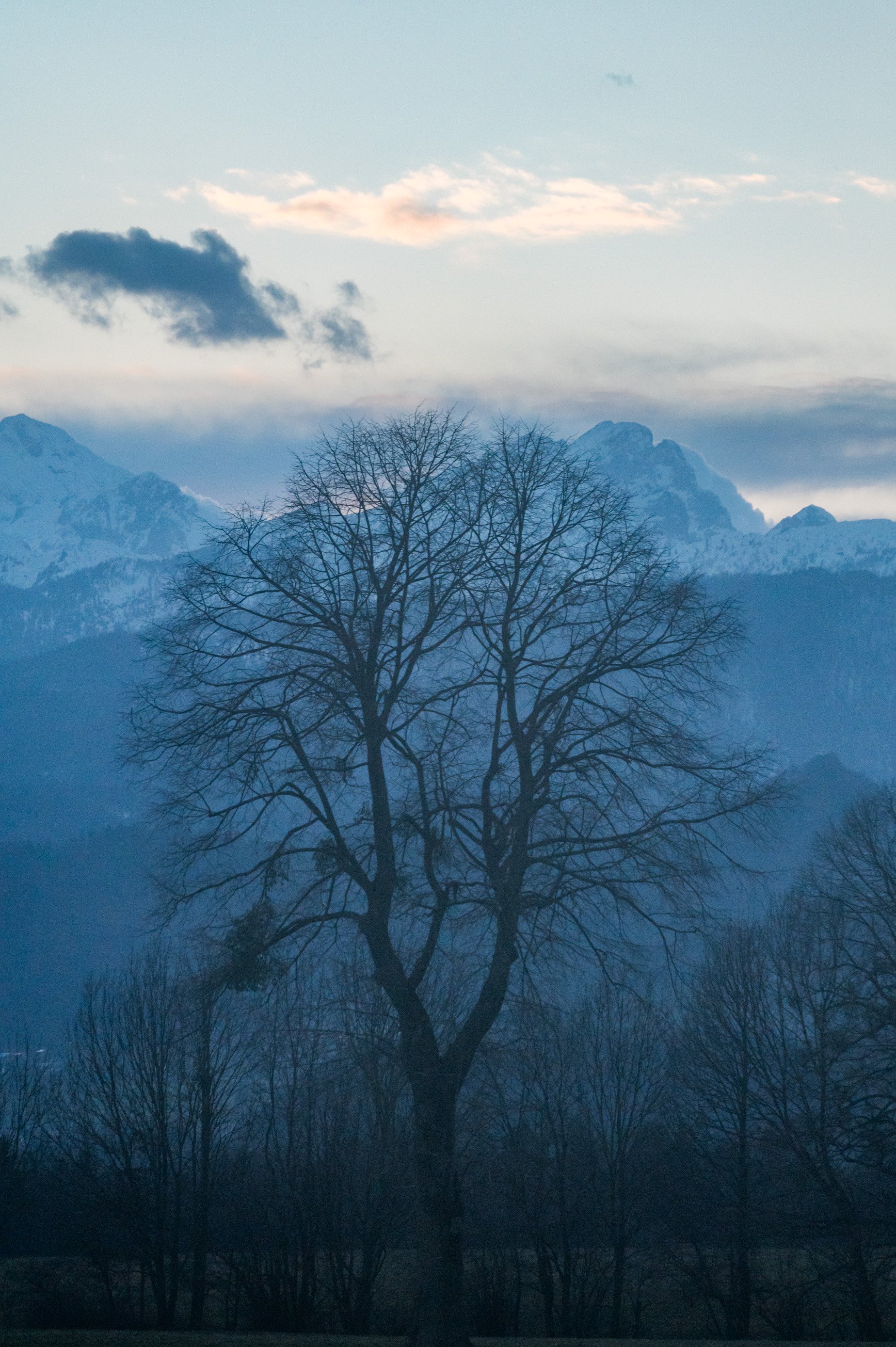
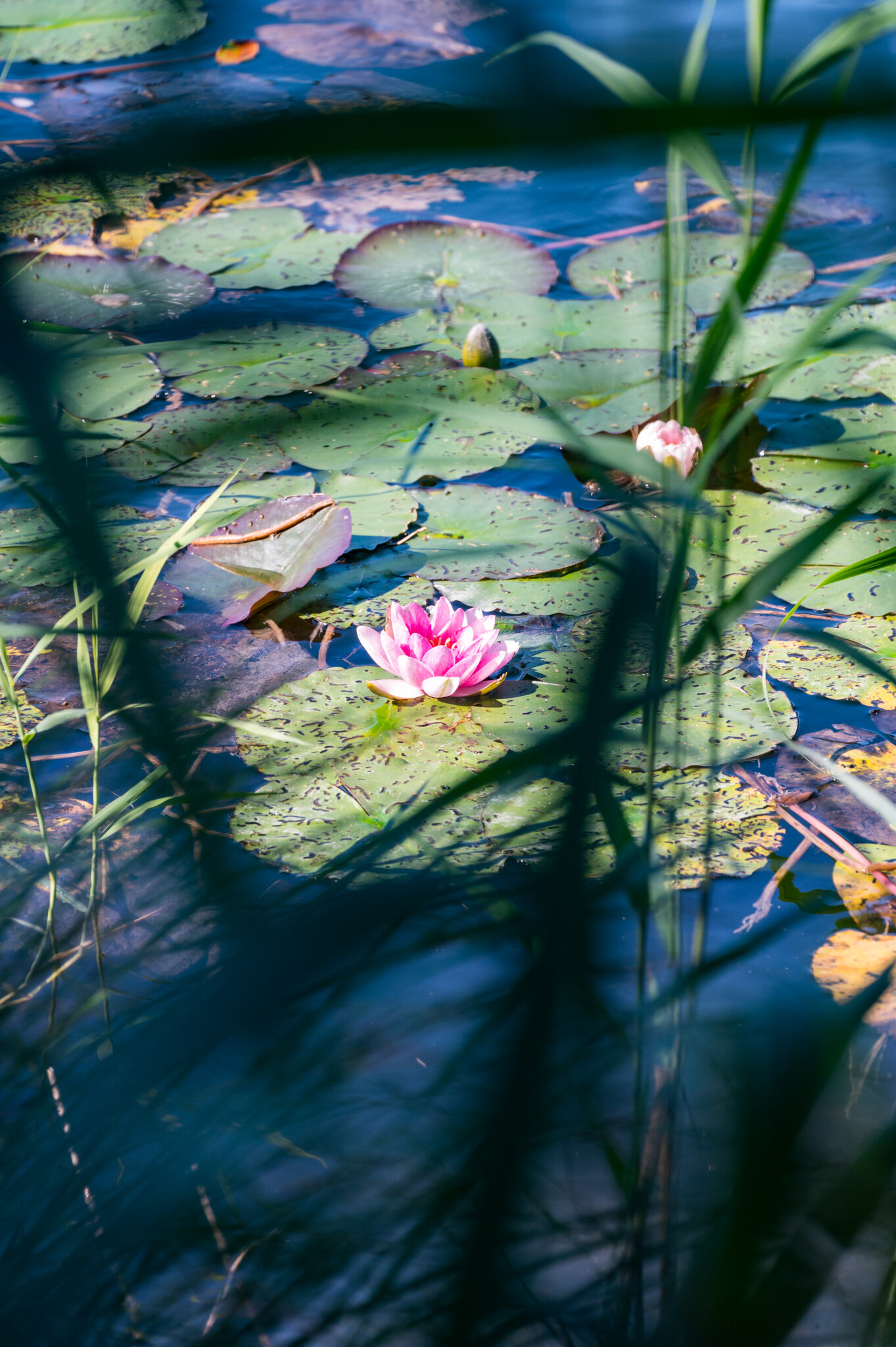
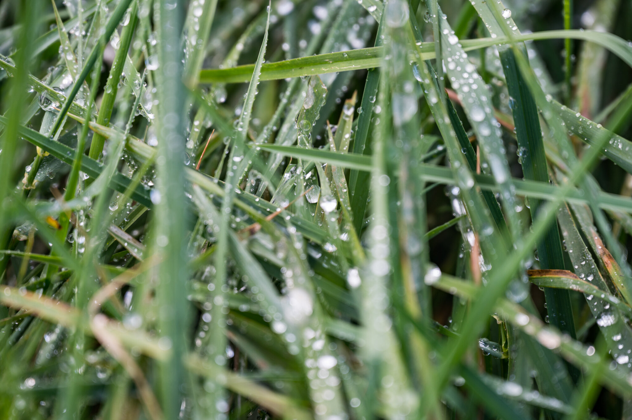
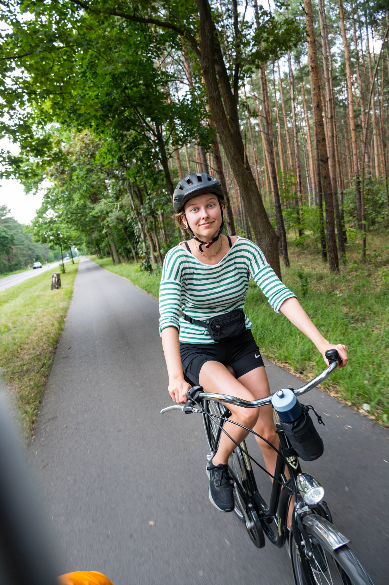
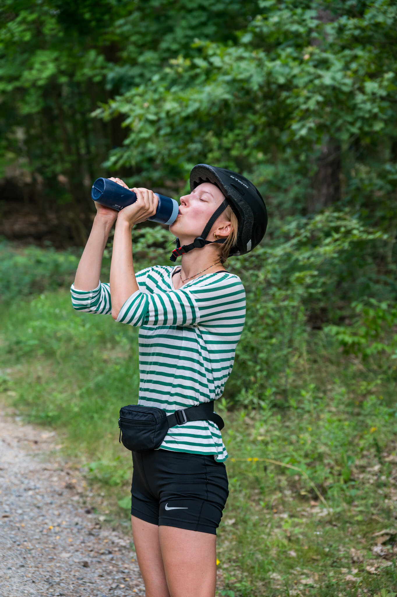
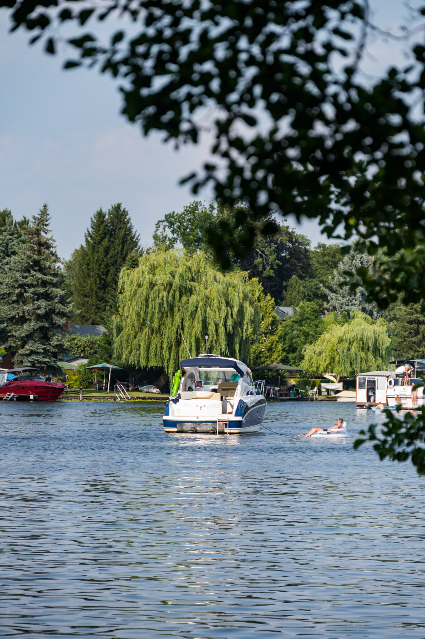
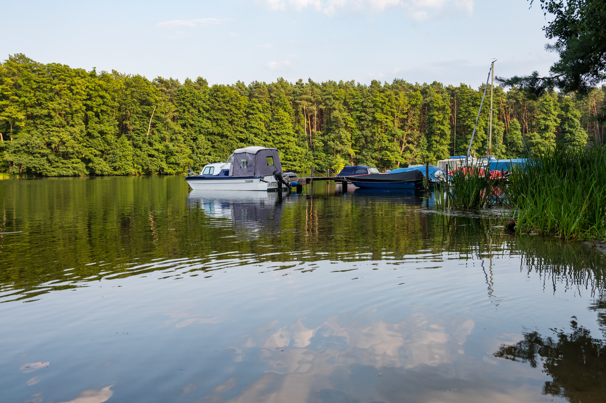
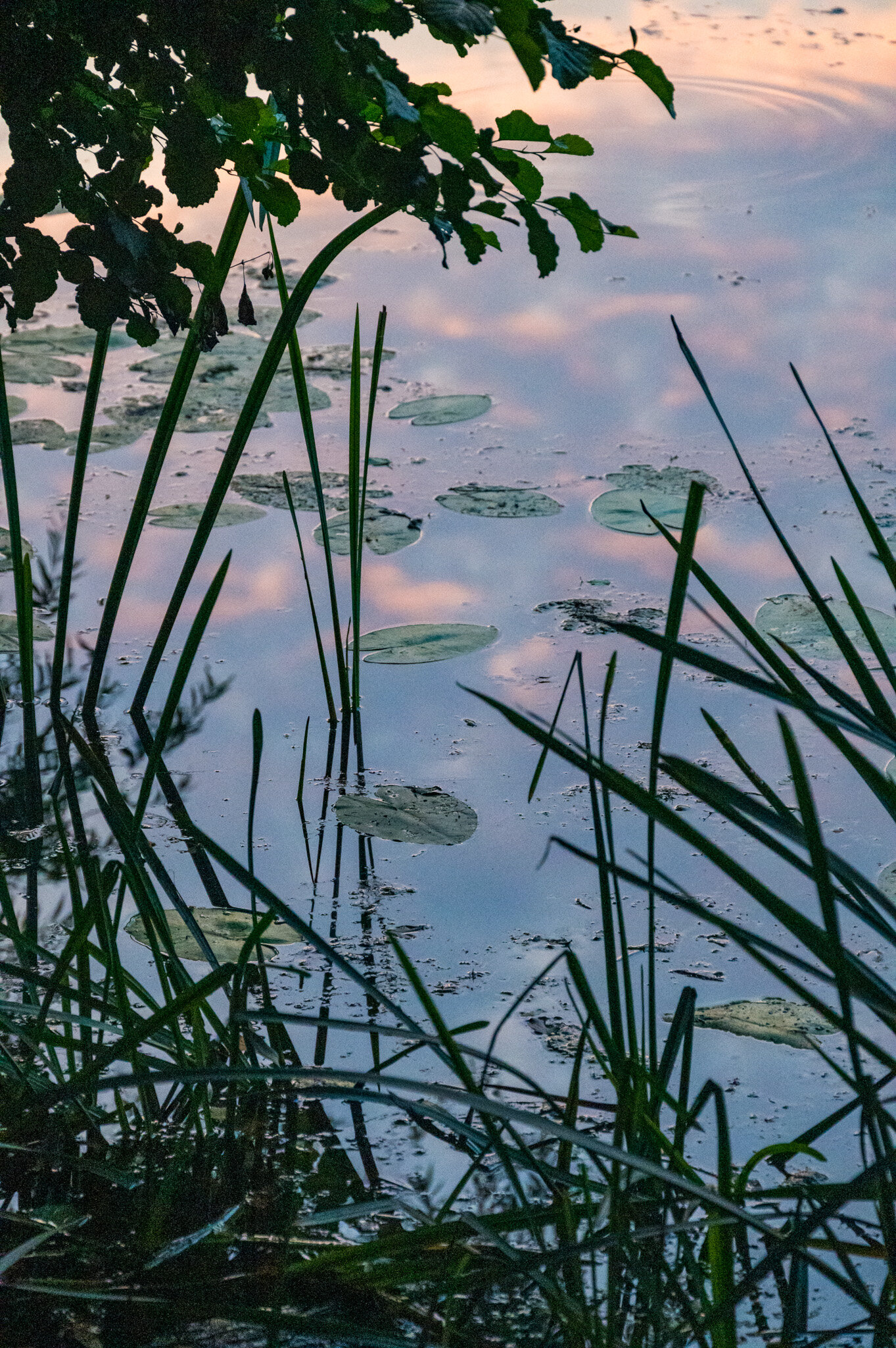
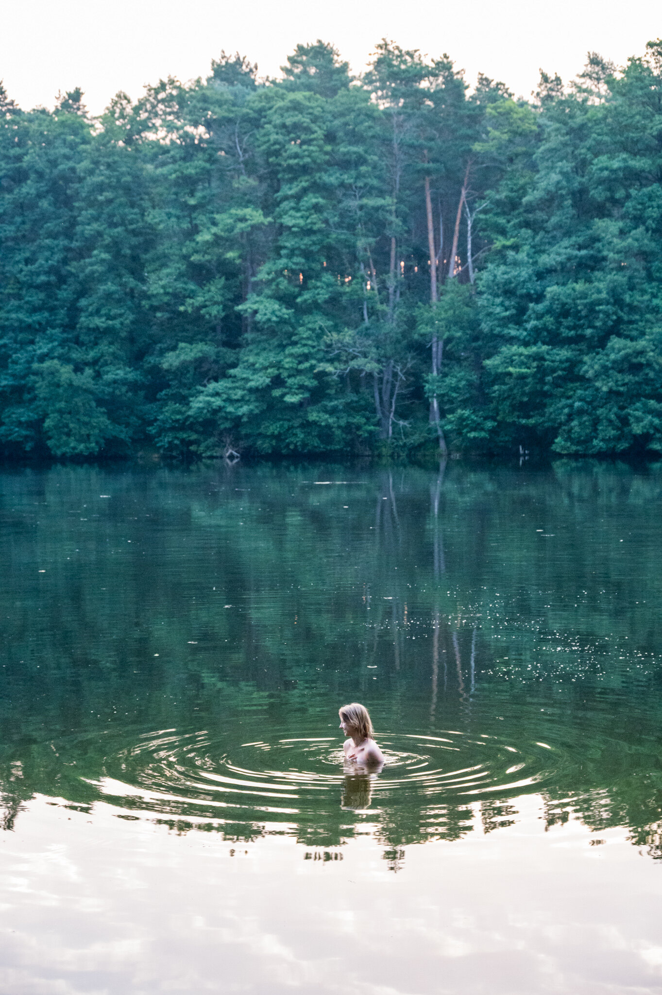
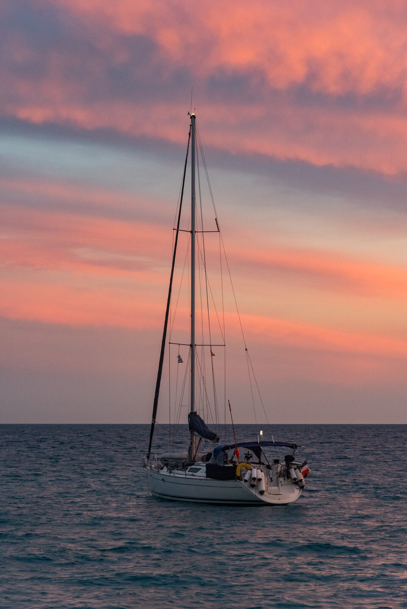
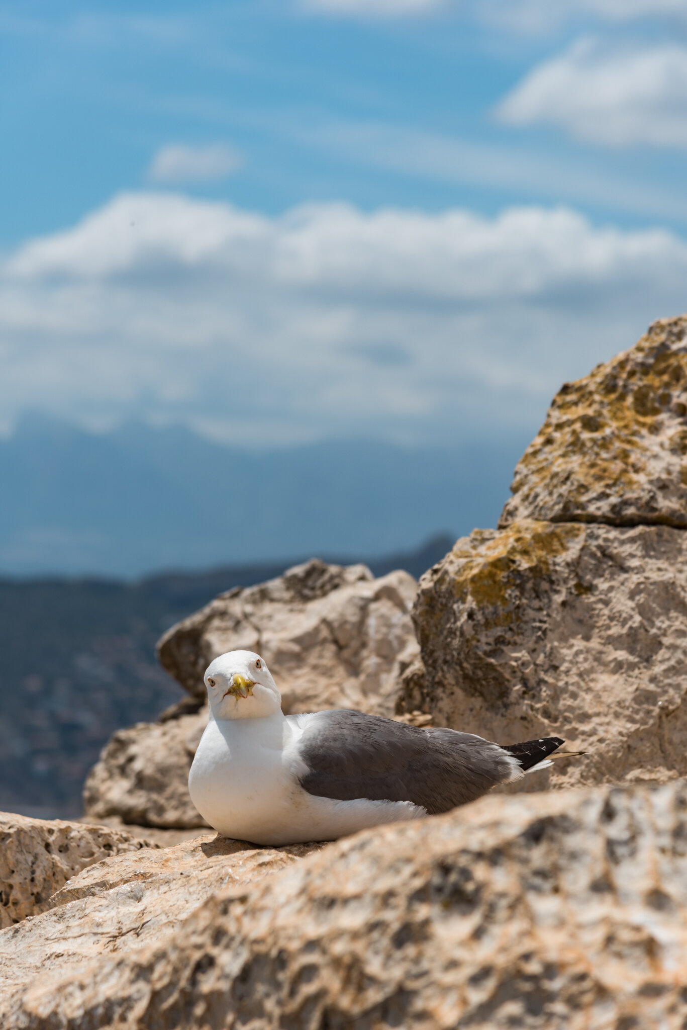
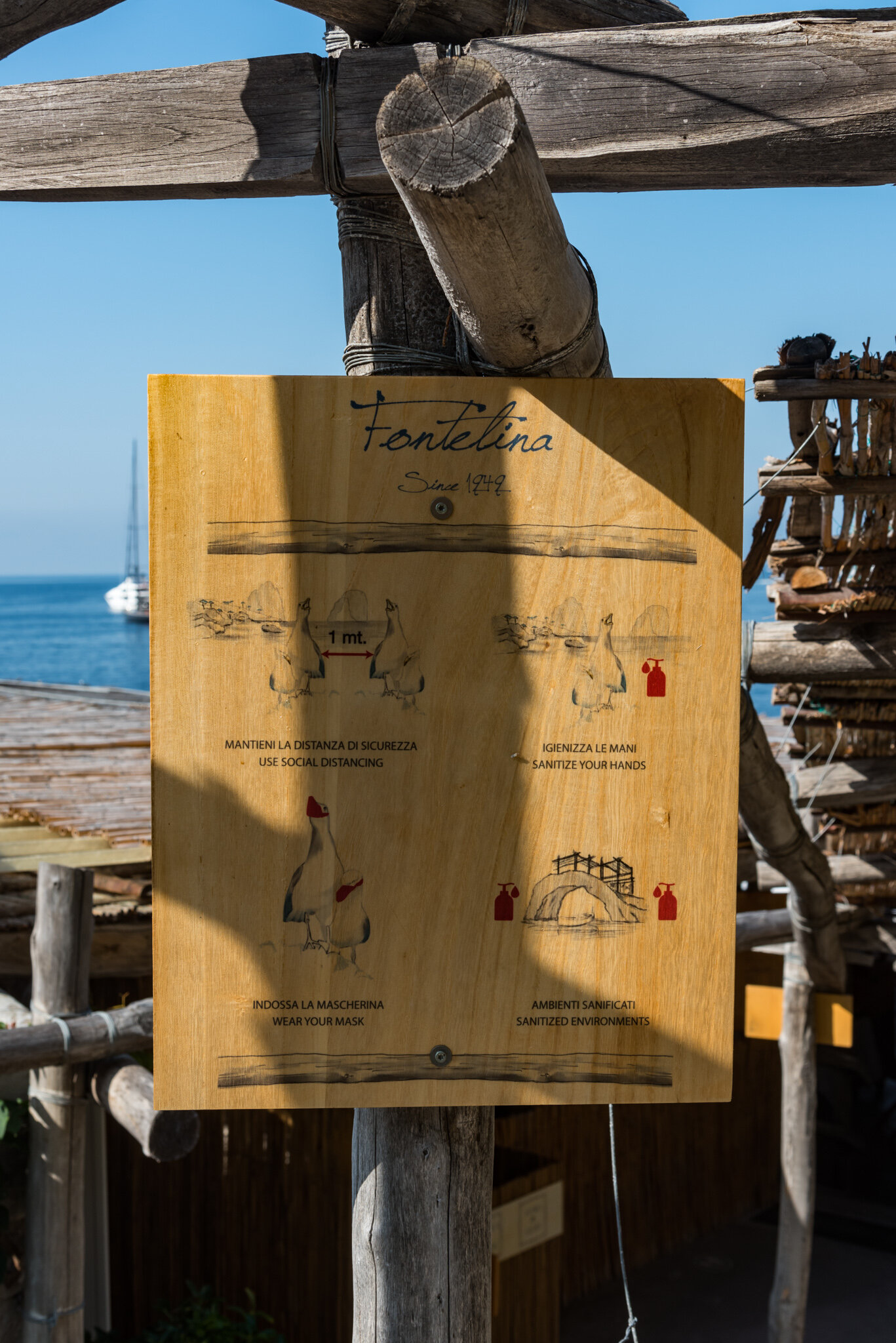
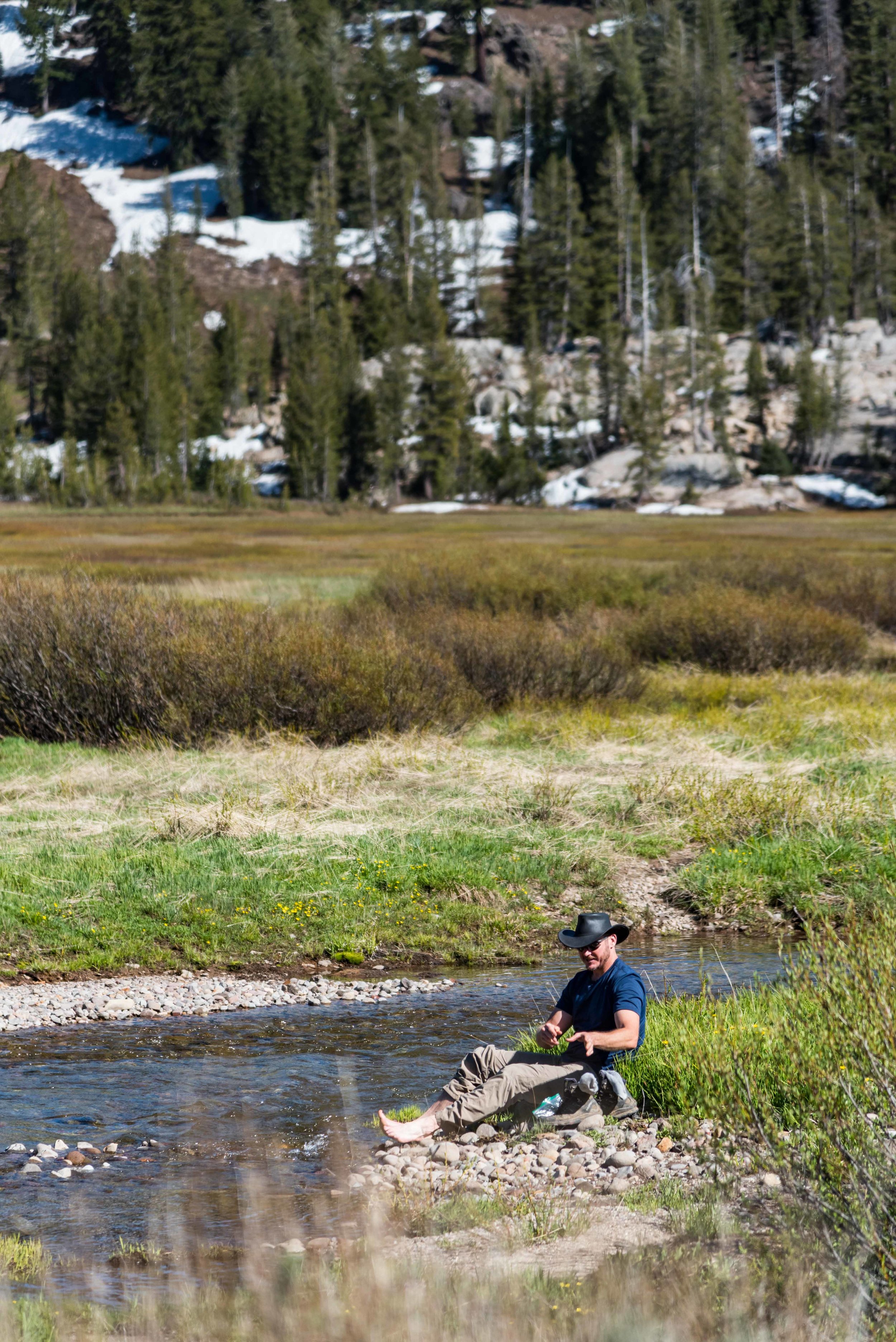
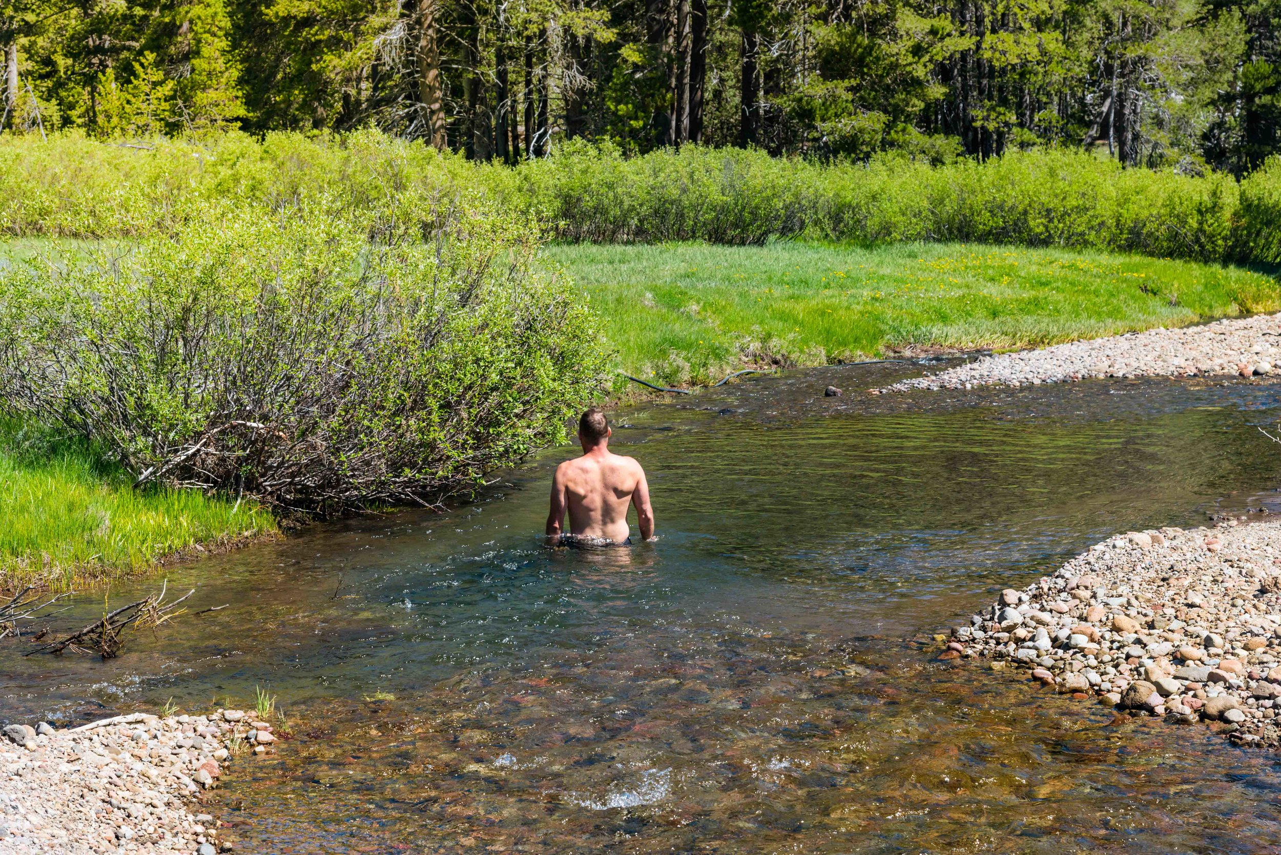
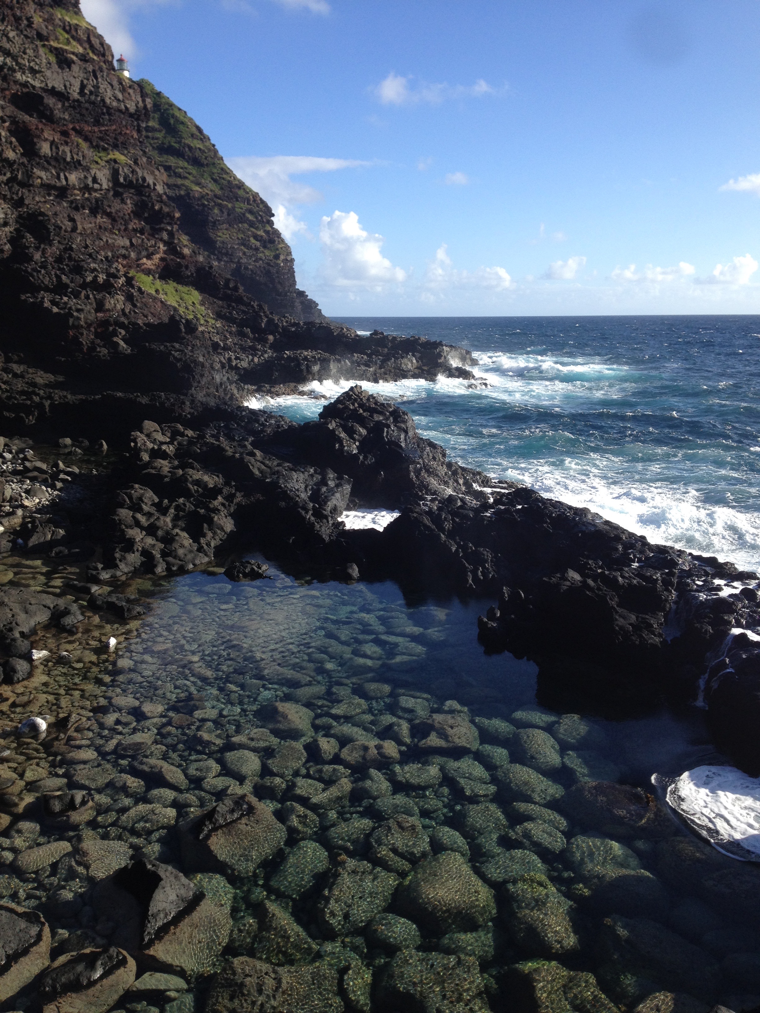
We reapplied bug spray and bundled up with our rain jackets to try to keep them away from our faces and settled in, assuming that after dusk the mosquitoes would turn in for the night. In the meantime, I tried using the towel as a makeshift tent to cover our hands and faces but it was so stiflingly hot underneath that we couldn’t breath. At 11 p.m. the mosquitoes were still buzzing about and skewering through our clothes. It was so hot in our sleeping bags and rain jackets that we gave up and stripped naked and ran to the lake. We quickly sat down in the water, leaving only our heads exposed, relying on bug spray to keep our faces safe.

After a few minutes of respite from the heat, the lateness of the hour pushed us back towards our sleeping bags where we tried to fall asleep again.

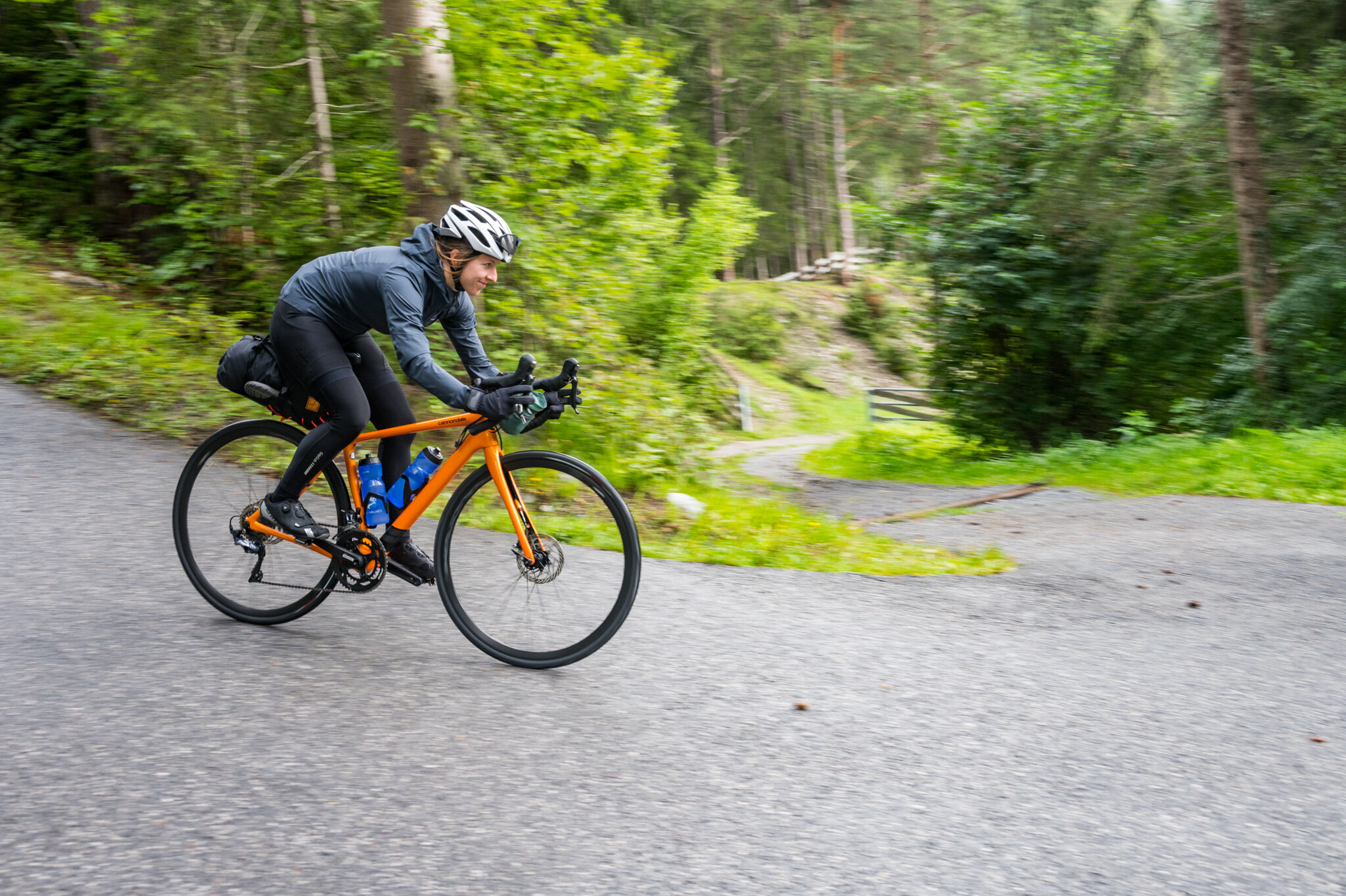
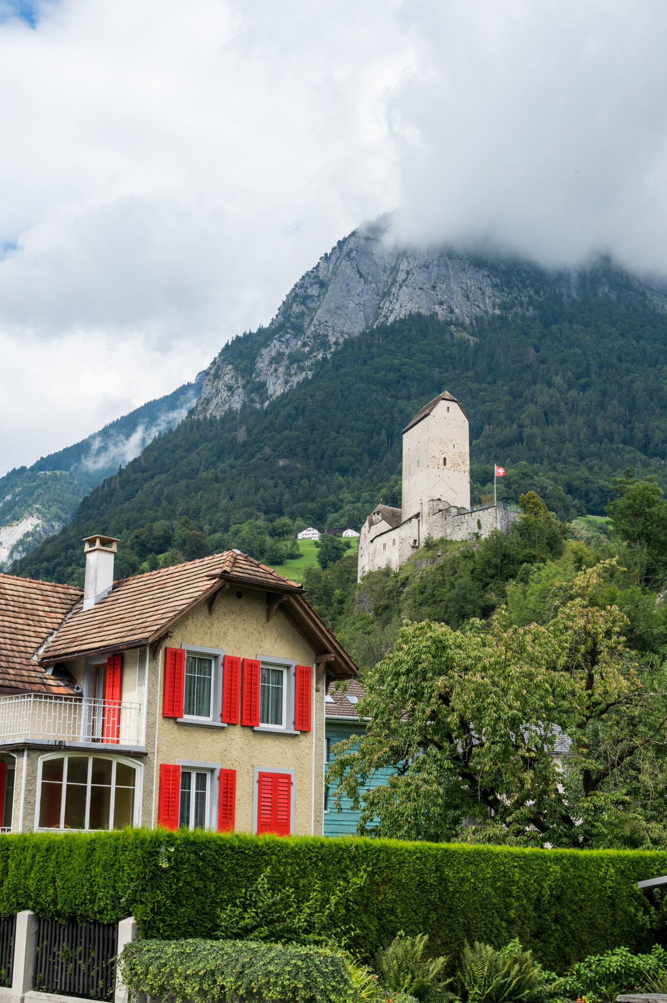
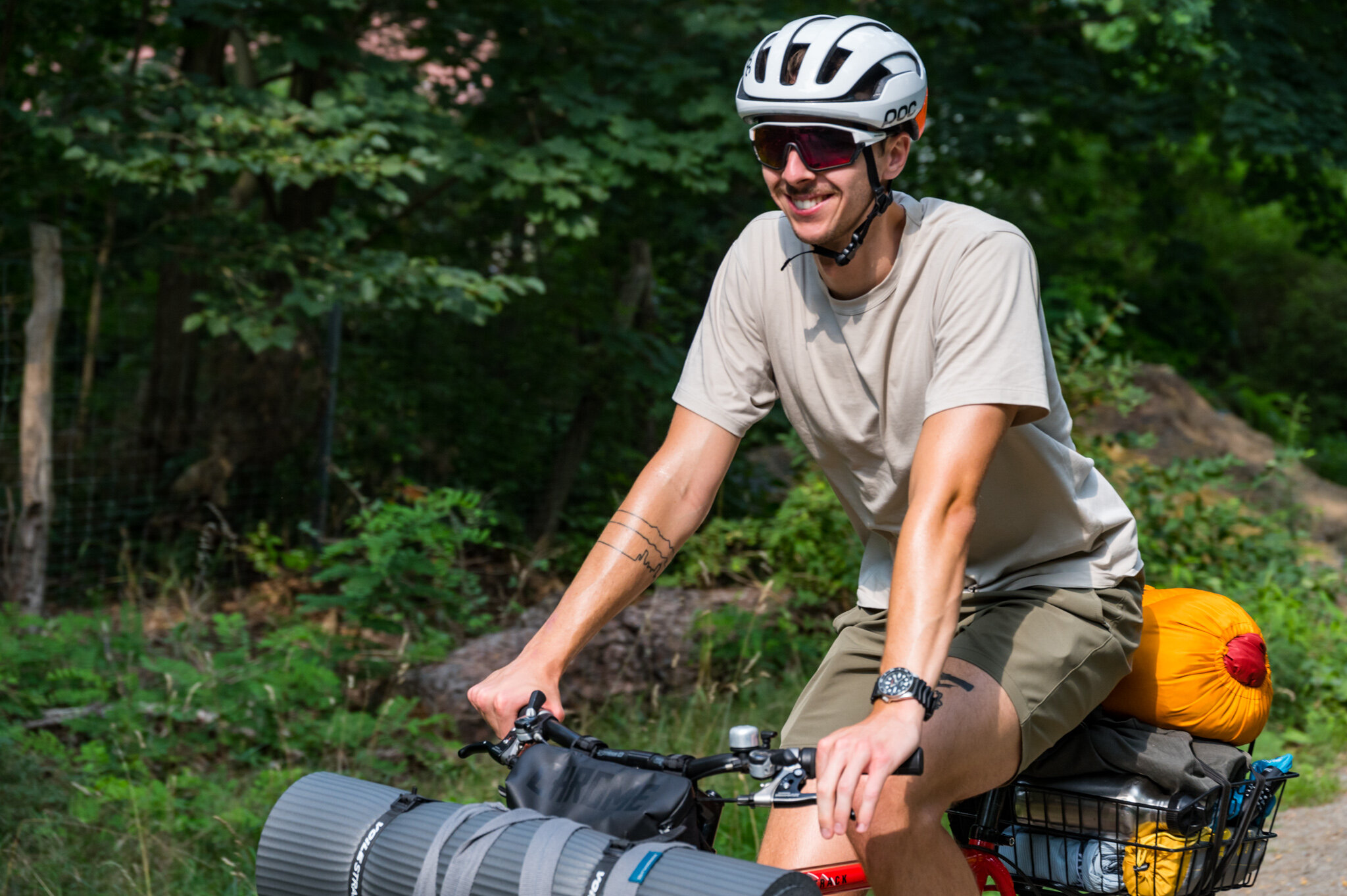
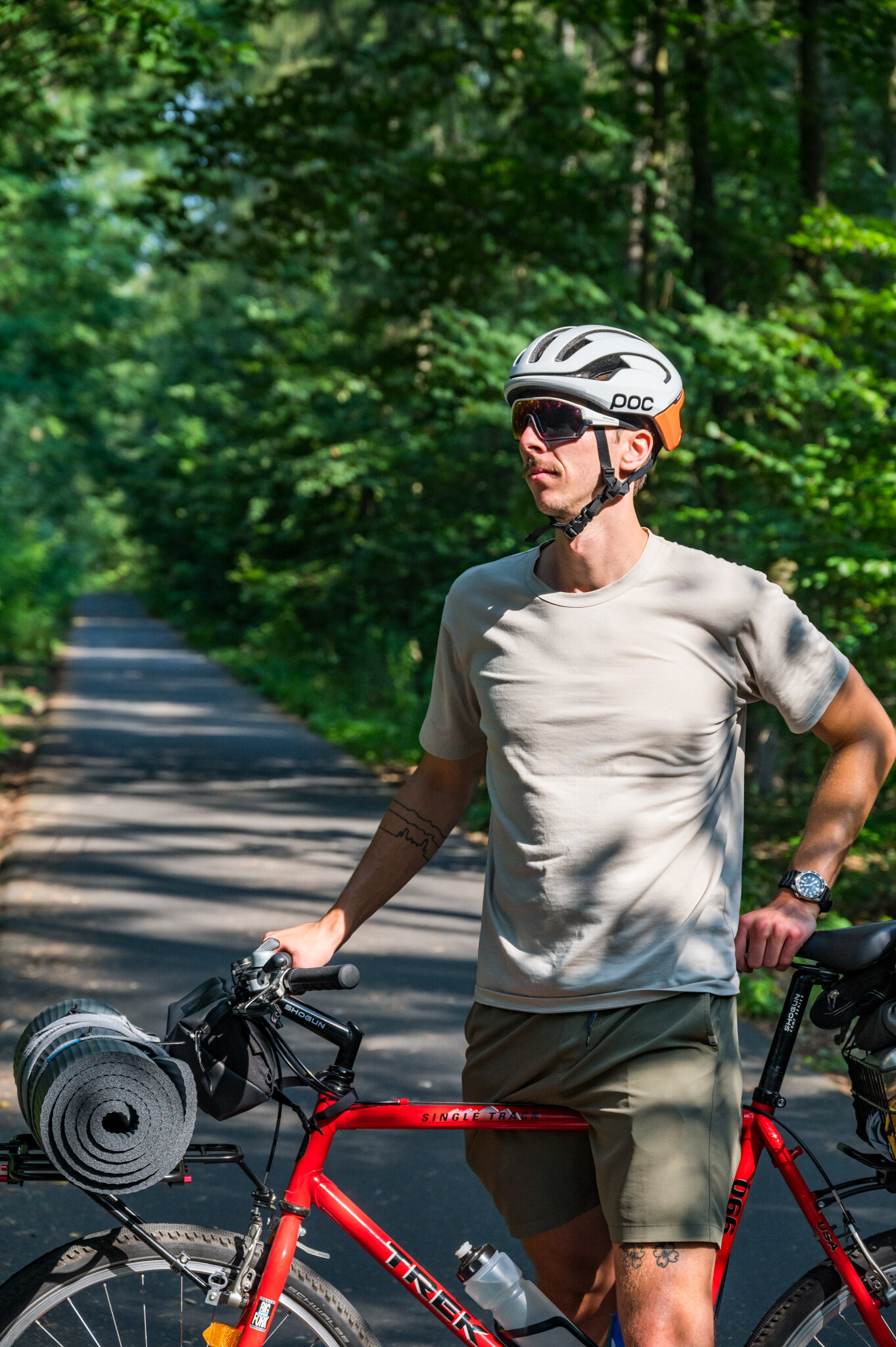
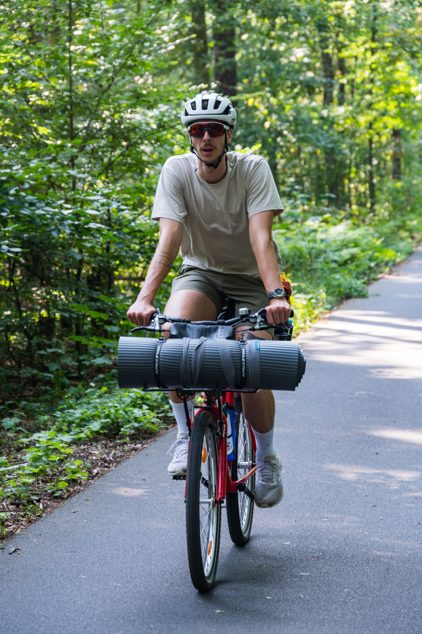
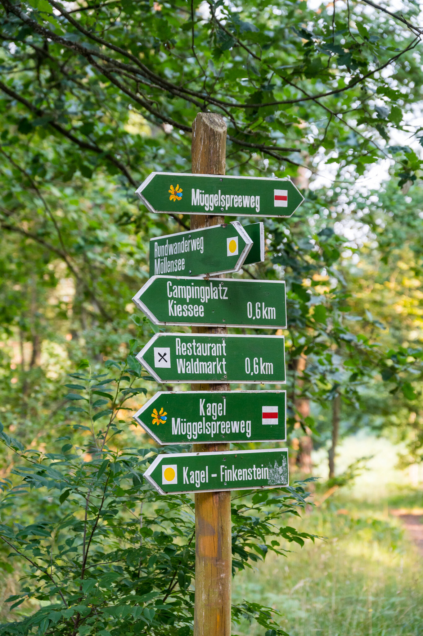
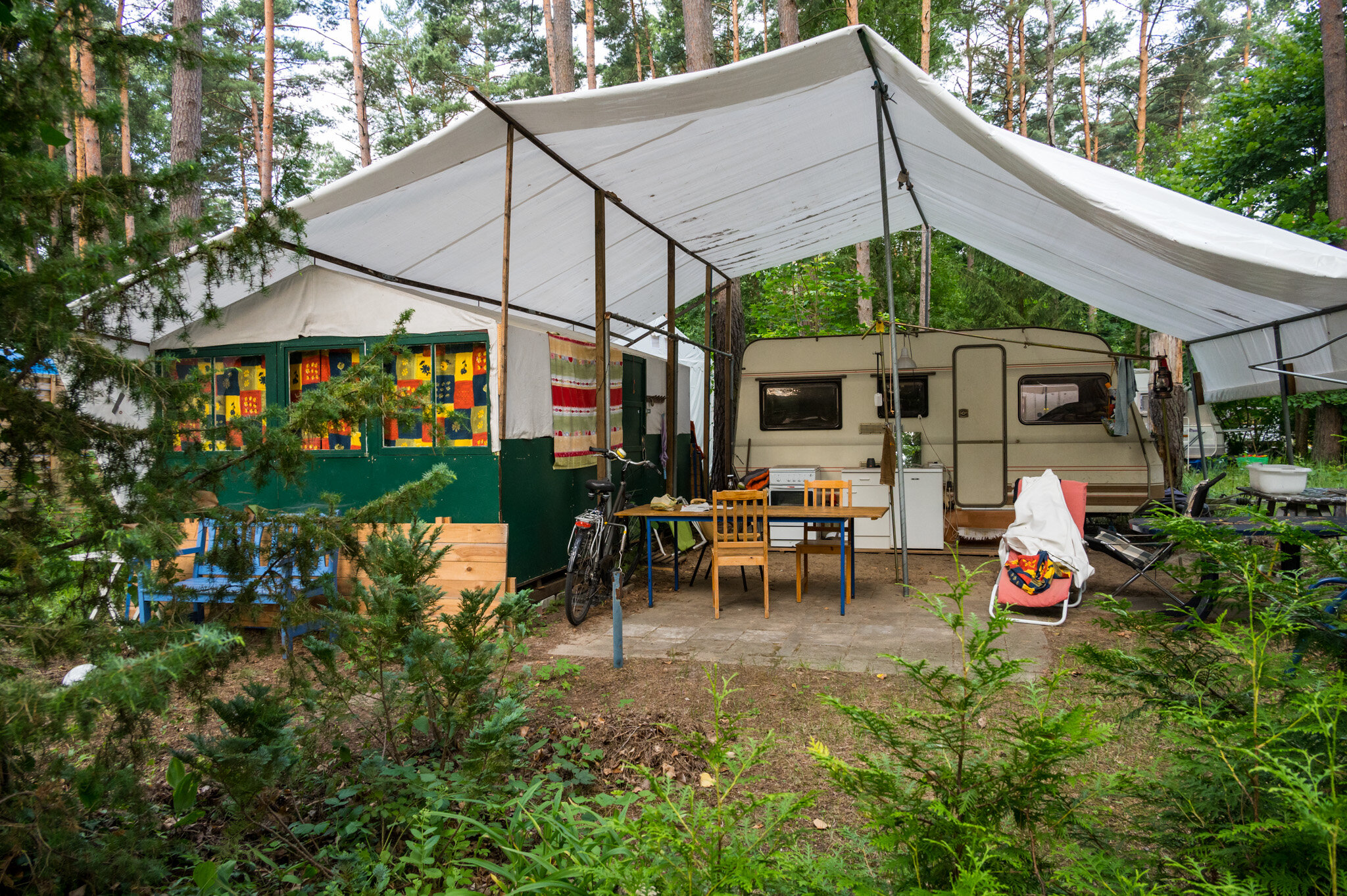
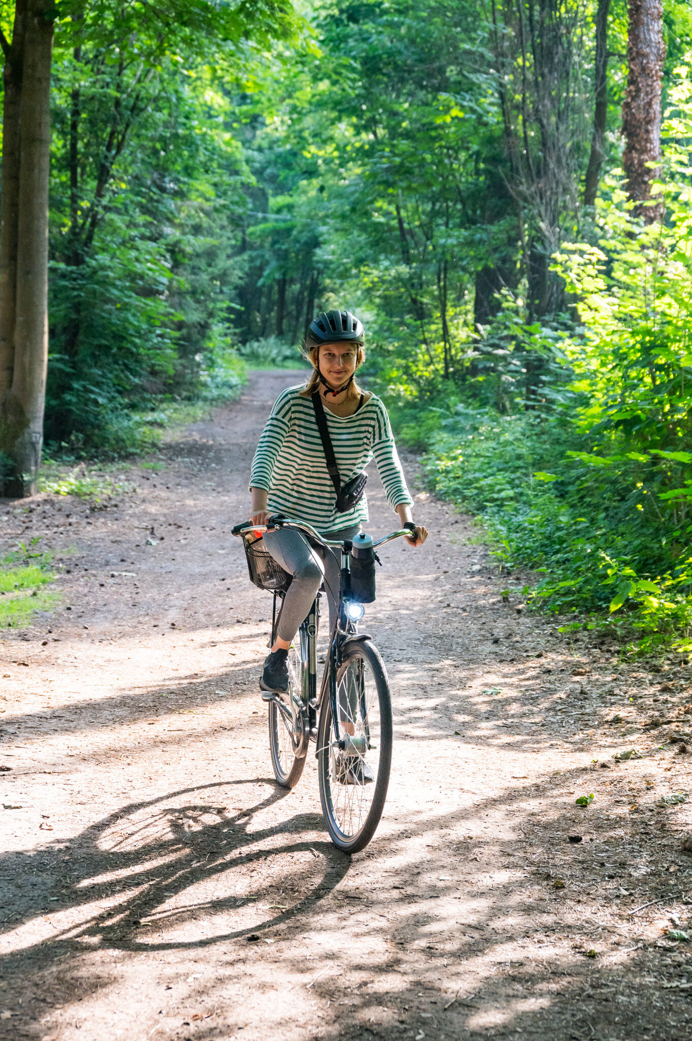
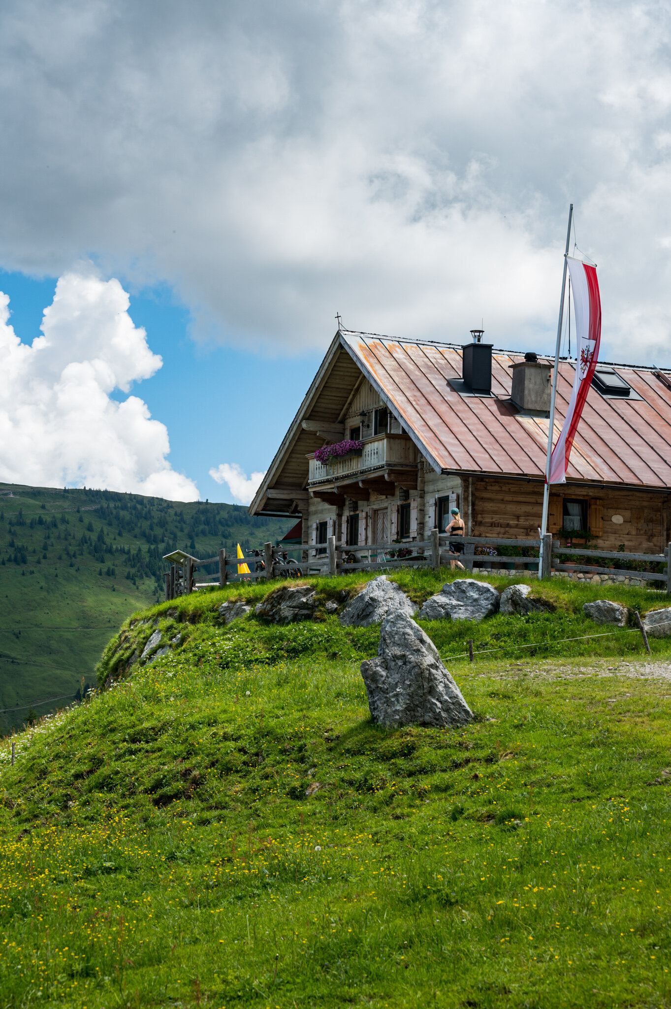
At 1 a.m. neither of us had slept a wink and I was certain that the mosquitoes weren’t going anywhere that night so Lena and I started spitballing solutions. I floated the idea of giving up on sleeping altogether, packing up, hopping on our bikes, and biking back to Berlin in the dark. Lena considered it but didn’t like the idea of biking so far in the dark. She proposed a taxi but neither of us had phone service or any hope that a taxi would come to the middle of the woods an hour after midnight. I then remembered that on a walk around the campground a few hours before I had noticed a gazebo wrapped in mosquito netting. I proposed that we bring our sleeping bags and pads across the campground and sleep in the safety of the gazebo. Before committing to it Lena and I agreed that I should check and see if the mobile homes surrounding the gazebo were occupied—we didn’t want a rude awakening the next morning when an old German man found us squatting in his outdoor dining room.

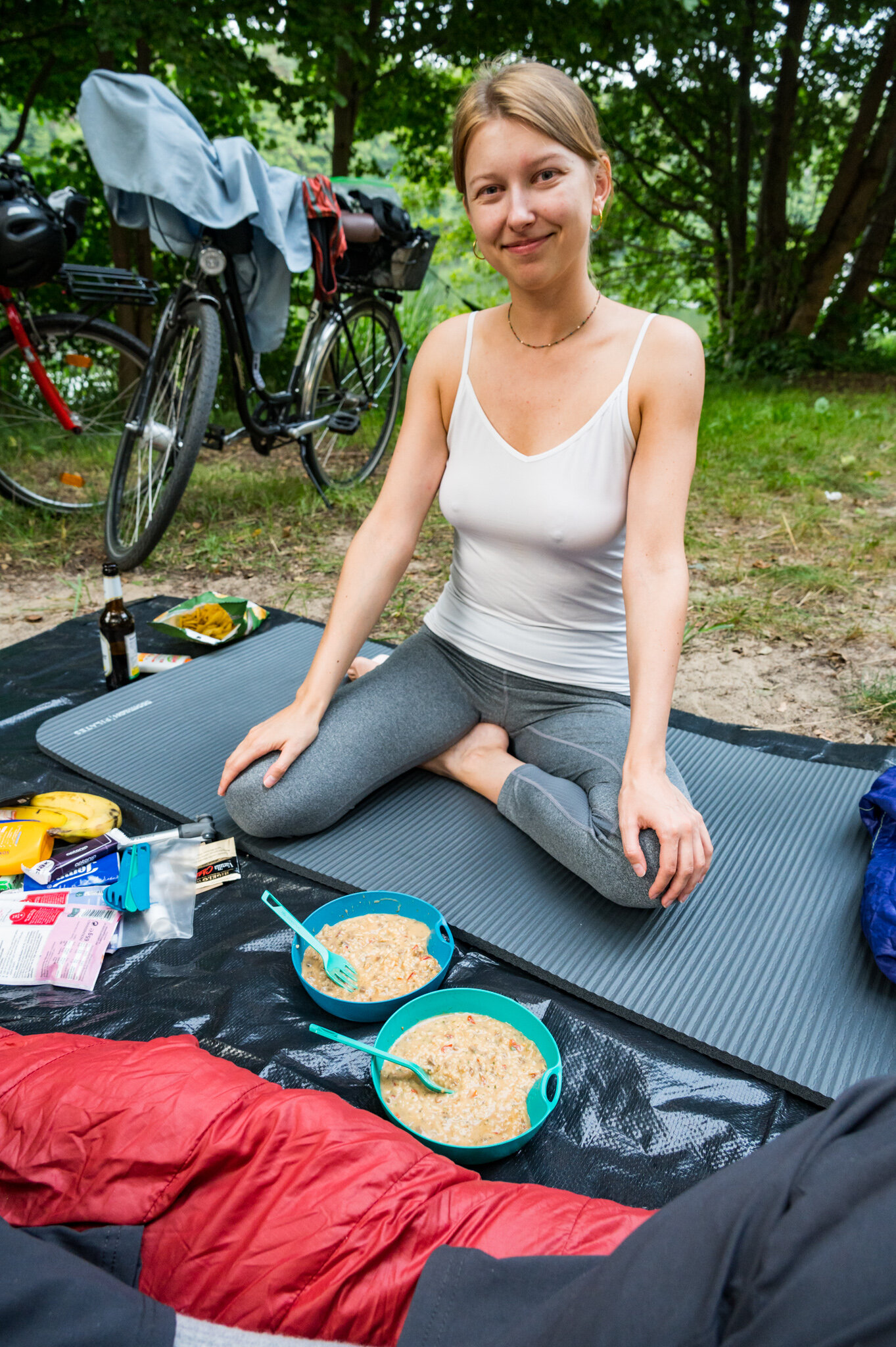
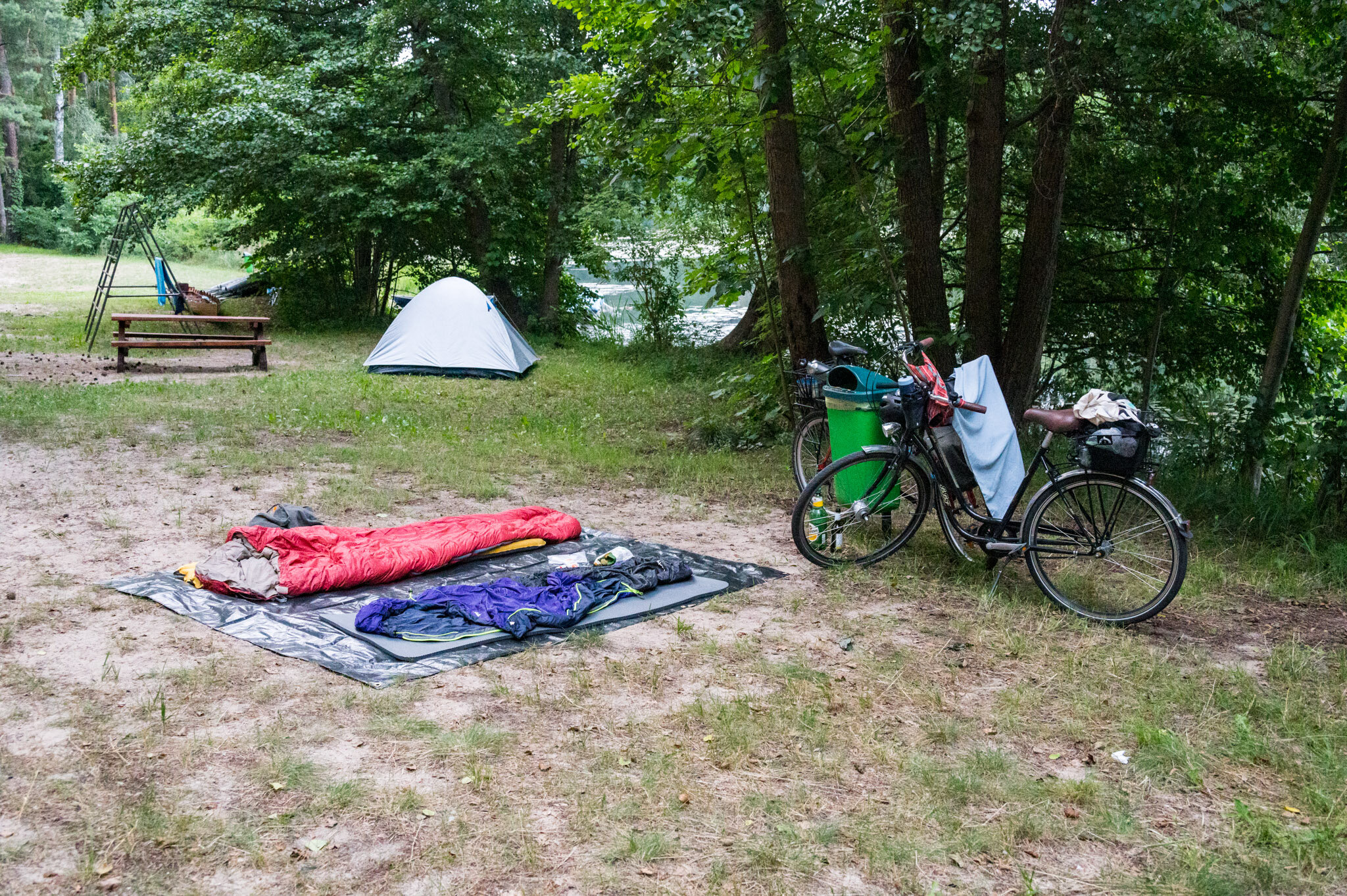
After a quick look around I was certain that none of the spaces around were occupied and went back to our camp. Lena and I quickly grabbed the essentials and threw our tarp over the rest of our gear before walking across the camp grounds to our safe haven.

We hurriedly slid our gear under the mosquito netting and slipped in after as quickly as possible in an attempt to keep out the gazillion mosquitos swarming around us.

We breathed a sigh of relief as we lay on our pads without the familiar buzz of mosquitoes dive-bombing our faces. Finally, we could lay in the heat without our sleeping bags closed up as tightly as possible to keep the horde at bay. I pulled my book out to try and wind down before falling asleep. Five minutes later I heard an unfamiliar ding from a nearby cell phone. Lena and I looked at each other.

“Is that yours,” I asked. She shook her head no.

We held our breaths and looked at the darkness surrounding us, waiting for any noises. The phone dinged again. Then we heard voices.

An elderly German couple was talking—at 2 a.m., no less—and we were camped in their gazebo. It seemed that the “empty” mobile home that was 2 meters from Lena’s feet wasn’t so empty after all.

Lena and I looked at each other, horrified. I imagined an angry old man kicking open the door to his trailer and finding us in his mosquito haven. I gulped in fear and tried to push the idea out of my mind. I assured Lena that if they came outside and found us we could calmly explain the situation to them and they would have to understand. Right? I knew it was true deep down, but at 2 a.m. and half crazy from the never ending onslaught of mosquitoes I was having a hard time convincing myself. Lena wasn’t having it. We laid there for another 20 horrified minutes waiting for them to come outside and discover us. Instead, the voices slowly disappeared and were replaced by snoring. I set my alarm for 5 a.m.—just in case we fell asleep—so we could vacate their space before they woke up.

I offered to Lena that I could stay up and talk to anyone who might discover us but she was as stressed as I was and neither of us could imagine sleeping any time soon. Even without the mosquitoes. So we both lay there in the ironic half-safety of the netted gazebo trying to fall asleep. After another 30 minutes the exhaustion finally took its toll and we dozed off here and there. We slept in nightmare-plagued 15-minute spurts, constantly jumping in our sleep imagining that someone was just outside the mosquito netting looking in on us.

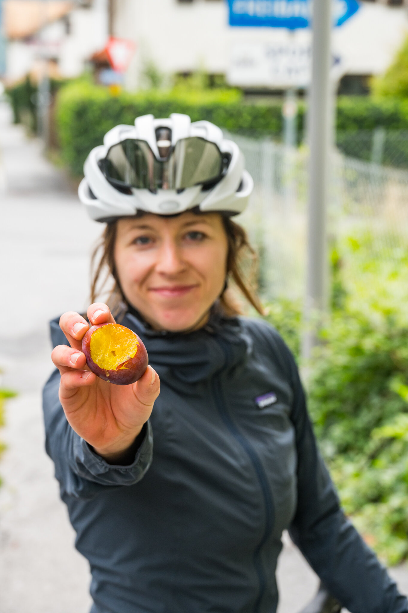
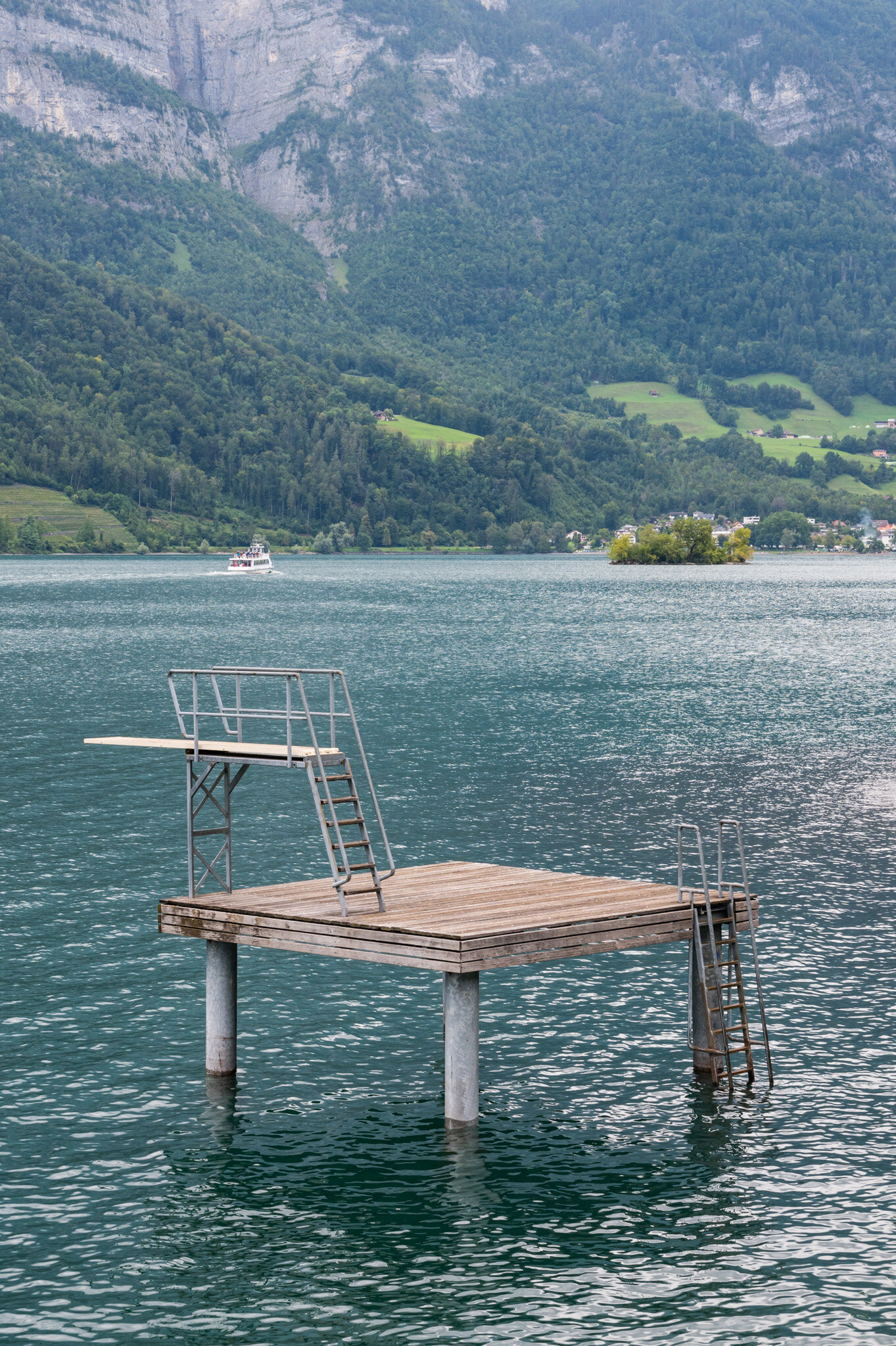
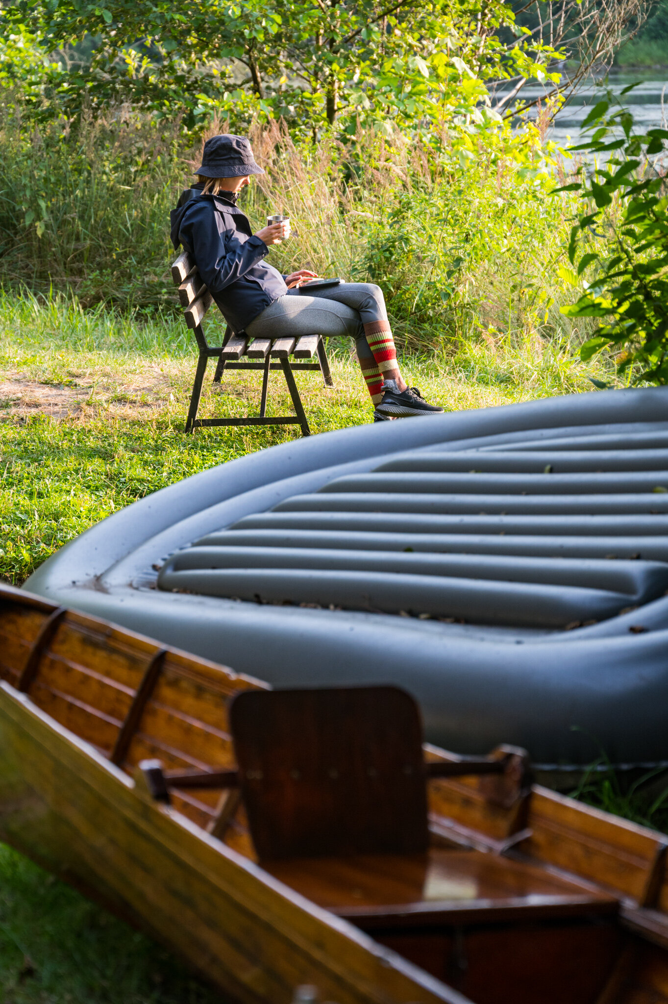
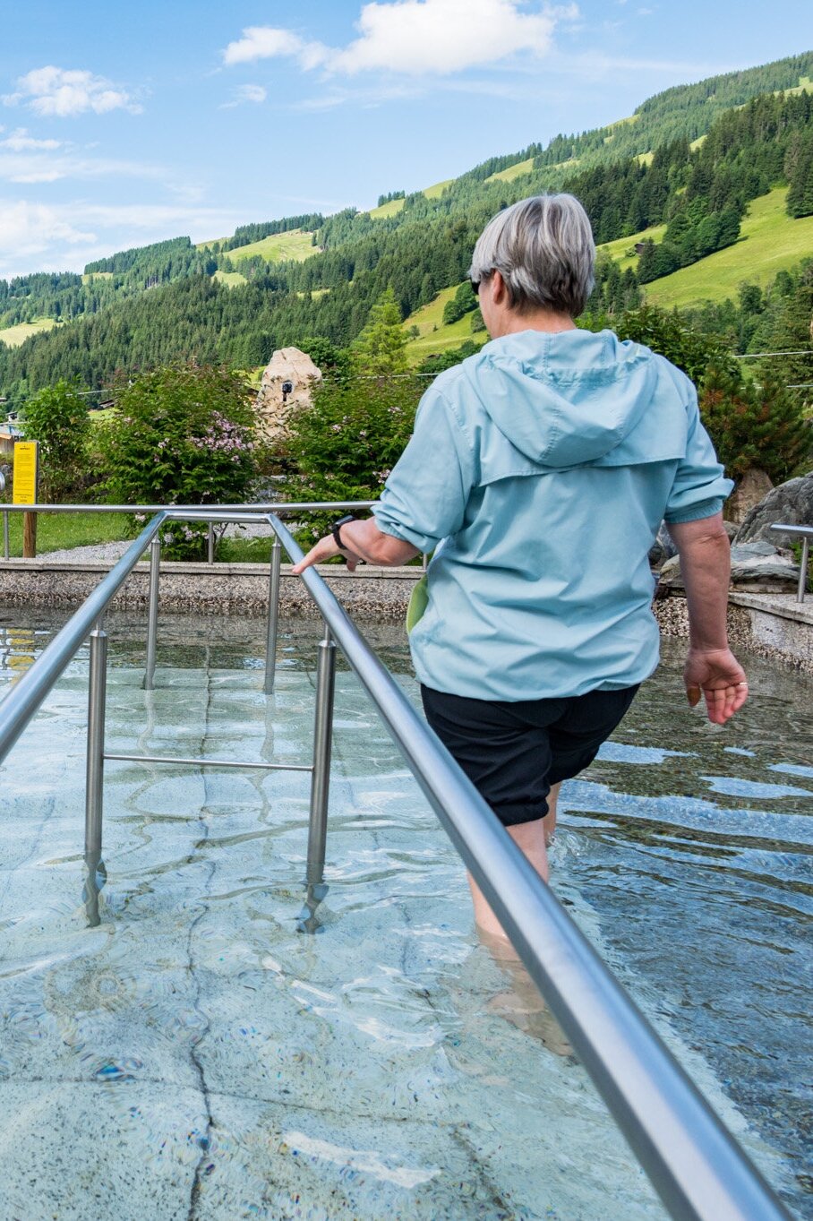
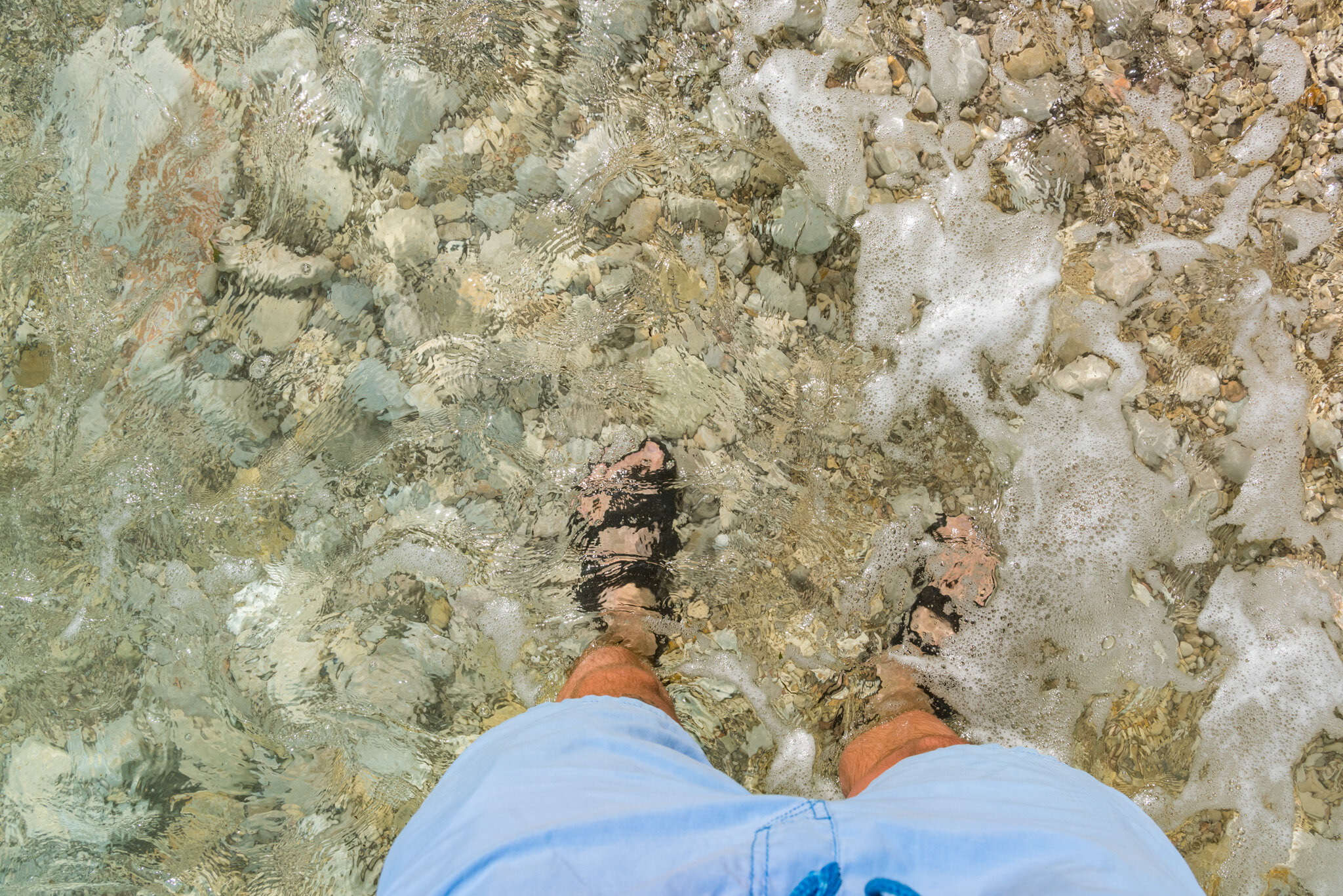
Despite the nightmares the night passed uneventfully. When my alarm went off we dragged ourselves out of our sleeping bags and cleared our things out of the gazebo. We hustled away as fast as possible in case we had woken them again while putting their table and chairs back where we found them. We dropped our stuff back on our tarp and, with nothing else to do, stripped down for a morning swim before the rest of camp woke up.

Our mosquito net-engulfed gazebo was both a safe haven and nightmare-fuel.

Our mosquito net-engulfed gazebo was both a safe haven and nightmare-fuel.

The sunrise was amazing, but both of us would’ve rather gotten a few more hours of sleep before enjoying it. We swam in small circles in the lake with the purple and pink clouds unfurling above us—swatting at mosquitoes all the while. The second we stepped out of the water they went in for the kill so we jumped back in our sleeping bags for protection, certainly not sleep. We decided that a quick breakfast and a cup of coffee were necessary to fuel our departure back to Berlin. Estimated time of departure? ASAP.

The plan was to bike 10 kilometers, much less than the 50 we biked the day before, to the nearest train station that could take us home: Erkner. The second we were packed up we hit the road without a second glance at our cursed campsite. With the wind in our faces and no mosquitoes buzzing around our ears we suddenly felt infinitely better. We started to laugh about how ridiculous our experience had been.

Before we knew it we were already in Erkner. Despite our rough night it felt too soon to get off the bike for the day so we pushed on past Erkner and through Müggelsee. After 30 kilometers we hopped on the train in Köpenick for a quick ride home. We topped up on lost calories with a quick meal before Lena donned a sleeping mask and napped for a few hours. I made the couch my home and turned on the Olympics in the background while I googled affordable two-person tent options with the hope that I might convince Lena to join me for another bikepacking adventure. If it ever happens again I’m sure you’ll read about it here.

Aschau in Tirol, Austria 2021 by William Bryan

After a year of restrictions limiting travel from the United States to Germany were lifted, my parents were finally able to make the trip across the pond to visit my sister and me. We settled on a secluded valley in the heart of the Tyrolean Alps as the perfect place to get away from it all and enjoy some rest and relaxation — and roughly 40 kilometers of alpine hiking to “boot.” We all enjoyed amazing weather, way too much food, and plenty of family time. And we only had to endure a few Zoom calls inside when we weren’t having fun.

Check out my collection of photos from four days in the alps below!

After finishing up our daily work three of us — Lena, my mom, and me — bundled up in case of continuing rain and went out in search of something more interesting than what we'd seen on our computer screens. We found cows and wildflowers in droves during our brief walk and were even more excited about the weekend hikes to come.

On Saturday we set out early for a view of the Kaisergebirge (Emperor Mountain’s) in the distance. On our way back down we stopped for a hefty plate of Käsespätzle, but there’s no photo evidence of that because it disappeared in an instant with a glass of fresh milk to wash it all down. Before walking back to the apartment we stopped by the ice-cold foot baths to “open up the capillaries in our feet,” or something. Some of us handled the ice-bath better than others…

On our final day we took the chairlift up to a plateau below Gaisberg and hiked around the peak to Gampenkogel where we gorged ourselves on Austrian food (Schweinebraten, Wienerschnitzel, Gulasch, etc.). Again, there is no photo evidence of this meal.

Susie and I rolled out of the restaurant early to make a push for the summit of Gaisberg for an unobstructed view of the Kaisergebirge in the distance. We then scrambled down the shale to meet with the others before the last chair down the mountain at 4:30 p.m.

Moraira, Spain 2021 by William Bryan

WEB_4182-Pano.JPG

The smell of the paella wafted up from the back seat, sneaking past the aluminum foil that covered it. The massive cast-iron dish, which was nearly a meter wide, dominated the back seat of one tiny European car; the other car was packed with people. We were driving to Moraira harbor where, after arriving, we tossed pillows and blankets aboard Nirvana for our overnight. I straddled the water, one foot on the dock and one on the stern of the boat, before carefully crossing with our most precious cargo, the paella.

After a few equipment checks, Jonas fired up the motor and expertly piloted the boat out of the harbor and to our distant prize. The sun was just about to set but, unfortunately, the cloud cover made a beautiful Mediterranean sunset unlikely. The smells emanating from the paella dish kept us occupied, though.

Five minutes and no more than 500 meters of motoring later and we made it to El Portet, the comically close cove just outside of the Moraira harbor. Jonas and his sister Tara laid the anchor and before long we were rotating in the wind in tandem with the three other boats anchored nearby. During the stress of anchoring no one seemed to notice but the moment we looked up we realized that the sun had slipped below the clouds on the horizon and was painting the sky from bright yellow to deep purple.

I grabbed a few dozen photos and then decided that the best way to enjoy the sunset would be from the water. I tossed my shirt in the master cabin and dove in off the bow. The others were too cozy on the boat to bother jumping in.

The moment I climbed back onto the boat and the sun had set our stomachs grumbled and everyone’s mind went back to the paella sitting on the deck. We opened the folding table, cracked our beers, and gave a quick toast before attacking the paella with gusto. At the speed we were eating it wasn’t long before our stomachs were filled to the brim and the beer was our top priority.

An hour later we got confirmation that Jonas’ friend Stan had landed at Alicante and was on his way to El Portet. When he arrived there was only one obstacle between him and our party on the boat: 300 meters of water shrouded in darkness. Luckily, Jonas in cotton shorts and a t-shirt on a standup paddleboard was ready to act as his knight in shining armor.

Jonas and I wrestled the paddleboard off of the boat and around to the stern so he could carefully step on. He confidently charged into the darkness as we yelled at him that the board was backward. He didn’t hear us. 30 meters from the boat he rocked left, then right, and fell in.

Head cleared by the cold water, Jonas charged into the darkness unperturbed, his goal only 270 more meters away. I rushed below deck and grabbed binoculars for us to follow along from the boat but with so little light we could only hope that the shadow we were looking at was Jonas and not a trash can on the shore. We spotted him when he fell into the water a second time.

A few minutes later we heard shouts from the beach and assumed that he made it — wet but in one piece. Stan joined on the board and they slowly zigzagged their way back to the boat avoiding a blunder the whole way. Once they were both safely on deck the party started in earnest.

The next morning after being rocked to sleep on the boat in the wee hours of the night we woke to the sun shining through the porthole and the sound of seagulls in the distance. Some of us slept more soundly than others but we all felt different degrees of horrible. In my eyes, the only medicine was a dip in the cold salty water so I climbed above deck and jumped in. I instantly felt better.

Hours later and back on dry land we all logged in to Zoom for work or school. The house seemed to rock slowly back and forth and I longed to return to the cool blue waters of El Portet.

We spent the rest of the week hopping between our computers and the ocean — climbing Ifach, replacing on rocky beaches in idyllic coves, and enjoying a drink or two looking over the water — before flying home to Berlin where the weather was even warmer than in Spain.

As always, thank you so much to Jonas Breuer for hosting us at your family’s amazing home in Benimarco.

Kiefersfelden, Germany 2020 by William Bryan

The holidays were a little bit different this year. With travel restricted and lockdowns blanketing Europe my sister and I found ourselves an ocean away from our parents but only a 7-hour drive from each other. Rather than travel by plane, train, and automobile to California I rented a car, pointed it south, and bobbed my head to energetic music for 700 kilometers. Cruise control did the heavy lifting and before I knew it I was in Kiefersfelden, a tiny border town, and my sister’s new home. We hung out with our parents via video chat for the three nights of Christmas and spent as much time outside during daylight as possible.

Restrictions were tight but I was determined to be as active in the mountains as possible, and hiking was allowed. Everything past the Austrian border was off-limits but that still left plenty to explore. To kick things off I put my finger on the map and picked a peak to summit by myself while my sister was working. I hopped in the car on the cold morning after I arrived and navigated Kiefersfelden’s narrow Bavarian streets on my way to the mountains. I wound my way up into the hills, gingerly weaving around churches and wood-clad alpine homes. As I drove I kept an eye on the thermometer in the car’s display. It was hovering around 2º celsius as I made my way through town but as I gained elevation it dropped to -1º.  To be safe I took turns at 10 km/h. I was investigating every patch of road along the way, wondering if it was icy but I couldn’t see any.

The backdrop to my slip and slide.

The backdrop to my slip and slide.

And that’s why it’s called black ice. I didn’t even have time to panic and try to fix my mistake. The moment my tires hit the patch of slick icy asphalt it was already too late. I slid sideways in slow motion, staring at the stone wall on the side of the road. I was resigned to my fate. My brand new rental car and the quickly approaching rock were about to become very intimate.

But then I jolted to a halt. I looked to my right across the empty passenger seat and inspected the rock wall, wondering why it was so far away. I climbed out of the car and noticed that there was a patch of gravel half a meter wide separating the pavement from the rock wall, which had stopped my slide. I let out a sigh of relief.

After a few minutes to steady my nerves, I started the car up and cautiously pulled back onto the road, driving even slower than before. As I neared the trailhead I came upon a field of ice blocking my way. Centimeters thick and blanketing the road as far as I could see up the hill into the distance, I realized I had no chance of making it to the top to my destination. I was discouraged by the weather but not willing to give up so I returned to the main road and drove until I found a parking lot packed with cars and vans.

WEB_0966.jpg

Trusting the locals, I pulled over, suited up, and walked until I found a trail marker. It wouldn’t be the same as my planned hike, but after months in Berlin with not a mountain in sight, any peak would make me happy.

Hiking 4.5 kilometers through the mud, snow, and ice I gained 610 meters of elevation before reaching the peak, Wildalpjoch. The flat plains of Bavaria spread out to the north, the Wendelstein weather station capped the peak to the west, and the jagged peaks of Austria jutted up to the south and east. After a quick snack and two dozen photos, the cold alpine wind was too much to bear. I took one last look at the vast snow-capped mountains in the distance and headed back down to the car.

Two days later my sister and I set our sights on Brünnstein, a peak in the last row of mountains before the Austrian border. The trek started off easy enough. We wandered through empty muddy fields dotted with alms. During normal times these huts would be crowded with hikers looking for a warm place to rest their feet and a hot meal before continuing on. But these weren’t normal times. We passed hardly a soul on the hike and the alms were deserted, locked down to curb the spread of the virus.

Just before the peak as the tree’s thinned our path became rocky, steep, and dotted with alpinist’s cables. We clambered up the nearly vertical slopes, using our arms to pull ourselves along the path. At the top, we were greeted by a warning sign, a tiny shrine, and a view spanning dozens of snowy peaks. We celebrated with a local summit beer and then continued back down the mountain along our 16km route.

That night and into the next day Bavaria was dusted with snow. From the valleys to the peaks everything was white. Neither my sister nor I had the right gear (read: boots) but we were both determined to get outside so we donned our warmest socks and porous running shoes and ventured into the cold, wet mountains once again. We drove two towns up the road and parked the car at the Wendelstein train station.

We didn’t have a goal in mind but started to walk in the direction of Wendelstein, not sure if conditions would let us get close to the summit. Before too long we were making our way through ankle-deep snowdrifts. More than one local looked at our footwear and grimaced. How un-German to be unprepared for a snow hike.

We had thought our 10:30 am start had been plenty early but at 1 pm it became clear that if we went for the Wendelstein peak we wouldn’t make it back to the car before dark. After a short debate on the risks we unceremoniously turned around and made our way back down the mountain, trekking 18 kilometers in all.

After seven days in the mountains and more than 75 kilometers of walking, hiking, and trudging through the snow I was sad to return north to Berlin. But I was also endlessly grateful that my sister’s new home provided the perfect mountain getaway. Despite the wholly non-traditional virtual Christmas celebration it still turned into a genuinely good holiday in the middle of the pandemic.

Bay of Naples, Italy 2020 - Part 1 by William Bryan

Europe’s COVID stricken summer was drawing to a close and borders were tightening after a short summer tourist season; but Olena and I still had the rest of September off and we were determined to make the most of our free time. While I was biking to Copenhagen she was busy figuring out where we could travel to. She explained our plans over the phone while I was riding along endless cycle paths in the middle of nowhere.

“Flights to Rome are the cheapest,” she began.

“OK,” I said distractedly.

“But you and I have both been to Rome and they don’t have nice beaches,” she continued.

“So we aren’t flying to Rome,” I said.

“No we fly to Rome but then take the train down to Naples. Then we take a ferry to Capri and spend the night. Then we take another ferry to Positano. After a night there we go to Sorrento,” she rattled off excitedly.

“Wait. Where is Capri,” I asked.

“An island off the coast of Italy,” she said, like I was crazy.

“This seems like a lot to do in just a week. Shouldn’t we just pick one place and hang out on the beach? This is supposed to be relaxing, after all.”

“No, no, no. It’ll be amazing, you’ll see,” she said.

Boy, was she right.

That’s how—not even 12 hours after getting back to Berlin from my Copenhagen bike trip—I found myself making my way to the airport at 5 a.m. to fly to Rome.

After our flight and a few trains we made it to Naples around noon and started walking to our hotel. We dodged scooters coming from all directions while avoiding piles of trash and mystery liquids in the gutter. We dropped our bags and made our way right back into the fray of Naples, meandering along the Via dei Tribunali in search of lunch: pizza. A neapolitan pie quickly made all of the disarray of Naples seem worth it and it gave us all the energy we needed to charge through the rest of the day’s activities.

We explored a handful of churches, and as much of the Spanish Quarter as we could handle. Which really isn’t much. We hiked up to the San Martino Monastery for views of Mount Vesuvius and refueled with espresso along the way. After 10 hours we’d already seen all of Naples that we wanted to see, and capped it off with a rich pasta dinner and a bottle of wine.

With Naples checked off our lists, the next day we made like tourists and took the train to Pompeii. Neither of us had been entirely set on going to Pompeii but once we were there we had a blast getting lost among the city’s ancient streets and exploring villas from another time. But after four hours in the Italian heat we called it a day and made our way back to the hotel. On our way we grabbed a pizza from the famous L’Antica Pizzeria da Michele (Eat, Pray, Love, anyone?) and scarfed it down before passing out.

The next morning we zipped up our bags and made our way to the ferry port for our trip to Capri, a small, picturesque island known for limoncello and mega yachts. After shuffling on to the island with a load of tourists we made our way to the scooter shop to get our hands on some wheels. It wasn’t going to be cheap. But it sure beat getting a ton of taxis or sharing air with a dozen other people on Capri’s tiny buses.

I reassured the scooter shop that I knew how to ride a scooter before swerving out onto the street with Olena on the seat behind me and our bags tucked in wherever we could find space. I pulled the throttle back as far as it would go and the little-yellow-scooter-that-could coughed its way up the hill surrounding Capri’s harbor. I struggled to navigate the hairpin turns with the scooter so heavily loaded but after a harrowing ride we made it to our hotel in the mountains.

Not wanting to waste a minute on the idyllic island we tossed our bags in our room and hopped right back on the scooter to explore. The turns were much easier to navigate without bags so we started to enjoy the ride as we made our way up the mountain and over to the south western tip of the island to the beach.

We laid out in the sun and listened to the waves lapping against the rocks. Oh, and the children screaming at the top of their lungs as they jumped into the water. Families swarmed around us, teaching the young ones how to swim and splashing each other in the hot sun.We succumbed to our hunger pangs before the sun got too near the horizon and buzzed on our scooter back to town for dinner and the sunset.

We set our alarms for just before sunrise and rushed out onto the terrace as the sun’s rays turned everything orange. We took picture after picture until the heat of the sun started to overwhelm us, not even 30 minutes after sunrise.

WEB_9978.jpg

Then, with sunrise over, we made our way straight to La Fontanilla, an exclusive beach club and restaurant that felt like a dream. We soaked up the sun until we got too hot to think straight and then jumped into the turquoise water, over and over again. All morning and afternoon we rotisseried until we had to leave to catch the last ferry to Positano.

25 Phone Backgrounds by William Bryan

The phone background tradition turns four this year—and I turn 25—which means 25 new photos from the past 12 months for you to choose from.

Browse the photos below and feel free to download one for your smartphone background by tapping on it and downloading the image from the new window that opens.

Lisbon, Porto and Faro, Portugal 2019 by William Bryan

After we’d bought our flights for what we hoped was one of the warmer areas in Europe over the holidays I messaged a friend and asked about what to do in Portugal. “Don’t go in December, it’s the rainy season,” was the first thing he said. After a quick Google to confirm that, yes, my Portuguese friend knew a thing or two about the weather in his home country, I steeled my resolve and admitted that it was too late. I had already booked flights. After a bit of finger-wagging, he sent along a list of things to do and wished me luck.

I forgot about the expected weather to come until two days before the flight when the airline sent a message about our upcoming flight: 

Weather Conditions in Portugal

Due to the adverse weather conditions in Portugal, air traffic is heavily conditioned and may cause delays or cancellations on flights from or to national airports.

TAP Airline Services - 12/21/2019

Despite our last-minute fears there was nothing to do but hope for the best.

Luckily for us, the best was all we got.

After arriving in Lisbon we made sure to take advantage of the good weather by exploring the whole city on foot. We hit all four of the biggest churches, dodged streetcars on Lisbon’s impossibly steep hills, and sank our teeth into some of the city’s local food. On our last night in town, we timed it perfectly—along with what felt like every other tourist in Lisbon— to watch the sunset over the Torre de Belem.

On our way to Porto the next day we stopped at Cabo Carvoeiro, a peninsula that holds an ancient walled city along with a Rip Curl outlet for the surf tourists that come for the point break with never-ending Rights. As we clambered over the rocky cliffs and watching the surf I couldn’t help but feel like I was standing somewhere on the California coast. The water, the sun, even the ice plant beneath our feet felt like home.

After exploring the peninsula for a few hours we charged straight to Porto for the next adventure.

Our first day in Porto was spent taking in all of the sights (read: more churches). On day two we explored the Serralves Estate’s museum, mansion, gardens, and farm before making our way to the coast for the final sunset of both 2019 and the decade.

After enjoying our time up north we headed as far south as you can go for some R&R in warmer weather. On our way south to Faro we happened upon an ancient hilltop fort with views for miles where we sat down for a quick canned sardine picnic before continuing south.

Feeling rested and ready for one last push before flying back to Berlin we made our way to Cabo da Roca, the western-most point in Europe for the final sunset of the trip. Again, it felt like half of the tourists in Portugal had the same idea—bus after bus of tourists piled onto the already crowded cliffs surrounding the lighthouse at the point.

Torn between the prospects of actually seeing the sunset and the inevitable traffic-jam leaving the Cabo we hustled back to our parked car to get a head start on the mad dash back to Lisbon. The winter sun set quickly as we zoomed up into the hills towards the city, with Big-Sur-Esque views unfolding around us.

24 Phone Backgrounds by William Bryan

This tradition just turned three years old, and I just turned 24, and that means new phone backgrounds—24 of them, to be precise.

Browse the photos below and feel free to download one for your smartphone background by tapping on it and downloading the image from the new window that opens.

Eagle Pass, California 2018 by William Bryan

“Most people do the John Muir Trail in 30 days, but I think we can do it in 15.”

My cousin Mark had texted me offering a backpacking trip as a graduation present.

“Uhhh, I don’t have 15 days for a trip Cuz. I’m not even going to be in California that long,” I replied.

I figured that was easier than trying to convince him that the JMT in 15 days wasn’t exactly reasonable. After some more texting back and forth that included a few date changes and some gear talk we decided on a three-day trip in California’s Emigrant Wilderness just north of Yosemite. We were both familiar with the area and realized we didn’t have that much time for a wilderness trek after all.

Meetup with Mi Wuks

After running into road closures that added another hour to our drive we got on the trail around noon as we looked at nearby snowy peaks and talked about how lucky we were to be able to find any way into the backcountry this early in the season.

While we hiked my cousin told me about hunting in the region and how he met a Mi Wuk couple who owned a 100-year lease on cattle land that we’d be hiking through. He hoped that they’d already be living in their Cooper Valley homestead at 8,000 feet so he could see them again.

We made quick work of Eagle Pass but still only arrived at the homestead around 5 p.m. because of our late start on the day. The Mi Wuk couple wasn’t there but the little cabins and outhouse made for a picturesque place to make camp so we decided our hike was done for the day.

As we started a fire and cooked dinner we broke into a fifth of Crown Royal that we’d carried in (with its felt sack) to pass the time. A few hours later when we reached the bottom of the bottle and the end of our wood pile we scattered the coals and hit the sack.

Suffer Fest

We woke up the next morning to everything in the valley covered in frost. We made our way over to our camp kitchen to start on coffee and breakfast when we noticed the bottle of Crown Royal sitting in the dirt, empty. Suddenly our headaches made more sense. After the coffee kicked in we got to work planning our day over some hearty homemade granola.

“There’s this peak, Granite Mound, that I’ve seen in the distance when I hunt this area. I’ve always wanted to climb it but never had the chance, you up for it?” Mark asked.

“Sure. We’ve just got to hike through this valley, and this valley, and this valley, and then make this part of the climb to 10,000 feet without a trail,” I said as I pointed at the map that was laid out between us.

“Yup,” he replied, as if it would be as easy as skipping a rock.

We hiked in and out of mosquito infested valleys all morning, crossed a half-dozen streams, and lost the trail in huge swaths of snow along the way, until we finally got a glimpse of Granite Mound two miles in the distance, according to Mark’s GPS. We haphazardly planned our summit route from afar and then embarked on the portion of the hike that was off-trail.

An hour and two false summits later—which dashed my hopes more than I’d like to admit—we stood in the middle of a field of snow with soaked boots and looked up at the summit. It still felt impossibly far away, but there was no way we’d turn back now. We scarfed down some salami sandwiches and gummy bears before we slogged our way to the top as we huffed and puffed from the altitude.

When we finally made it to the top we looked off in the distance at Yosemite Valley and turned in amazement at the 360-degree view that surrounded us. We saw the valley that our camp was in and plumes from forest fires in the distance. I had barely caught my breath when I looked at my watch and thought we should head back home if we didn’t want to be hiking the last mile in the dark.

As we hiked back all of the fields of snow that we’d traversed on the way up became sledding hills on the way back down, and with our tired legs we didn’t care about wet butts.

We were still a valley away from camp when I asked Mark how far he thought we’d walked.

“Today wasn’t that far, I’d guess seven or eight miles.”

“Total? Or one way,” I asked incredulously. There was no way we’d only hiked eight miles, I thought.

“Total,” Mark responded coolly. Don’t forget, this is the same person who thought we could hike the John Muir Trail in half the time that most people do.

I didn’t have the energy to argue so I focused on the trail ahead and the freeze-dried backpacking meal that waited for me at camp.

Our home valley didn’t end up being the warm welcome we were looking for. The three minutes it took the water to boil for dinner felt like an eternity as we were swarmed by what felt like all of the world’s mosquitos. Despite the heat we bundled ourselves in every bit of clothing we had to try and keep them at bay while we ate our food in silence, too exhausted to talk. I was the first to admit defeat in the battle against the bugs and trudged to our tent to lay down and rest. Mark wasn’t far behind.

In a daze, we pulled out the map to sort out how far we’d actually hiked that day. After some quick math, we realized Mark was way off. I wasn’t shy in rubbing it in that his estimate was so far off.

“16 MILES. Ha! Man were you off, Mark. 16 miles to a 10,000-foot peak,” I remarked.

He wasn’t embarrassed to admit how wrong he was as he folded up the map.

We didn’t need Crown Royal or an hour of reading to help us sleep that night as we curled up at 8 p.m. trying to find a position, any position, that didn’t hurt.

Homeward

Compared to the day before the hike home was uneventful. We meandered our way up and out of Cooper Valley and back down to the car, an easy 5-mile stroll. We rinsed off in a stream and cooled off our blister covered feet before getting back on the road. The first place that sold burgers was our first stop on our way back to civilization and crazy times in the world. (Trump and Kim Jong Un met while we were gone.)

Seattle, Washington 2017 by William Bryan

Olympic National Forest is only 26 miles from Seattle as the crow flies, but driving there involves navigating Puget Sound, a dozen other beautiful little bays, and more than 2 hours on the road. But I still had my parks pass and I’d be damned if I didn’t get my money’s worth so of course I insisted on dragging Sach and Kev to Olympic National Forest. We had no idea where to go once we got there but we thought we’d just ask some rangers at the visitor center for some hike recommendations.

The southern fork of the Skokomish River.

After an early wake-up and two-and-a-half hours on the road our phones told us we were in the national forest but there was no visitor center to be seen. We turned back to the nearest town and noticed a small community center that looked almost like a visitor center and hoped they might have some info for us. Inside we found an elderly volunteer that was short on hiking guidance but full of kindness. She had two hiking recommendations: a flat 4-mile river trail or a 2.5-mile, 3,000-foot climb to the summit of Mount Elinor. We wanted expansive view’s more than a meandering water-way so we decided to concede our distance goals and tackle the summit of Mount Elinor instead.

It turned out that 3,000 feet in only 2.5 miles isn’t much of a hike, it’s more like climbing a ladder—straight up. After a couple hours of huffing and puffing our way up the steep barren slopes of Mount Elinor we arrived at the top to expansive views of Olympic National Park and Oregon’s Mount Hood in the distance to the south. After scarfing down our lunches, we hung out with a mountain goat friend and took in the views before sliding our way back down the steep shale mountainside to the car.

After our hike, we drove north into Olympic National Park (just to say we'd been there) and spotted some teenagers enjoying an end-of-summer lake trip with plenty of beer and boulder jumping for those that had the courage.

Lake Cushman boulder-jumpers.

Lake Cushman boulder-jumpers.

Oahu 2014 by William Bryan

Today was the first day of snow in Boston. I walked around the city browsing through stores looking for good Black Friday deals and got a little too cold on the walk home. Sitting here with a cup of tea looking out the window I caught myself thinking about my trip to Hawaii this summer.

My friend Kevin texted me: “Come visit me.” He lived in Hawaii and said it as a joke. He had told several of his friends from his freshman year in college to come visit him on his island in the middle of the Pacific. Most people responded with various reasons for why they couldn’t, but I said “OK.”

Later that day I asked my Dad if we could go to Hawaii later in the summer. We had been planning a Father-Son trip for August anyway, so after deciding to take the easy route (we were considering destinations like Mexico City, or Antigua, Guatemala), we booked flights to Oahu.

When I told Kevin that my Dad and I had just bought tickets to spend a week in Hawaii, he didn’t believe me. “Wait, really?” he asked. “Yes, really,” I assured him.

After landing in Waikiki at 11 p.m. I turned on my phone to a text from Kevin: Sunrise hike, I’m picking you up at 4:45.

Gulp, I wasn’t prepared for that. Even with the time difference helping me out I wasn’t excited to wake up that early to go for a hike. But hey, he was the local and knew what to do in Hawaii. That was half of the reason for coming to Hawaii anyway, I didn’t want to spend a week being a tourist going to the wrong beaches and eating shrimp at the wrong shrimp shack. I replied and we confirmed our plans.

The alarm rang at 4:00 and I slowly lumbered out of bed, trying to stay quiet so my Dad wouldn’t wake up in the other bed across the room. I mindlessly showered, pulled on some board shorts, and gnawed on a Cliff bar.

He picked me up outside of my hotel and we drove through the empty streets of Waikiki to his friends house. After picking her up we headed to McDonalds (the only place on the island that opens early enough) for some early morning grub. We ate our breakfast sandwiches as we drove to Makapu’u, watching the light in the sky grow brighter and brighter. I’m not sure about the other two, but I started to doubt our timing as the sky got brighter and brighter.

Needless to say, we made it in time:

The hike itself was relatively short, 20 minutes at most, so more of a sunrise walk, but I’m not complaining.

We made our way to the summit and then spotted a lighthouse below us that we wanted to explore as the sun rose.

The lighthouse.

We got to the lighthouse and discovered a fence separating us from our goal.

(We managed to get a little bit closer to the lighthouse).

My hiking companions.

After watching the sunrise, we hiked down a cliff and snorkeled in these tide pools.

This photo, and the next two below are from a hike up Diamond Head (not a sunrise hike, but still an early one) that I went on with my Dad later in the trip after I had recovered from the first Hawaiian hiking experience.

Thousands of houses are packed into the hills beyond the ridge of the inactive volcano.

Waikiki.

Two trees compete for space, somewhere on the North Shore.

Obligatory underwater photo.

Ireland 2013 by William Bryan

For the first semester of my freshman year at Northeastern, I was able to study abroad rather than go to the Northeastern campus in Boston. I could study in Australia, Costa Rica, Greece, England, or Ireland. I chose to go to Ireland. I chose Ireland for several reasons. First, there was no language barrier like there would have been with Costa Rica and Greece. Second, Ireland seemed relatively safe (at the time, there had been student riots in Greece because of unemployment). Third, I was going to be 17 at the start of the semester – the England and Costa Rica trips required that I be 18 upon arrival in the country. Finally, I’d never been to Ireland before, I had travelled to England and Australia before, and I wanted to travel somewhere new.

The program was split into two groups, science majors and business majors. Science majors attended the University College Dublin, and business students attended the Dublin Business School. At the time I was studying psychology, so I was enrolled at UCD. I lived in an off campus apartment, cooked my own meals, went grocery shopping, cleaned up after myself, and took a 45 minute bus ride to campus every morning. In short, I was 100% independent (except for money) for my first semester away from home.

I loved it. I met amazing people who were also part of my program, and went on weekend trips that really immersed me in Irish culture. We went to a farm and jumped into a bog, made bread and learned how to play Hurling. We traveled to the Cliffs of Moher, County Cork, Howth, the Aran Islands, Causey Farm, Northern Ireland, and County Sligo where we stayed in an eco lodge and surfed in a freezing rain.

For our first weekend in Ireland we took the Dublin Area Rapid Transit to a small seaside town, Howth. The town was quaint and beautiful, and framed by sweeping landscapes of the ocean. It was a great first place to visit outside of Dublin to give us an idea of how beautiful Ireland can be.

After having some time in the town of Howth, exploring a farmers market and the small harbor, we went on a coastal hike. This is one of the spectacular views that can be seen while on the trail.

Jumping into a bog at Causey Farm, extremely messy, but extremely fun. (I’m in the air).

Stunning, breathtaking, awe-inspiring, jaw-droppingly beautiful, terrifying; these are all apt descriptions of the Cliffs of Moher. I couldn’t have gotten any luckier with the weather when I went. No fog, no rain, some clouds but not too many; perfect for experiencing the terrifying heights of the Cliffs of Moher.

Looking along the coast, rolling green grass gives way to cliffs that are up to 700 feet high.

If you look really closely, you can see tiny specs on top of the cliffs. Those are people. That might give you an idea of how high these cliffs really are.

A view from above. It makes it seem like the water is so close to the grass. That couldn’t be more wrong.

More tiny specs (people) can be seen in the distance.

Members of my program “relaxing” on the edge. It was scary sitting on the edge myself, but even scarier watching my friends do it.

It’s hard to understand how green Ireland really is until you go there yourself.

A cow stands guard over a decaying farm house on the Aran Islands.

These cows are standing at the top of some very tall cliffs on the Aran Islands. They seemed to be more comfortable with heights than I was.

Standing on a cliff’s edge.

This is a view of the University College Dublin, where I took classes for the semester. Being from California, it was my first real experience of fall colors.

Dead leaves on flourishing ivy.

A view down a road on the grounds of Blarney Castle in County Cork.