hiking

Aschau in Tirol, Austria 2021 by William Bryan

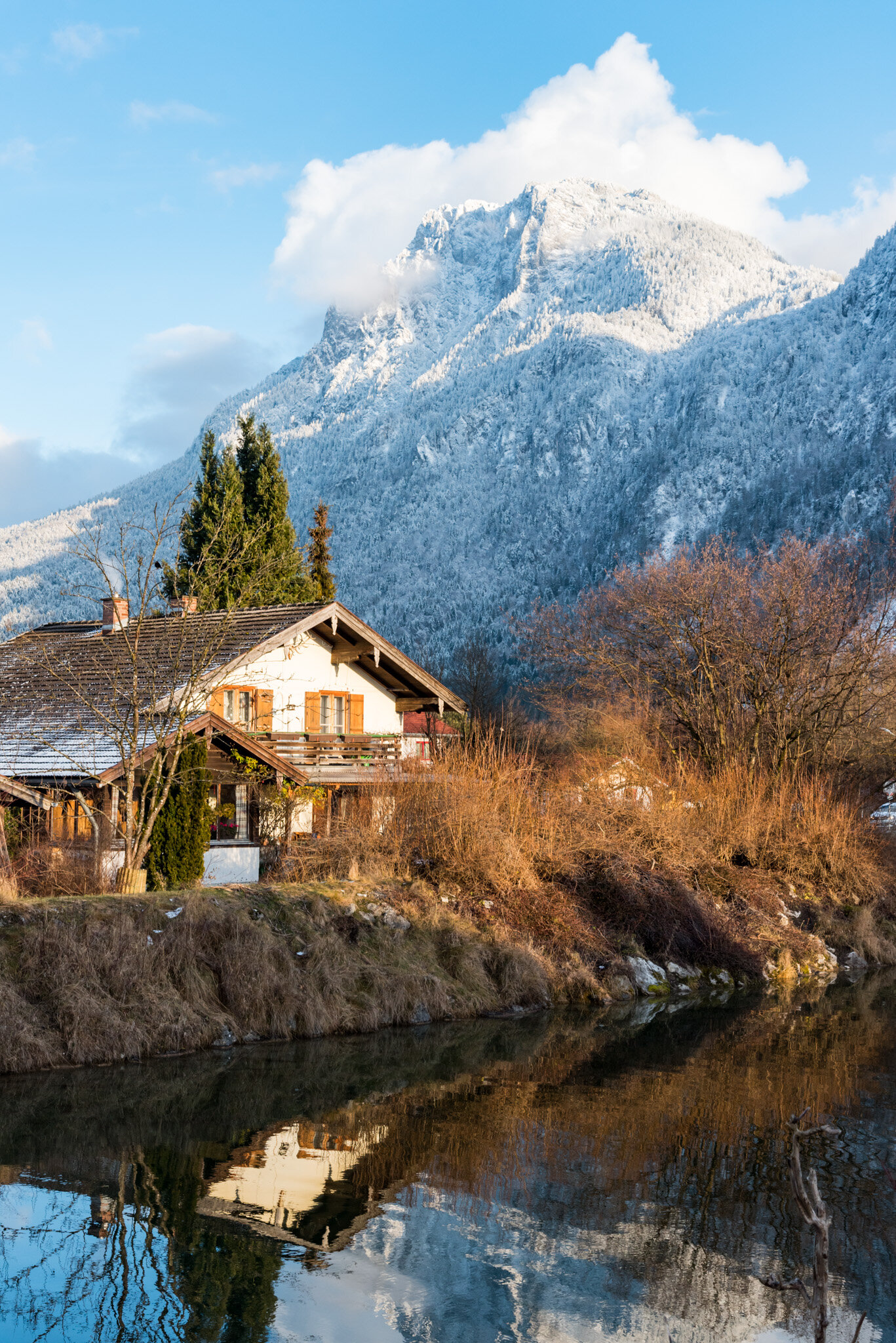
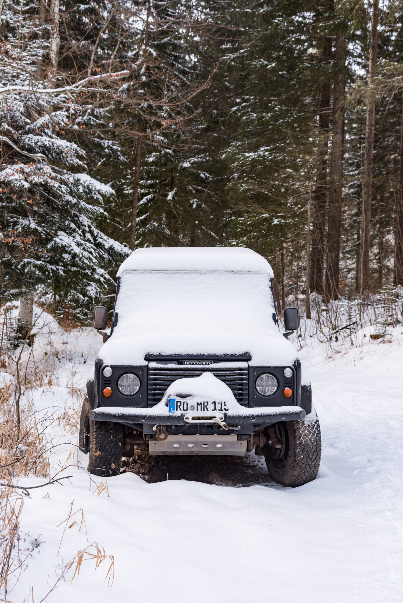
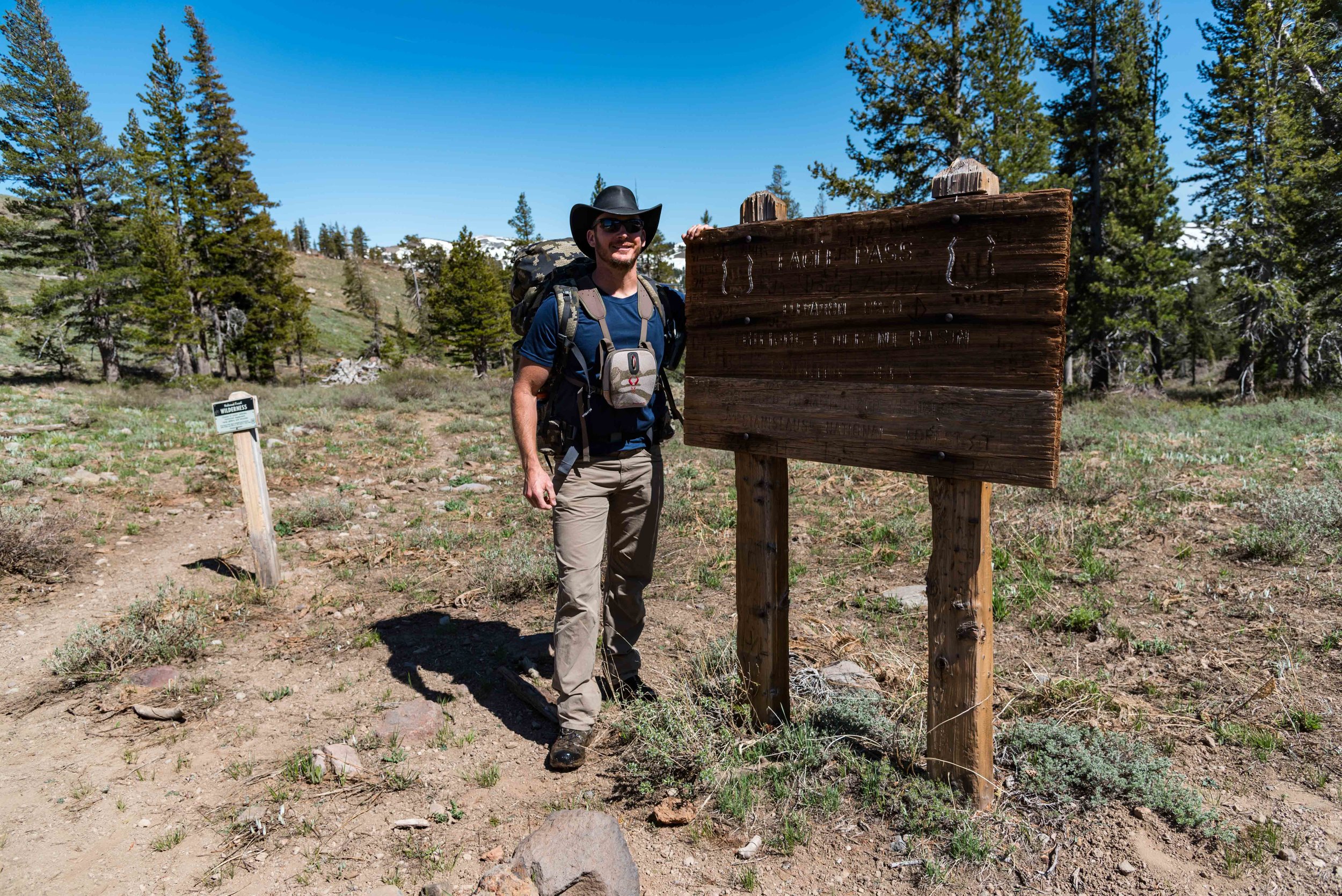
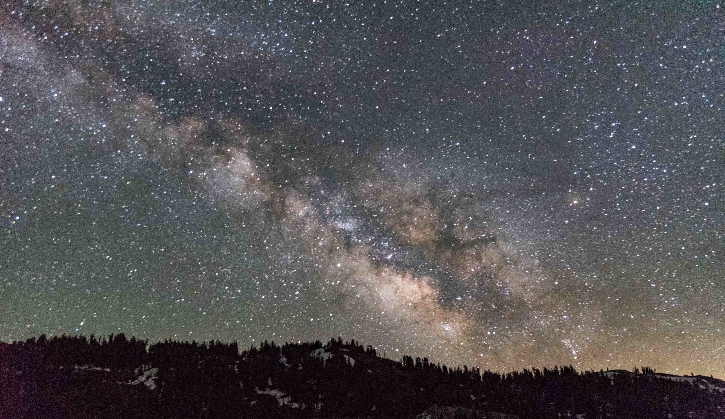
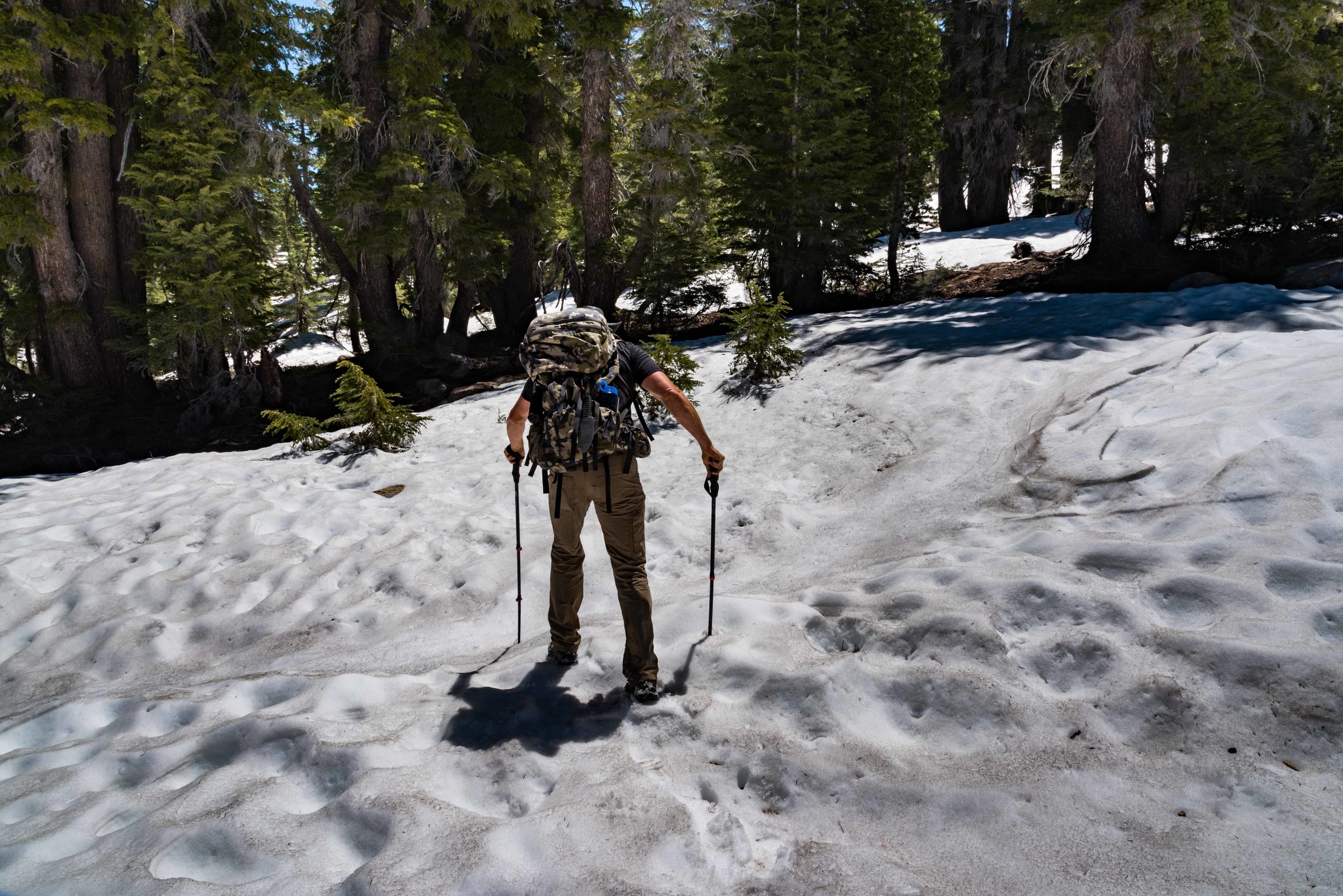
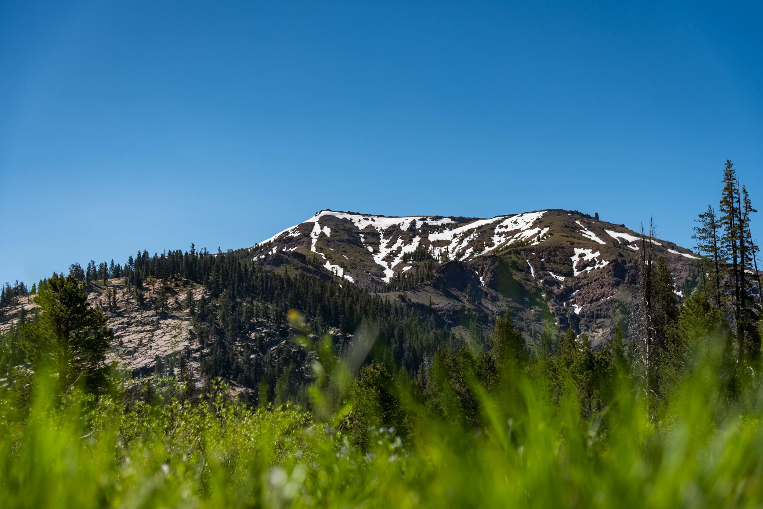
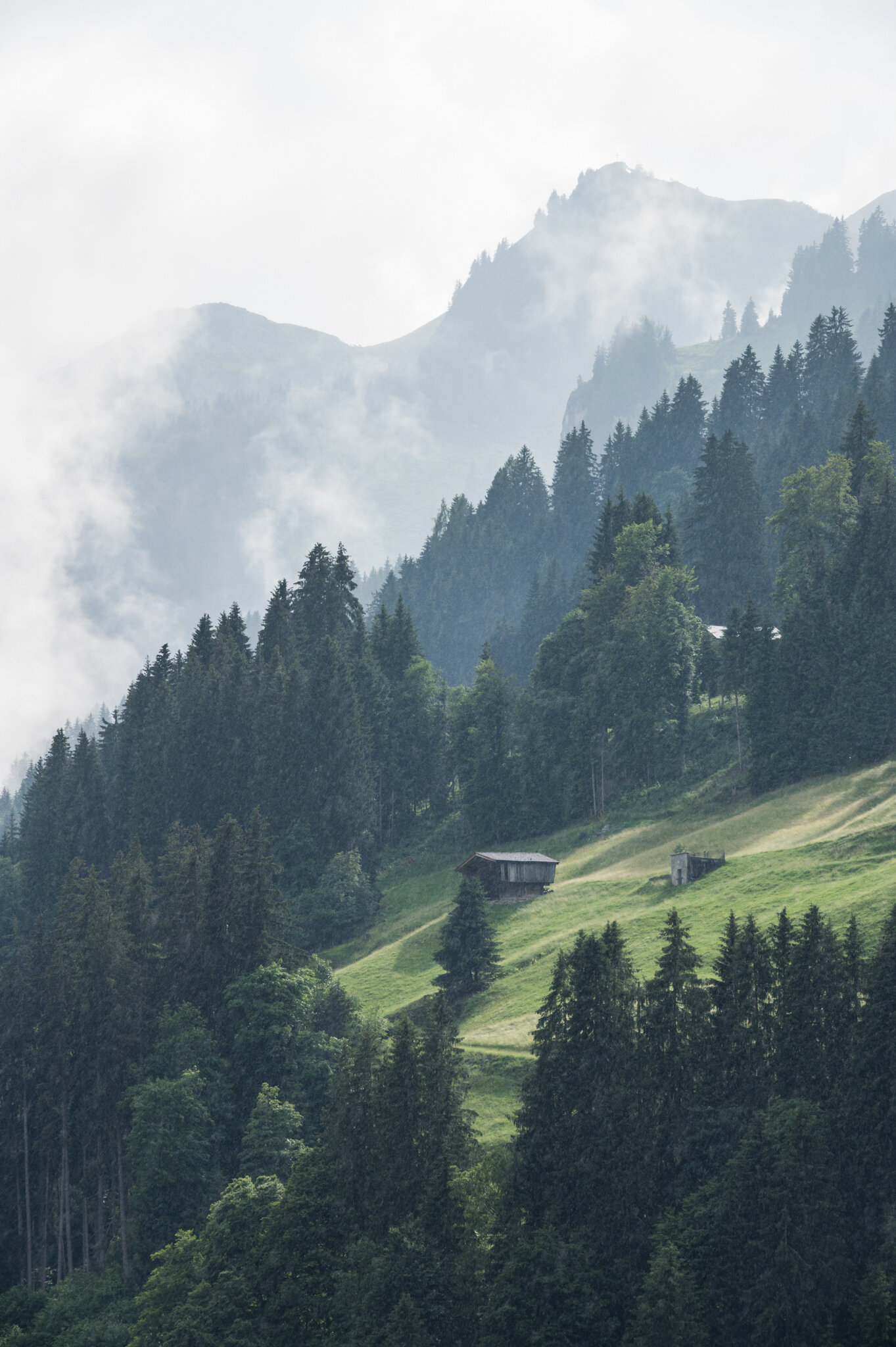
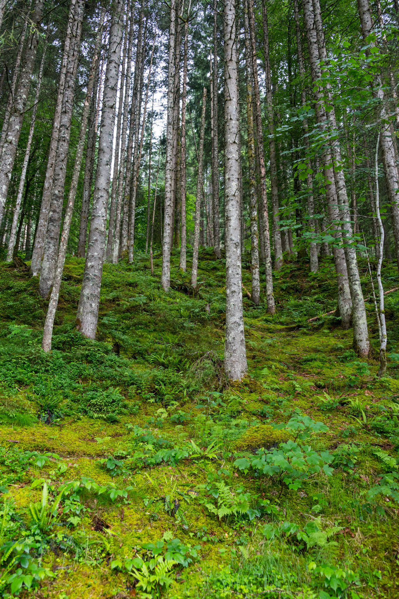
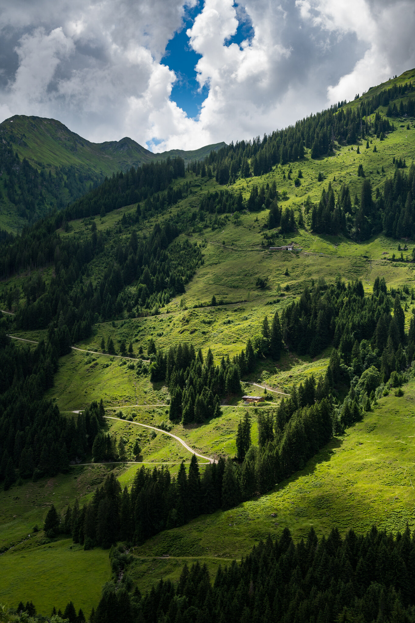
After a year of restrictions limiting travel from the United States to Germany were lifted, my parents were finally able to make the trip across the pond to visit my sister and me. We settled on a secluded valley in the heart of the Tyrolean Alps as the perfect place to get away from it all and enjoy some rest and relaxation — and roughly 40 kilometers of alpine hiking to “boot.” We all enjoyed amazing weather, way too much food, and plenty of family time. And we only had to endure a few Zoom calls inside when we weren’t having fun.

Check out my collection of photos from four days in the alps below!

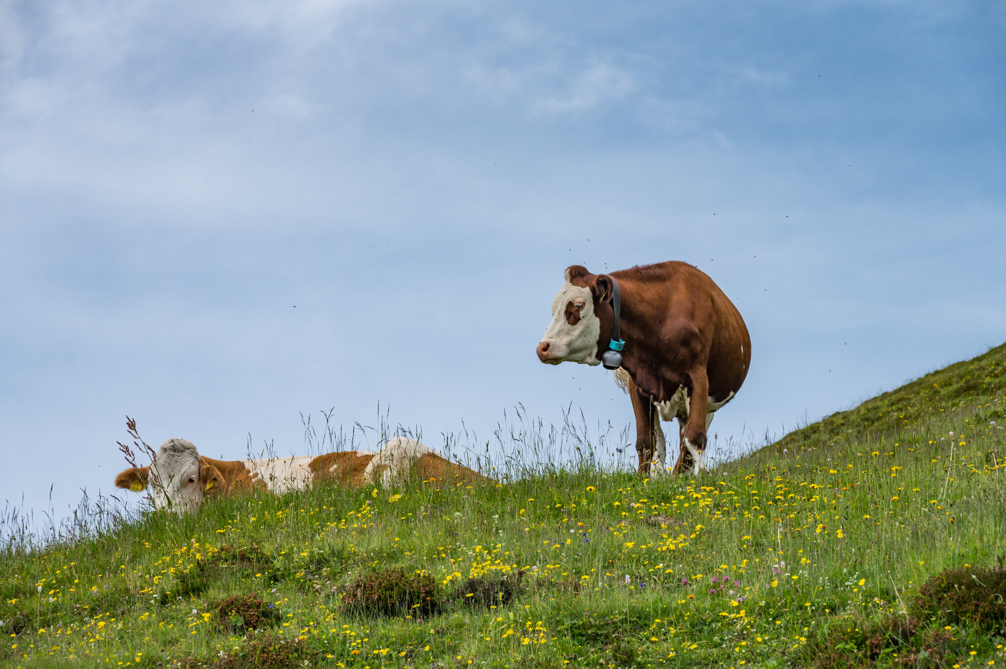
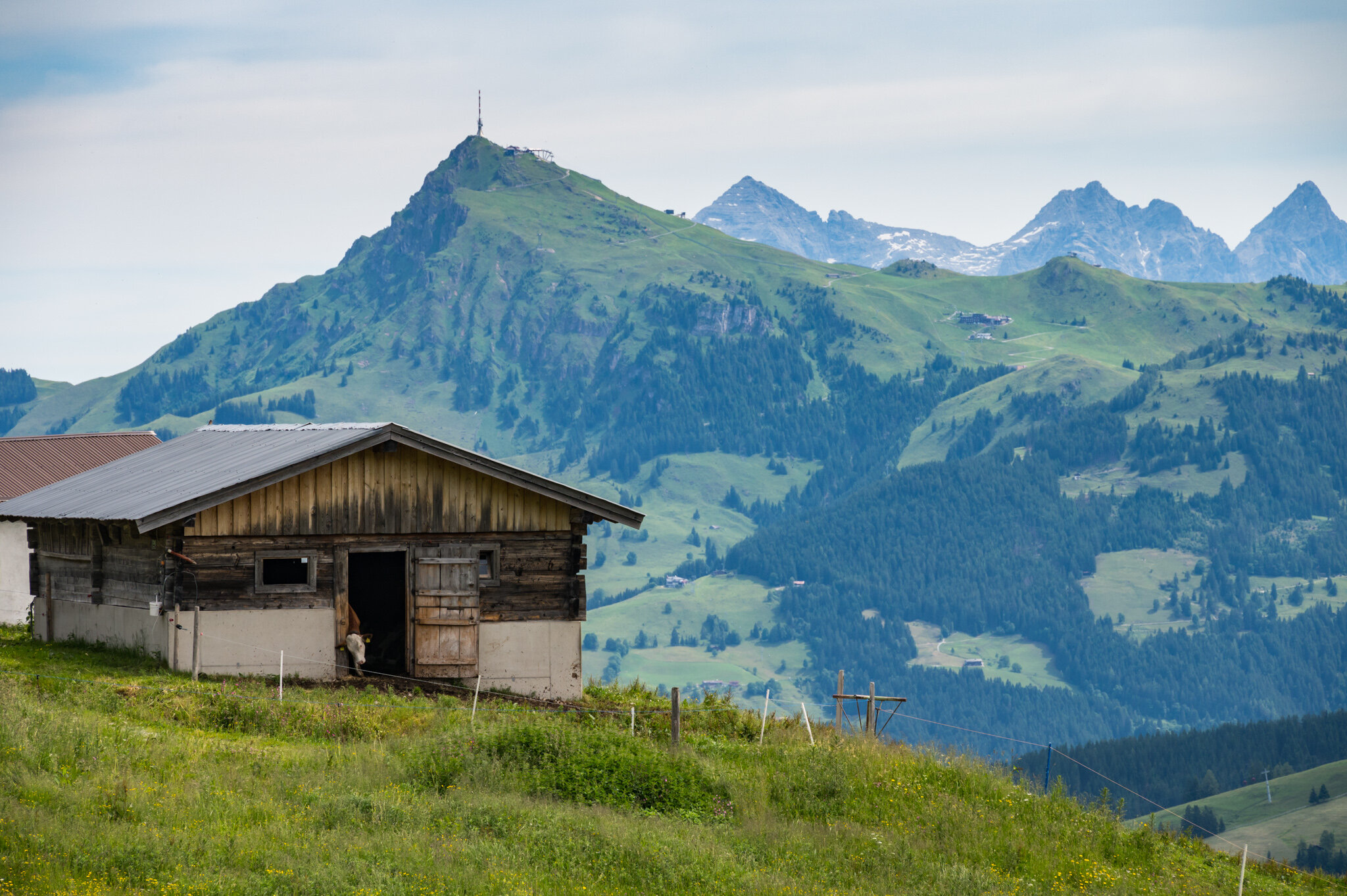
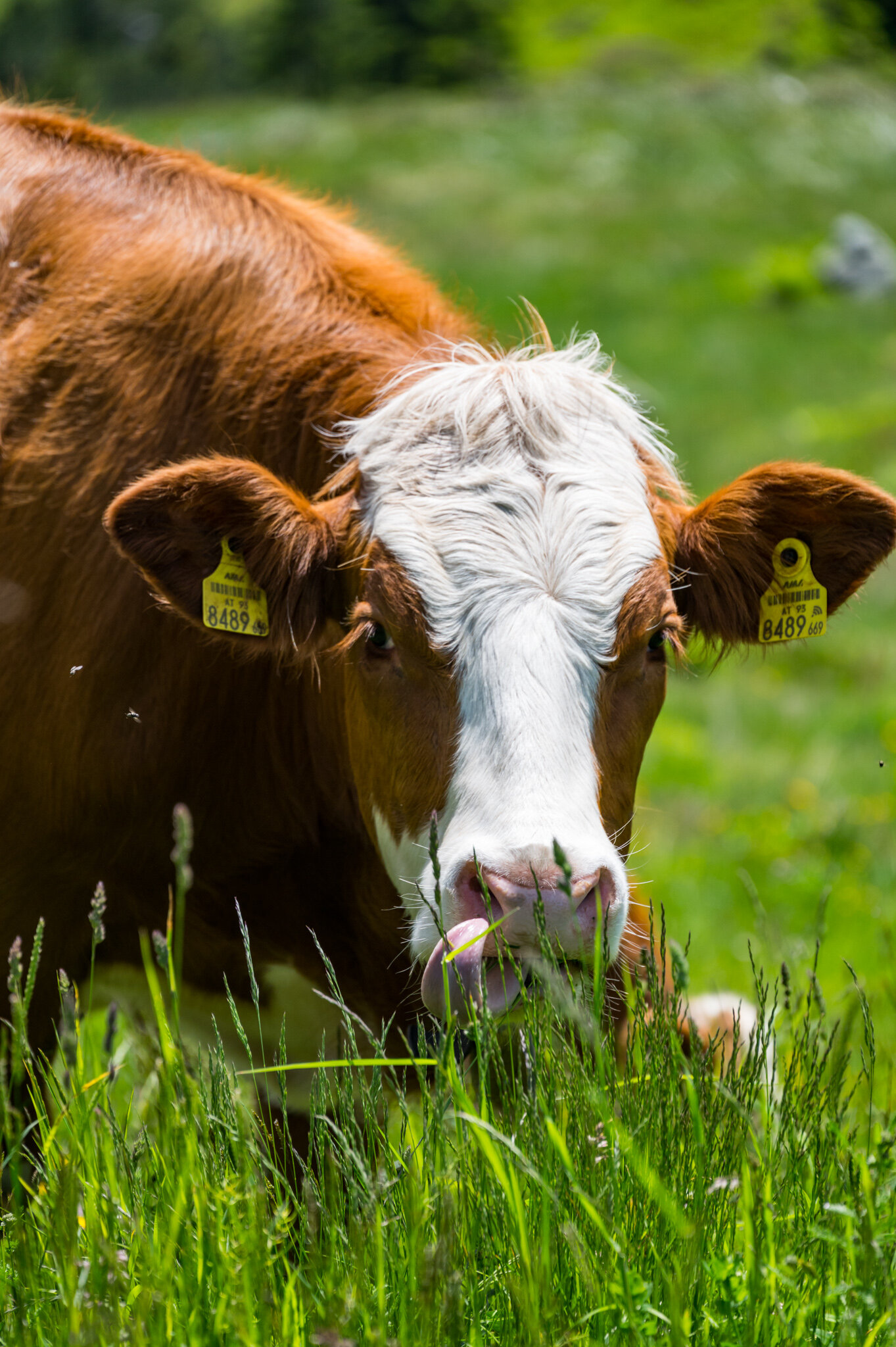
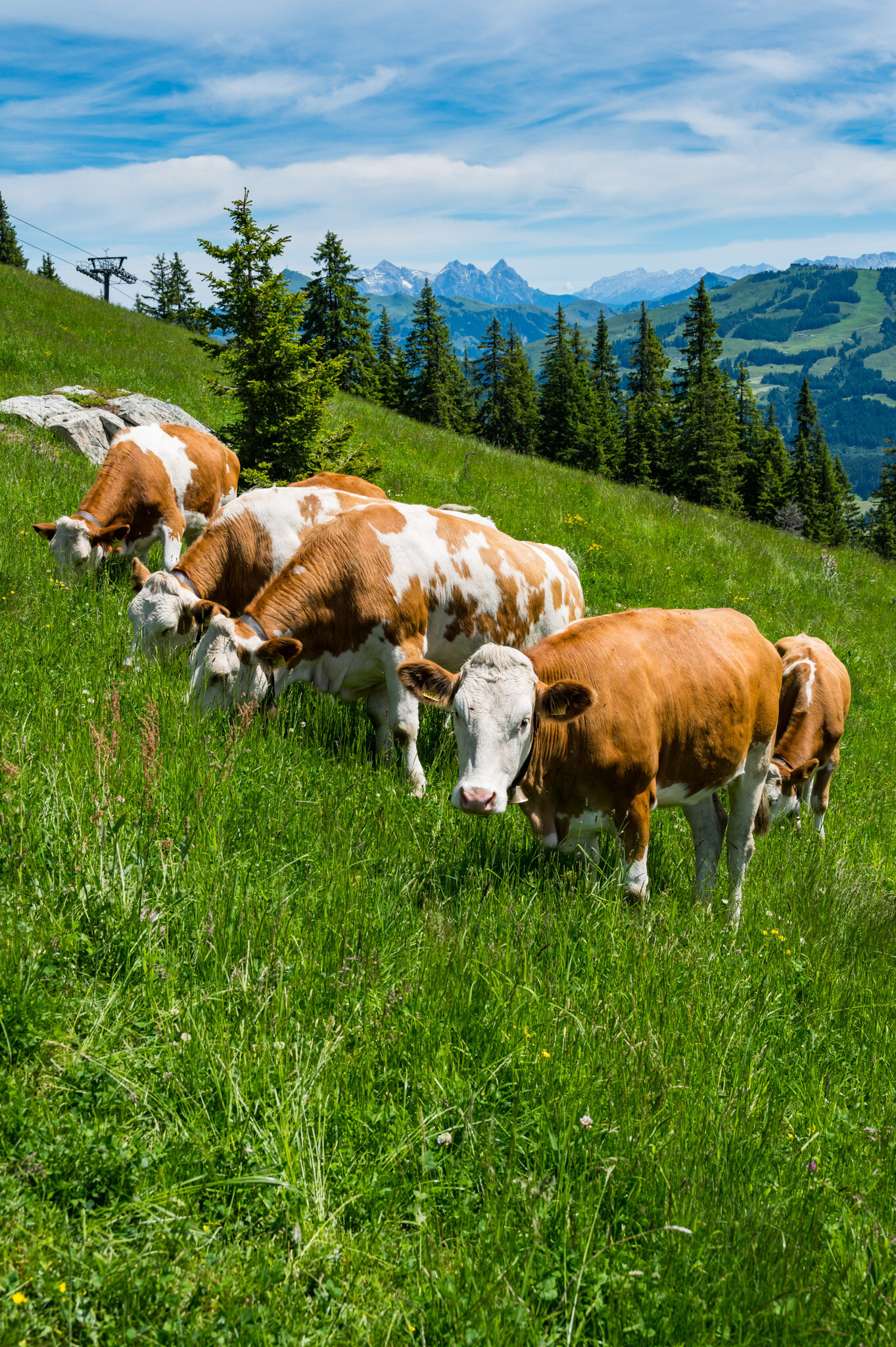
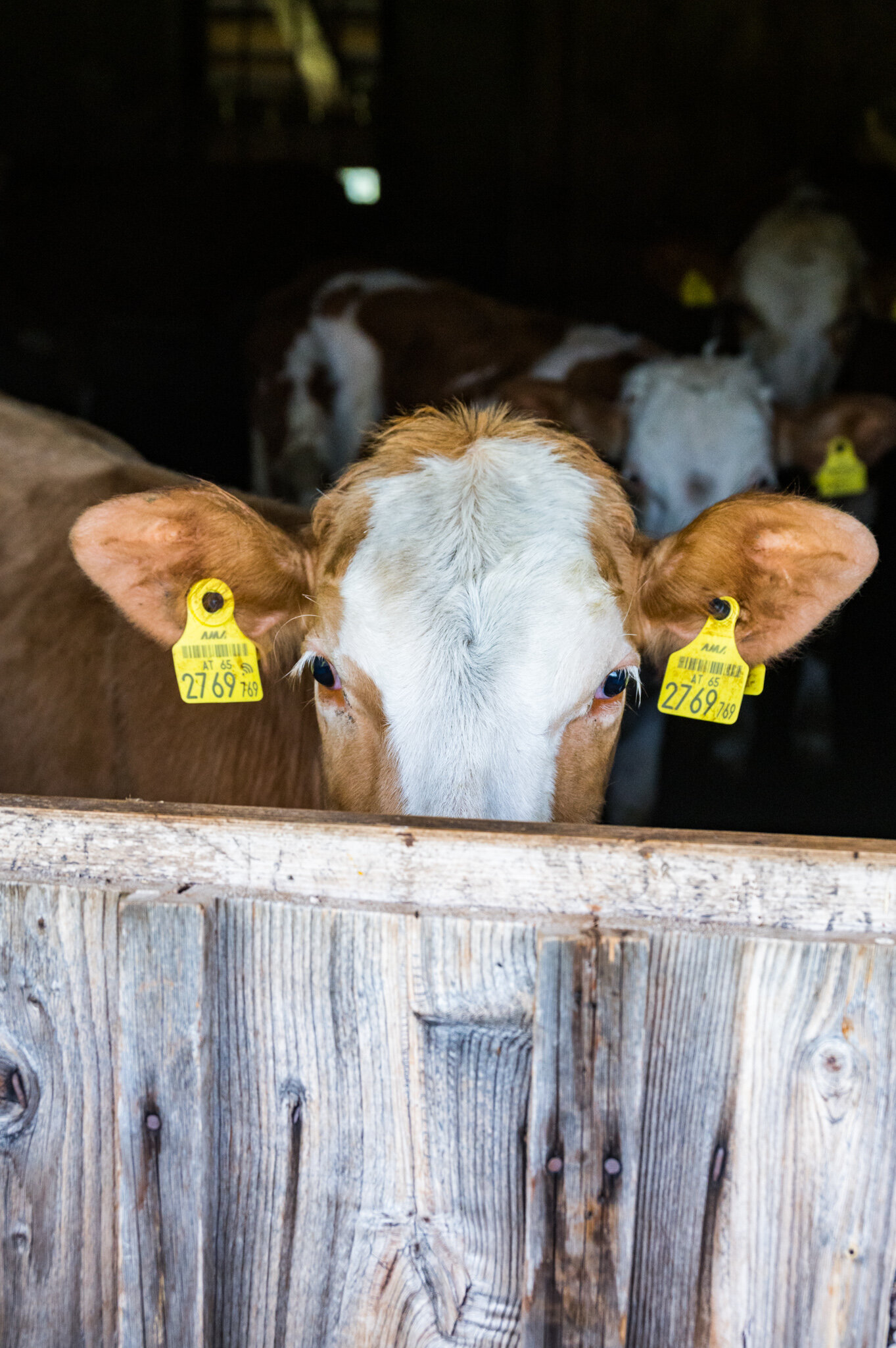
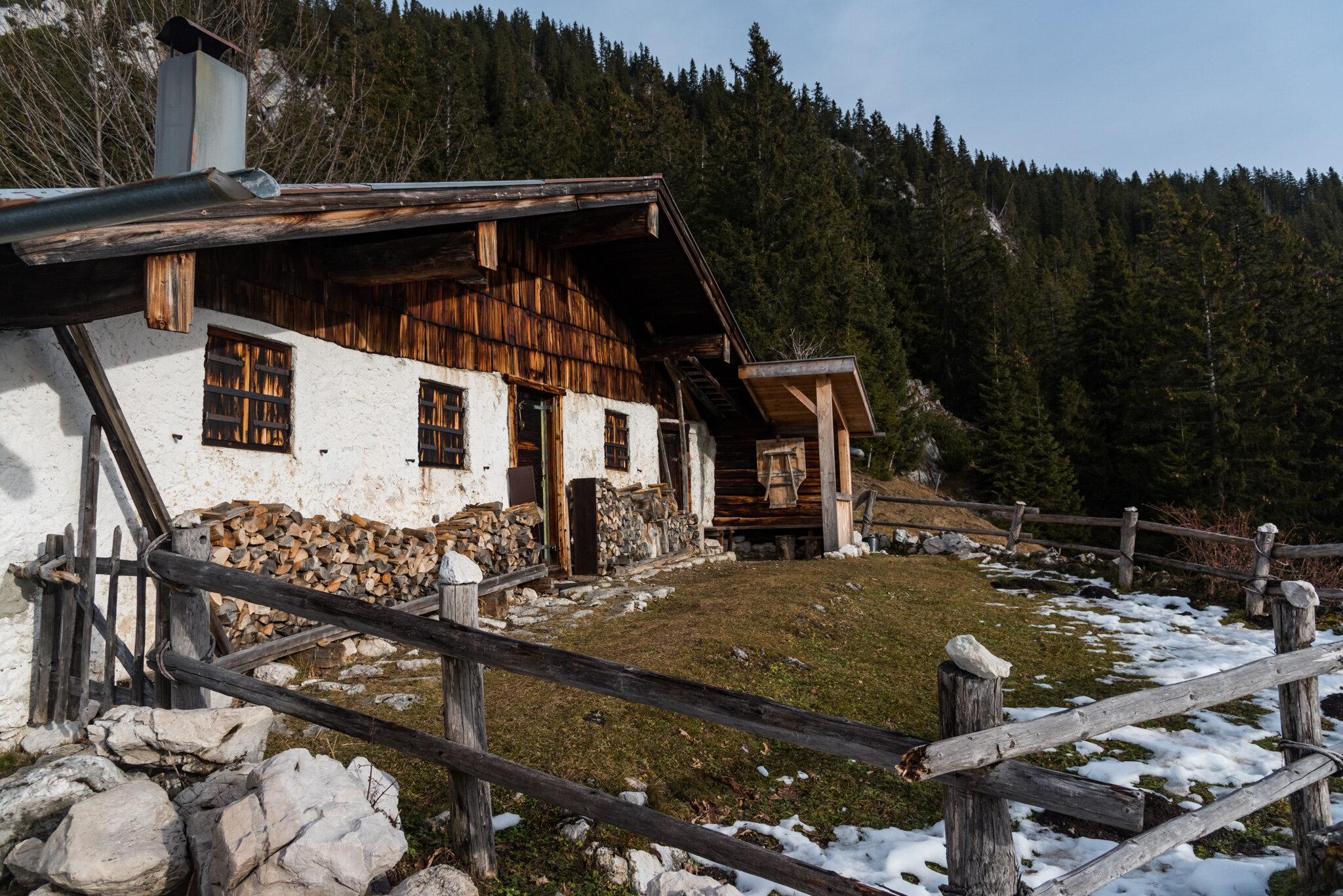
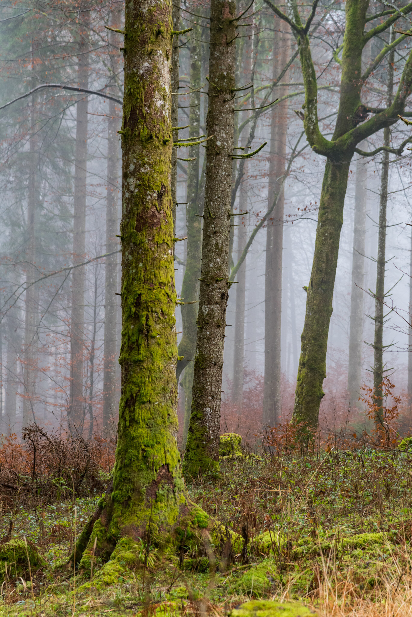
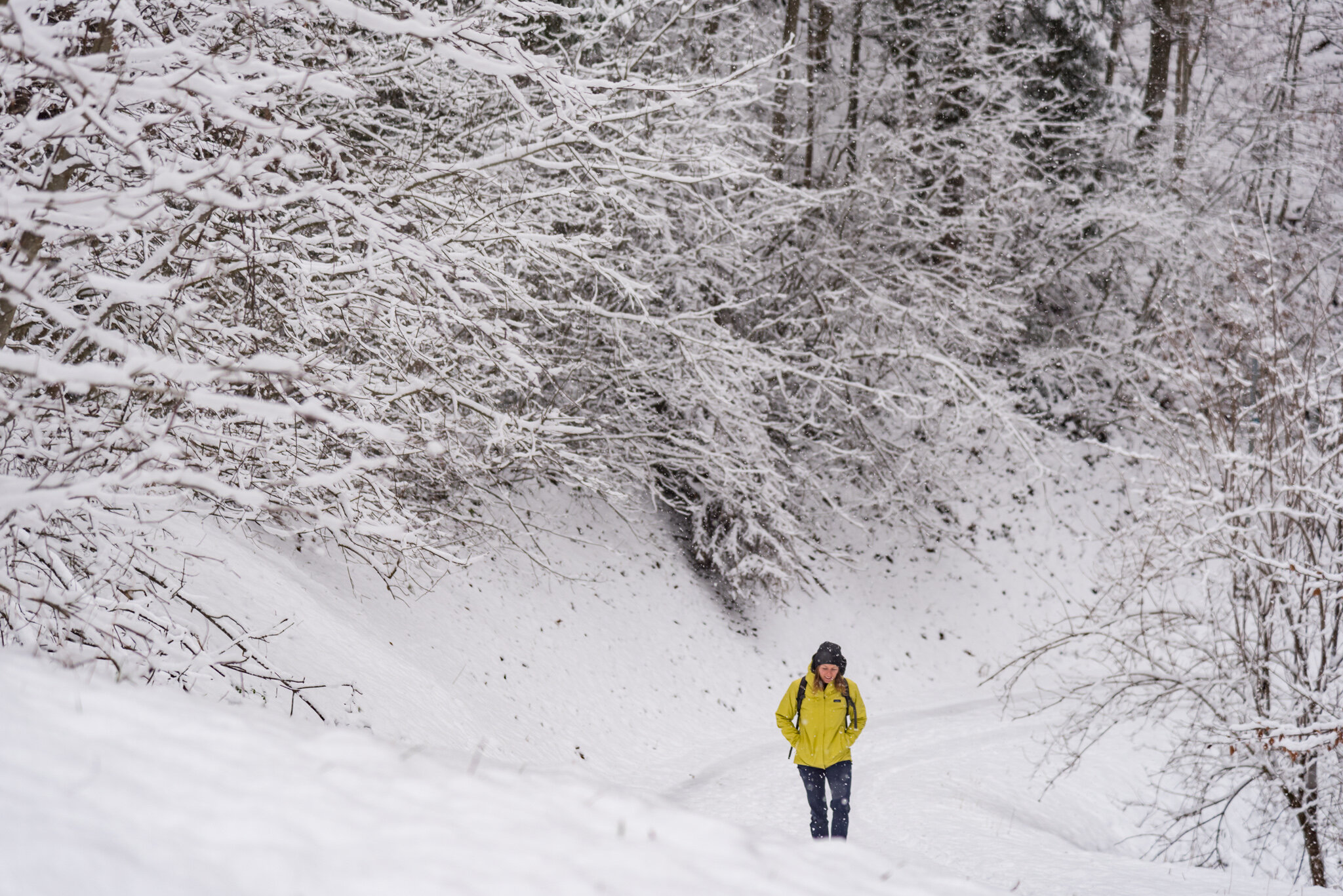
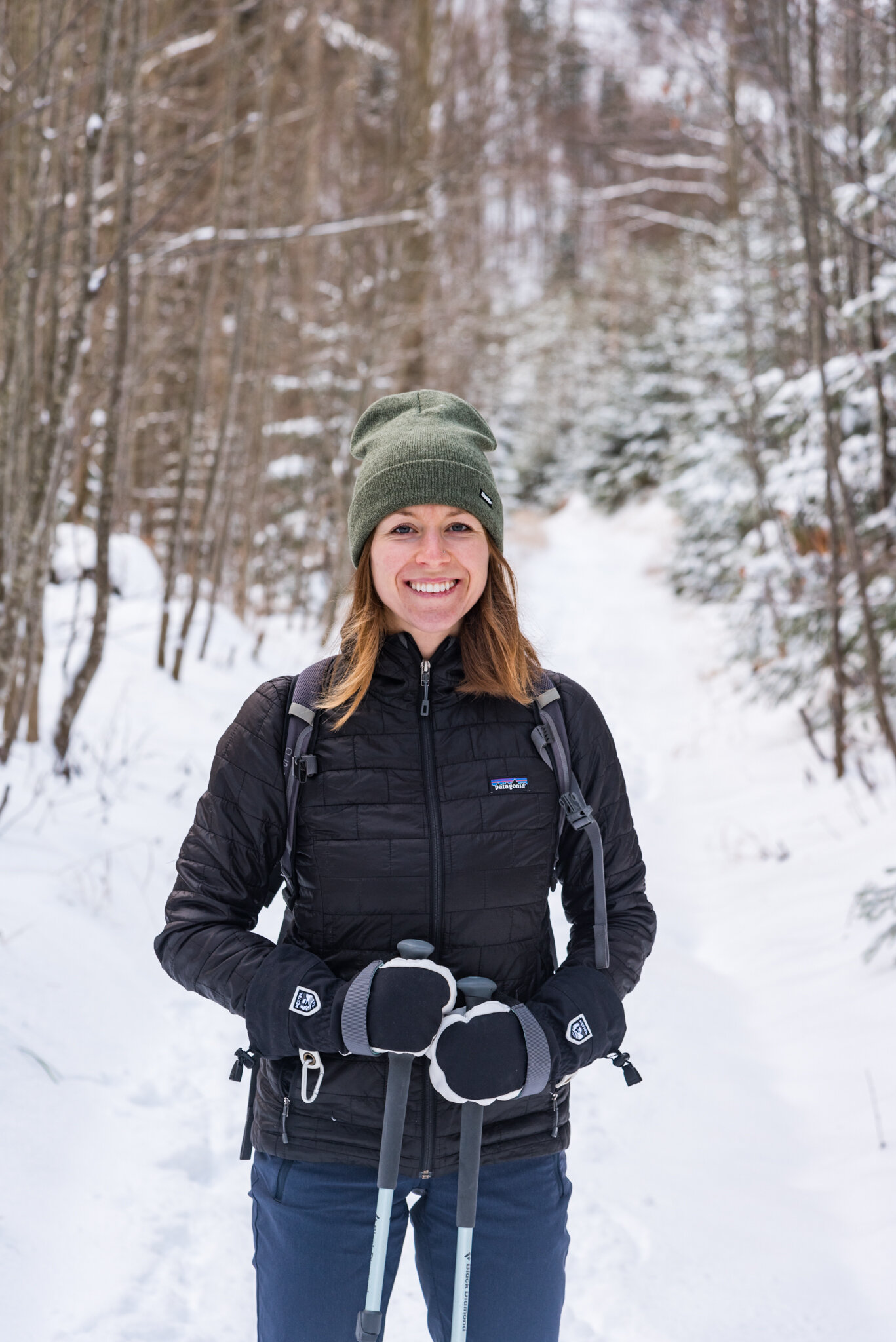
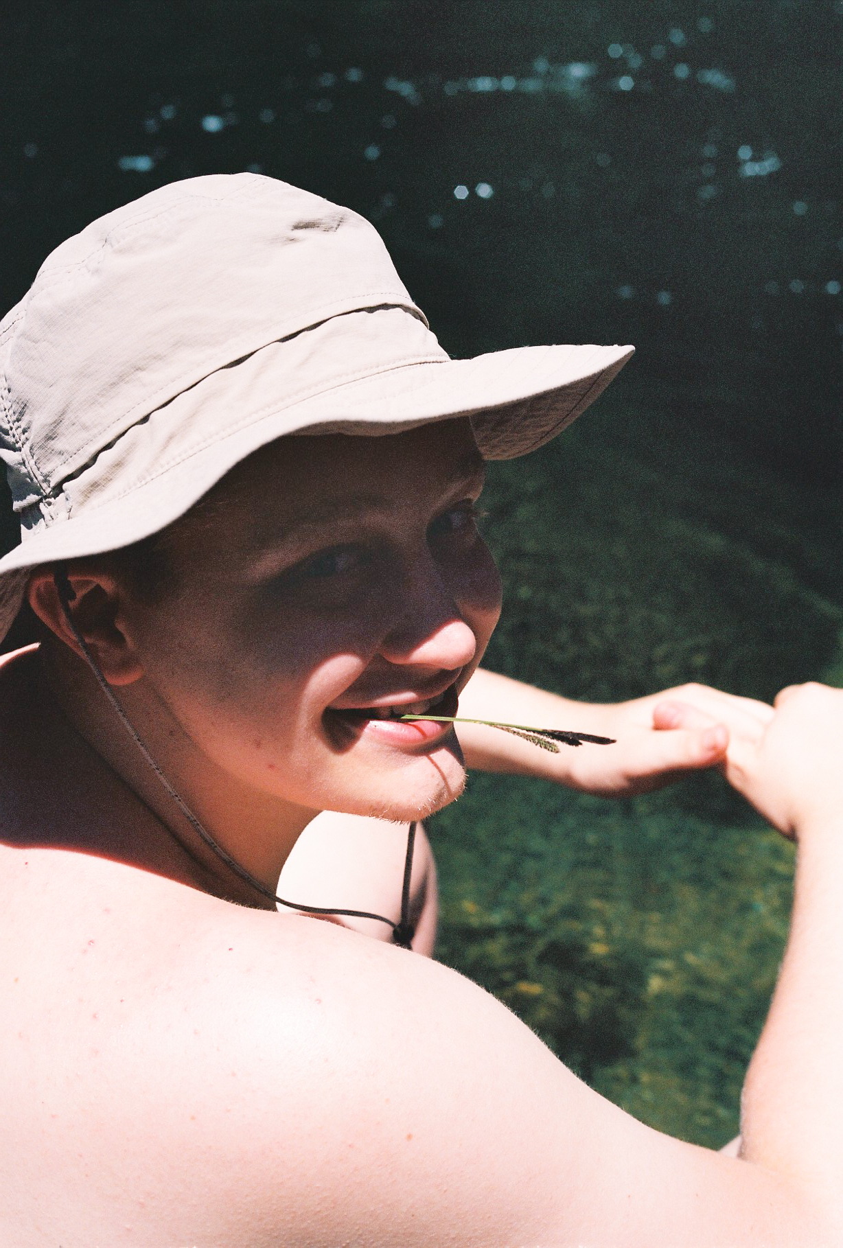
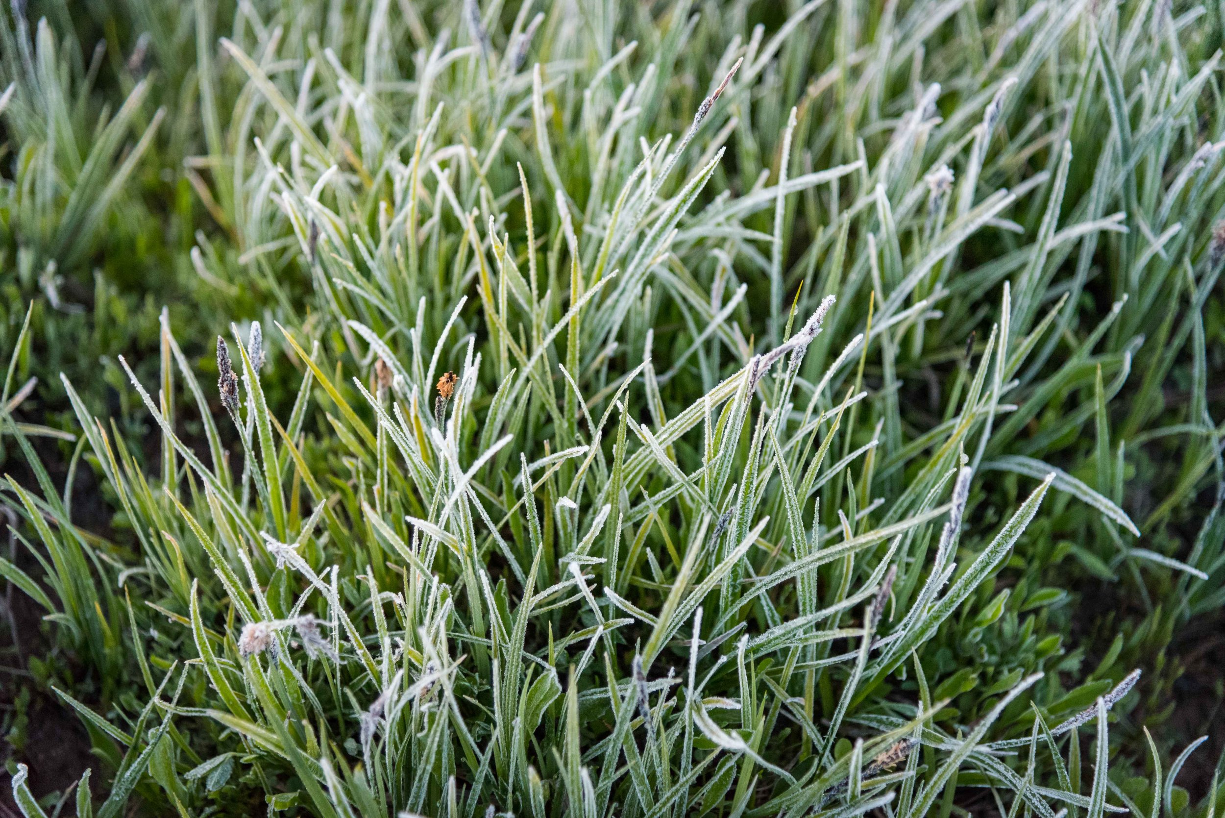
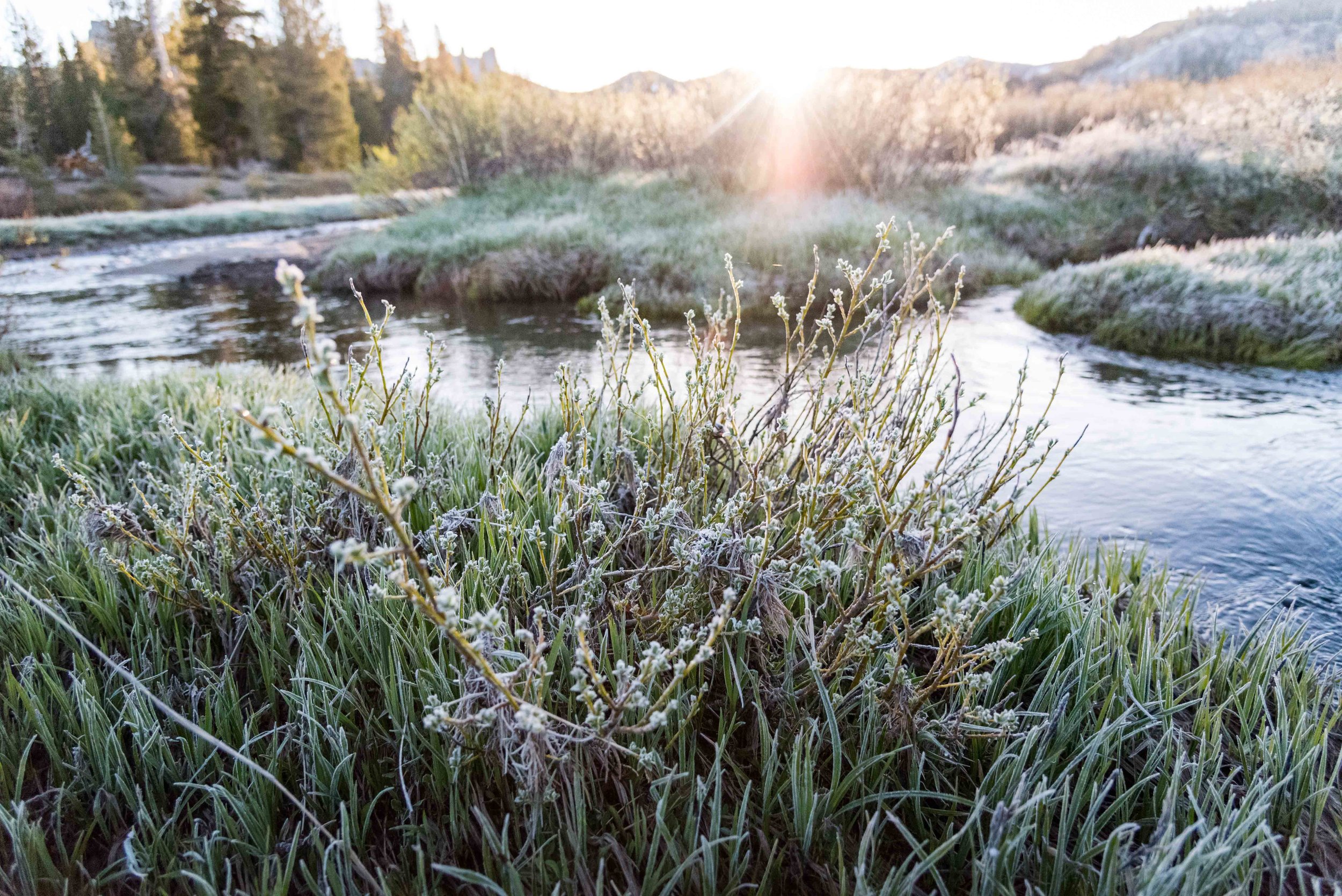
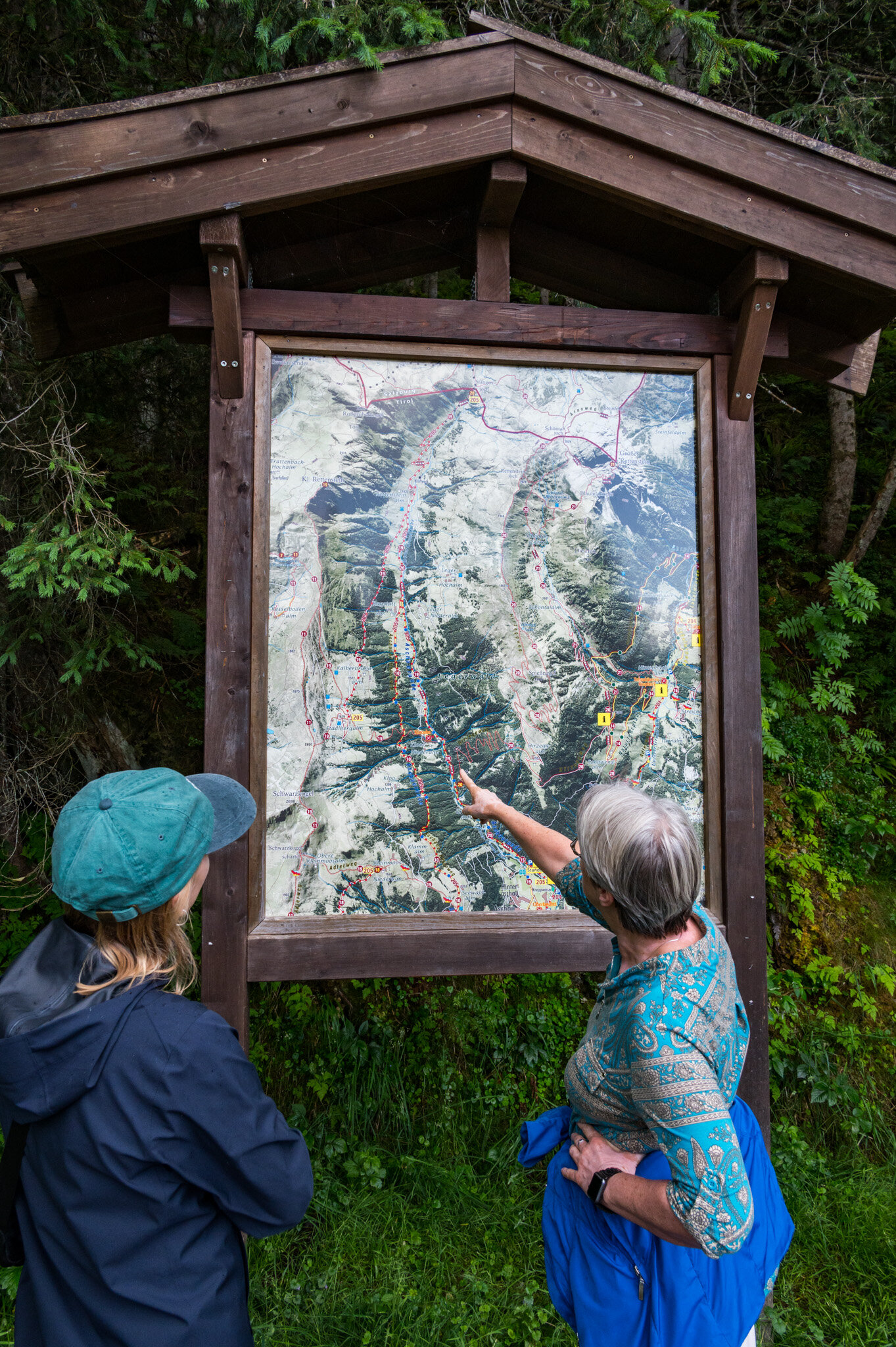
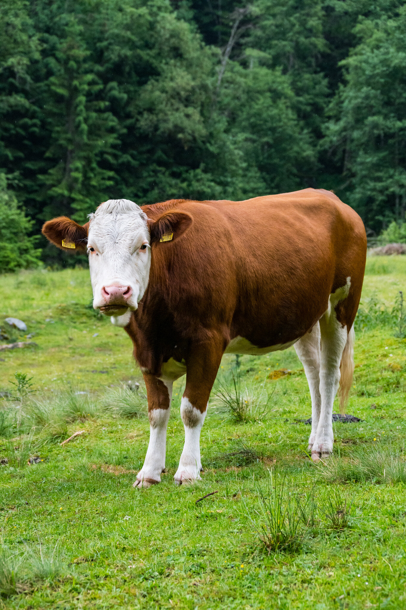
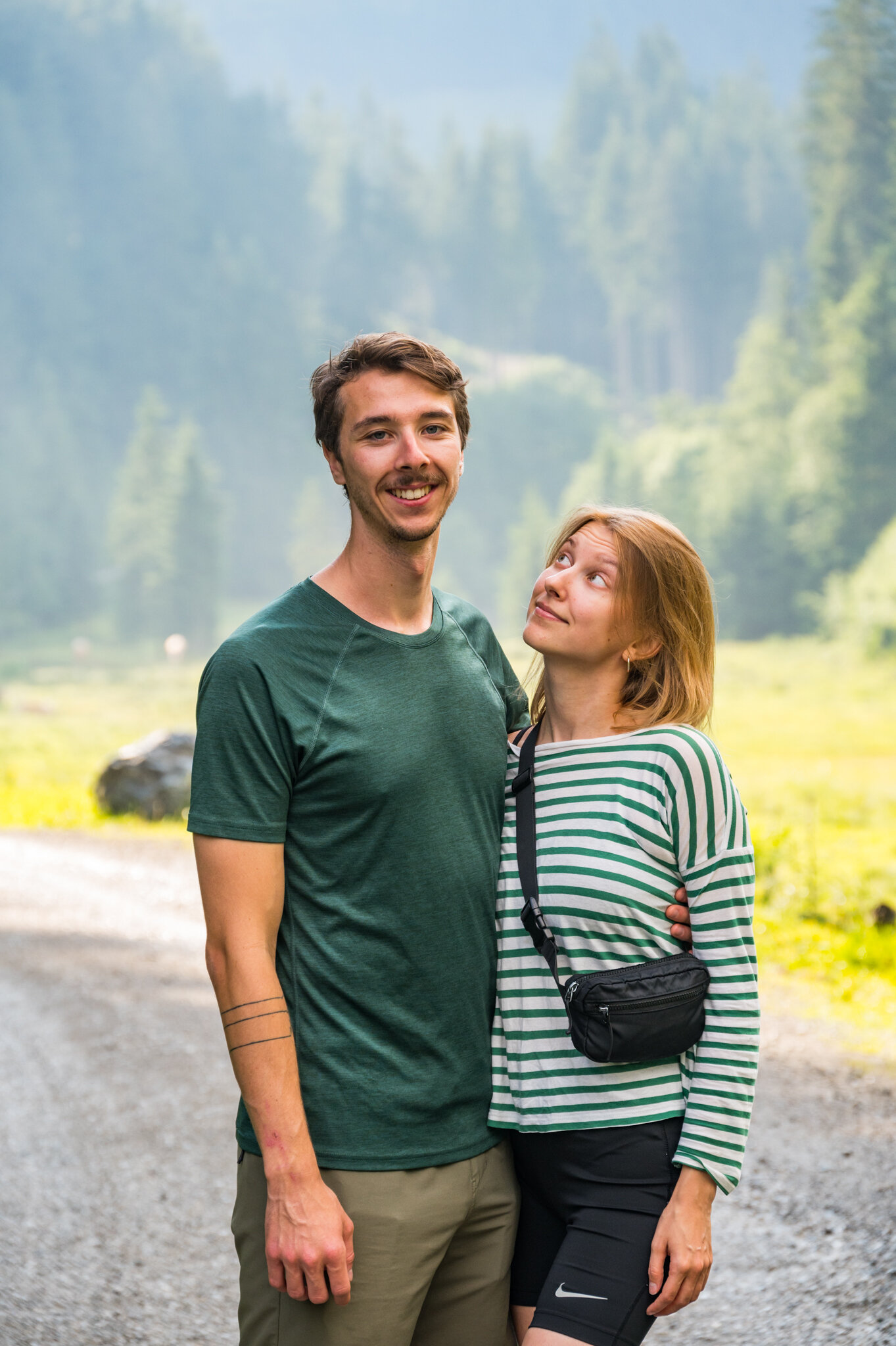
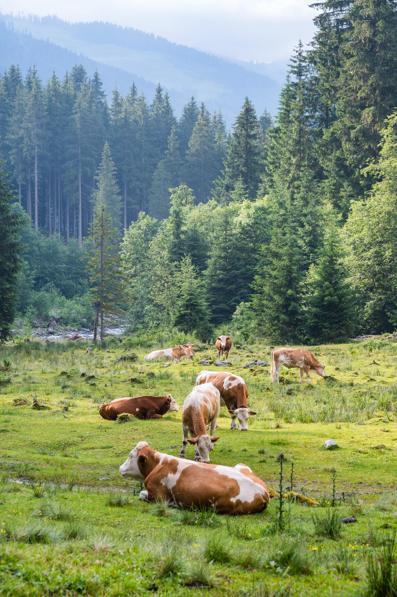
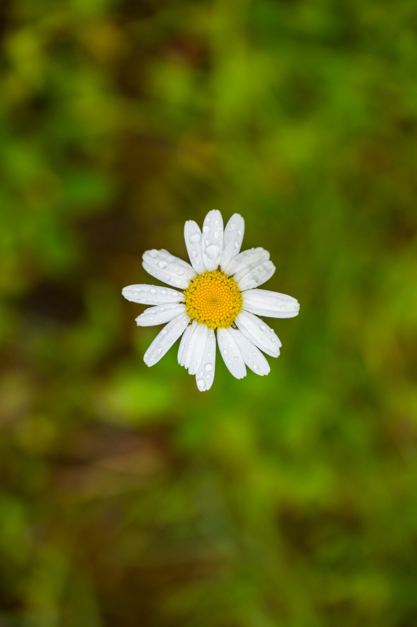
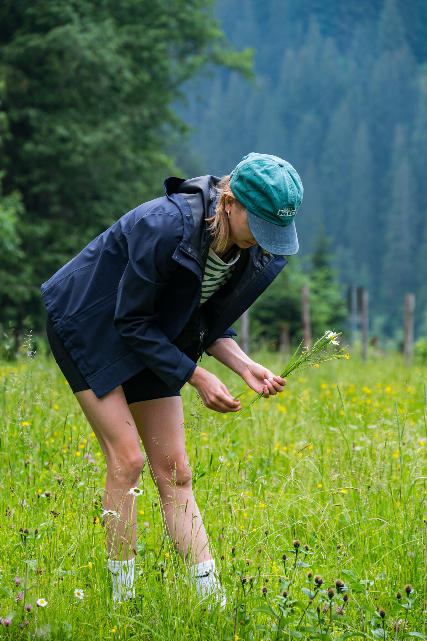
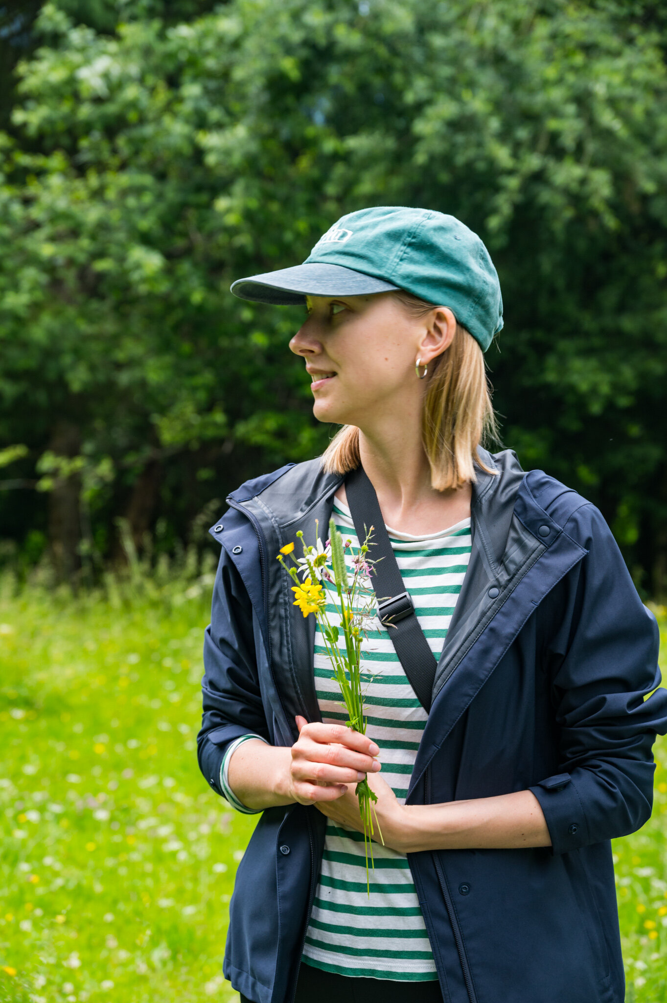
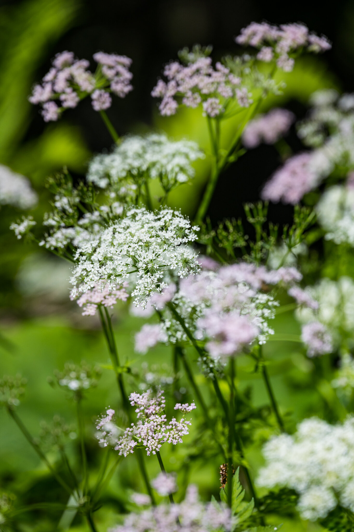
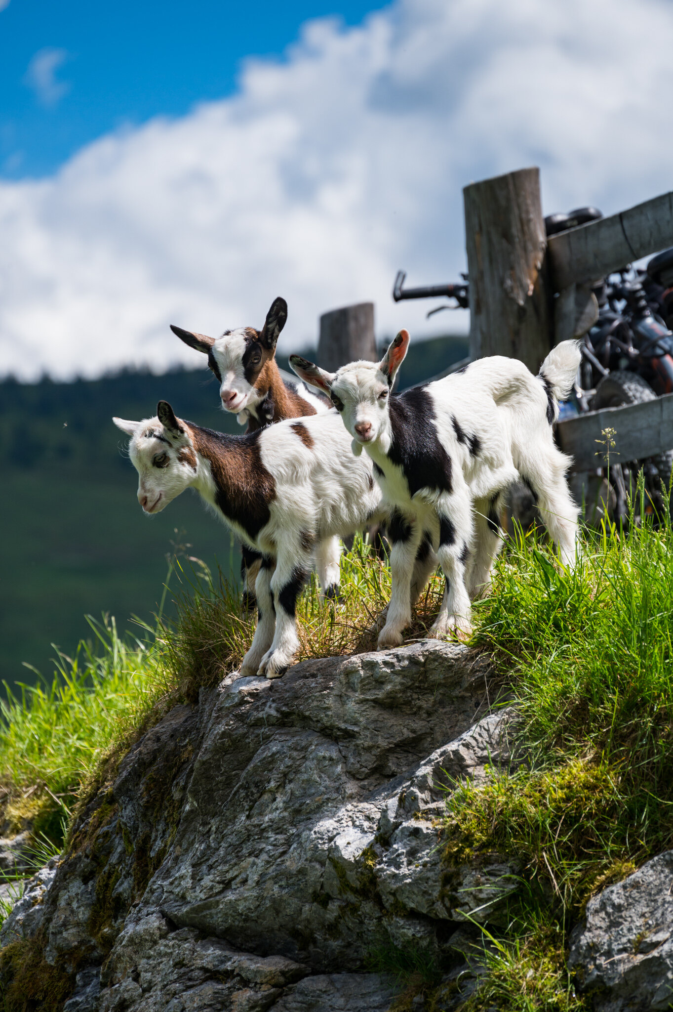
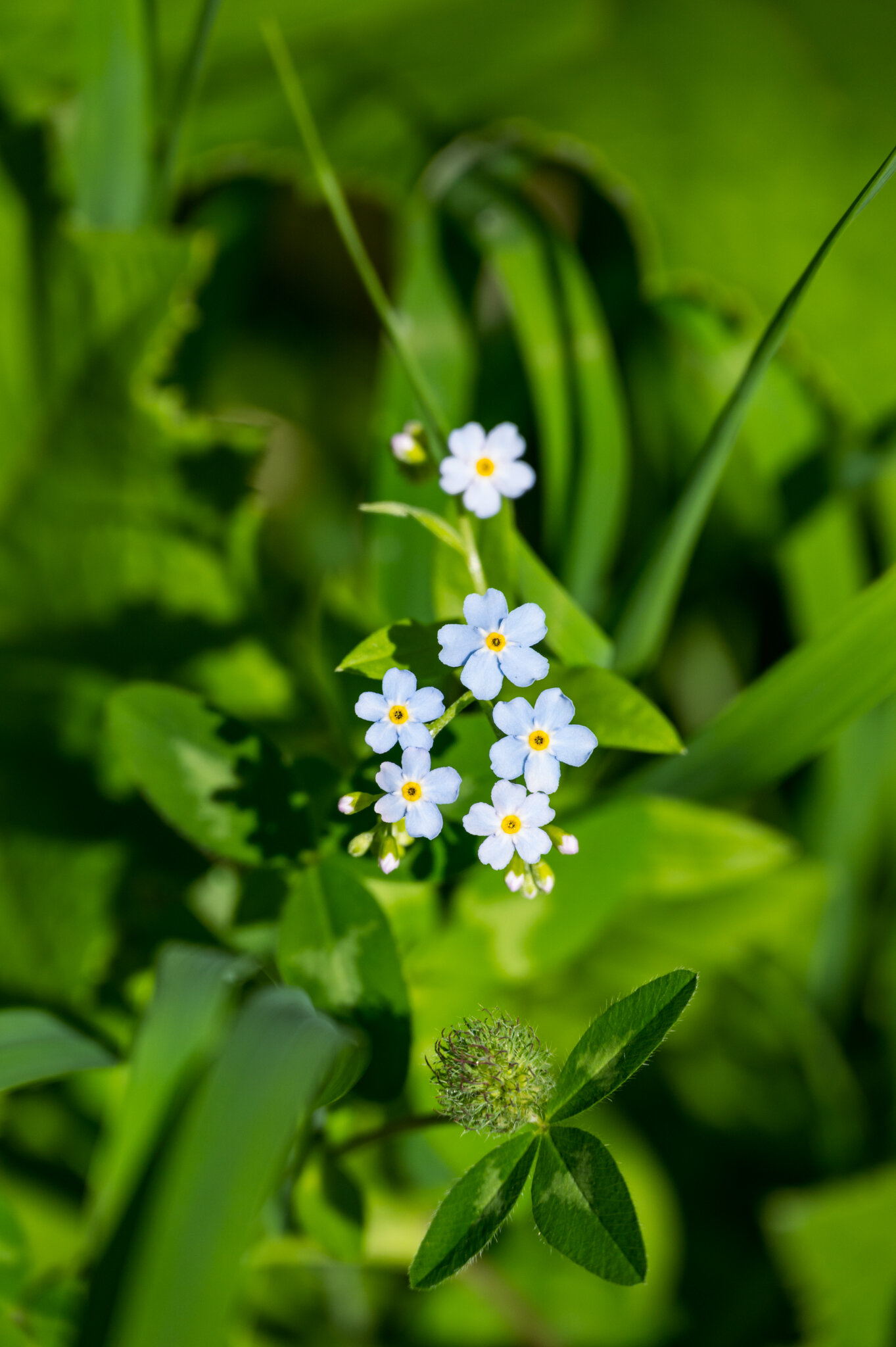
After finishing up our daily work three of us — Lena, my mom, and me — bundled up in case of continuing rain and went out in search of something more interesting than what we'd seen on our computer screens. We found cows and wildflowers in droves during our brief walk and were even more excited about the weekend hikes to come.

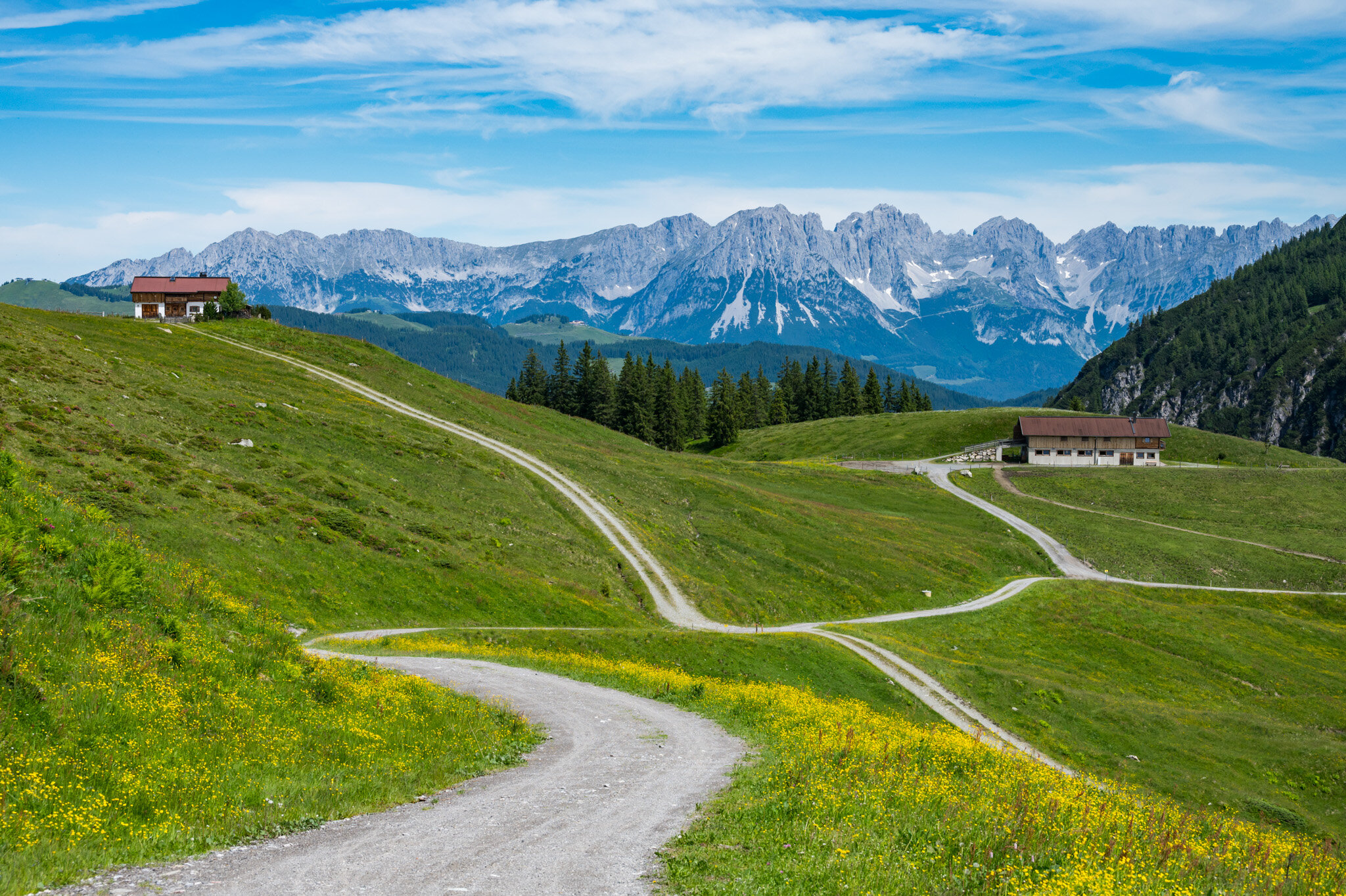
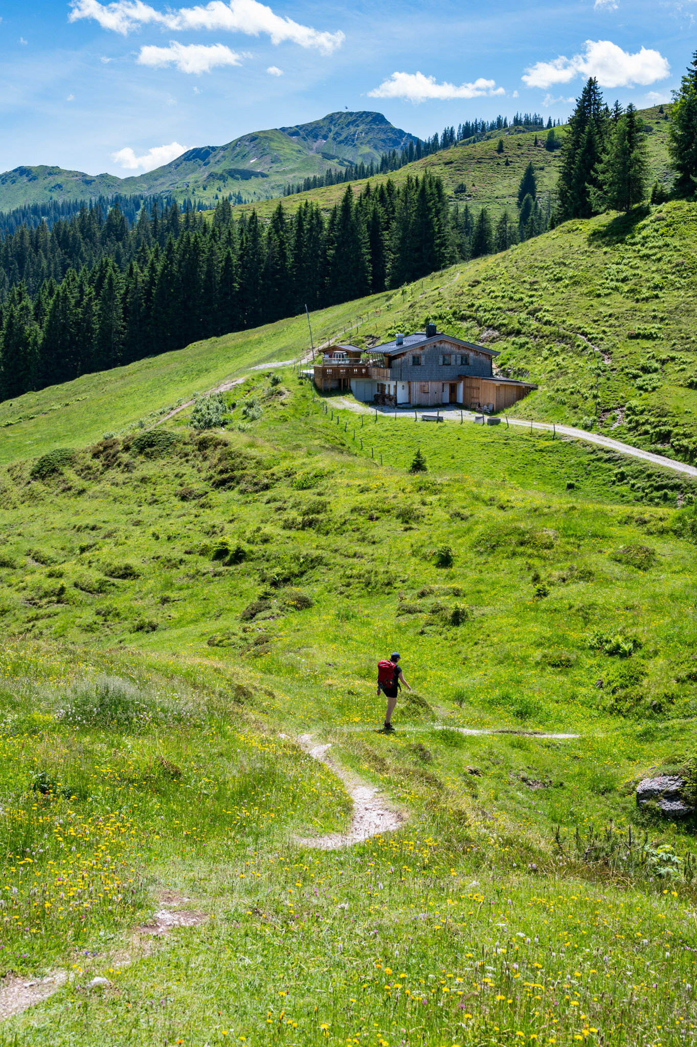
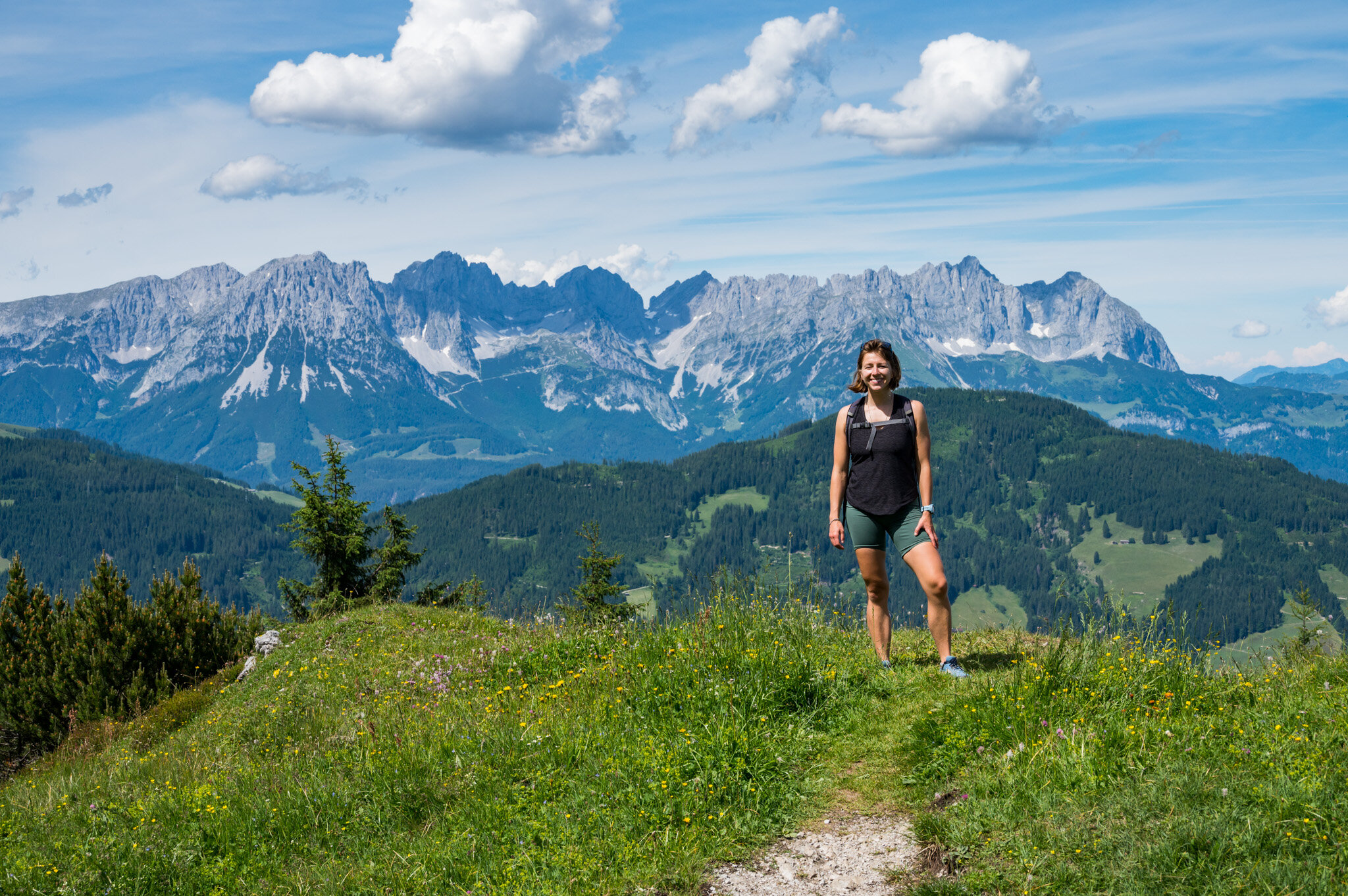
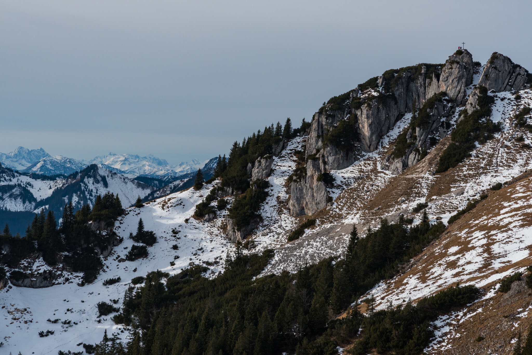
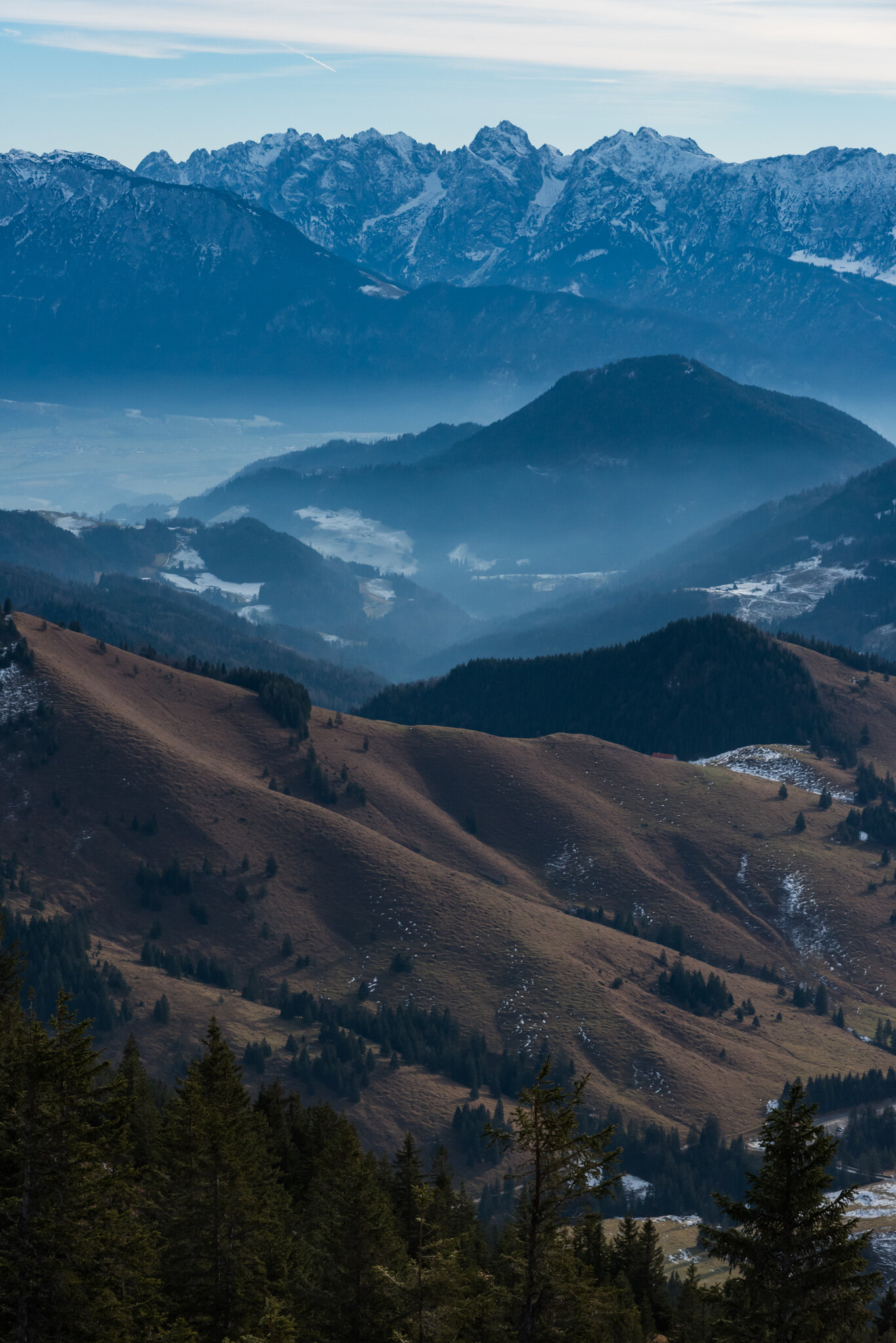
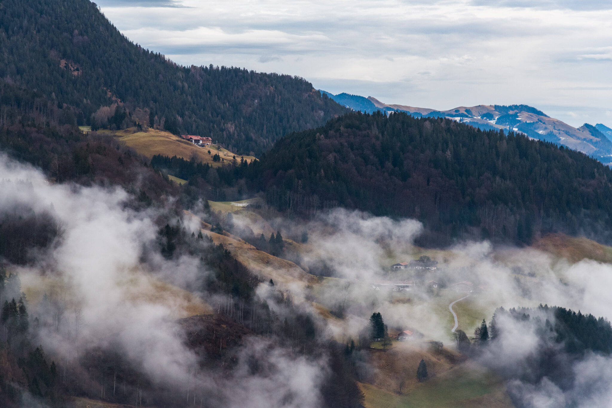
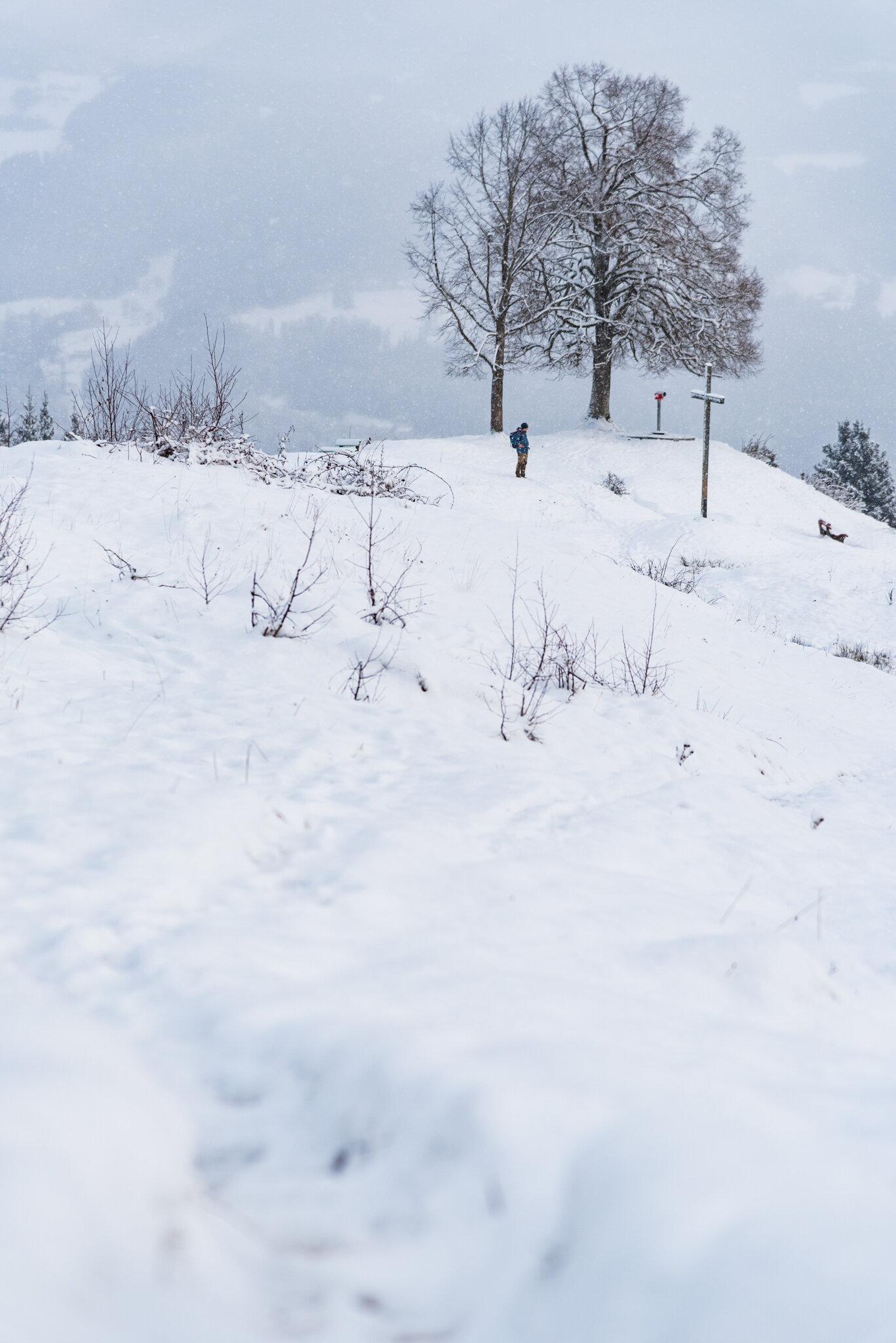
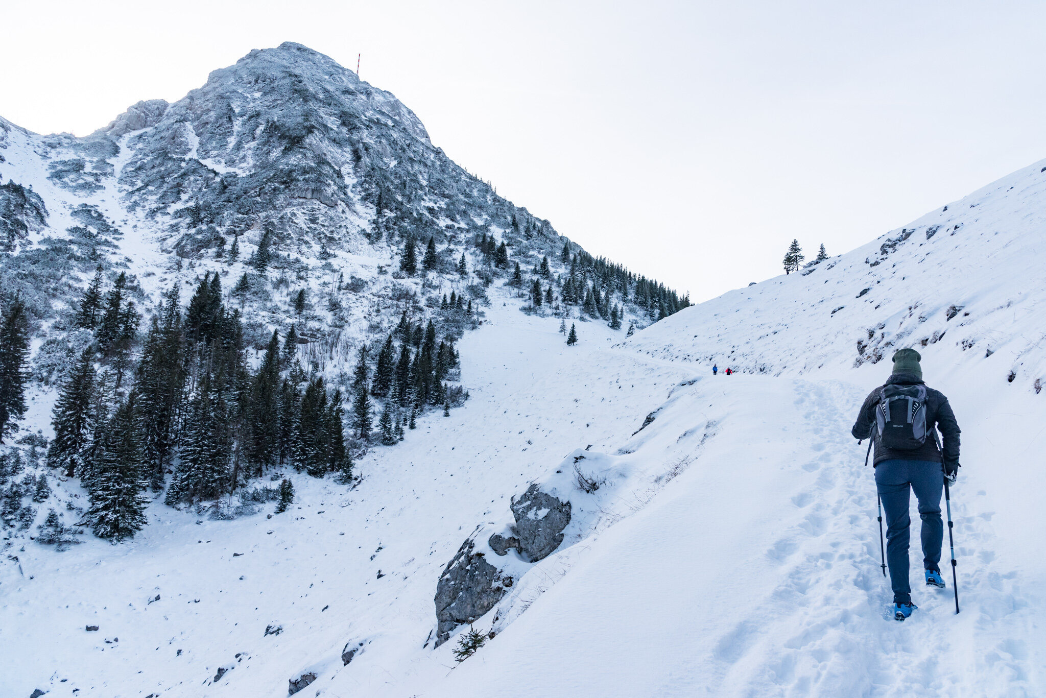
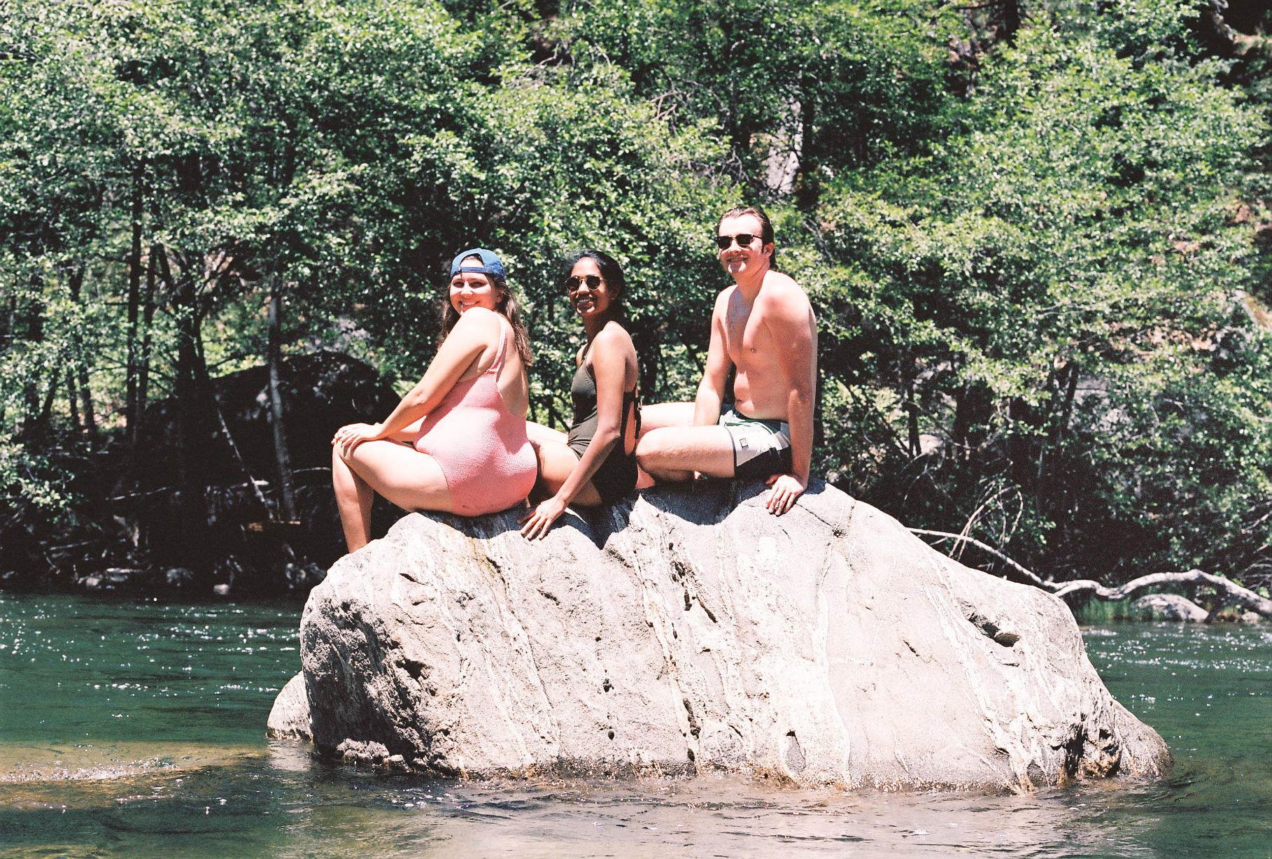
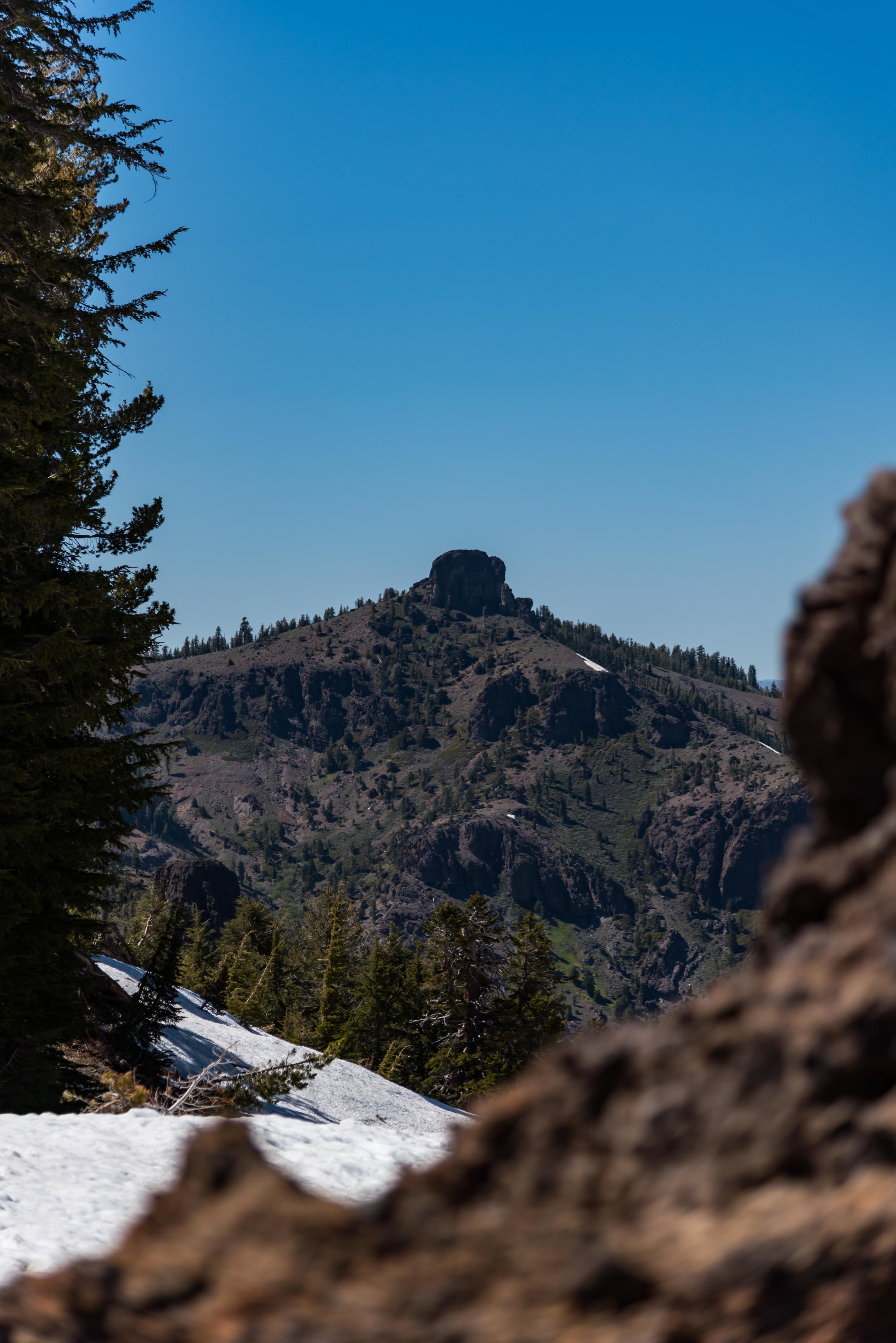
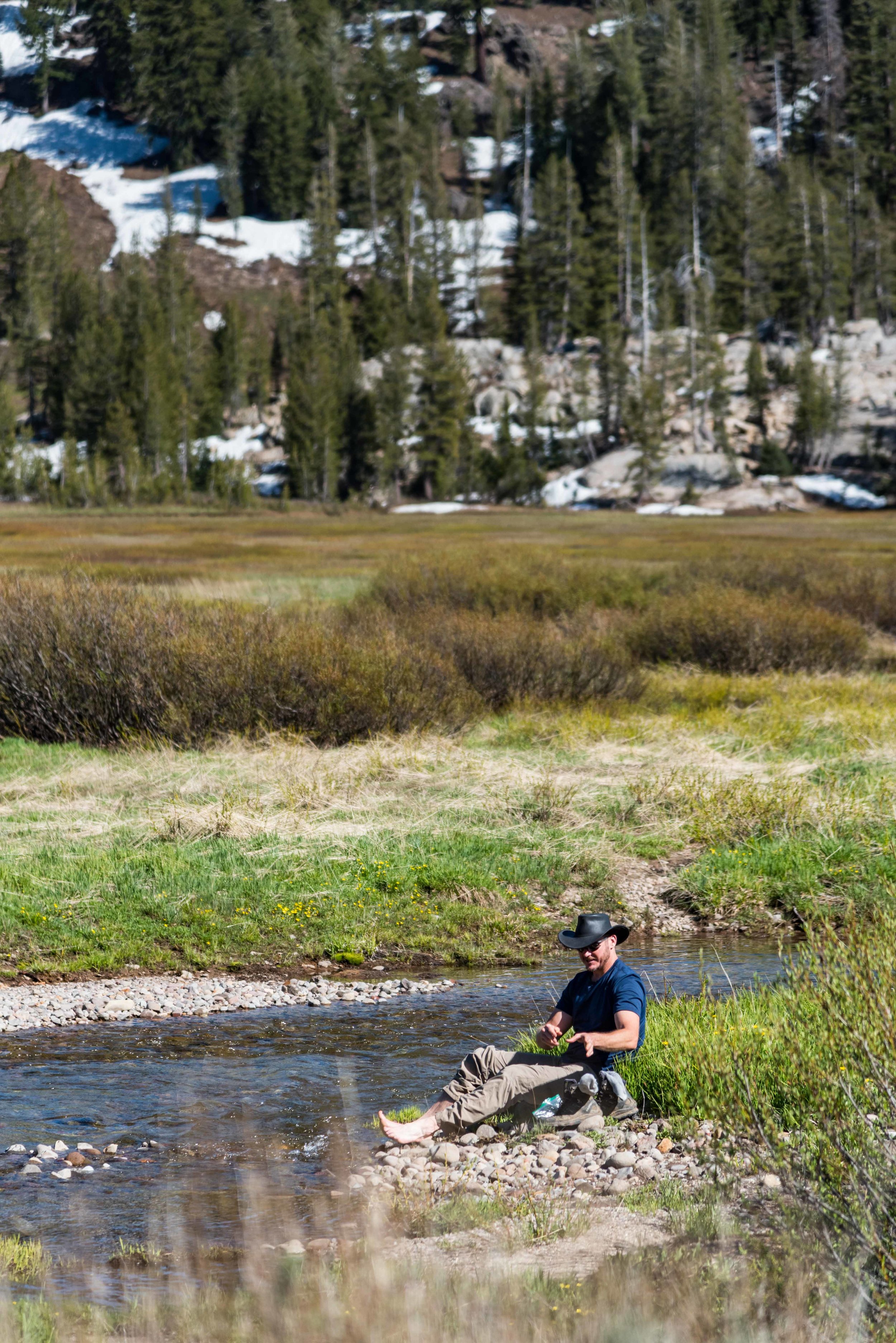
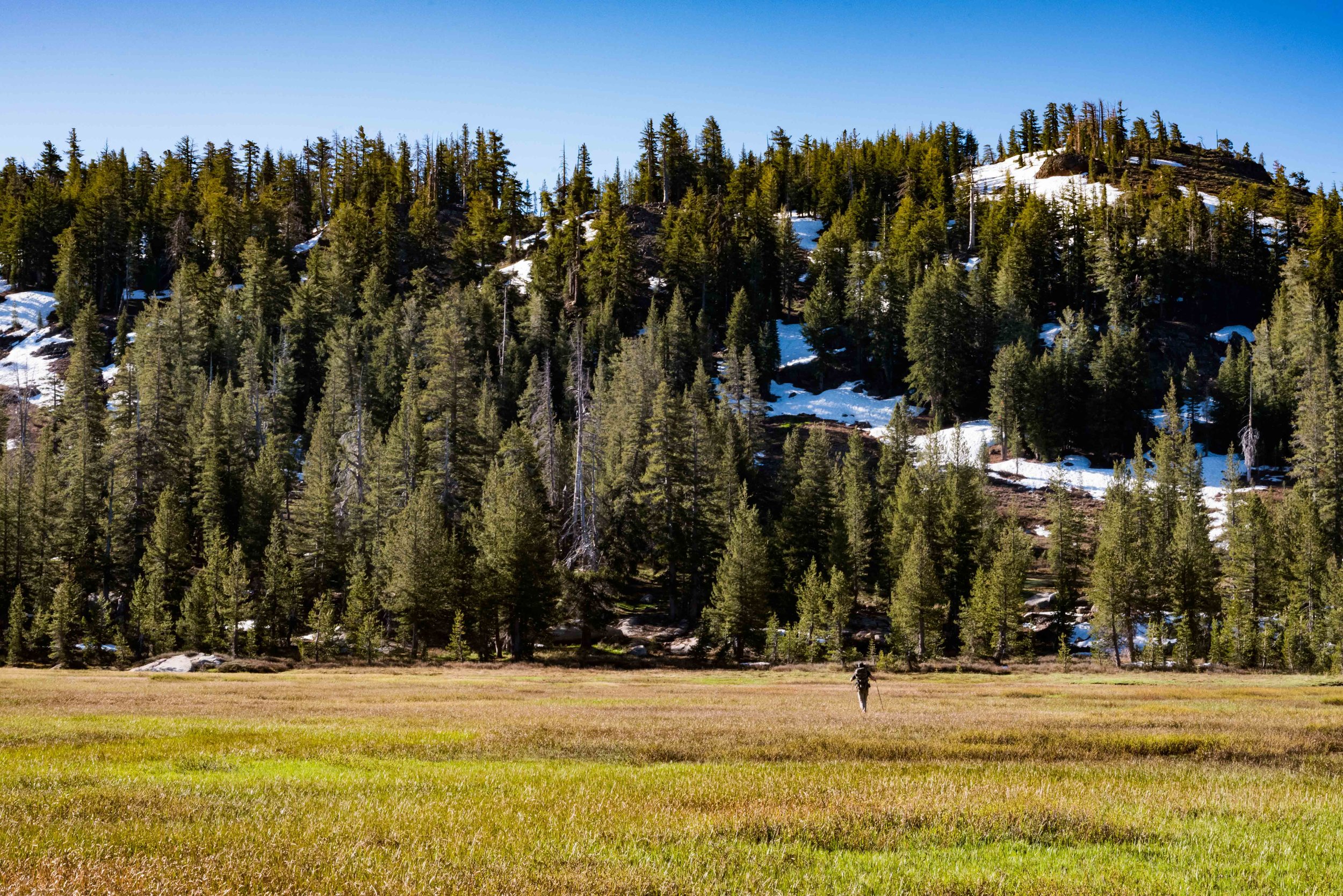
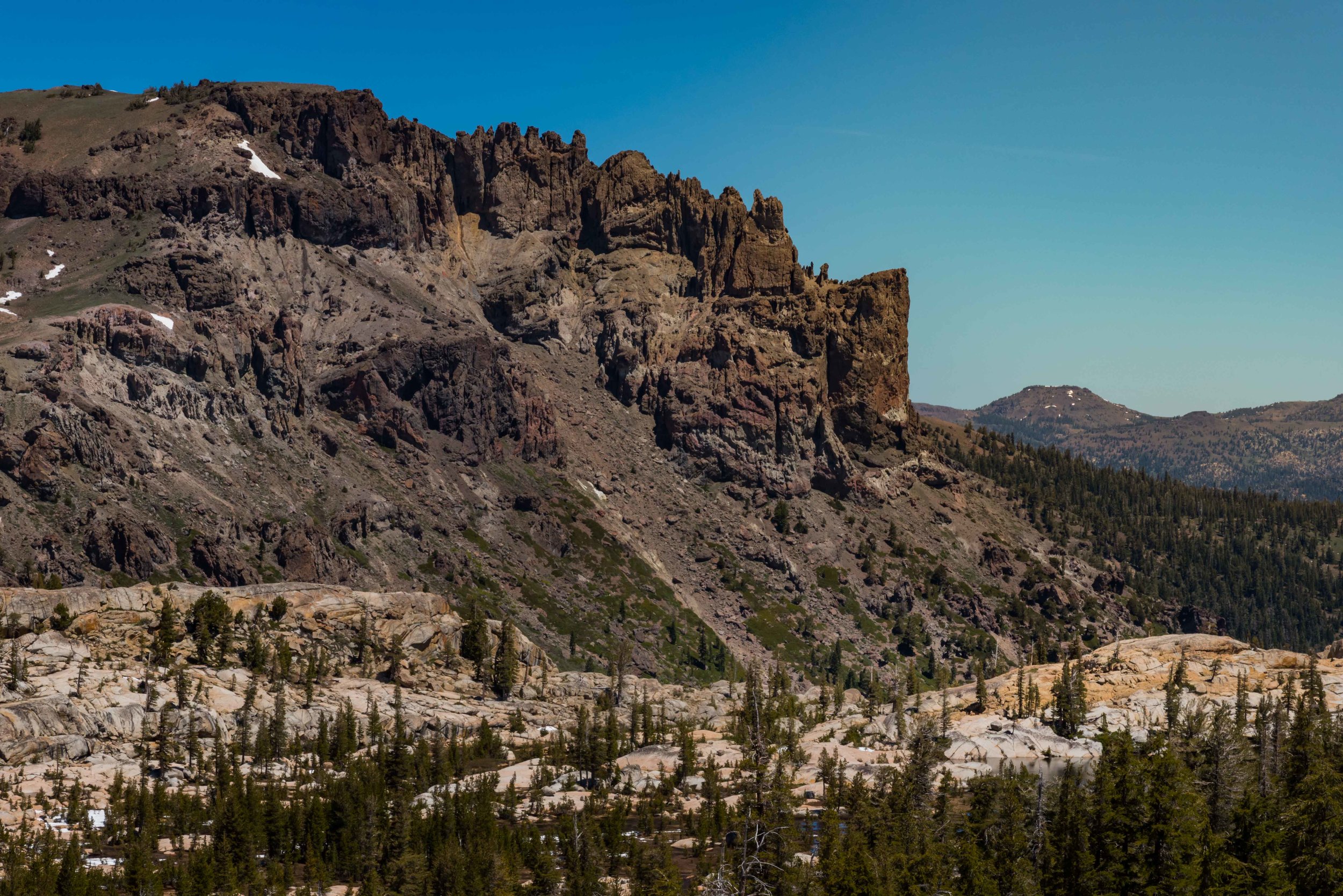
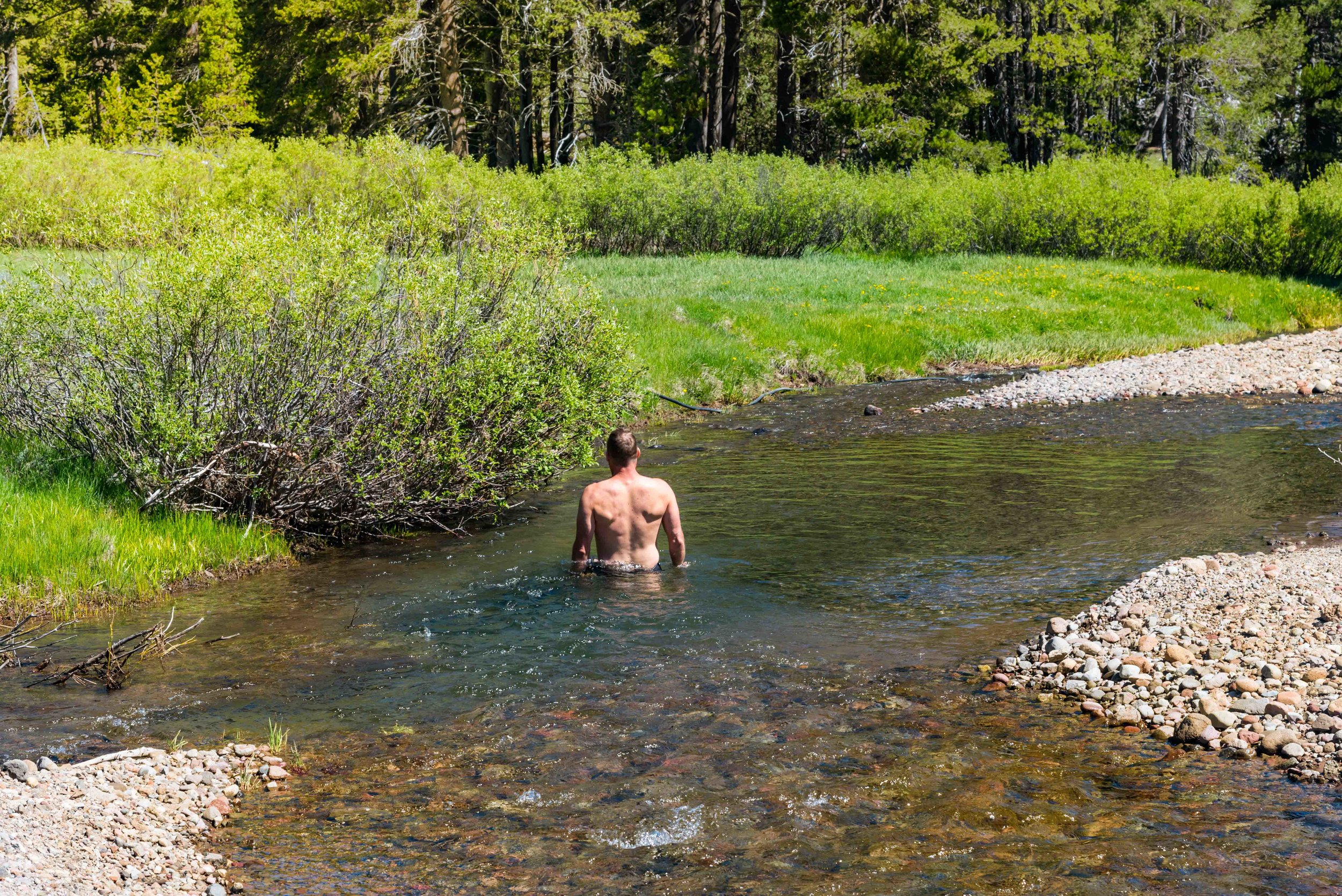
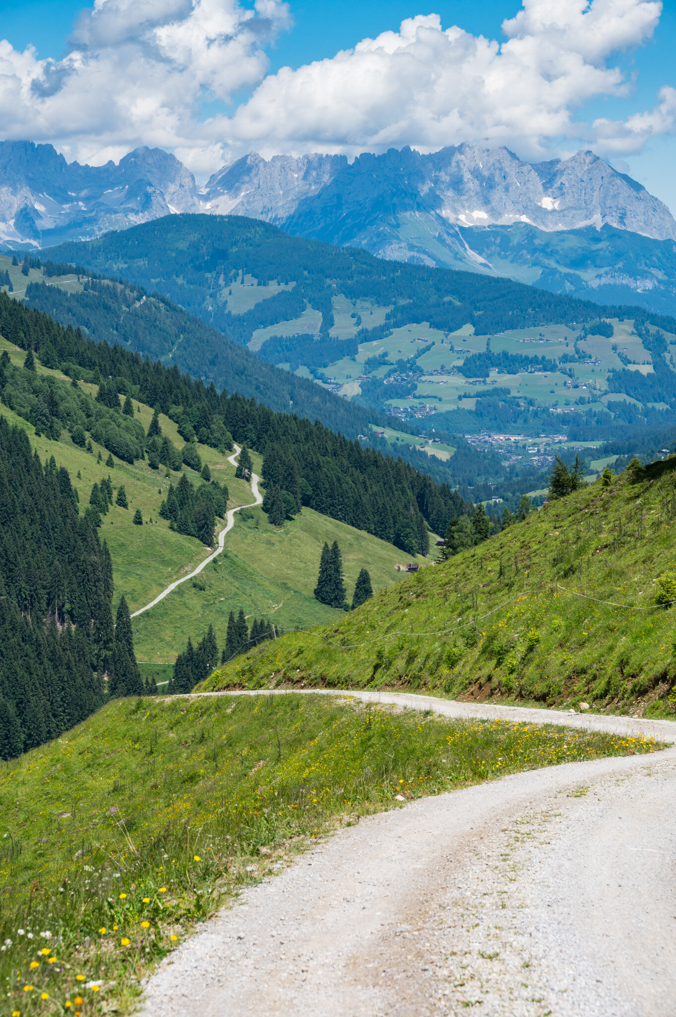
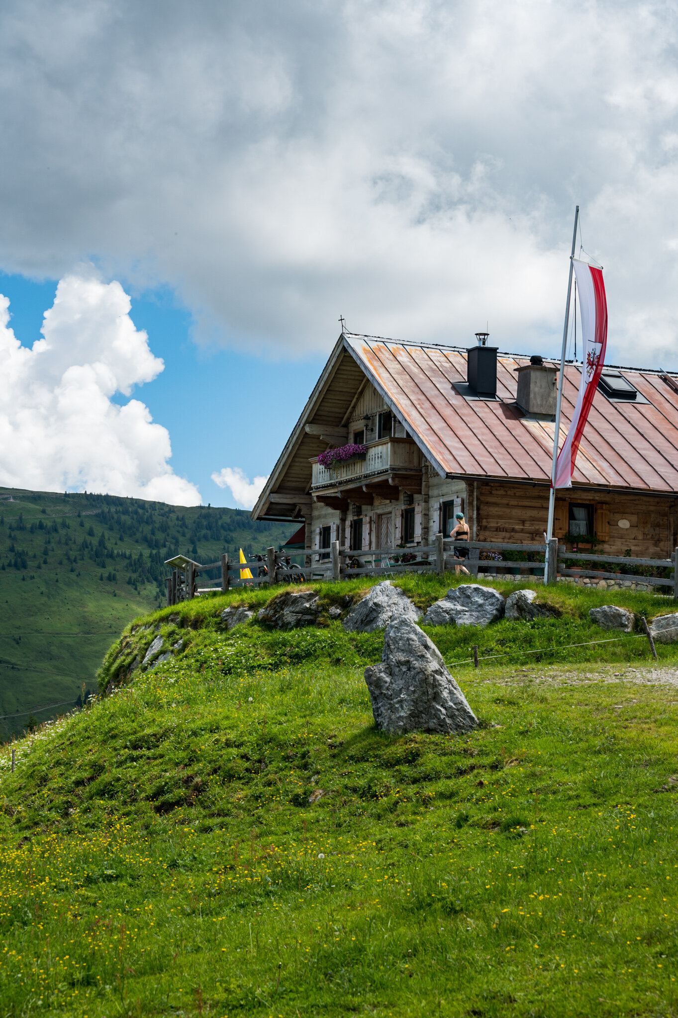
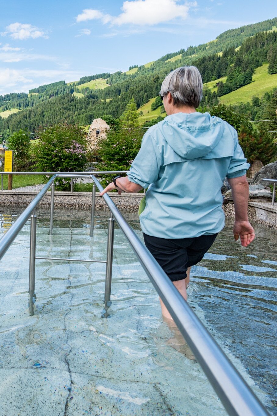
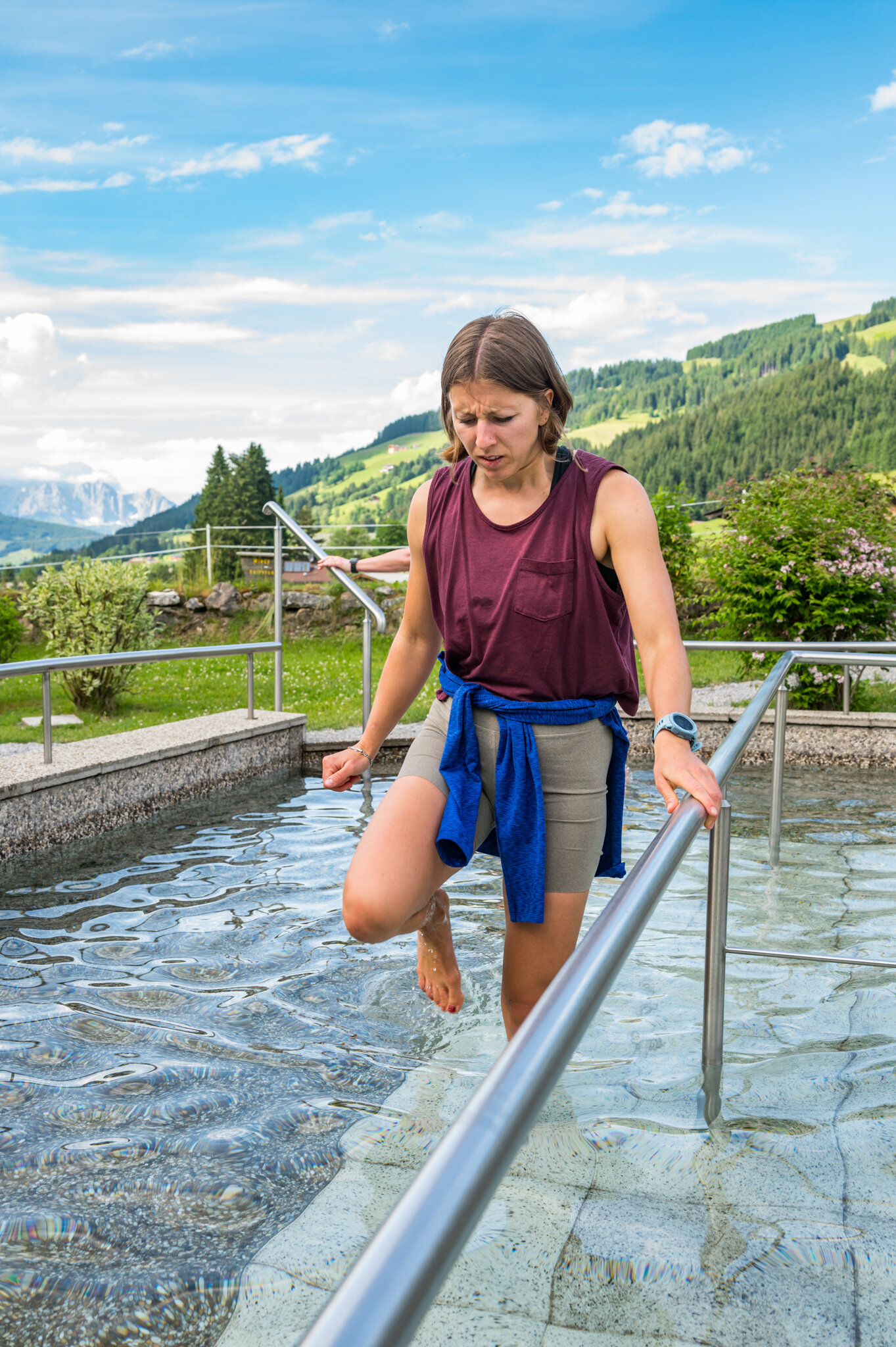
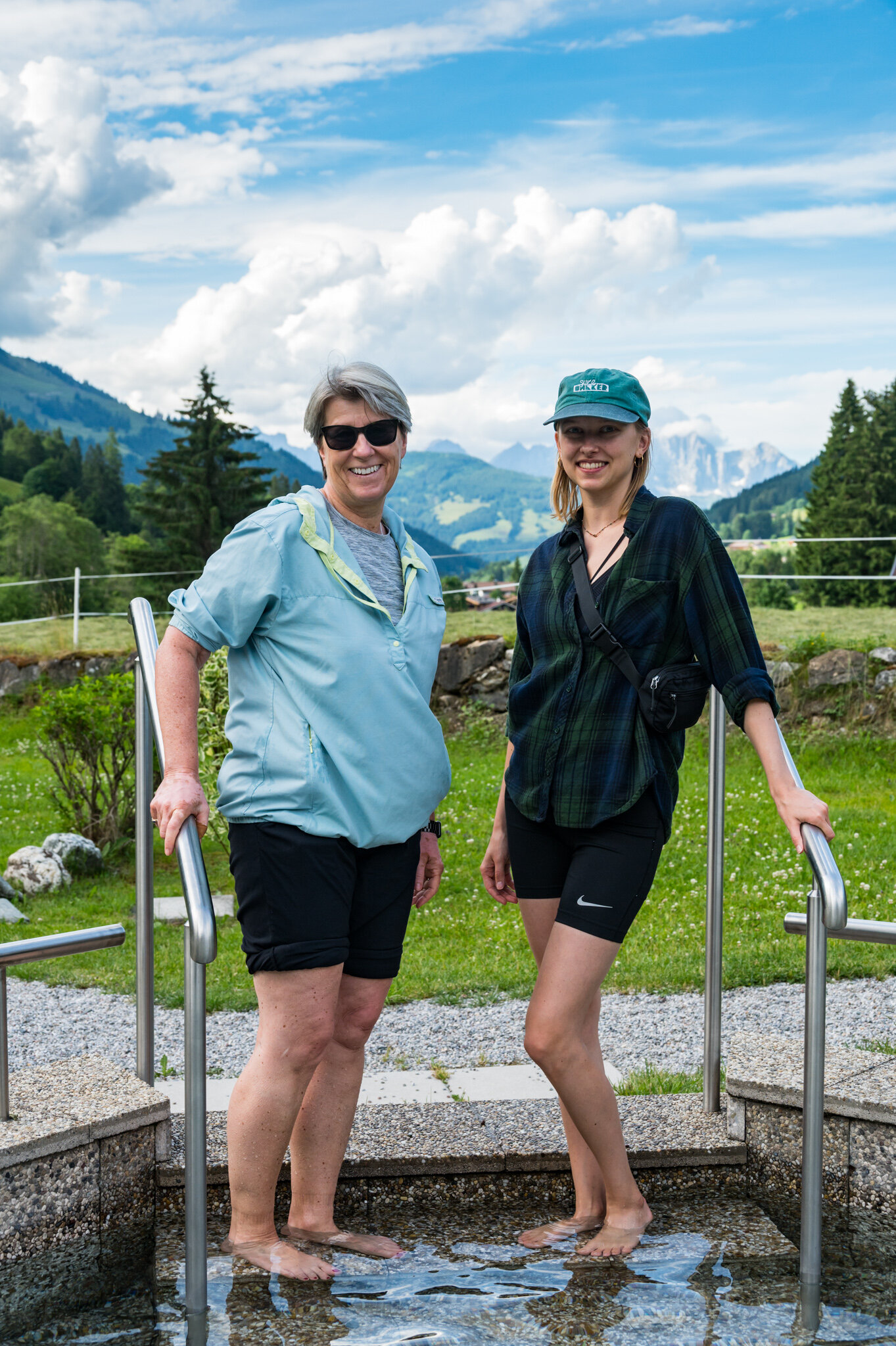
On Saturday we set out early for a view of the Kaisergebirge (Emperor Mountain’s) in the distance. On our way back down we stopped for a hefty plate of Käsespätzle, but there’s no photo evidence of that because it disappeared in an instant with a glass of fresh milk to wash it all down. Before walking back to the apartment we stopped by the ice-cold foot baths to “open up the capillaries in our feet,” or something. Some of us handled the ice-bath better than others…

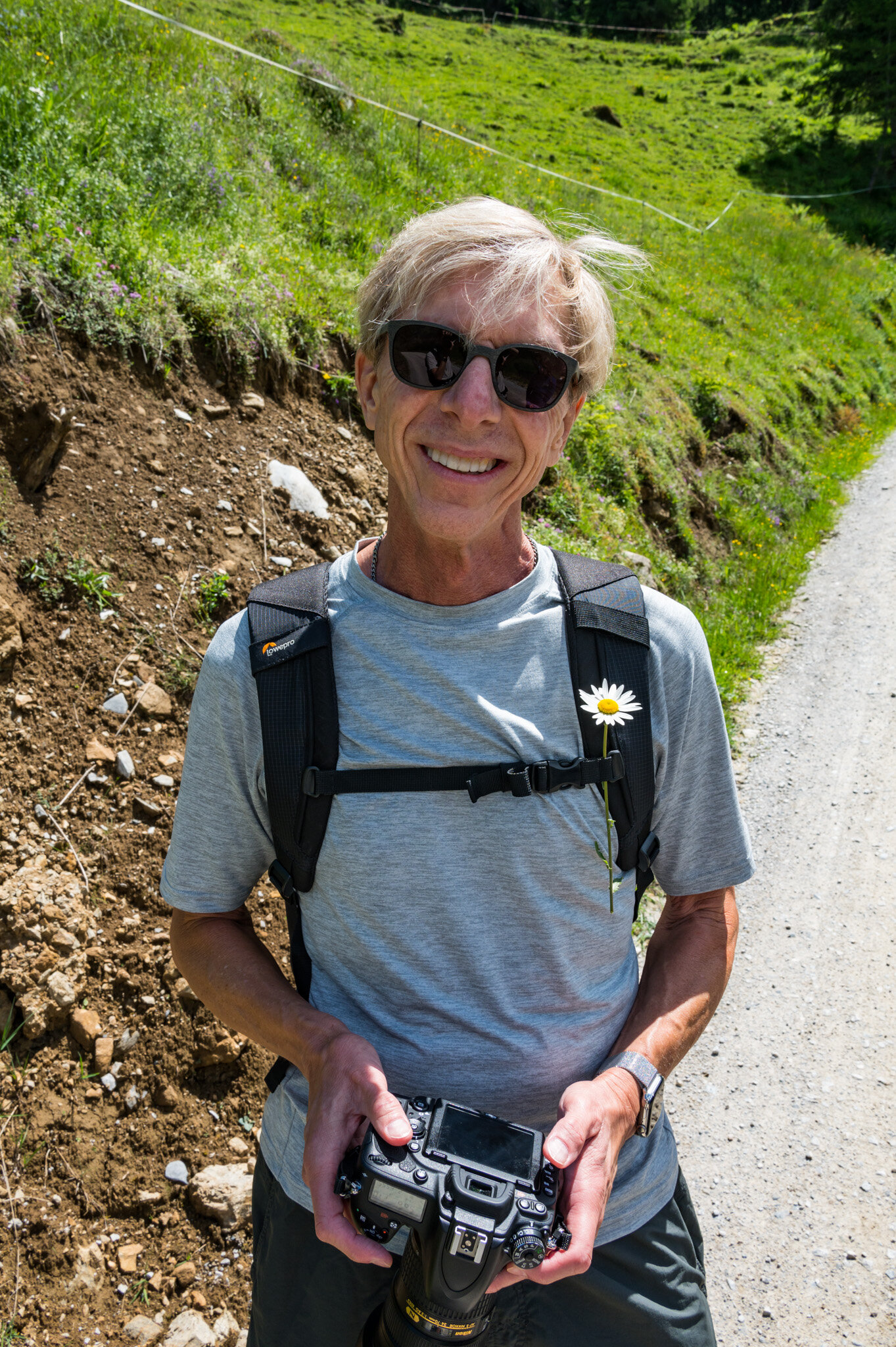
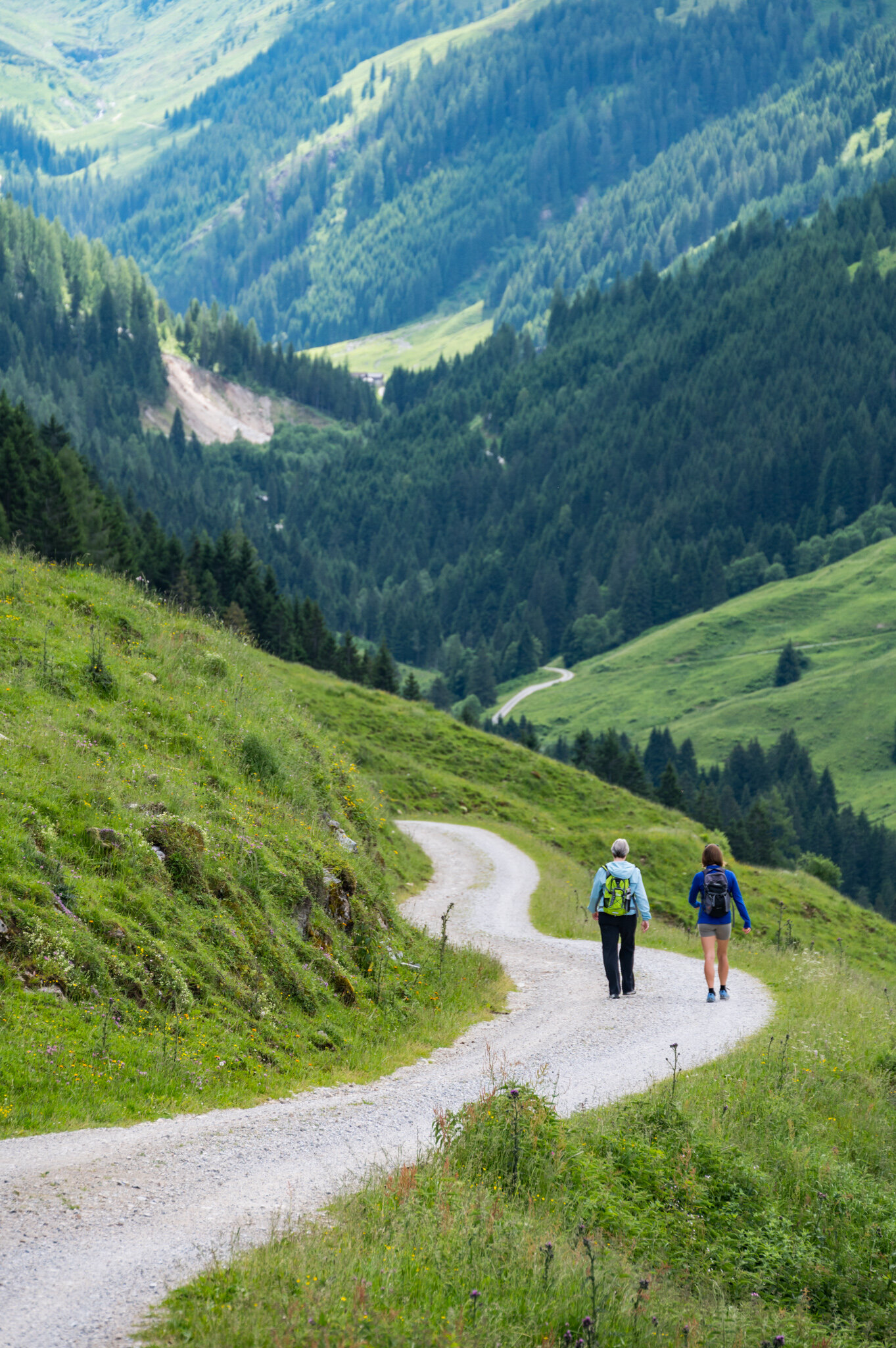
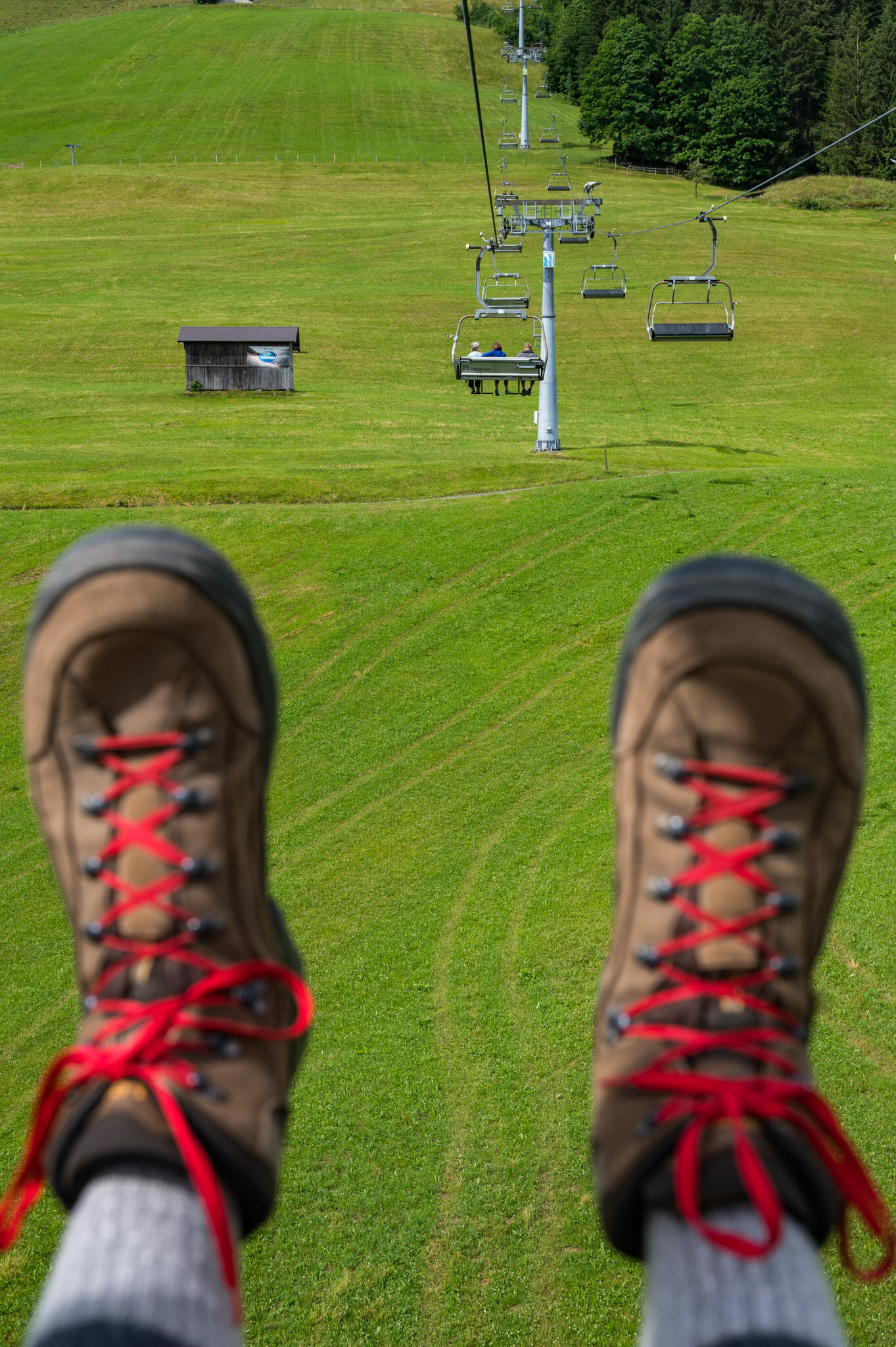
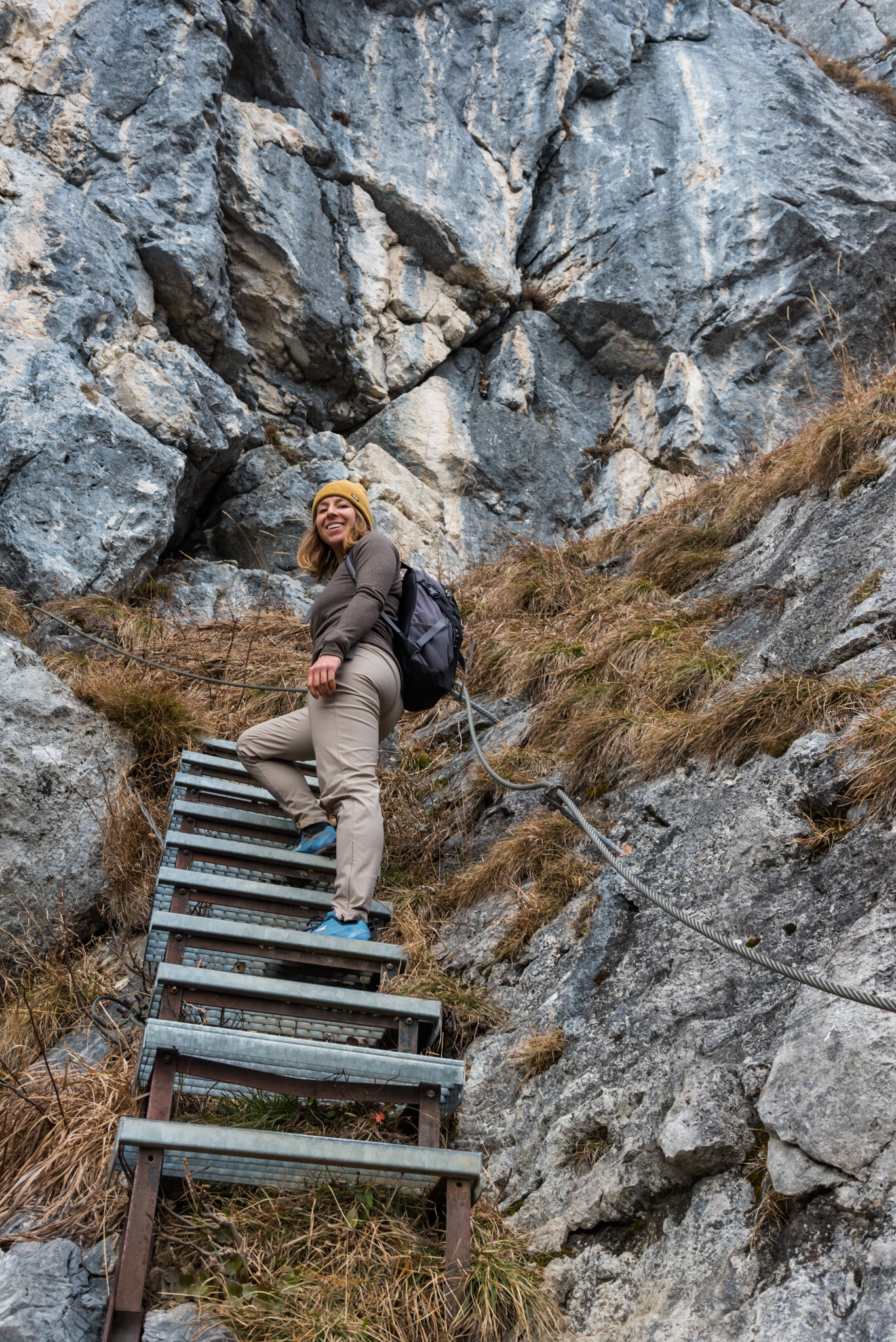
On our final day we took the chairlift up to a plateau below Gaisberg and hiked around the peak to Gampenkogel where we gorged ourselves on Austrian food (Schweinebraten, Wienerschnitzel, Gulasch, etc.). Again, there is no photo evidence of this meal.

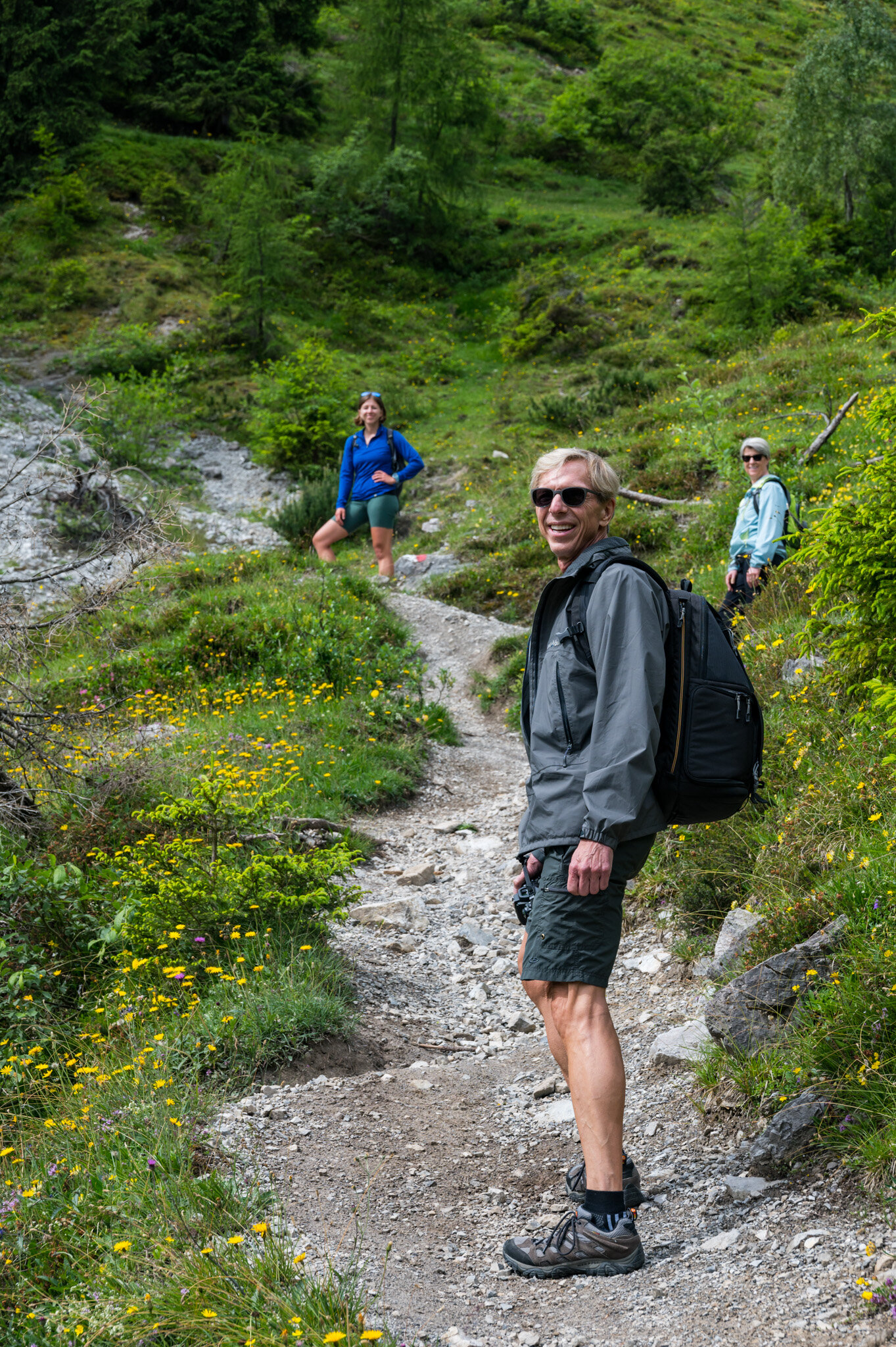
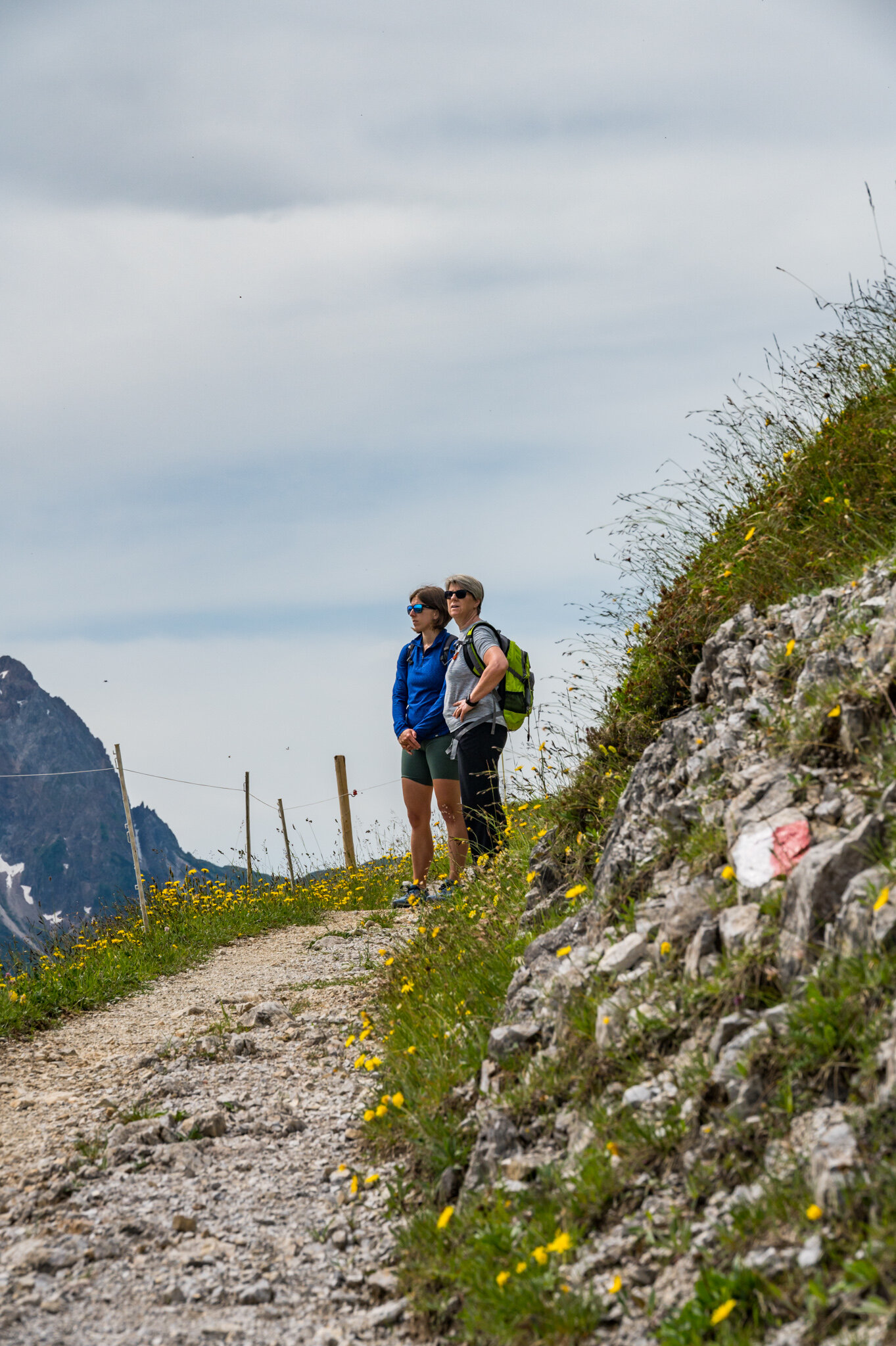
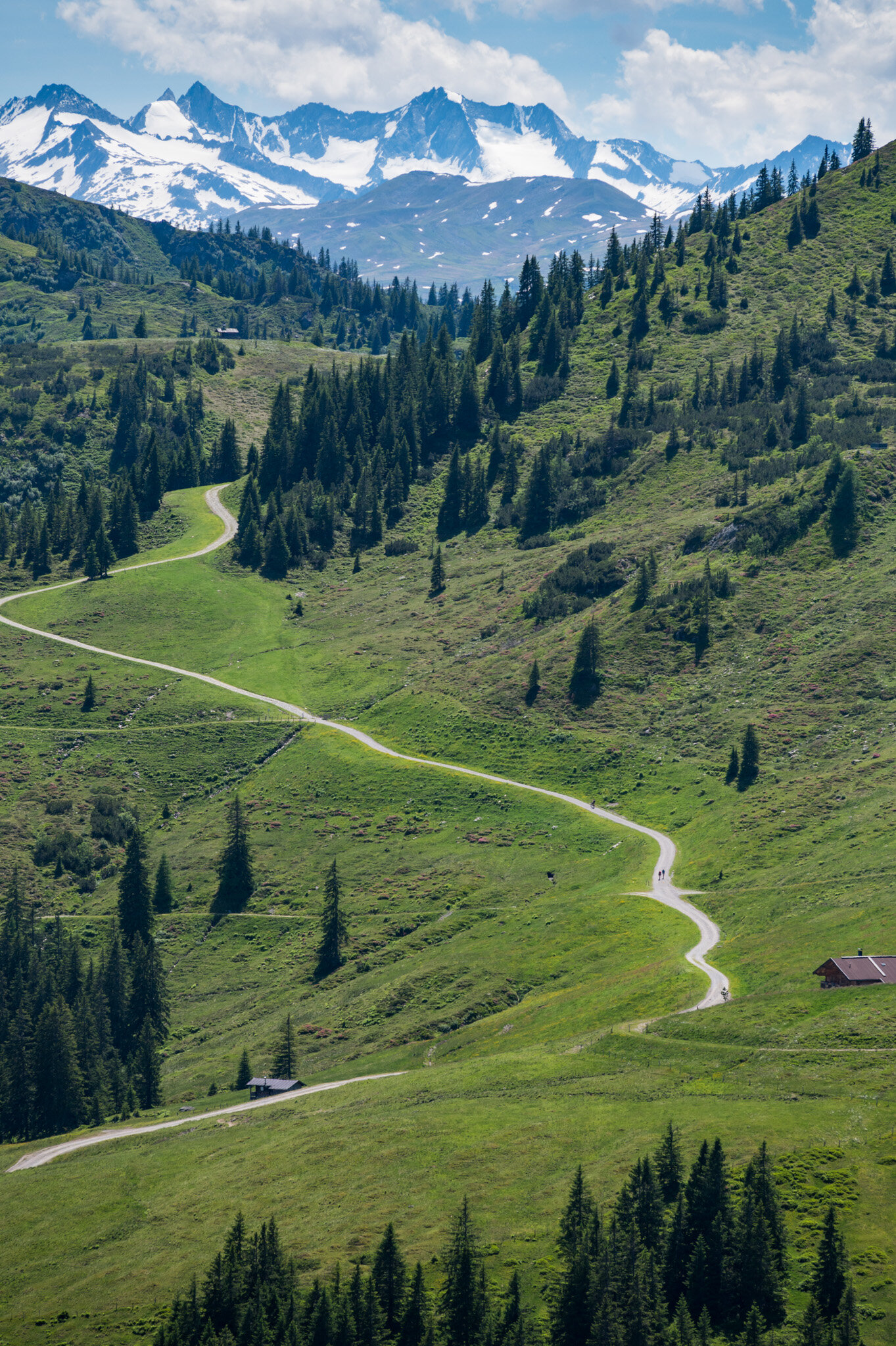
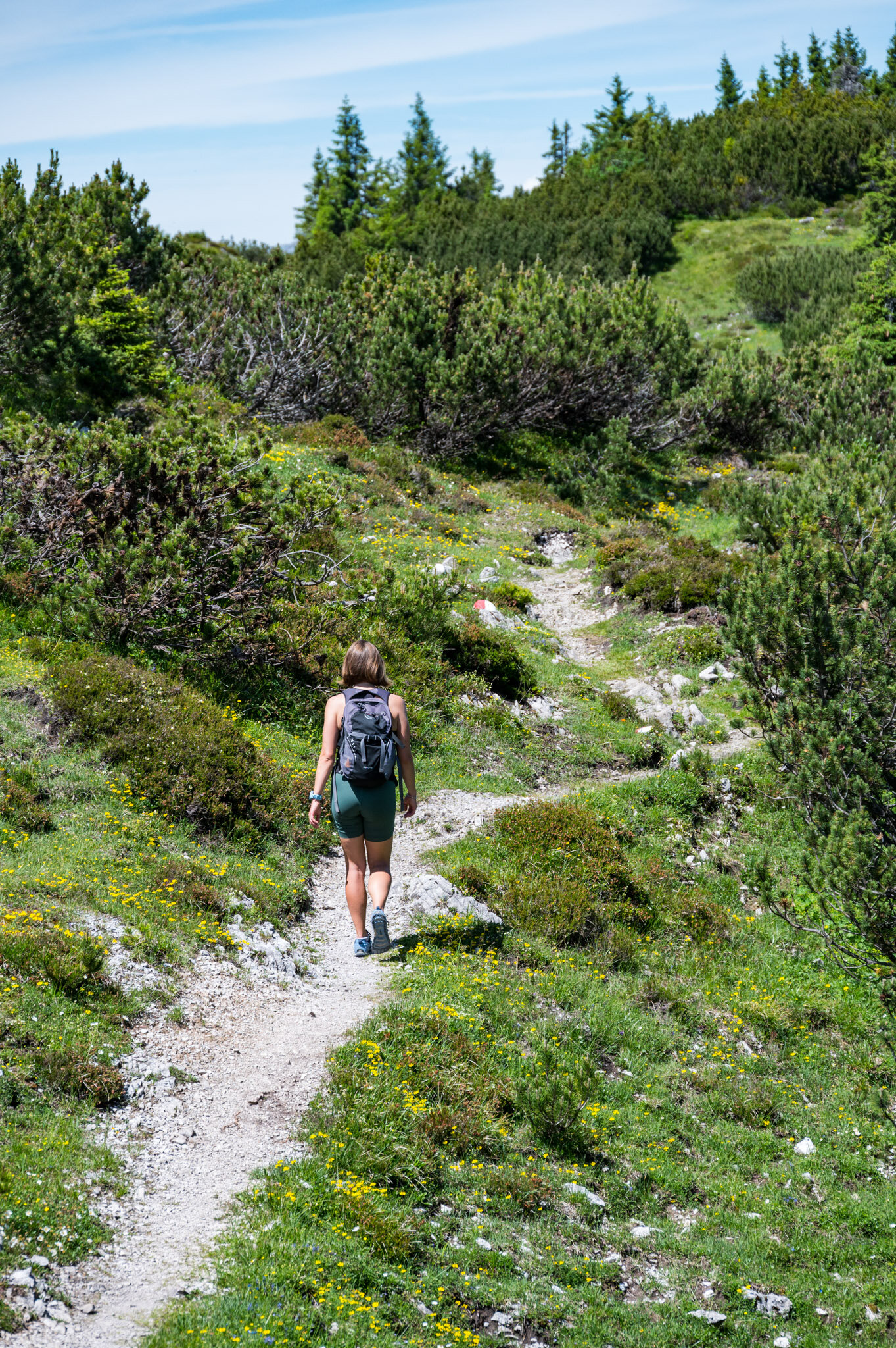
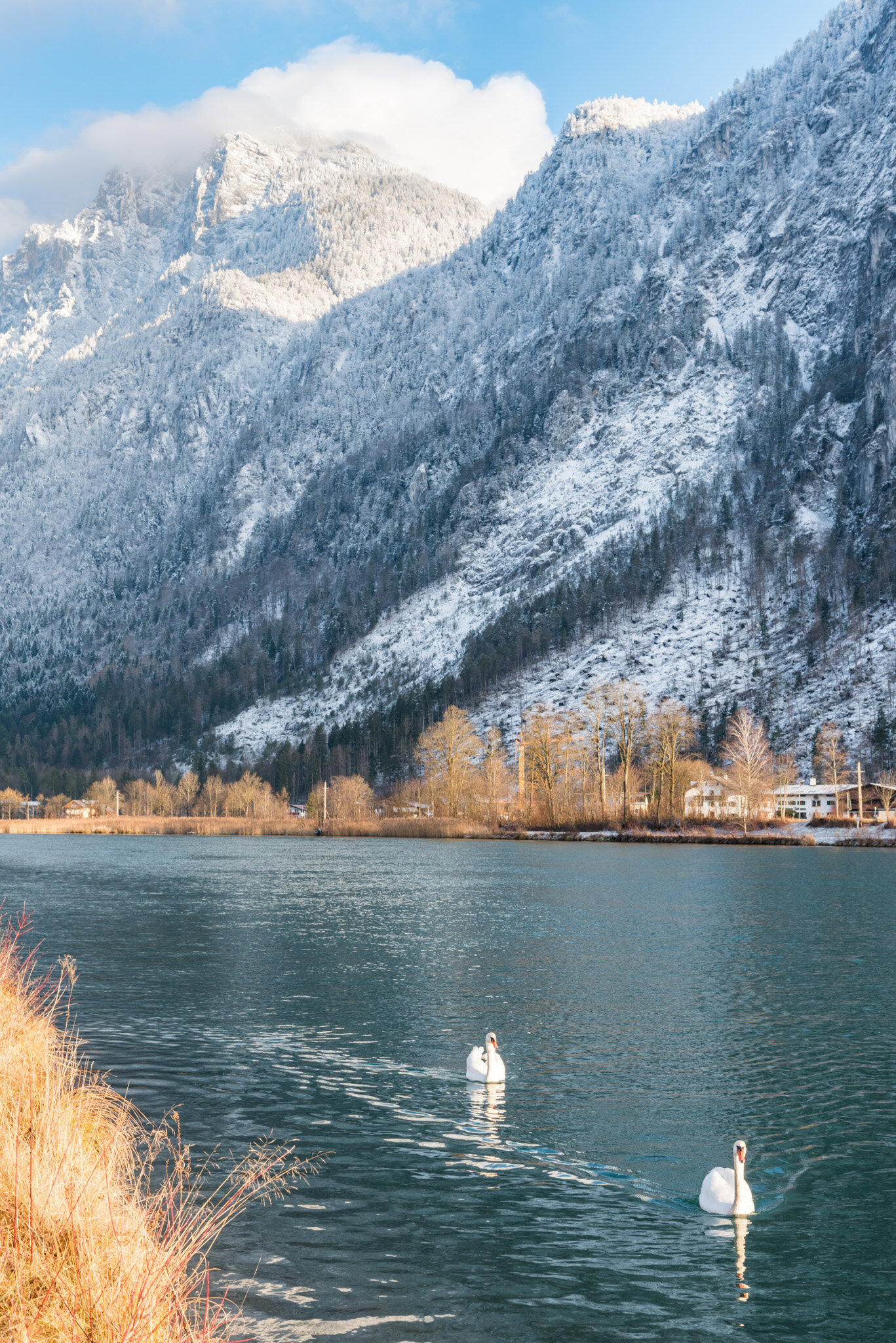
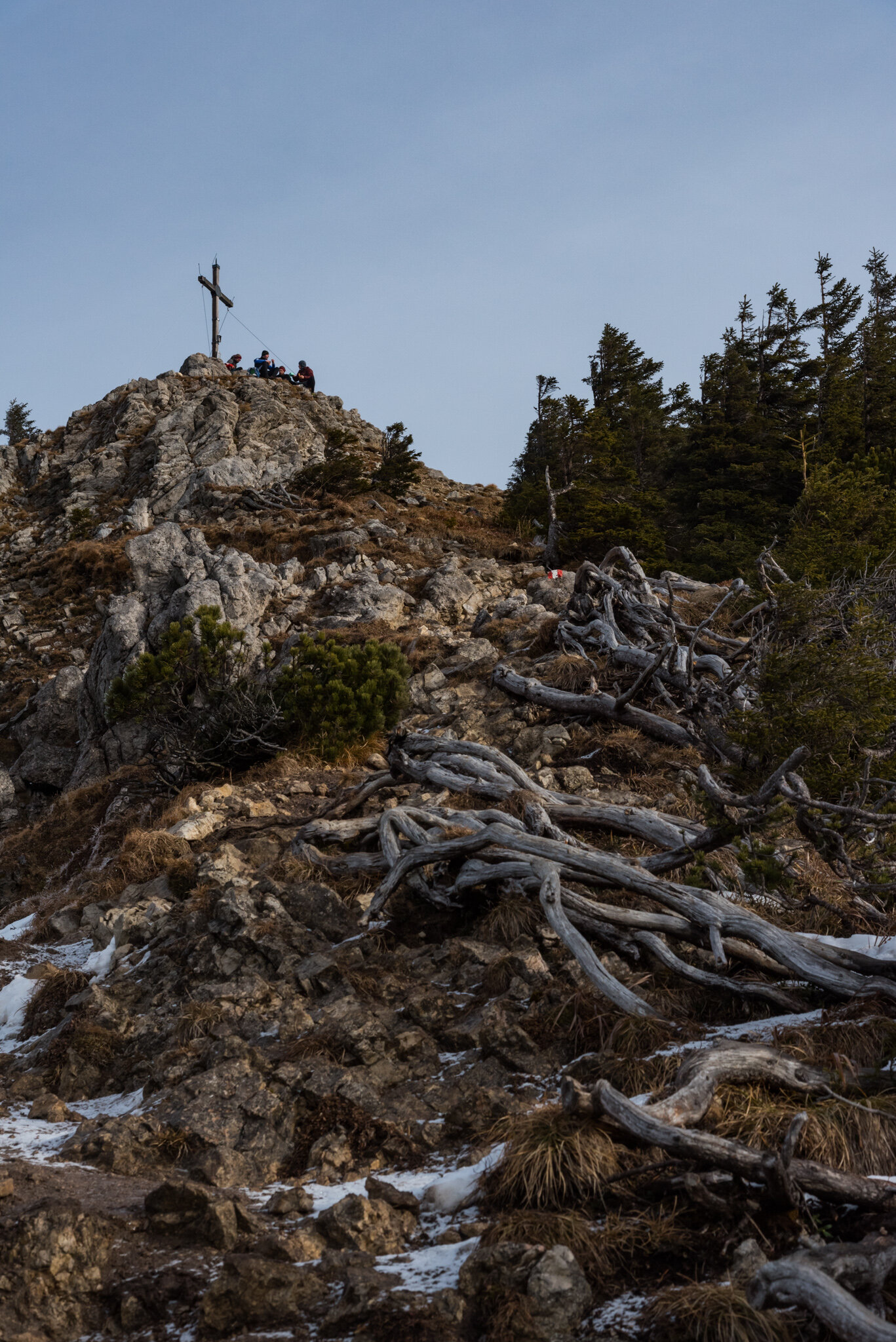
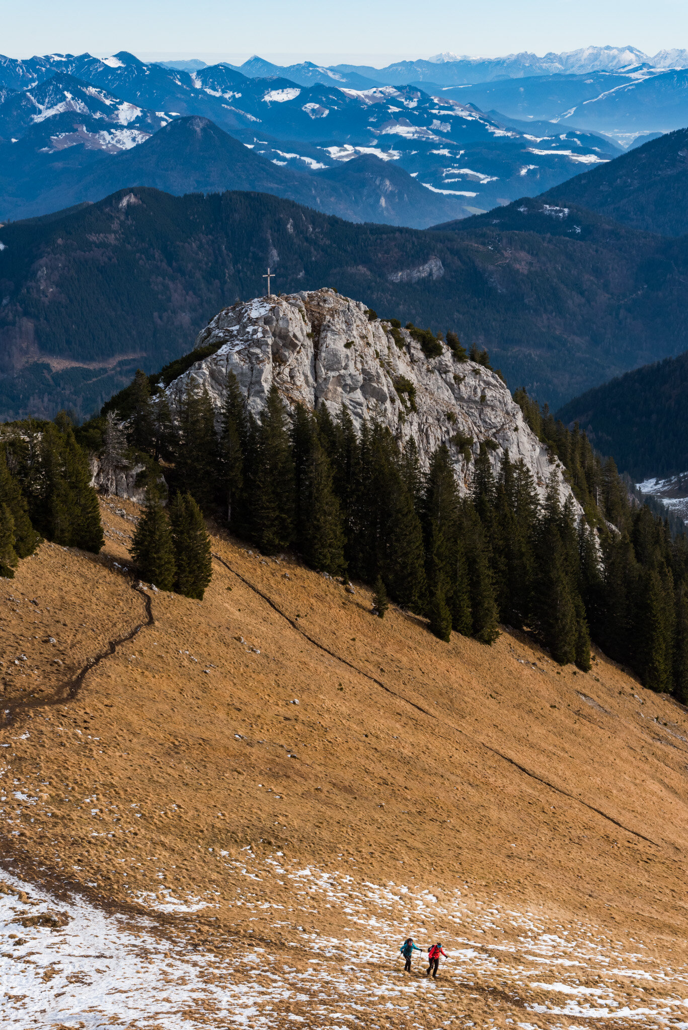
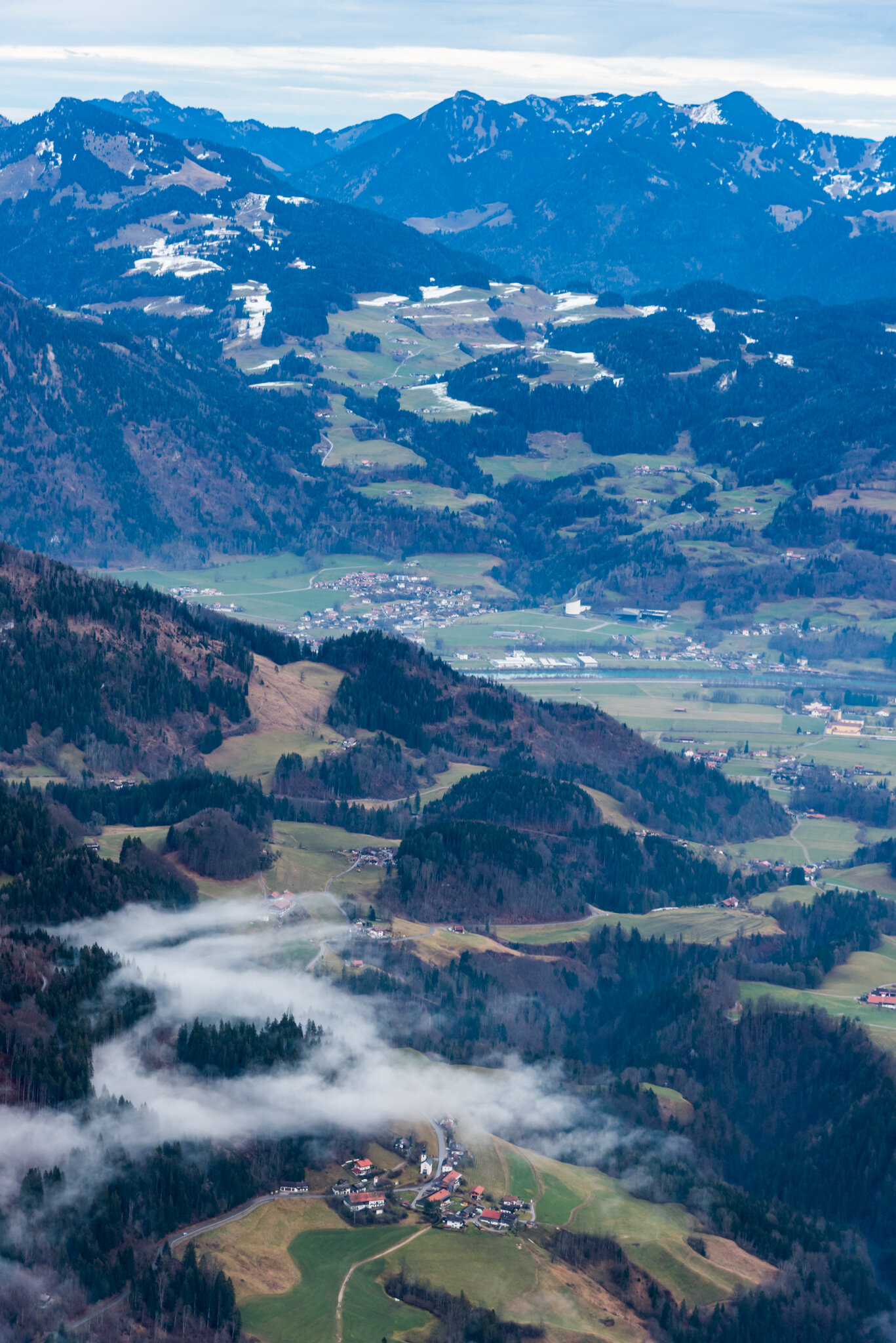
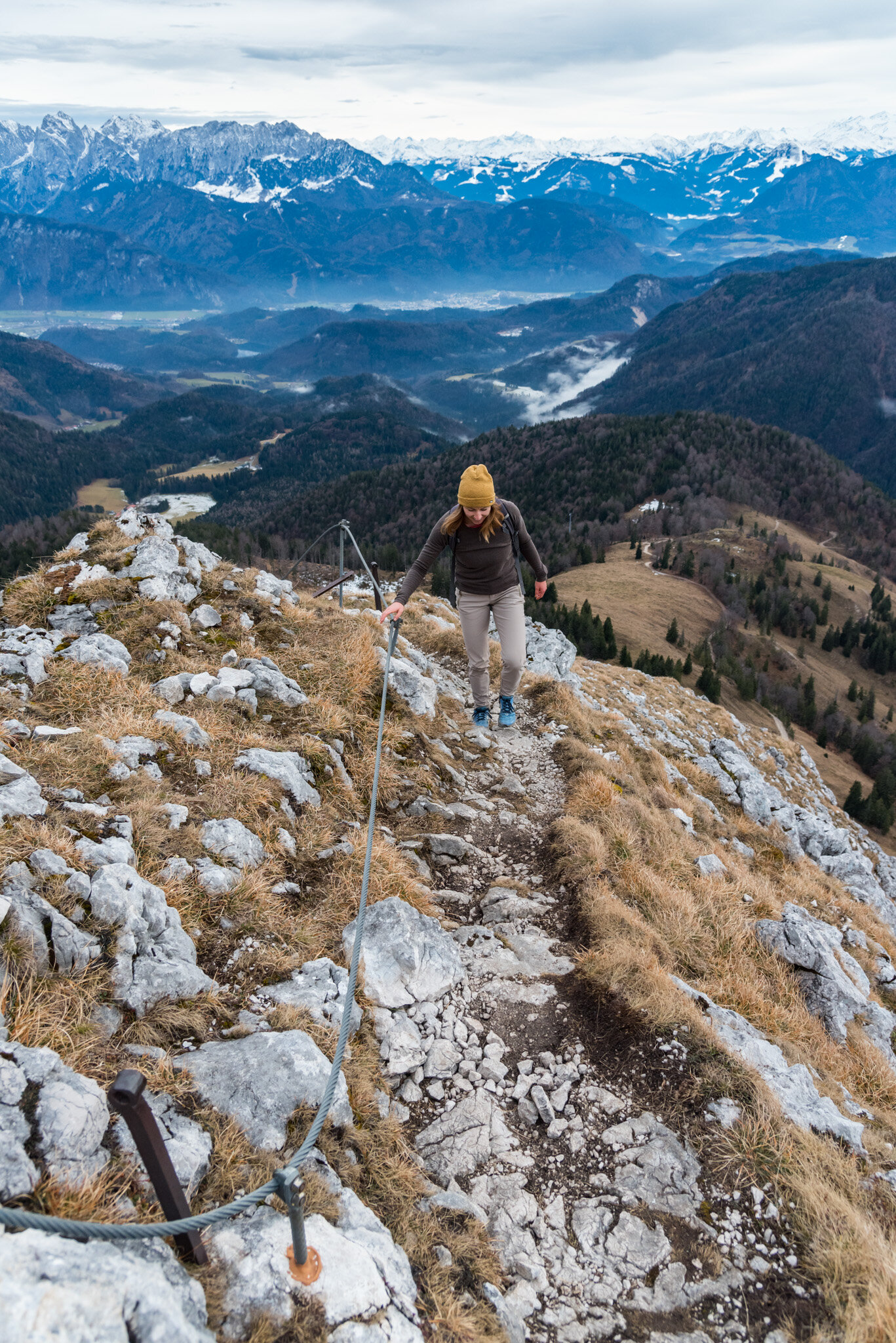
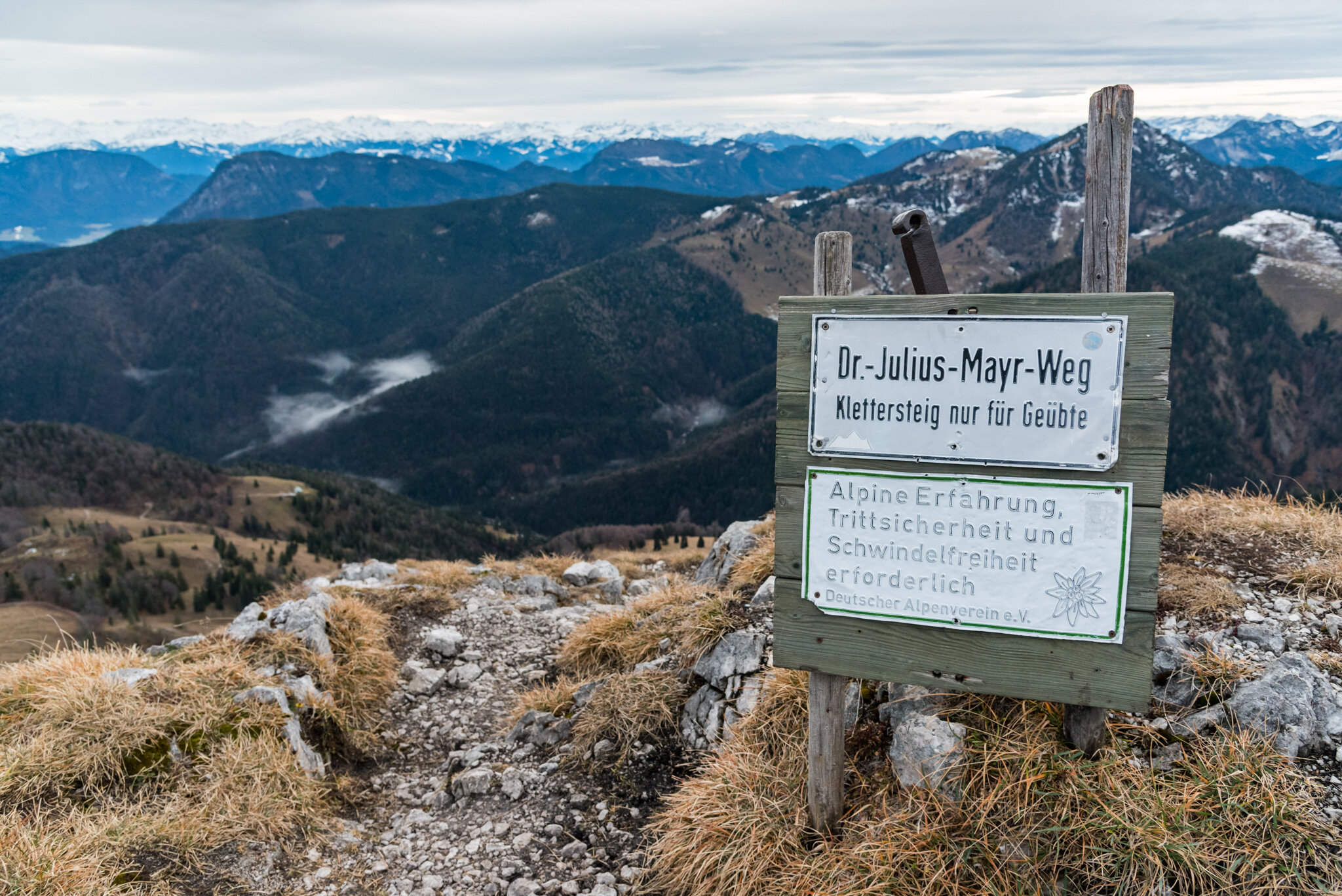
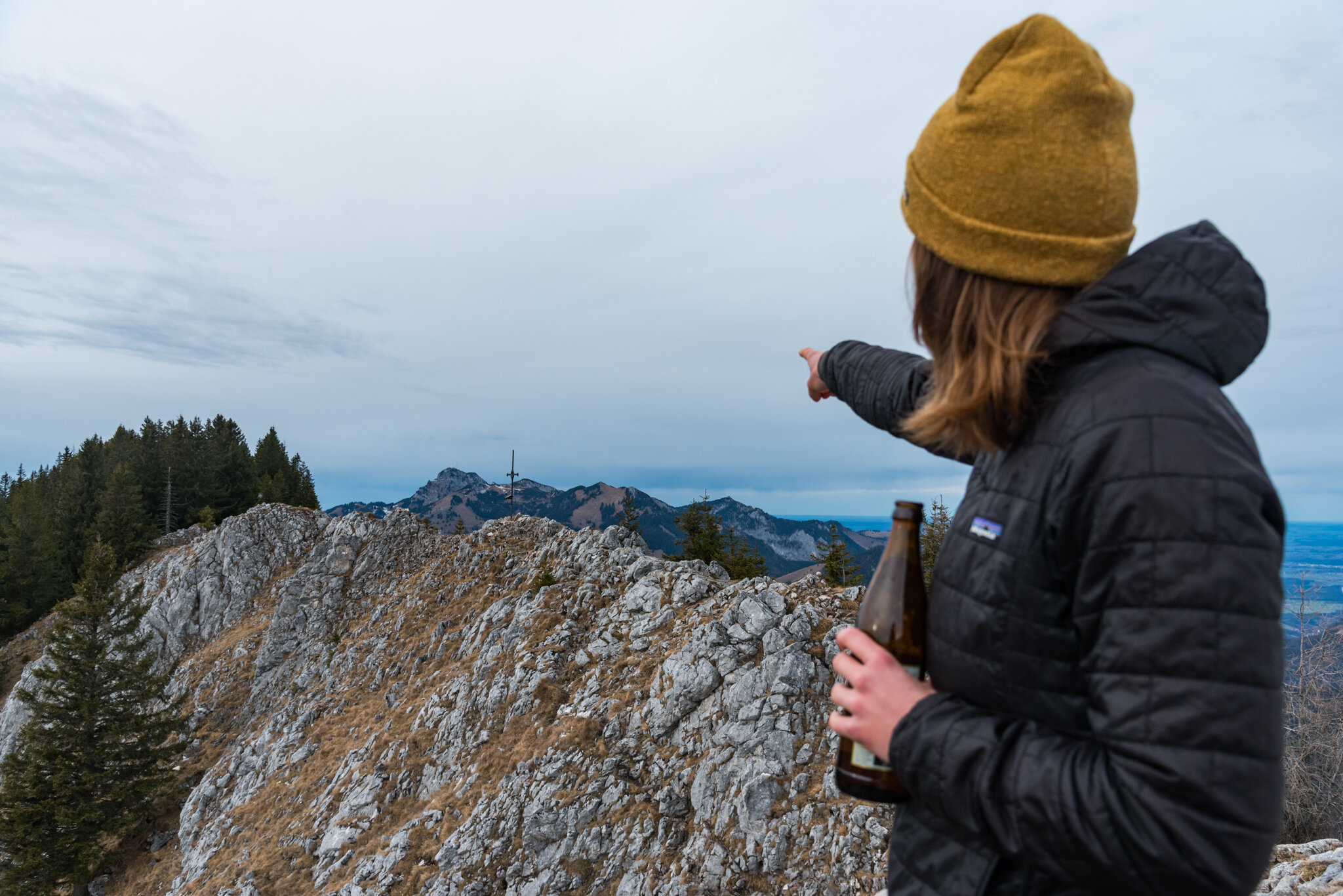
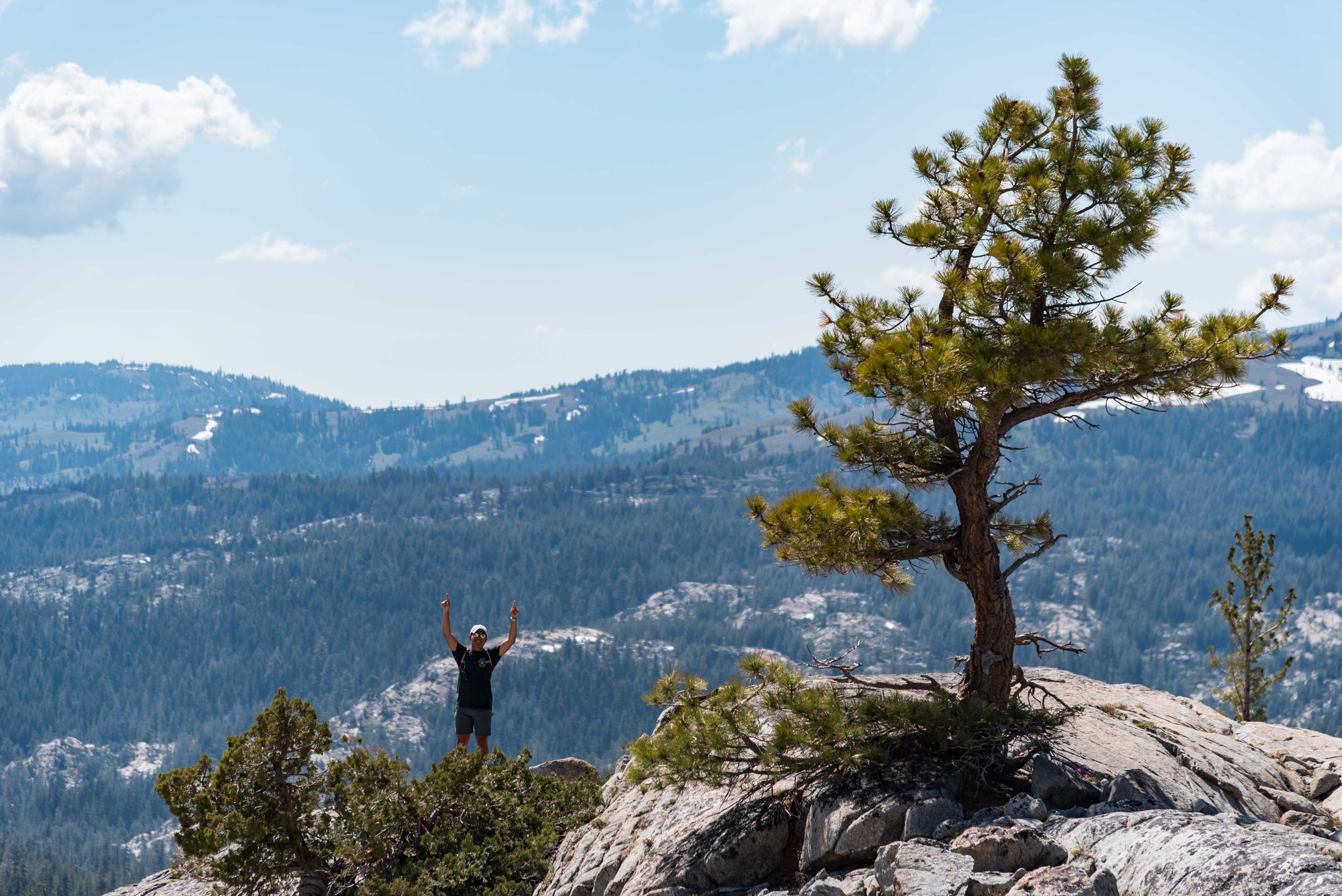
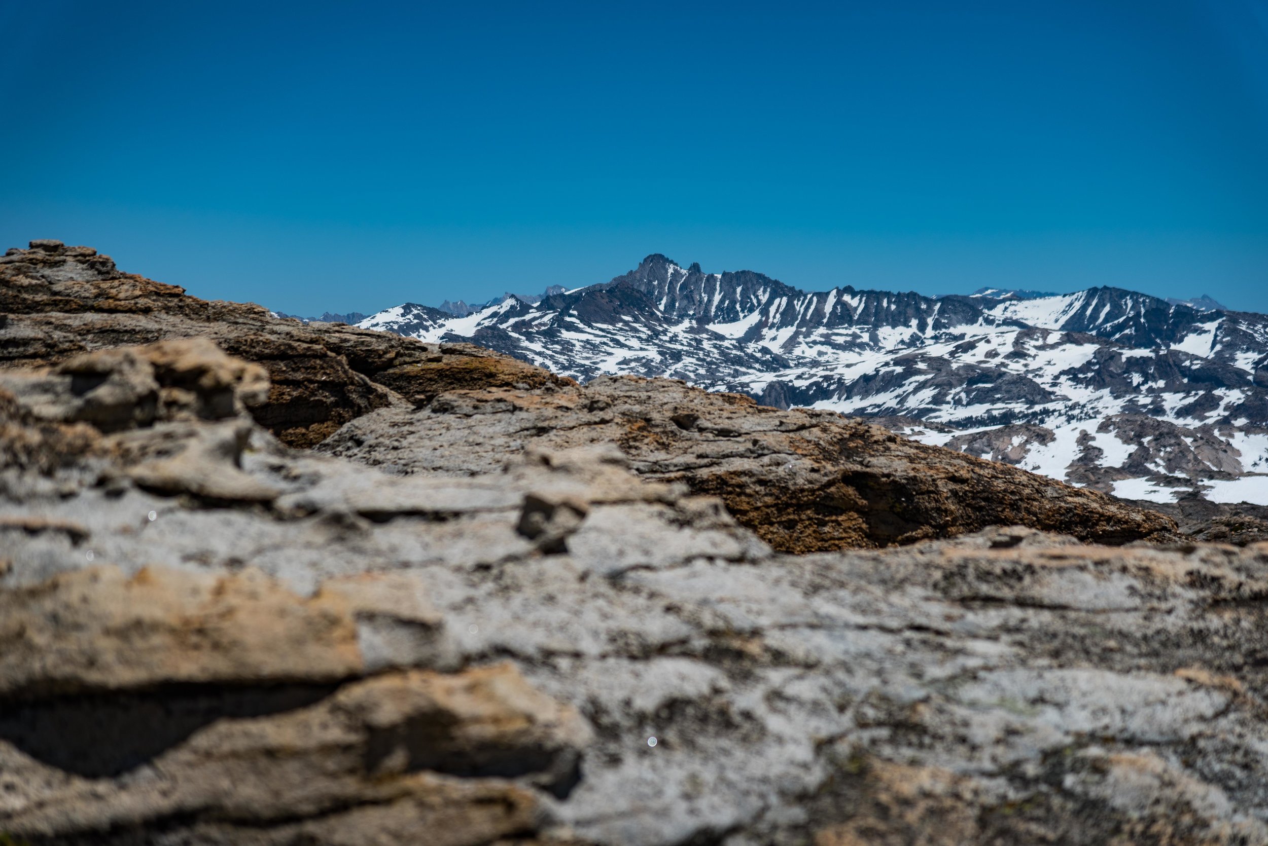
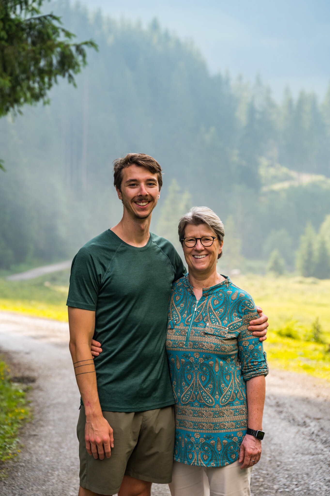
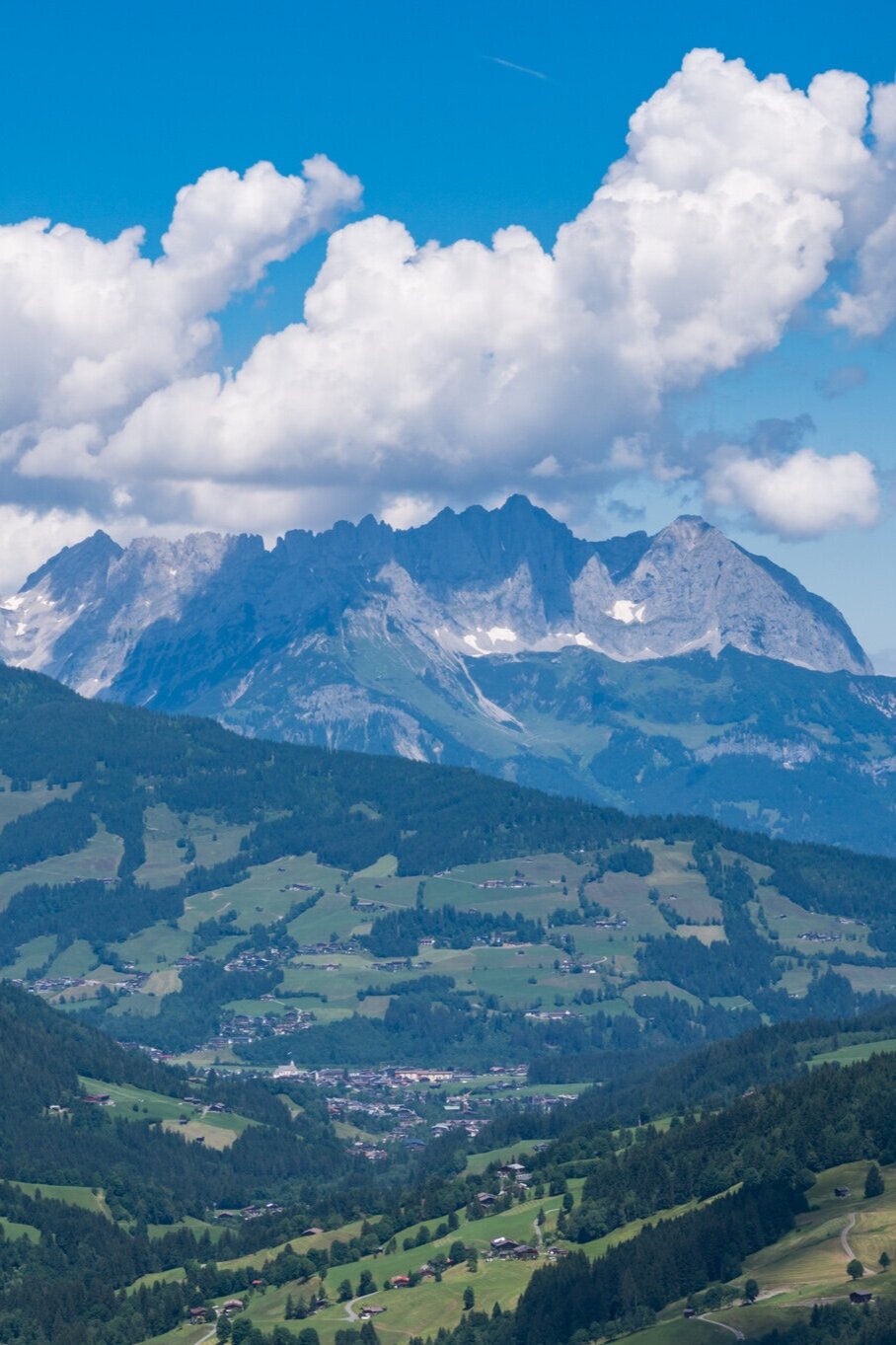
Susie and I rolled out of the restaurant early to make a push for the summit of Gaisberg for an unobstructed view of the Kaisergebirge in the distance. We then scrambled down the shale to meet with the others before the last chair down the mountain at 4:30 p.m.

Kiefersfelden, Germany 2020 by William Bryan

The holidays were a little bit different this year. With travel restricted and lockdowns blanketing Europe my sister and I found ourselves an ocean away from our parents but only a 7-hour drive from each other. Rather than travel by plane, train, and automobile to California I rented a car, pointed it south, and bobbed my head to energetic music for 700 kilometers. Cruise control did the heavy lifting and before I knew it I was in Kiefersfelden, a tiny border town, and my sister’s new home. We hung out with our parents via video chat for the three nights of Christmas and spent as much time outside during daylight as possible.

Restrictions were tight but I was determined to be as active in the mountains as possible, and hiking was allowed. Everything past the Austrian border was off-limits but that still left plenty to explore. To kick things off I put my finger on the map and picked a peak to summit by myself while my sister was working. I hopped in the car on the cold morning after I arrived and navigated Kiefersfelden’s narrow Bavarian streets on my way to the mountains. I wound my way up into the hills, gingerly weaving around churches and wood-clad alpine homes. As I drove I kept an eye on the thermometer in the car’s display. It was hovering around 2º celsius as I made my way through town but as I gained elevation it dropped to -1º.  To be safe I took turns at 10 km/h. I was investigating every patch of road along the way, wondering if it was icy but I couldn’t see any.

The backdrop to my slip and slide.

The backdrop to my slip and slide.

And that’s why it’s called black ice. I didn’t even have time to panic and try to fix my mistake. The moment my tires hit the patch of slick icy asphalt it was already too late. I slid sideways in slow motion, staring at the stone wall on the side of the road. I was resigned to my fate. My brand new rental car and the quickly approaching rock were about to become very intimate.

But then I jolted to a halt. I looked to my right across the empty passenger seat and inspected the rock wall, wondering why it was so far away. I climbed out of the car and noticed that there was a patch of gravel half a meter wide separating the pavement from the rock wall, which had stopped my slide. I let out a sigh of relief.

After a few minutes to steady my nerves, I started the car up and cautiously pulled back onto the road, driving even slower than before. As I neared the trailhead I came upon a field of ice blocking my way. Centimeters thick and blanketing the road as far as I could see up the hill into the distance, I realized I had no chance of making it to the top to my destination. I was discouraged by the weather but not willing to give up so I returned to the main road and drove until I found a parking lot packed with cars and vans.

WEB_0966.jpg

Trusting the locals, I pulled over, suited up, and walked until I found a trail marker. It wouldn’t be the same as my planned hike, but after months in Berlin with not a mountain in sight, any peak would make me happy.

Hiking 4.5 kilometers through the mud, snow, and ice I gained 610 meters of elevation before reaching the peak, Wildalpjoch. The flat plains of Bavaria spread out to the north, the Wendelstein weather station capped the peak to the west, and the jagged peaks of Austria jutted up to the south and east. After a quick snack and two dozen photos, the cold alpine wind was too much to bear. I took one last look at the vast snow-capped mountains in the distance and headed back down to the car.

Two days later my sister and I set our sights on Brünnstein, a peak in the last row of mountains before the Austrian border. The trek started off easy enough. We wandered through empty muddy fields dotted with alms. During normal times these huts would be crowded with hikers looking for a warm place to rest their feet and a hot meal before continuing on. But these weren’t normal times. We passed hardly a soul on the hike and the alms were deserted, locked down to curb the spread of the virus.

Just before the peak as the tree’s thinned our path became rocky, steep, and dotted with alpinist’s cables. We clambered up the nearly vertical slopes, using our arms to pull ourselves along the path. At the top, we were greeted by a warning sign, a tiny shrine, and a view spanning dozens of snowy peaks. We celebrated with a local summit beer and then continued back down the mountain along our 16km route.

That night and into the next day Bavaria was dusted with snow. From the valleys to the peaks everything was white. Neither my sister nor I had the right gear (read: boots) but we were both determined to get outside so we donned our warmest socks and porous running shoes and ventured into the cold, wet mountains once again. We drove two towns up the road and parked the car at the Wendelstein train station.

We didn’t have a goal in mind but started to walk in the direction of Wendelstein, not sure if conditions would let us get close to the summit. Before too long we were making our way through ankle-deep snowdrifts. More than one local looked at our footwear and grimaced. How un-German to be unprepared for a snow hike.

We had thought our 10:30 am start had been plenty early but at 1 pm it became clear that if we went for the Wendelstein peak we wouldn’t make it back to the car before dark. After a short debate on the risks we unceremoniously turned around and made our way back down the mountain, trekking 18 kilometers in all.

After seven days in the mountains and more than 75 kilometers of walking, hiking, and trudging through the snow I was sad to return north to Berlin. But I was also endlessly grateful that my sister’s new home provided the perfect mountain getaway. Despite the wholly non-traditional virtual Christmas celebration it still turned into a genuinely good holiday in the middle of the pandemic.

Dorrington, California 2019 by William Bryan

WEB_1657-Pano.jpg

A week before graduation in 2018 a group of college friends and I sat on a rooftop in Boston looking out at the skyline in the distance. We were trying—and failing—to avoid talking about how little we’d be seeing each other just ten days from then. As everyone continued their bittersweet banter I realized that if we don’t plan something now, while we were still around one another every day, we likely would never be together as a big group ever again.

That very same day I talked to Katie (our resident planner) about the idea of planning a reunion for the following year. She was 100% on board and suggested the 4th of July; I volunteered my family’s cabin in the Sierra’s.

We went to the group with the idea the next day and everyone was soundly on board, at least at the moment. I’m not sure anyone was really very confident that the event would actually materialize.

Fast forward 14 months and after arduous planning and hounding friends for their flight info (@Orph) the time had actually arrived for us all to jet off to California. I arrived five days before the 4th and grabbed some groceries to bolster Katie’s awesome Fraction Foods menu and loaded up my dad’s truck for the drive into the mountains.

Surprisingly, with 23 people converging on a tiny mountain town 4 hours from San Francisco from all over the United States on a hectic holiday weekend we encountered zero travel issues. No cancelled flights, delays, flat tires, speeding tickets, or upset stomachs. Just happy friends seeing each other for the first time in 14 months (in some cases).

The only map we had…

The only map we had…

For the next 4 days we tried our hardest to relive our college days while simultaneously enjoying the best that the Sierra Nevada mountains have to offer.

On the second full day I had planned a hike to a high alpine lake called Bull Run. I’d hiked to it before—on a two night backpacking trip with my family when I was 12 or 13 years old. My only memory of the hike was that my Mom had said it was 7.5 miles round trip, and the hike in had felt much longer than 3.25 miles. Disregarding this little tidbit I decided it was the perfect hike for a massive group of hungover friends on 4th of July weekend.

When our caravan of four cars pulled into the graded meadow that served as the trailhead there were patches of snow scattered around behind the trail marker and in front of our cars. I clambered over a patch to take a photo of the rudimentary map on the trailhead sign and set off down the trail with 21 naive friends in tow. It took us no more than 10 minutes to get lost. As Goose and I consulted the map on my phone the others tried their best to catch up without falling on the snow.

“Guys just hang out here and don’t go anywhere, we lost the trail,” I said.

“So if this is the Stanislaus Meadow in front of us we need to stay to the right of it and in theory we’ll find the trail, right?” Goose asked.

“Sure,” I replied. Exactly as unsure as I sounded.

After a few minutes following our plan we found the trail again, or as close to a trail as we could find. We trudged over pillows of crunchy snow in Teva’s, Van’s, and hiking boots, broadcasting our unpreparedness to the silent wilderness.

We continued this cycle of losing the trail and finding it again for a couple of hours before half of our number decided that trudging through snow in July wasn’t something they wanted to do any longer than necessary. After deliberating about splitting up our group in the middle of nowhere we decided that half would press on to the lake and half would go home for beer and barbeque.

After losing half our tribe we lumbered along, continuing to find and lose the trail until we were well into the granite fields of the High Sierra’s. Using stray cairn’s as our only guidance we wandered for two more hours.

Then we ran out of water.

And we got dizzy from altitude sickness and dehydration.

We never found the lake.

Dejected and defeated, we gingerly climbed down from the granite fields one tired feet, and forded streams to make our way back to the cars. We relied on our footprints in the snow as our guide back, trying not to follow our lost prints from the very same morning. When we finally made it to the cars we stayed largely silent until we’d made it to the Bear Valley General Store where we stuffed our faces with chips and chugged Gatorade and water.

Thankfully the other half of the group had dinner waiting for us when we got back. After enjoying more Fraction Foods, Sachin checked his phone’s health app.

13.7 miles.

Costa Rica 2018 by William Bryan

The original inspiration for this trip was to get scuba certified. I’ve always wanted to explore beneath the waves that I’ve spent so much time in, and Costa Rica seemed like a great place to do it. Unfortunately, after arriving in Central America we started to drop like flies to an unknown sickness. A sickness that claimed five of the six of us, sparing only me.

WEB_3947.jpg

After arriving in San Jose late the night before on the tail end of a long travel day from Berlin, we woke up early for our bus ride to the mountains for white water rafting. Along the way our bus driver made sure to pull over and snag some fresh tamales from a woman standing at the kitchen window of her village home.

IMG_3347.jpg

After suiting up and getting on the water we got our asses kicked by a drill-sergeant of a raft guide on our way down the river. No matter how hard we paddled it was never hard enough in his eyes.

From the river, we made our way into the rainforest for a few days of hiking around volcano basins in search of birds, insects and monkeys.

As we chased monkeys through the trees by following the sounds of their screeches we were forced to dodge the water droplets falling from leaves above our heads. We couldn’t help but notice that the water always seemed to only drop where we were standing, as if the monkeys were waging war on us outsiders.

From the lush, wet forests we made our way to the coast for a few days of sun and sand before heading back to cold, dark Berlin. While at the coast the three of us that weren’t sick (yet) got our scuba certifications in murky water with hundreds of fish, eels and sharks. The two others that had just completed their certifications with me promptly fell ill the next day.

Surrounded by sickness on New Year’s Eve I walked to the beach alone and watched the sad fireworks show of the local sailing club by myself. The show—orchestrated by the sailing club owner with a barbecue lighter in his hand and 2019 glasses on his face—consisted of a few barrages and maybe two dozen roman candles bursting loudly over the bay.

After taking pictures I wandered back to the sleepy house we were staying at and promptly fell asleep, ten minutes after midnight.

Eagle Pass, California 2018 by William Bryan

“Most people do the John Muir Trail in 30 days, but I think we can do it in 15.”

My cousin Mark had texted me offering a backpacking trip as a graduation present.

“Uhhh, I don’t have 15 days for a trip Cuz. I’m not even going to be in California that long,” I replied.

I figured that was easier than trying to convince him that the JMT in 15 days wasn’t exactly reasonable. After some more texting back and forth that included a few date changes and some gear talk we decided on a three-day trip in California’s Emigrant Wilderness just north of Yosemite. We were both familiar with the area and realized we didn’t have that much time for a wilderness trek after all.

Meetup with Mi Wuks

After running into road closures that added another hour to our drive we got on the trail around noon as we looked at nearby snowy peaks and talked about how lucky we were to be able to find any way into the backcountry this early in the season.

While we hiked my cousin told me about hunting in the region and how he met a Mi Wuk couple who owned a 100-year lease on cattle land that we’d be hiking through. He hoped that they’d already be living in their Cooper Valley homestead at 8,000 feet so he could see them again.

We made quick work of Eagle Pass but still only arrived at the homestead around 5 p.m. because of our late start on the day. The Mi Wuk couple wasn’t there but the little cabins and outhouse made for a picturesque place to make camp so we decided our hike was done for the day.

As we started a fire and cooked dinner we broke into a fifth of Crown Royal that we’d carried in (with its felt sack) to pass the time. A few hours later when we reached the bottom of the bottle and the end of our wood pile we scattered the coals and hit the sack.

Suffer Fest

We woke up the next morning to everything in the valley covered in frost. We made our way over to our camp kitchen to start on coffee and breakfast when we noticed the bottle of Crown Royal sitting in the dirt, empty. Suddenly our headaches made more sense. After the coffee kicked in we got to work planning our day over some hearty homemade granola.

“There’s this peak, Granite Mound, that I’ve seen in the distance when I hunt this area. I’ve always wanted to climb it but never had the chance, you up for it?” Mark asked.

“Sure. We’ve just got to hike through this valley, and this valley, and this valley, and then make this part of the climb to 10,000 feet without a trail,” I said as I pointed at the map that was laid out between us.

“Yup,” he replied, as if it would be as easy as skipping a rock.

We hiked in and out of mosquito infested valleys all morning, crossed a half-dozen streams, and lost the trail in huge swaths of snow along the way, until we finally got a glimpse of Granite Mound two miles in the distance, according to Mark’s GPS. We haphazardly planned our summit route from afar and then embarked on the portion of the hike that was off-trail.

An hour and two false summits later—which dashed my hopes more than I’d like to admit—we stood in the middle of a field of snow with soaked boots and looked up at the summit. It still felt impossibly far away, but there was no way we’d turn back now. We scarfed down some salami sandwiches and gummy bears before we slogged our way to the top as we huffed and puffed from the altitude.

When we finally made it to the top we looked off in the distance at Yosemite Valley and turned in amazement at the 360-degree view that surrounded us. We saw the valley that our camp was in and plumes from forest fires in the distance. I had barely caught my breath when I looked at my watch and thought we should head back home if we didn’t want to be hiking the last mile in the dark.

As we hiked back all of the fields of snow that we’d traversed on the way up became sledding hills on the way back down, and with our tired legs we didn’t care about wet butts.

We were still a valley away from camp when I asked Mark how far he thought we’d walked.

“Today wasn’t that far, I’d guess seven or eight miles.”

“Total? Or one way,” I asked incredulously. There was no way we’d only hiked eight miles, I thought.

“Total,” Mark responded coolly. Don’t forget, this is the same person who thought we could hike the John Muir Trail in half the time that most people do.

I didn’t have the energy to argue so I focused on the trail ahead and the freeze-dried backpacking meal that waited for me at camp.

Our home valley didn’t end up being the warm welcome we were looking for. The three minutes it took the water to boil for dinner felt like an eternity as we were swarmed by what felt like all of the world’s mosquitos. Despite the heat we bundled ourselves in every bit of clothing we had to try and keep them at bay while we ate our food in silence, too exhausted to talk. I was the first to admit defeat in the battle against the bugs and trudged to our tent to lay down and rest. Mark wasn’t far behind.

In a daze, we pulled out the map to sort out how far we’d actually hiked that day. After some quick math, we realized Mark was way off. I wasn’t shy in rubbing it in that his estimate was so far off.

“16 MILES. Ha! Man were you off, Mark. 16 miles to a 10,000-foot peak,” I remarked.

He wasn’t embarrassed to admit how wrong he was as he folded up the map.

We didn’t need Crown Royal or an hour of reading to help us sleep that night as we curled up at 8 p.m. trying to find a position, any position, that didn’t hurt.

Homeward

Compared to the day before the hike home was uneventful. We meandered our way up and out of Cooper Valley and back down to the car, an easy 5-mile stroll. We rinsed off in a stream and cooled off our blister covered feet before getting back on the road. The first place that sold burgers was our first stop on our way back to civilization and crazy times in the world. (Trump and Kim Jong Un met while we were gone.)