mountains

Bike Tour Kiefersfelden, Germany to Zürich, Switzerland 2021 by William Bryan

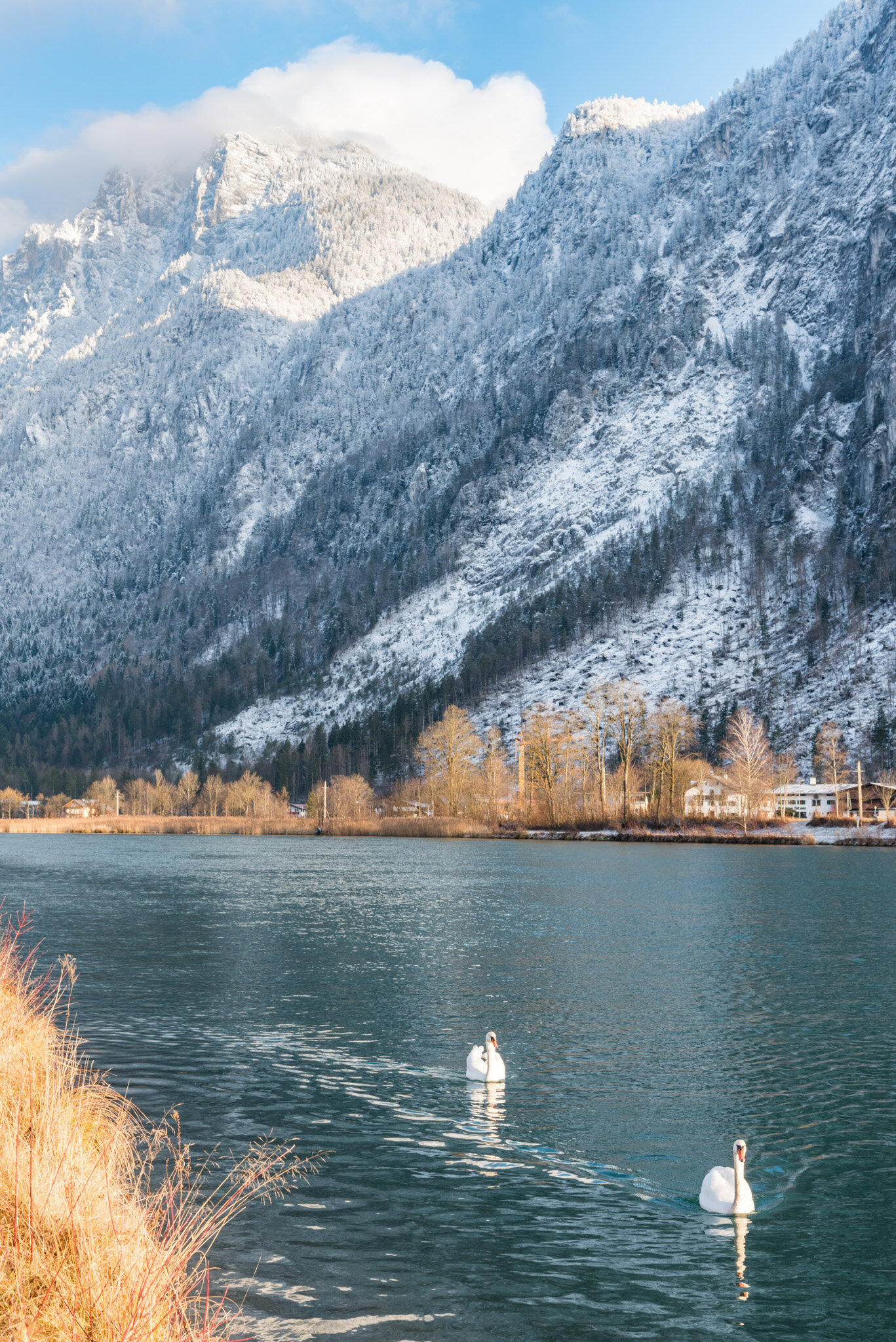
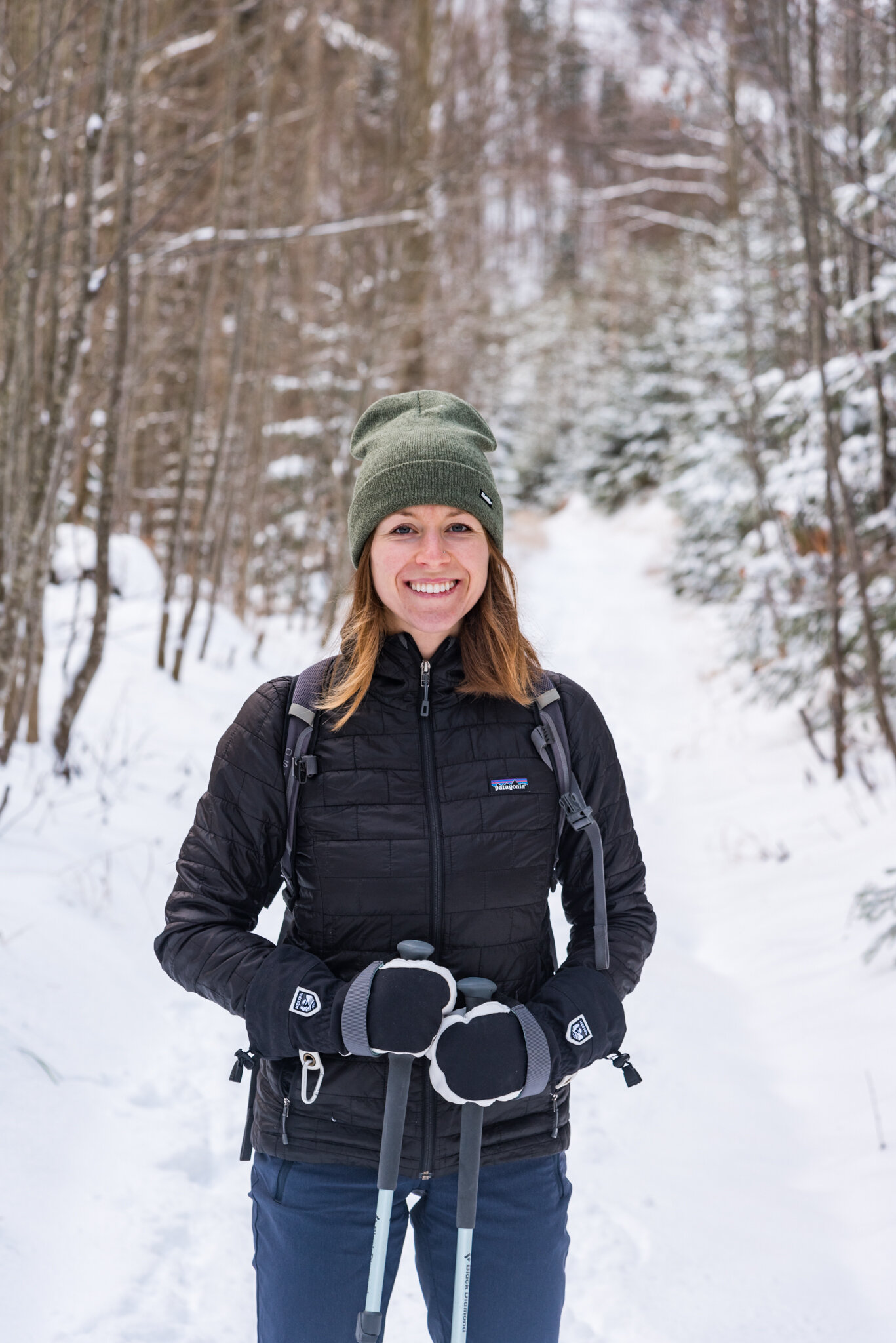
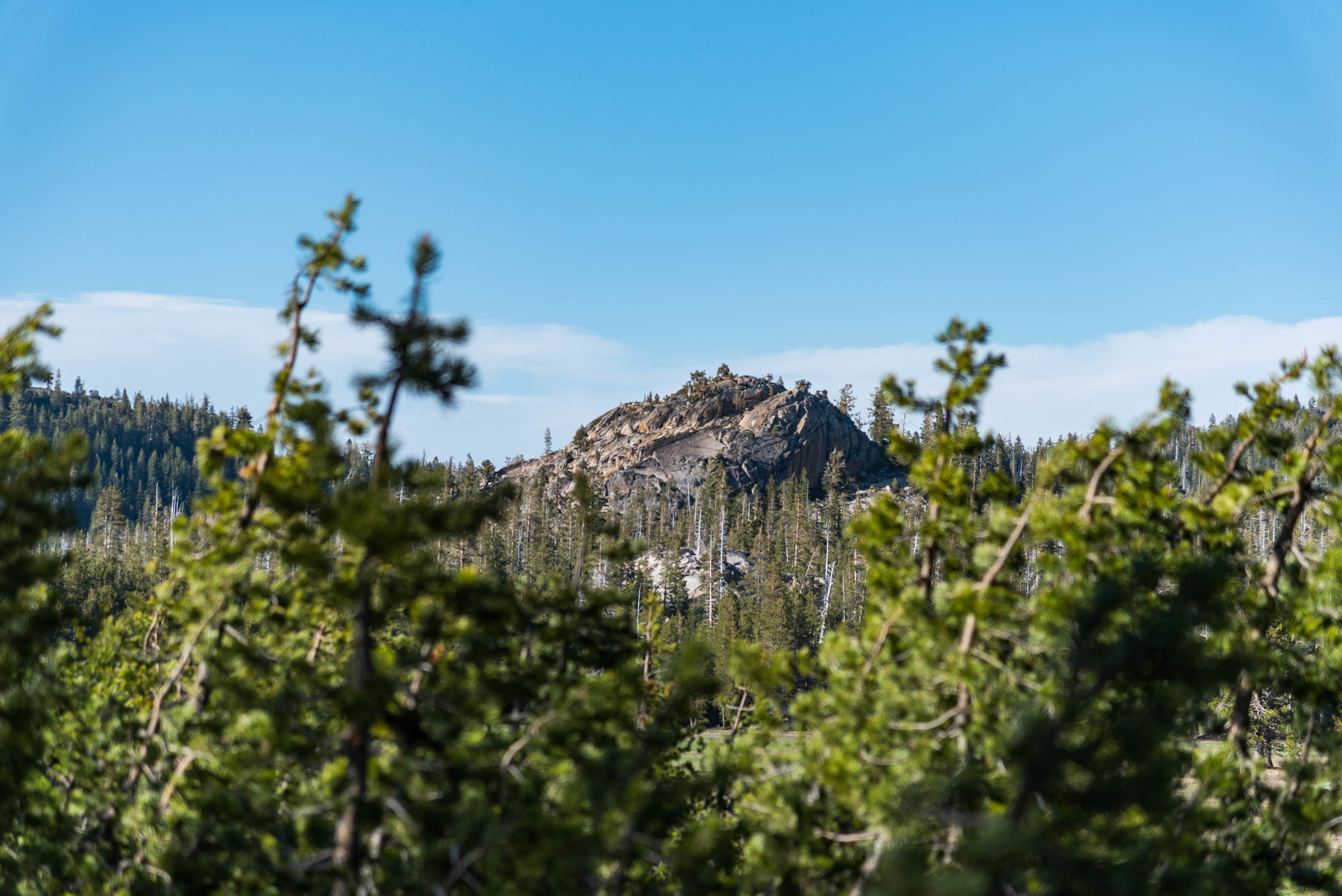
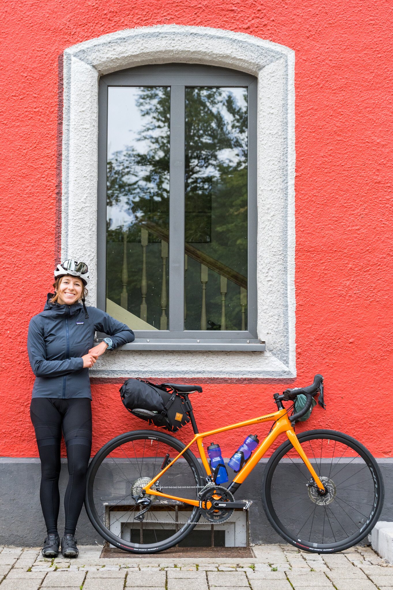
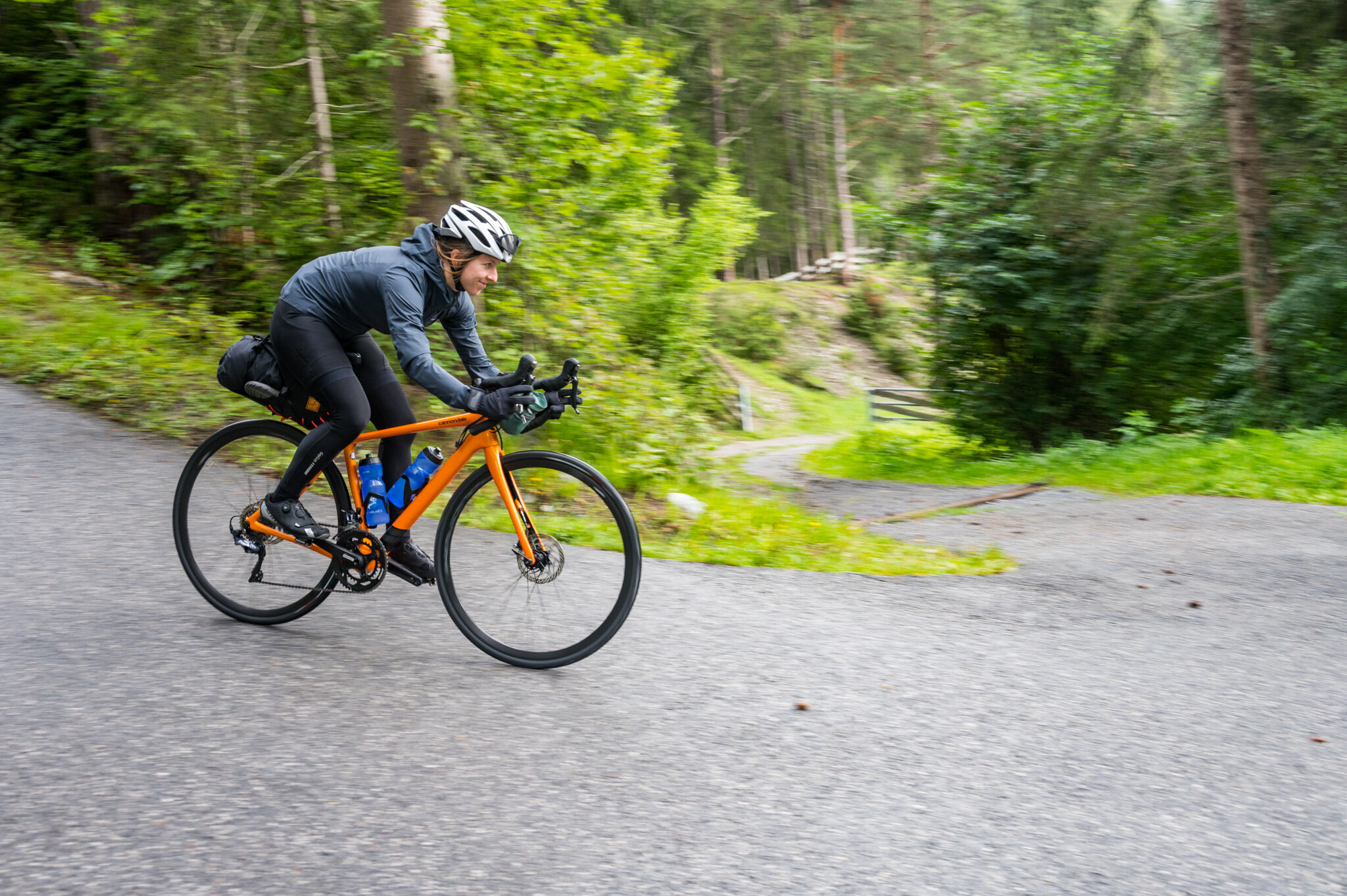
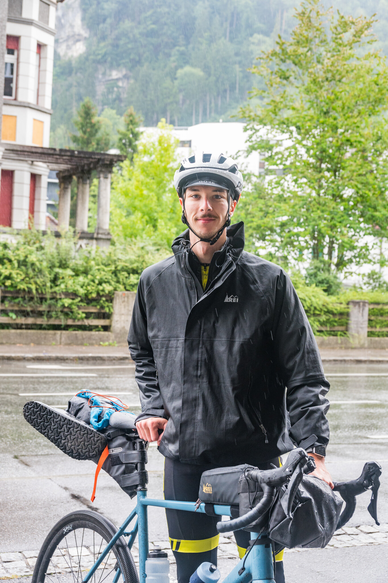
Susie and I pushed off on our bikes bright and early from Kiefersfelden, around 9 a.m. Within three minutes we were over the border in Austria—her house is practically on the border, it’s not that we were biking really fast. It was sunny, our legs felt fresh, and the bags on our bikes didn’t feel all that heavy, yet. It was just the start of our four day bike touring adventure, after all. The plan was to wind our way south from Kiefersfelden in southern Germany over the border into Austria before turning west to cross Liechtenstein (which doesn't take long, even by bike). Once in Switzerland, we planned to wind our way through the lake country to Zürich where we’d catch a train home. About 400 kilometers in all. We didn’t have any time to spare so we didn’t build in rest days or touristy activities along the way. The trip was set to be Type 2.0 fun all the way and we were stoked.

Day 1

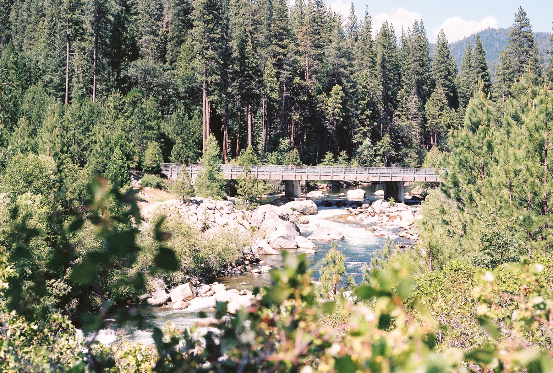
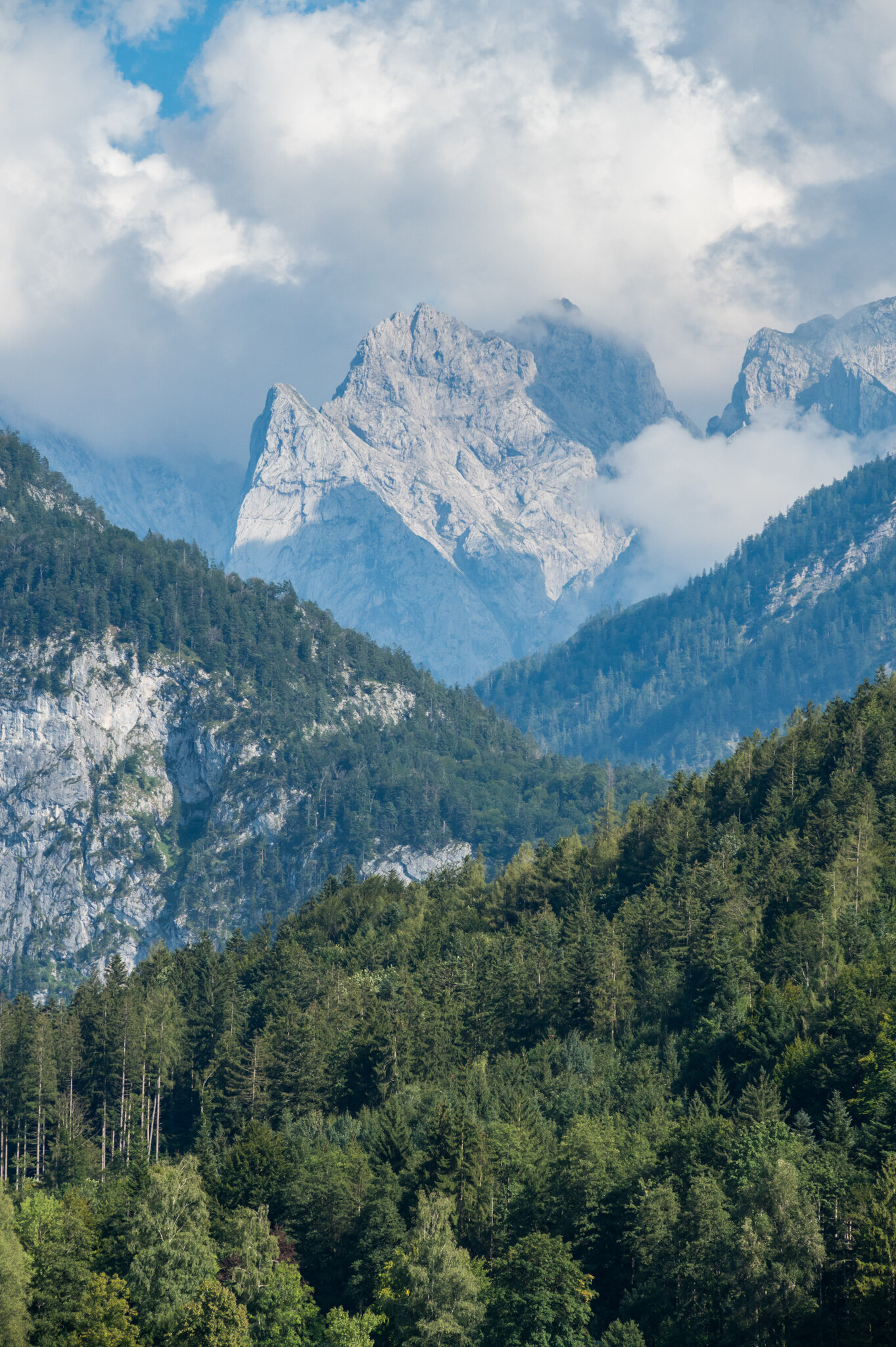
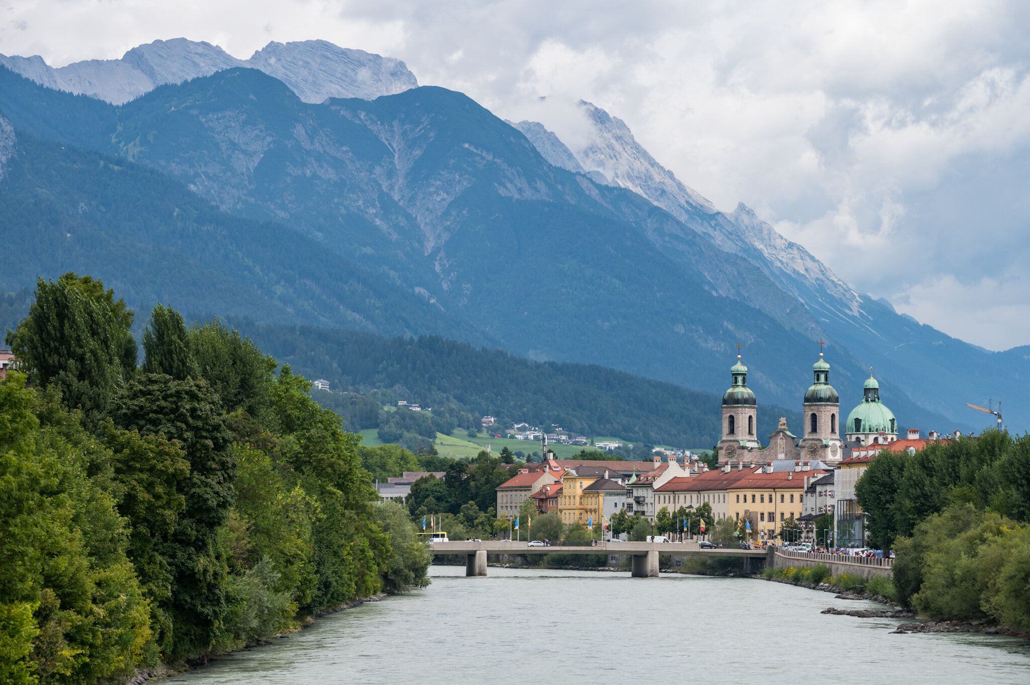
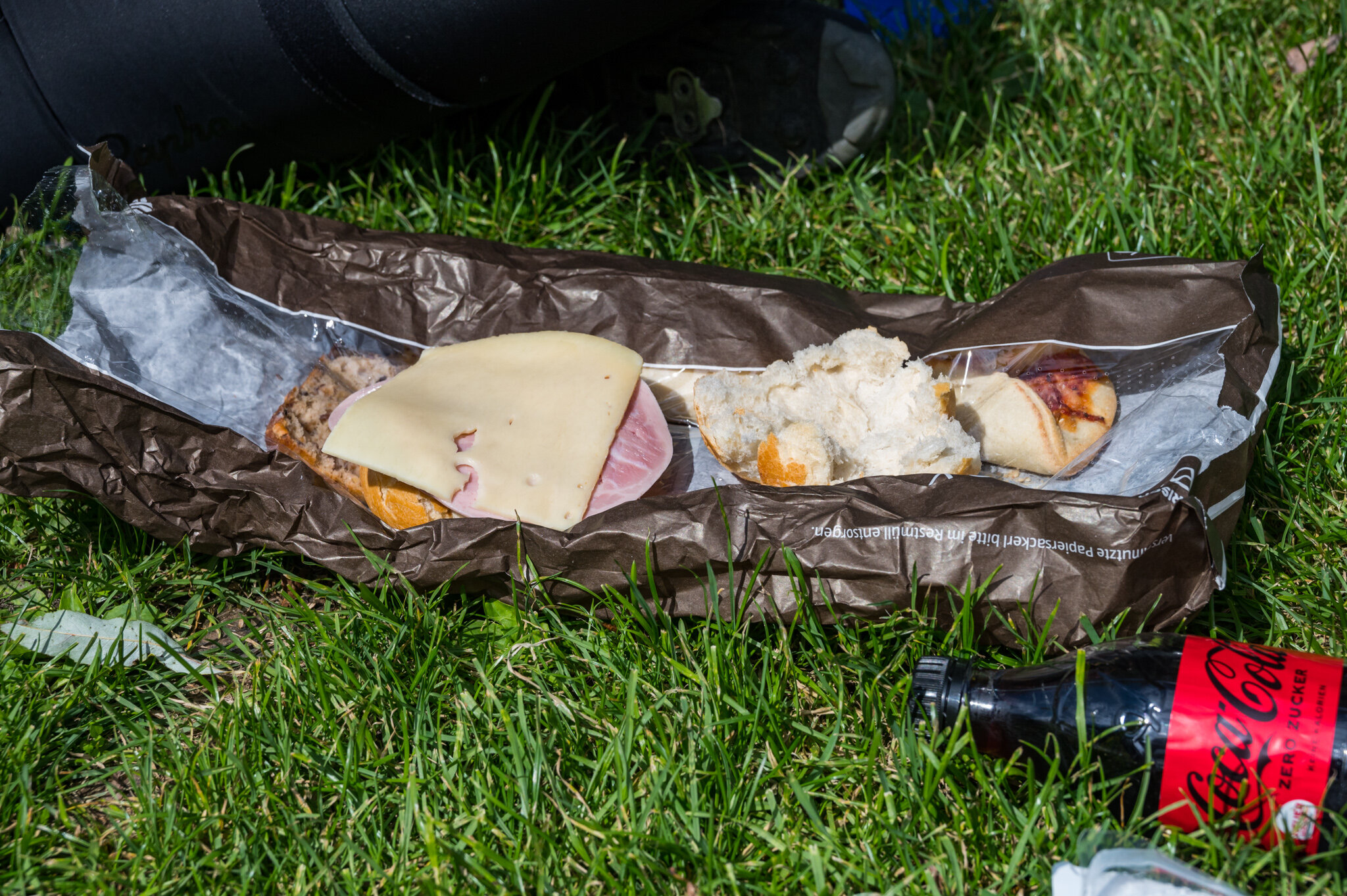
After crossing the border to Austria, Susie and I made good time to Innsbruck, where we stopped for a grocery store smorgasbord of ham, cheese, and bread. With 85 km behind us and another 65 km to go we hopped back on the bike in good spirits. Our elevation slowly started to increase as we made our way to Imst.

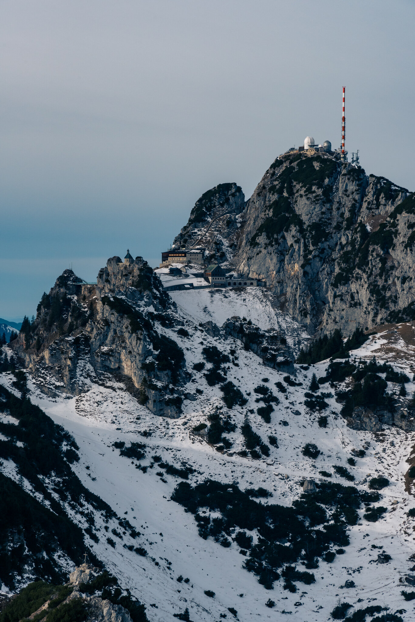
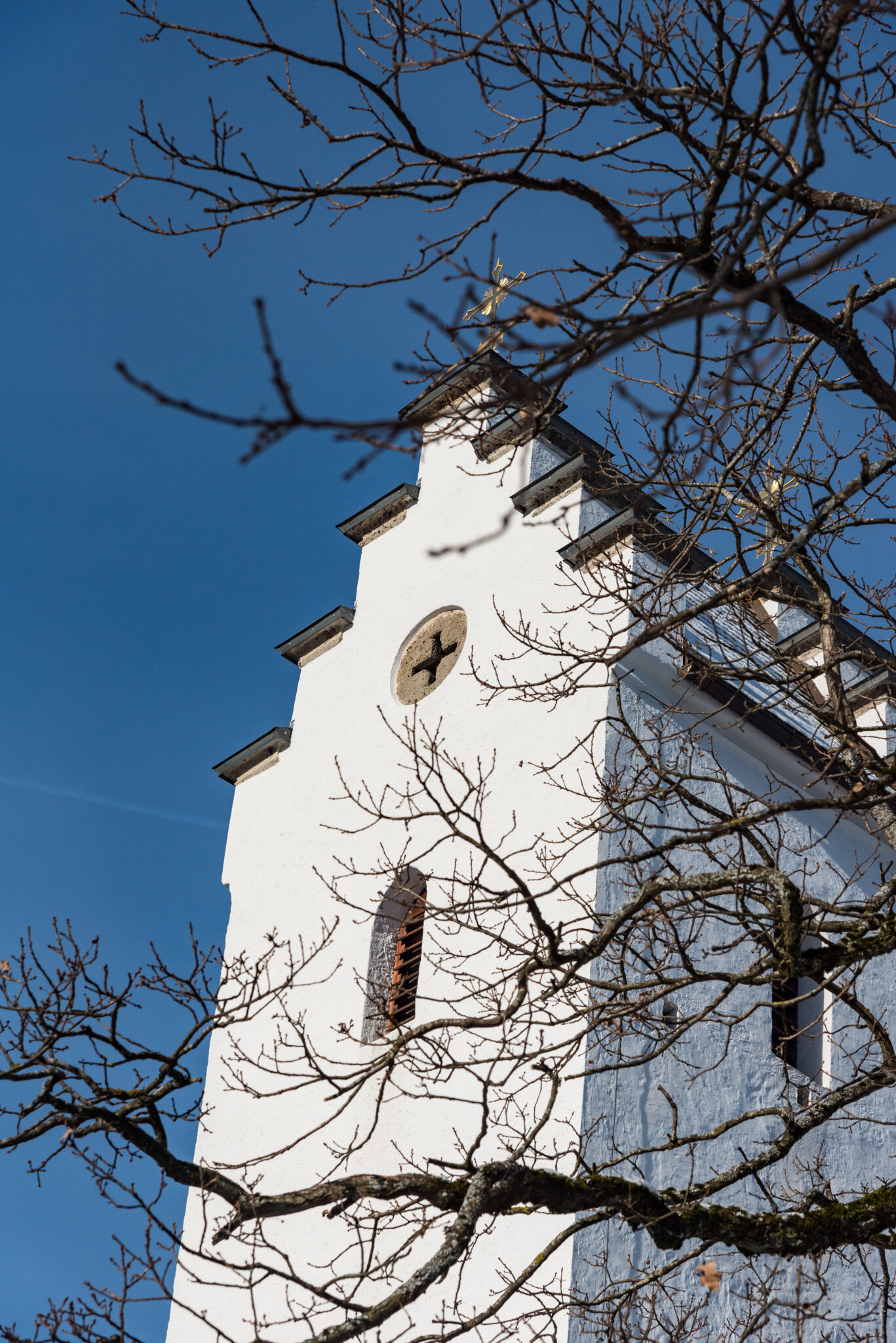
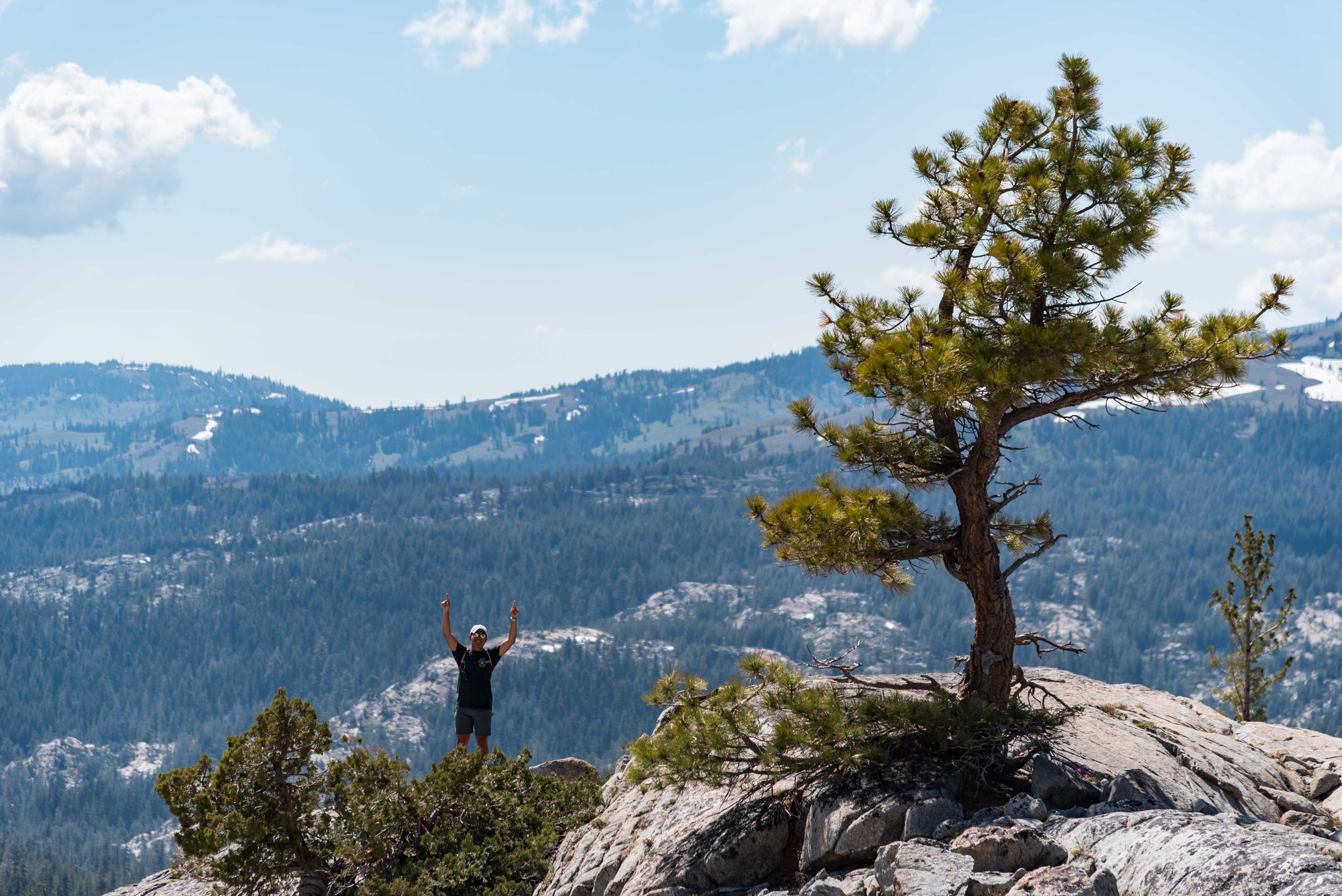
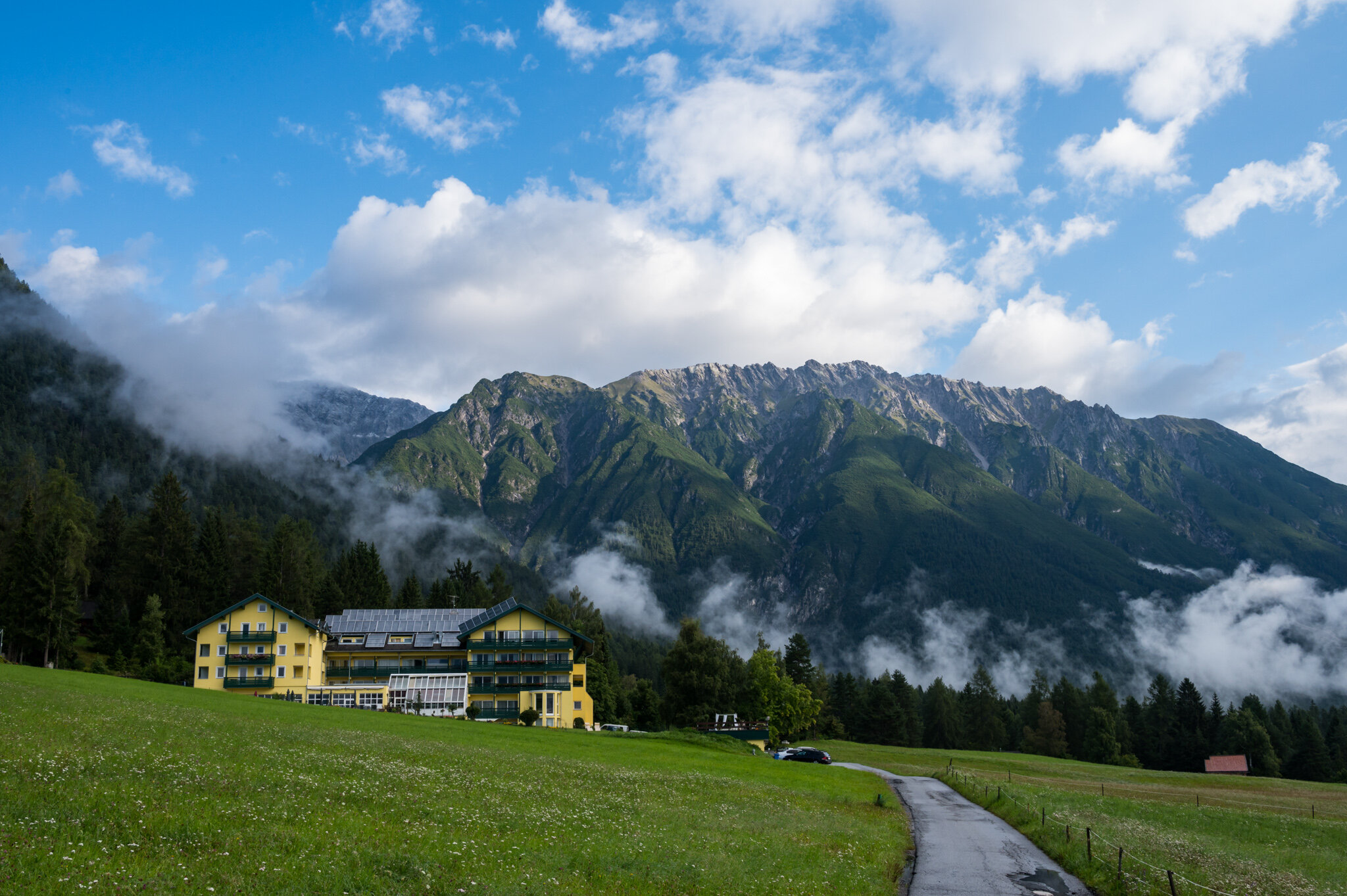
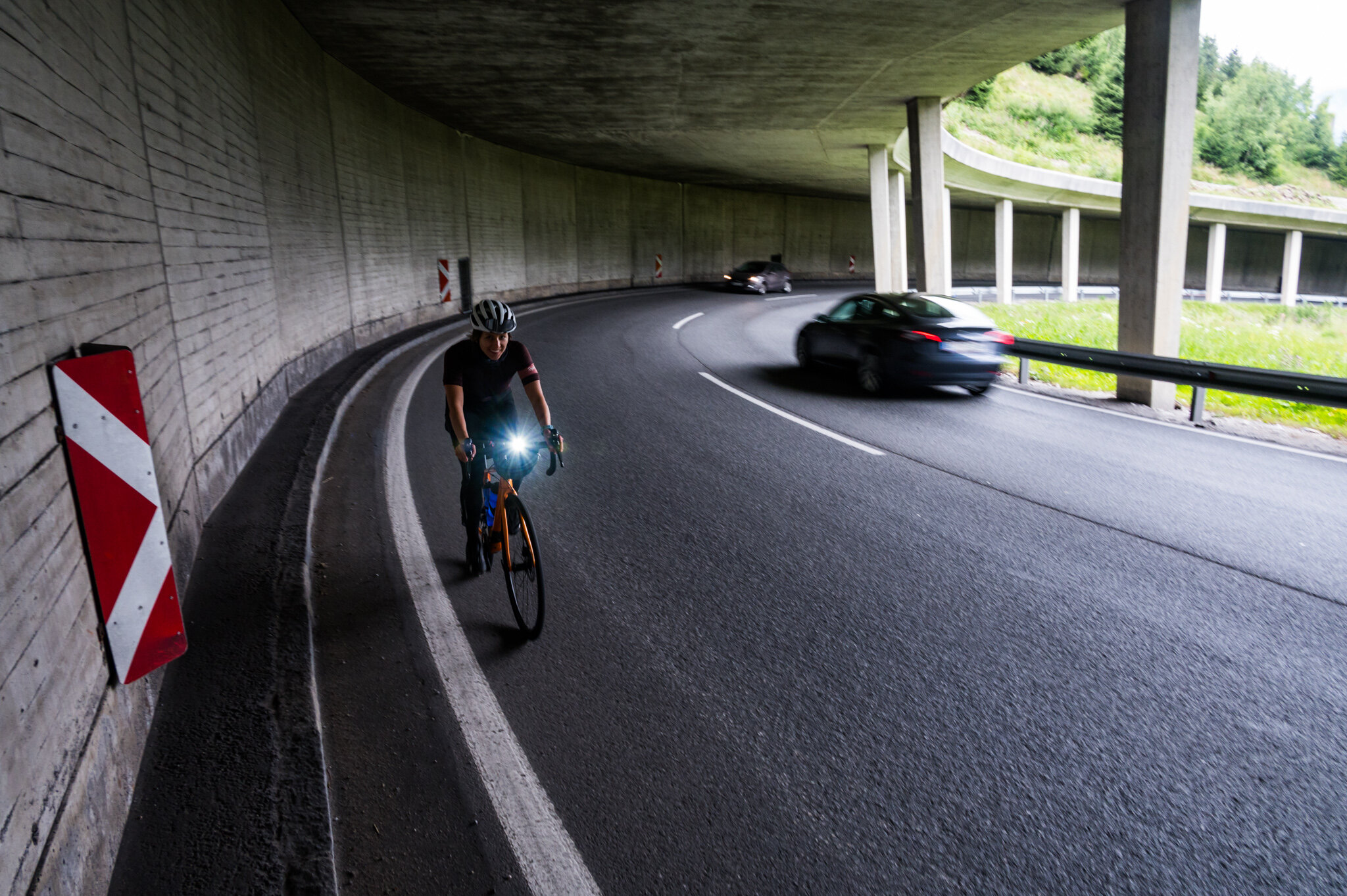
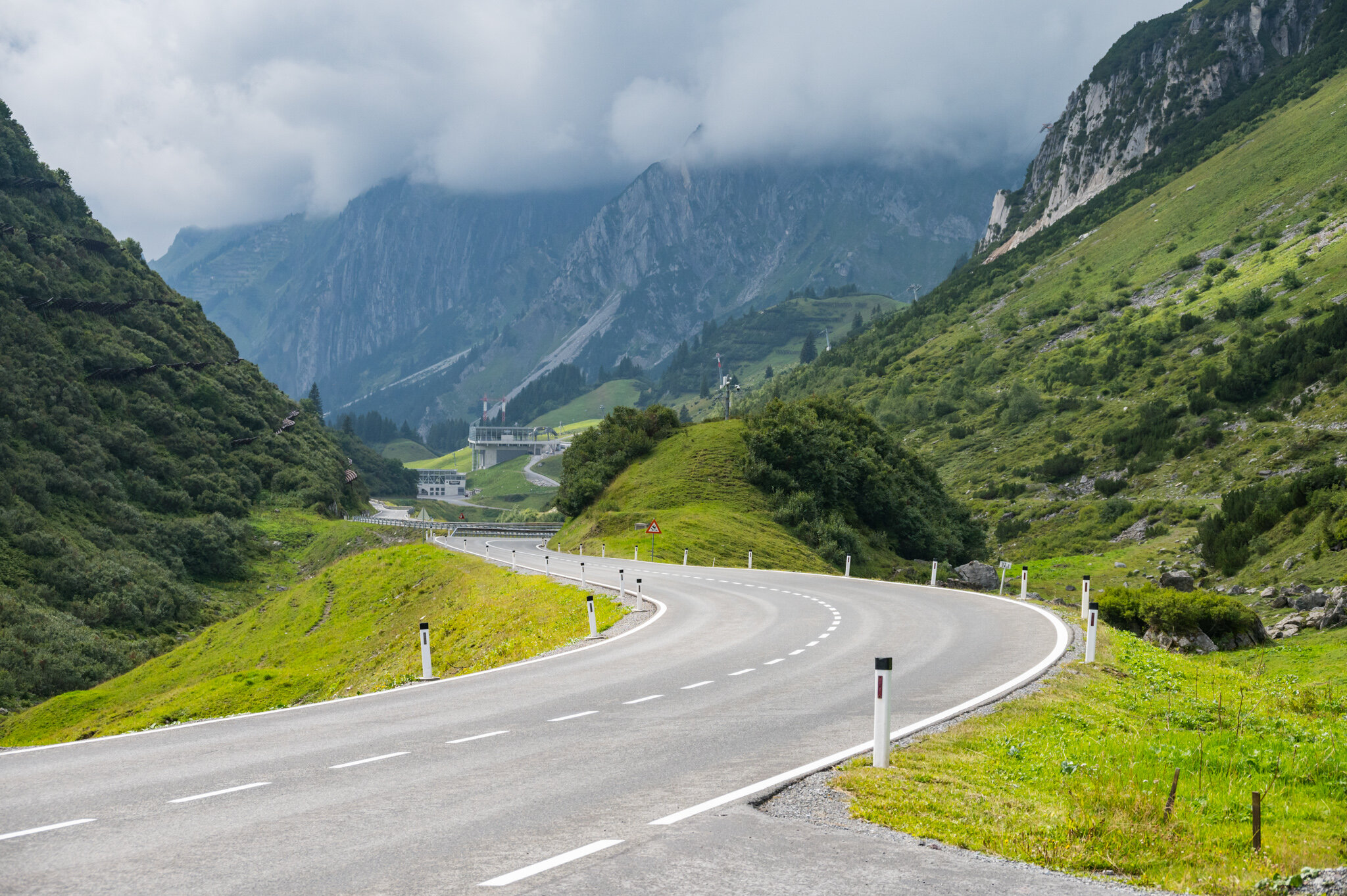
We climbed over a mountain pass with cars and trucks whizzing by us. Luckily this was one of the only parts of the ride with no bike lane. After descending into Imst I thought we were done, we were so close to our destination. But in the last 5 km we climbed straight up, sometimes at a 15% grade. We gained 400 meters (with many breaks in between) to our hotel in the mountains. I was huffing and puffing. It was already my longest ride ever, and now it included the most elevation I’d ever climbed as well, 1,296 meters. The effort seemed more worth it when the server at the hotel restaurant treated us with complimentary schnapps (which everyone got, it had nothing to do with us biking up the hill to the hotel).

I took a hot bath to ease my tired muscles but no position seemed comfortable for my legs so I gave up and dried off. We both climbed into bed and promptly passed out.

Day 2

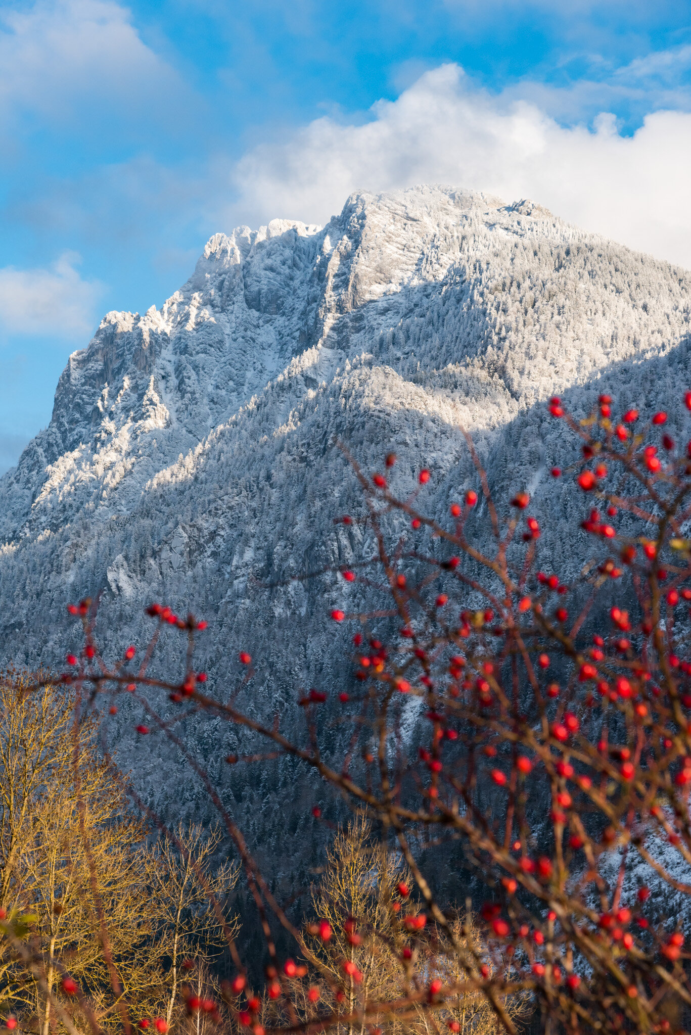
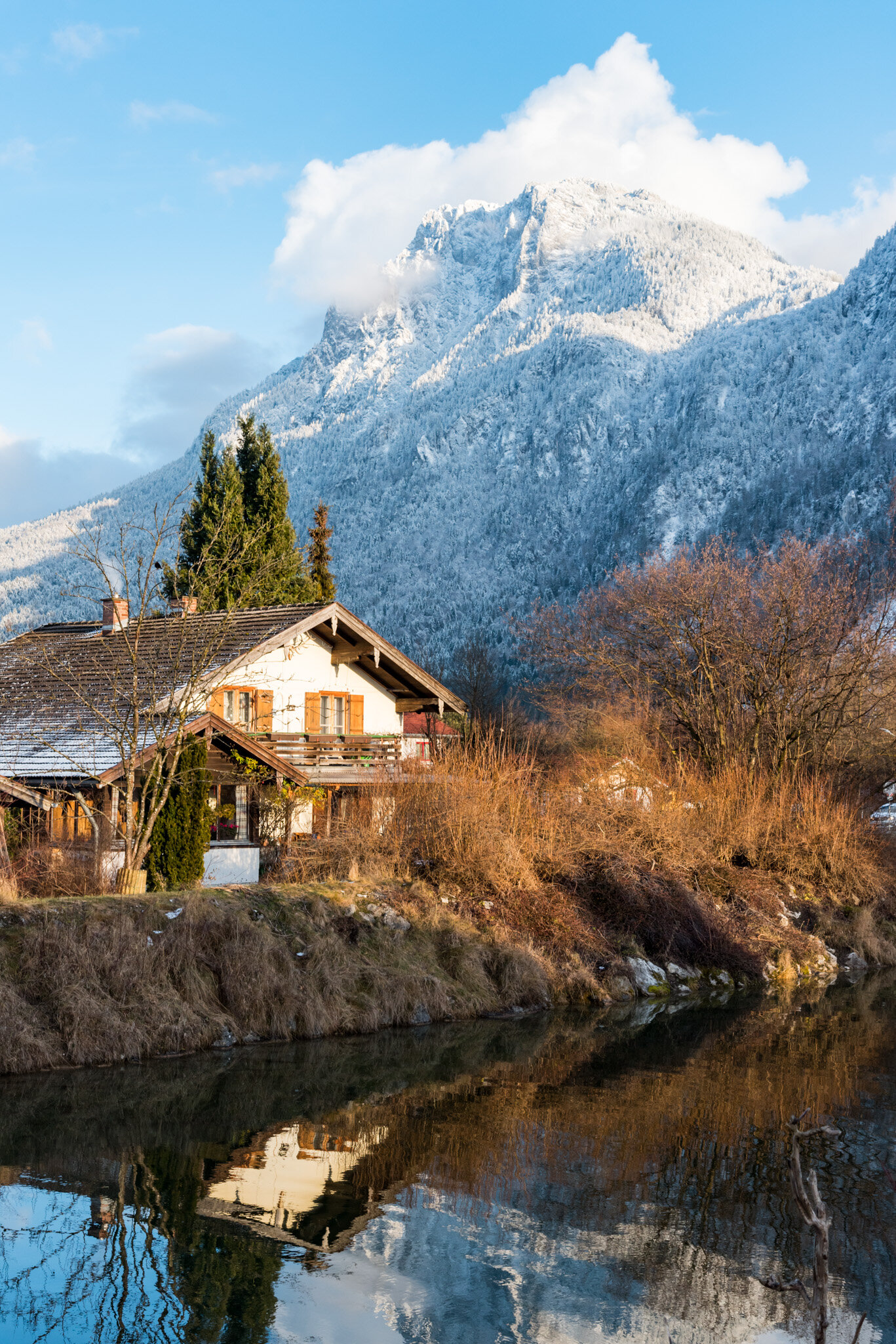
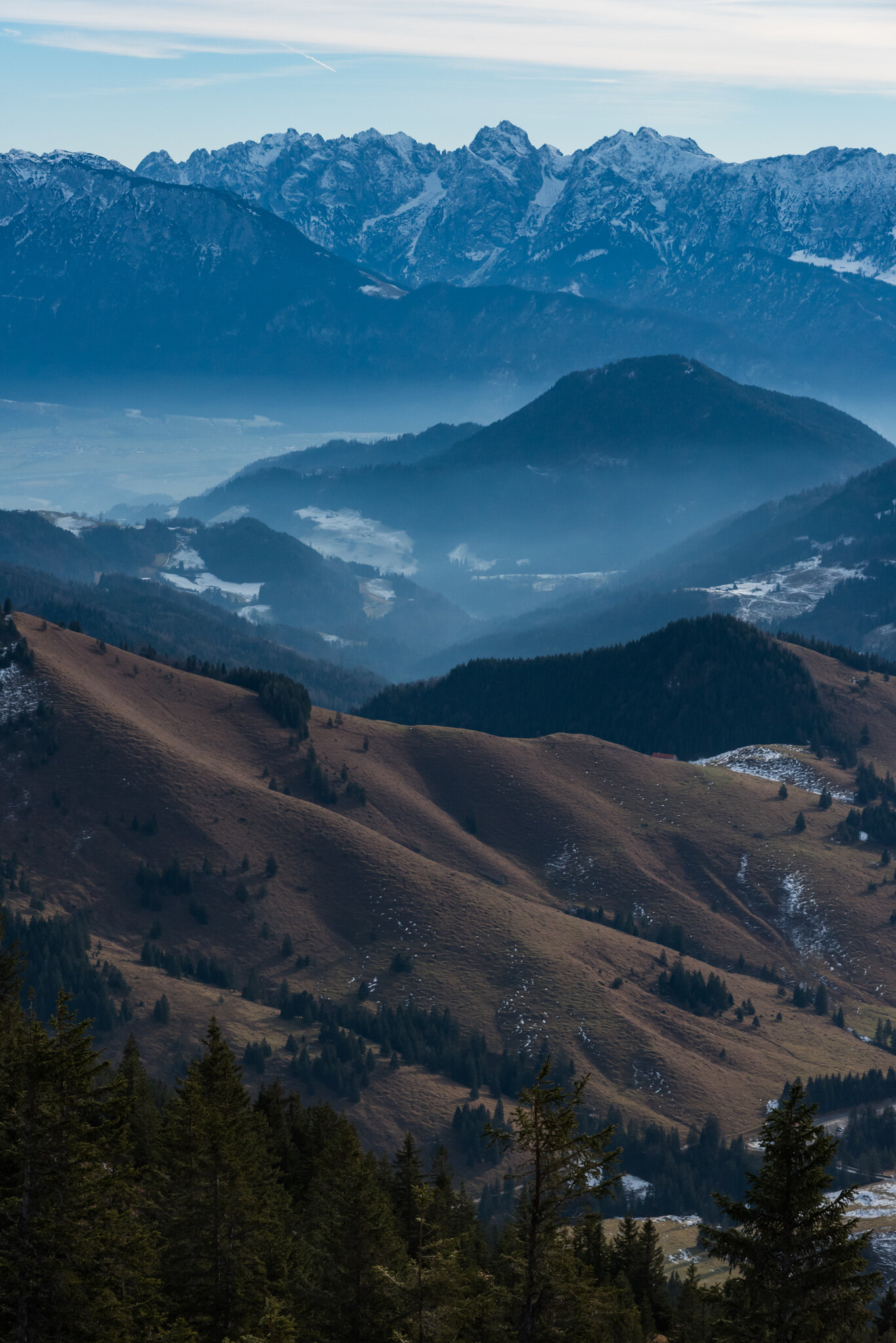
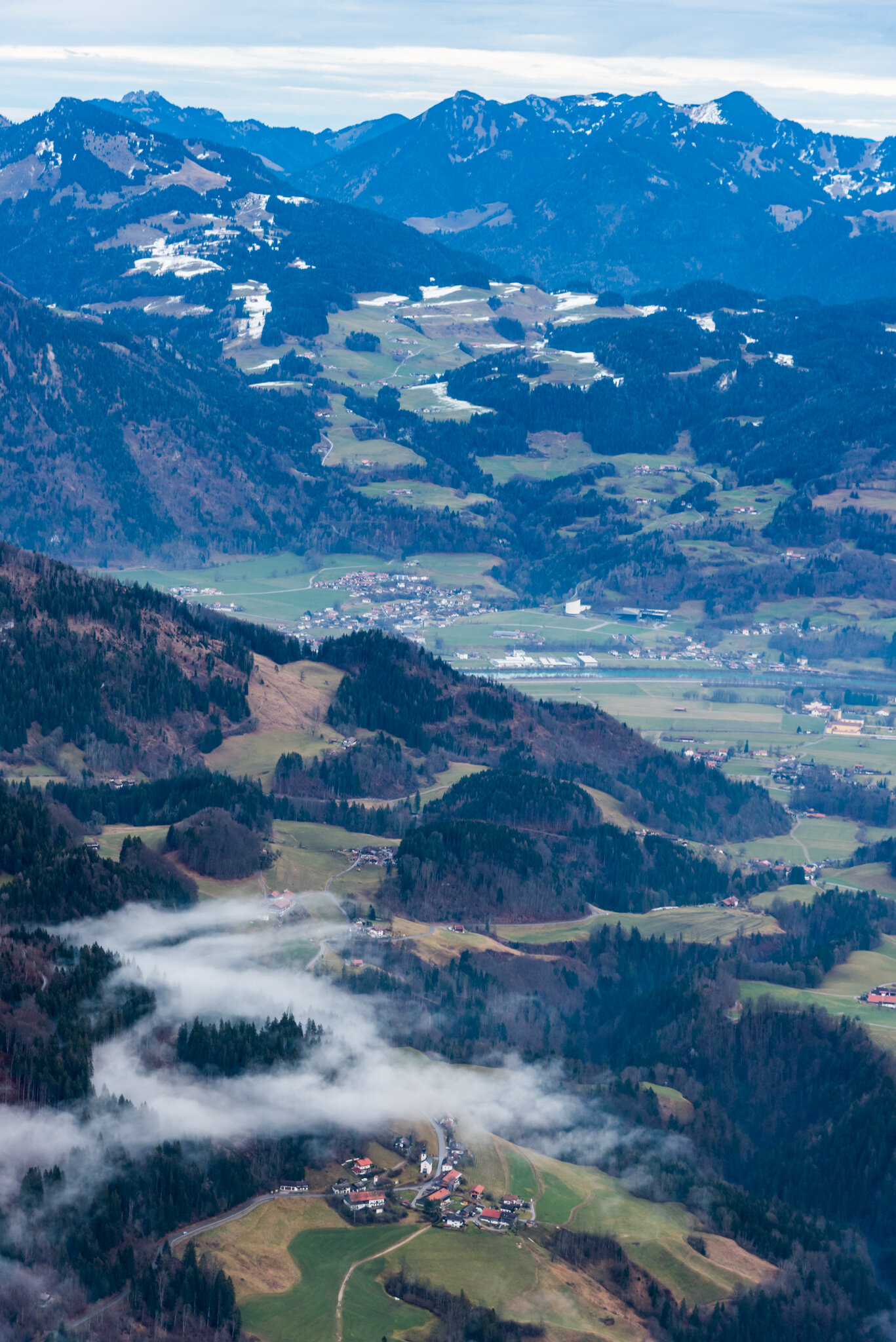
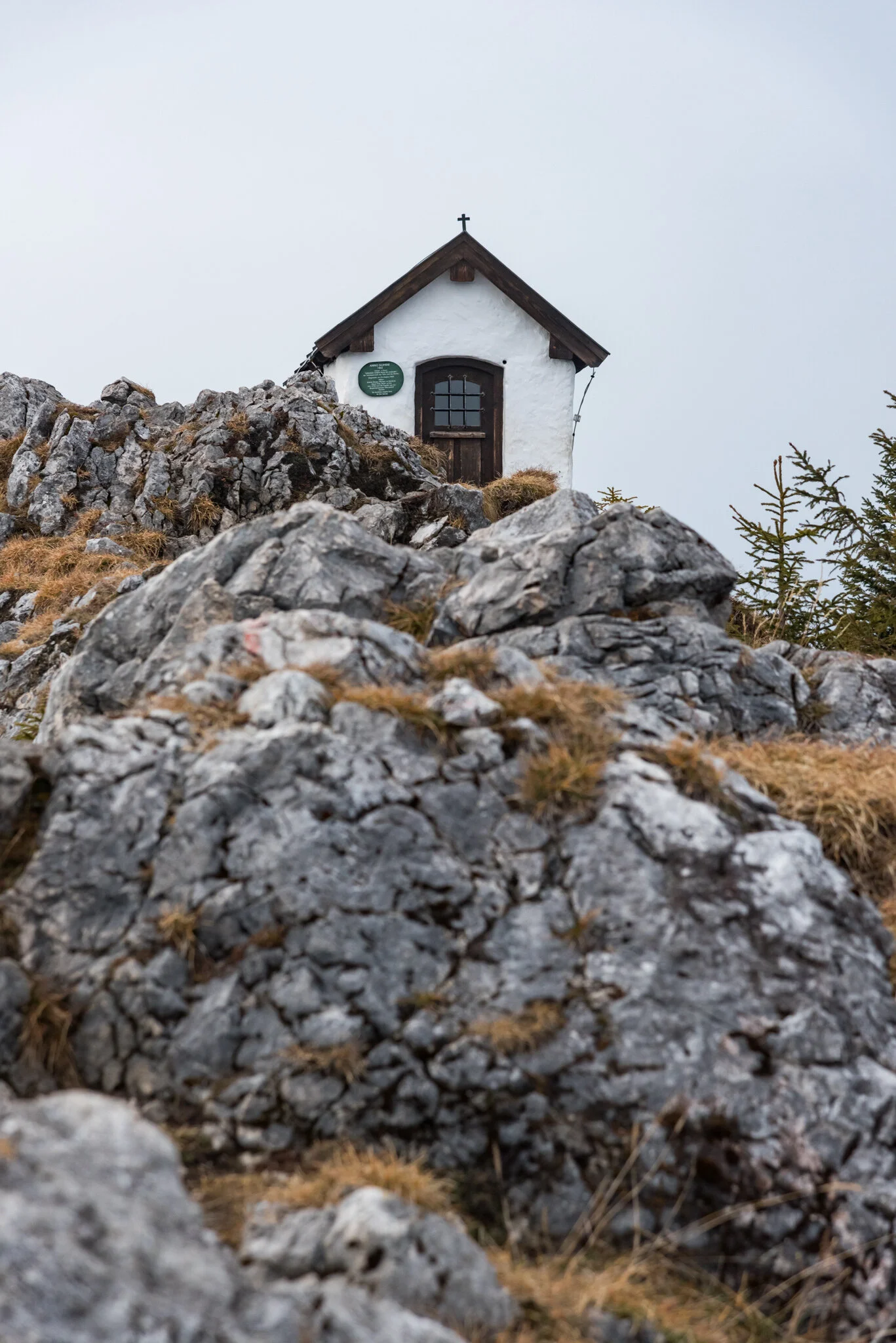
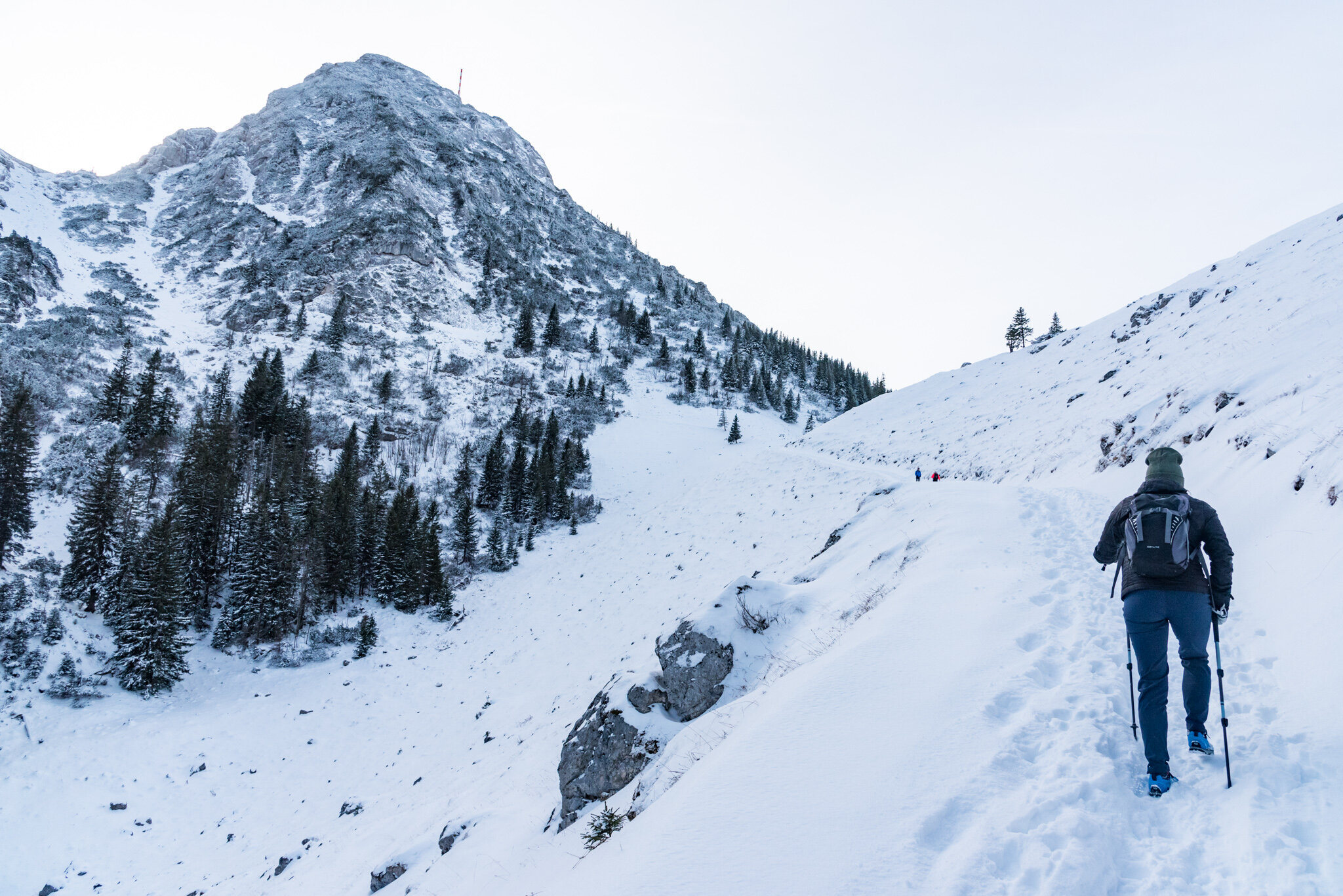
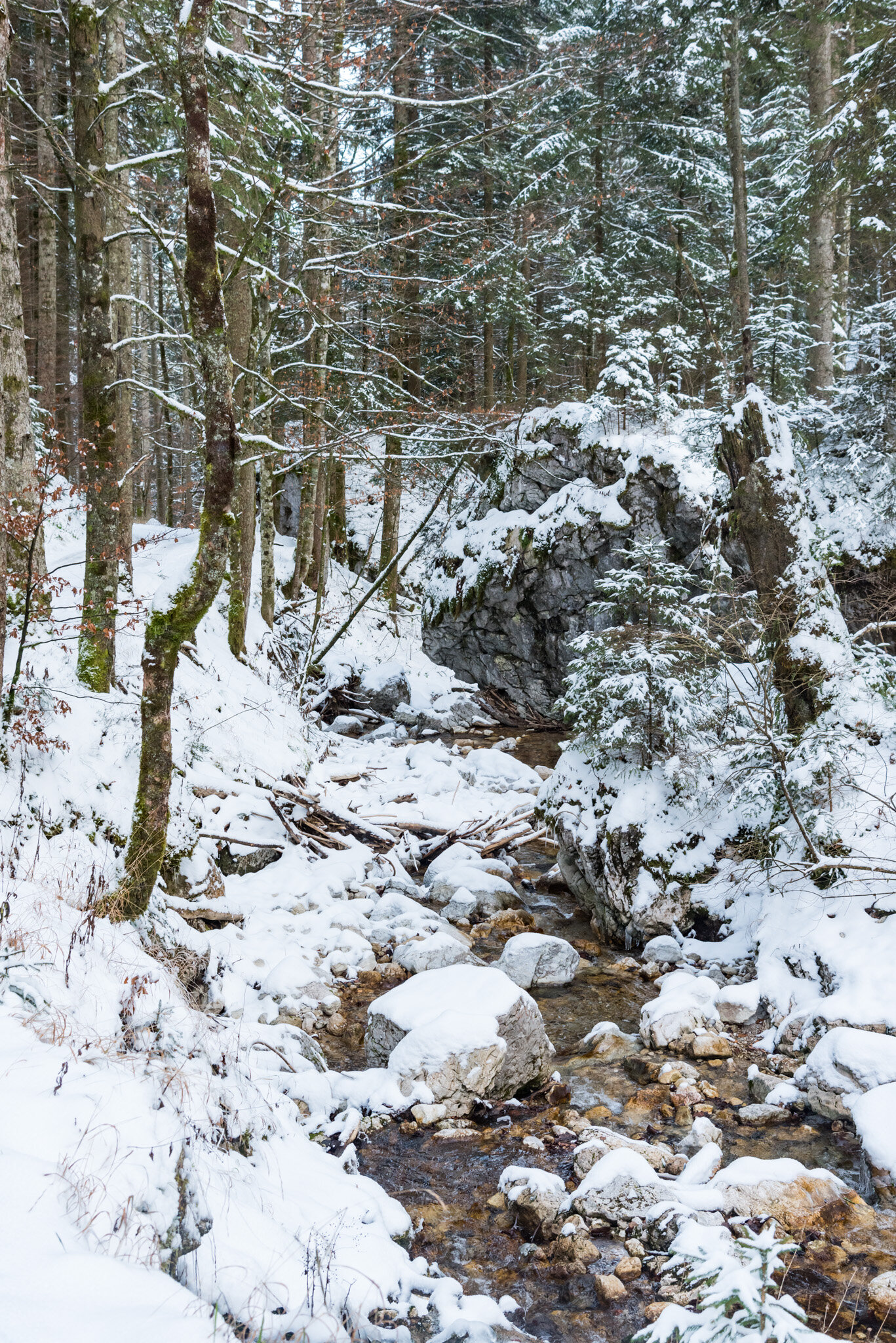
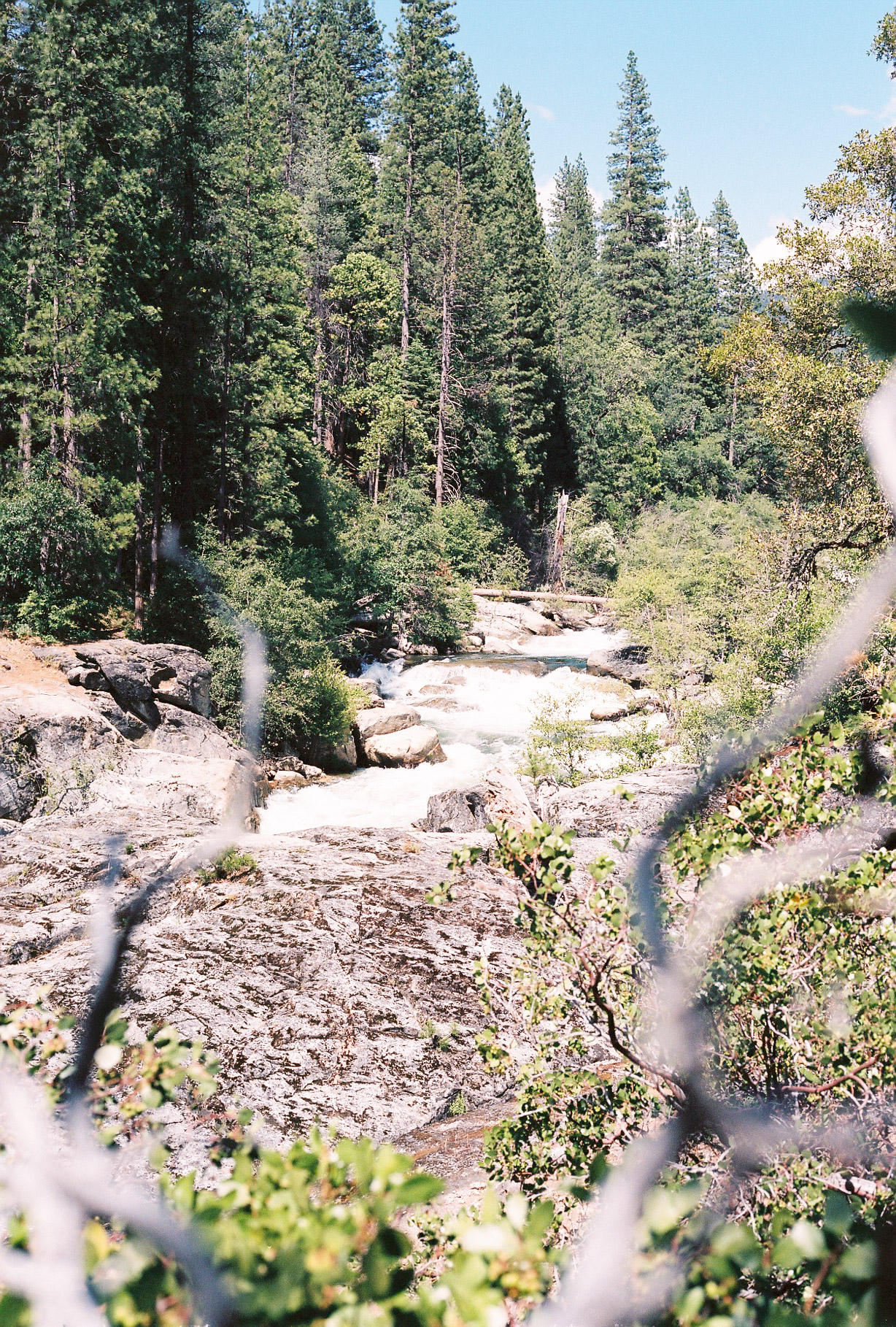
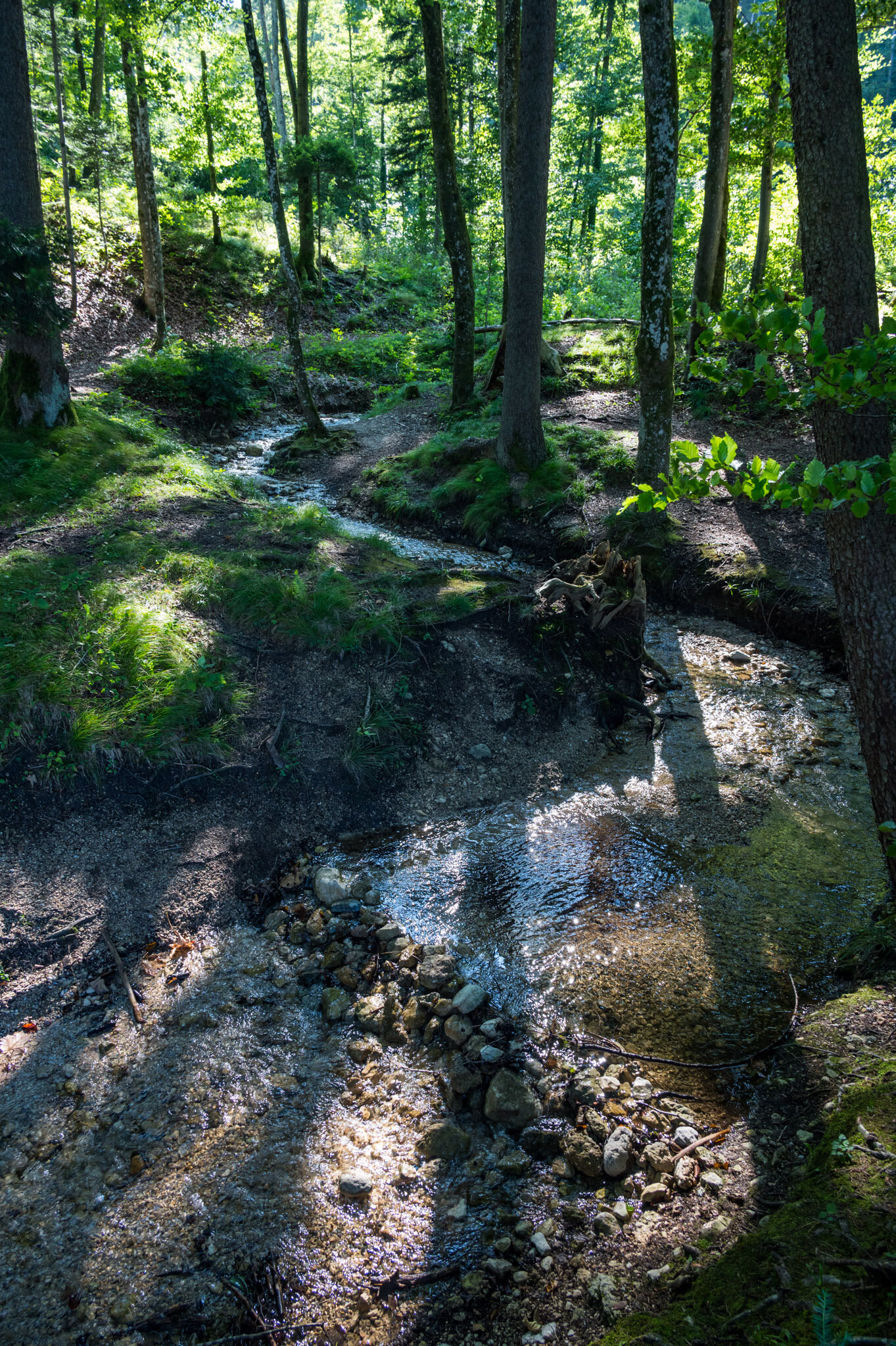
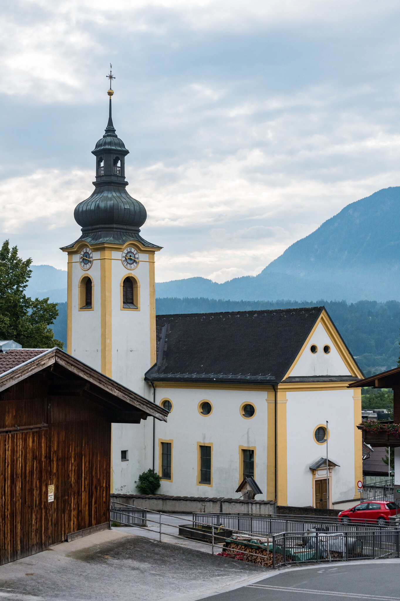
Day 2 was set to be significantly easier than the first. A rest day, if you will. 68 kilometers from our hotel above Imst to a small hut in the mountain town of Stuben. We started off by descending the hill we’d worked so hard to climb the day before. Today, though, it was wet with morning dew and a sketchy route to ride. We didn’t spare a moment's thought for the alpine landscape spread out in front of us; or the charming town of Imst that we sped through on our way to the river at the bottom of the valley.

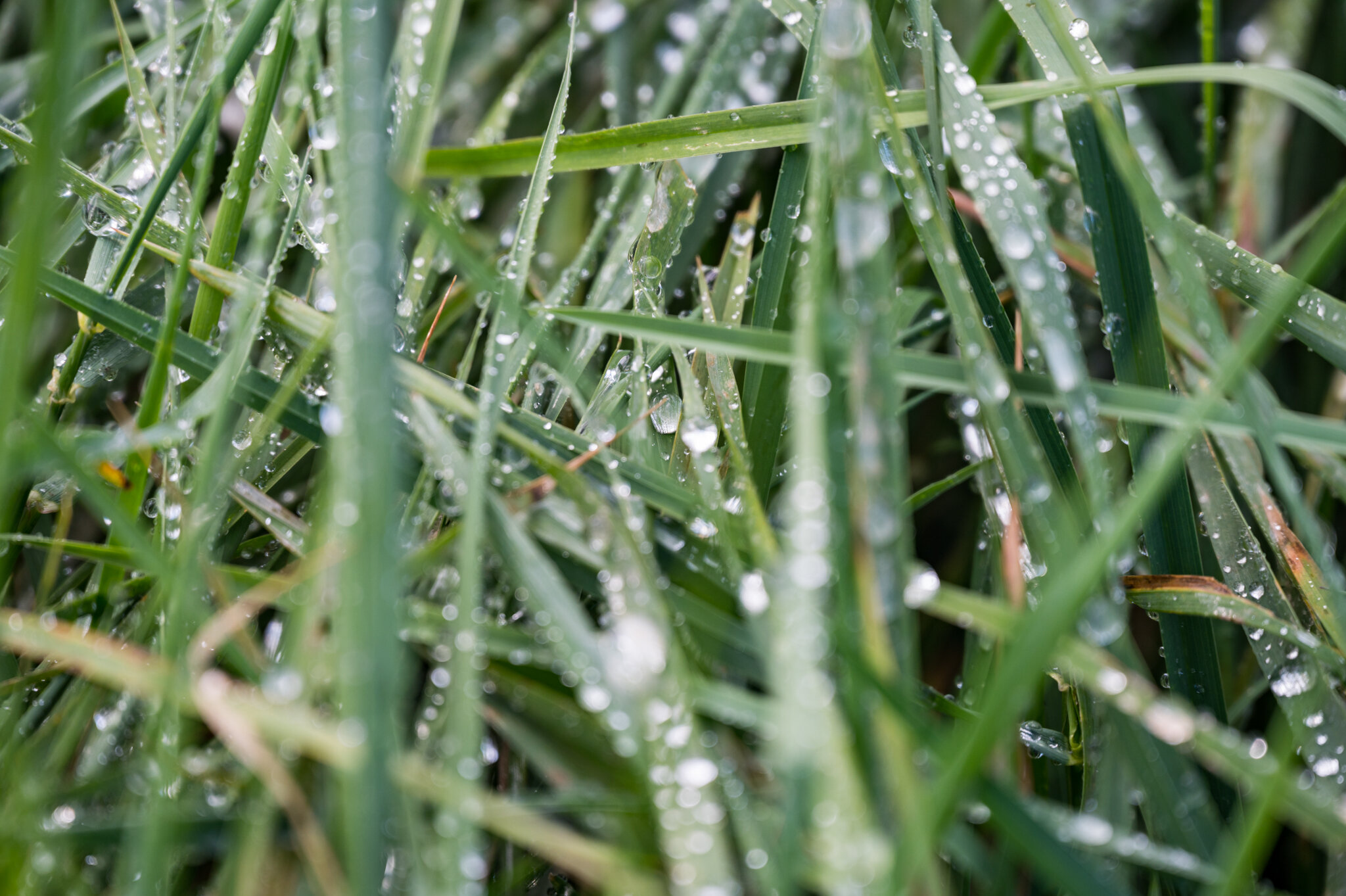
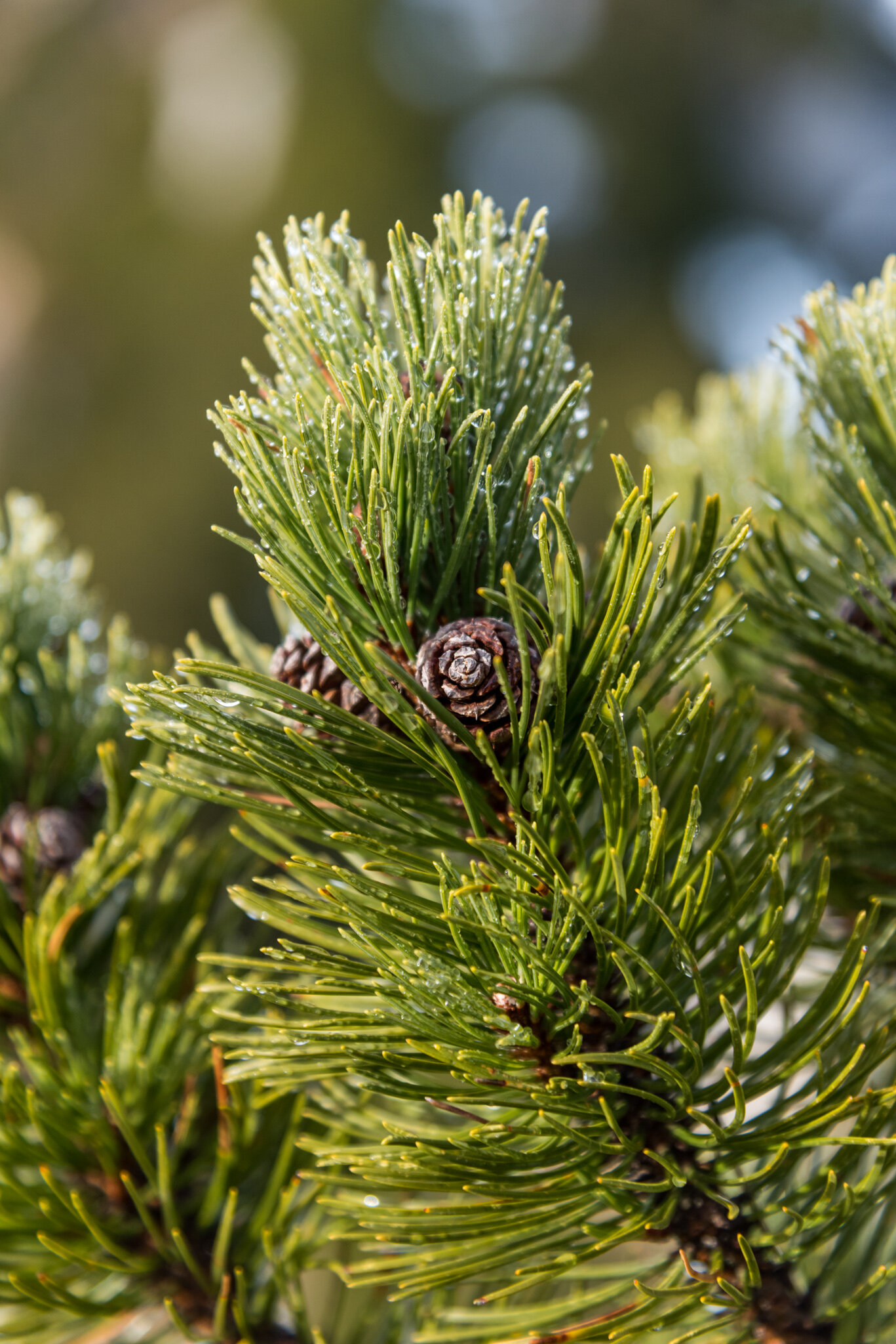
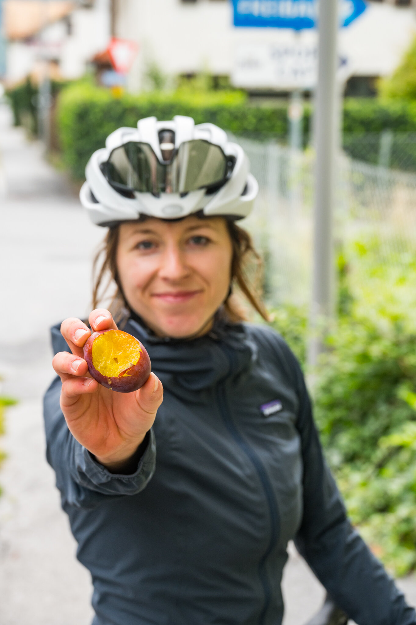
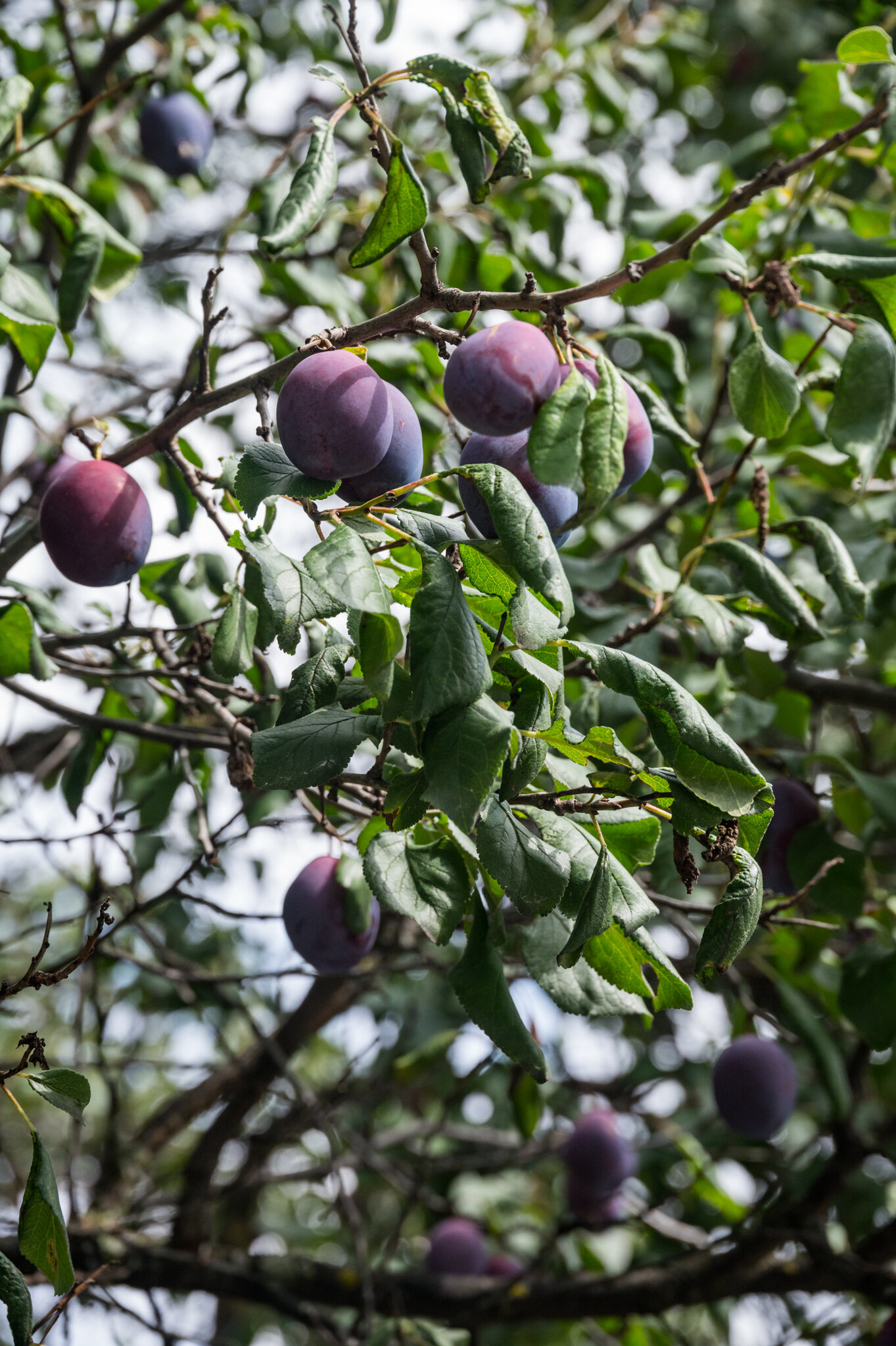
As we followed the river’s path up into the mountains we stopped and snacked on all manner of fruits from the local orchards. A local Oma (grandma) told me that as long as the branch hangs over the fence onto the road it’s fair game, so we enjoyed the apples, plums, and pluots guilt-free.

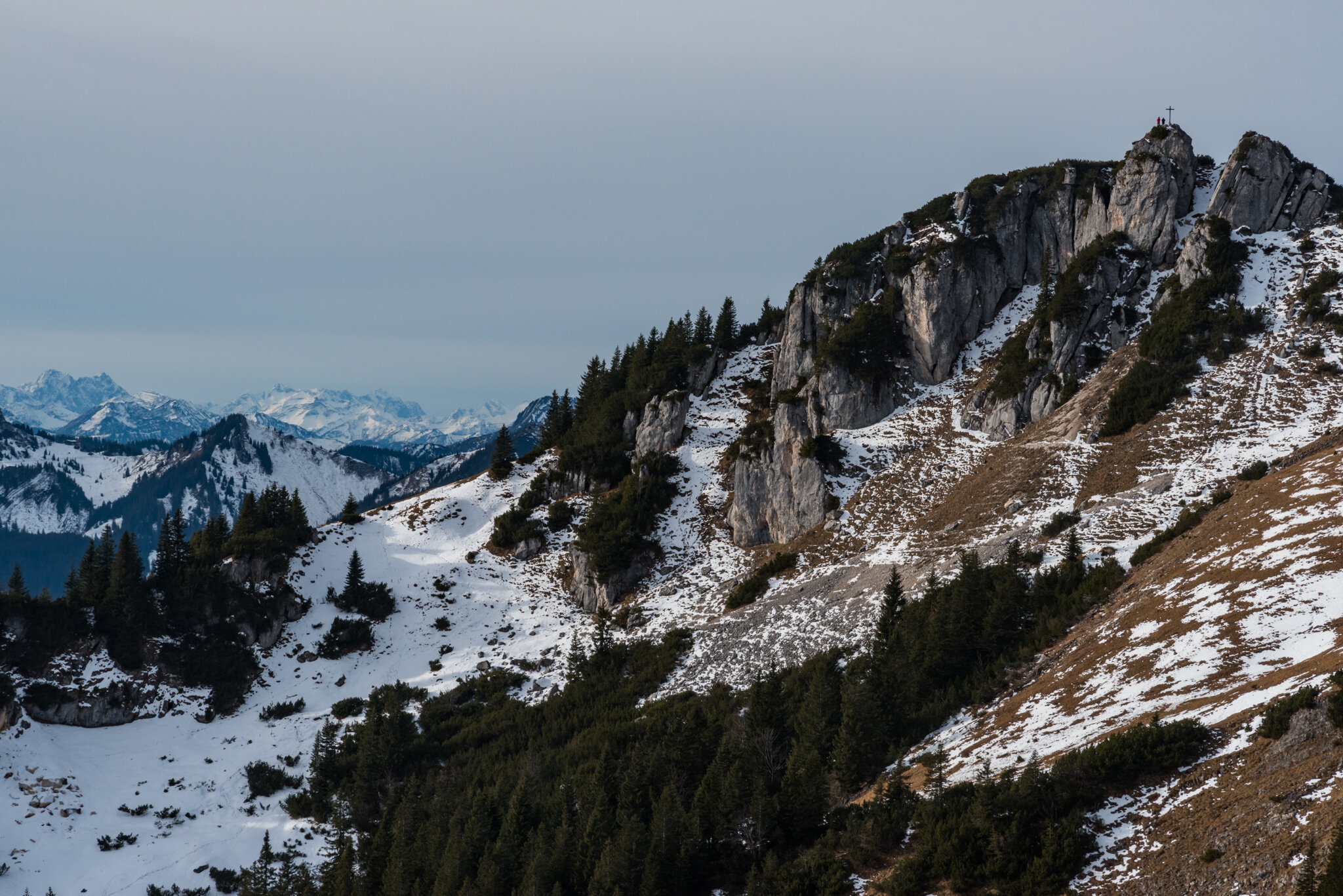
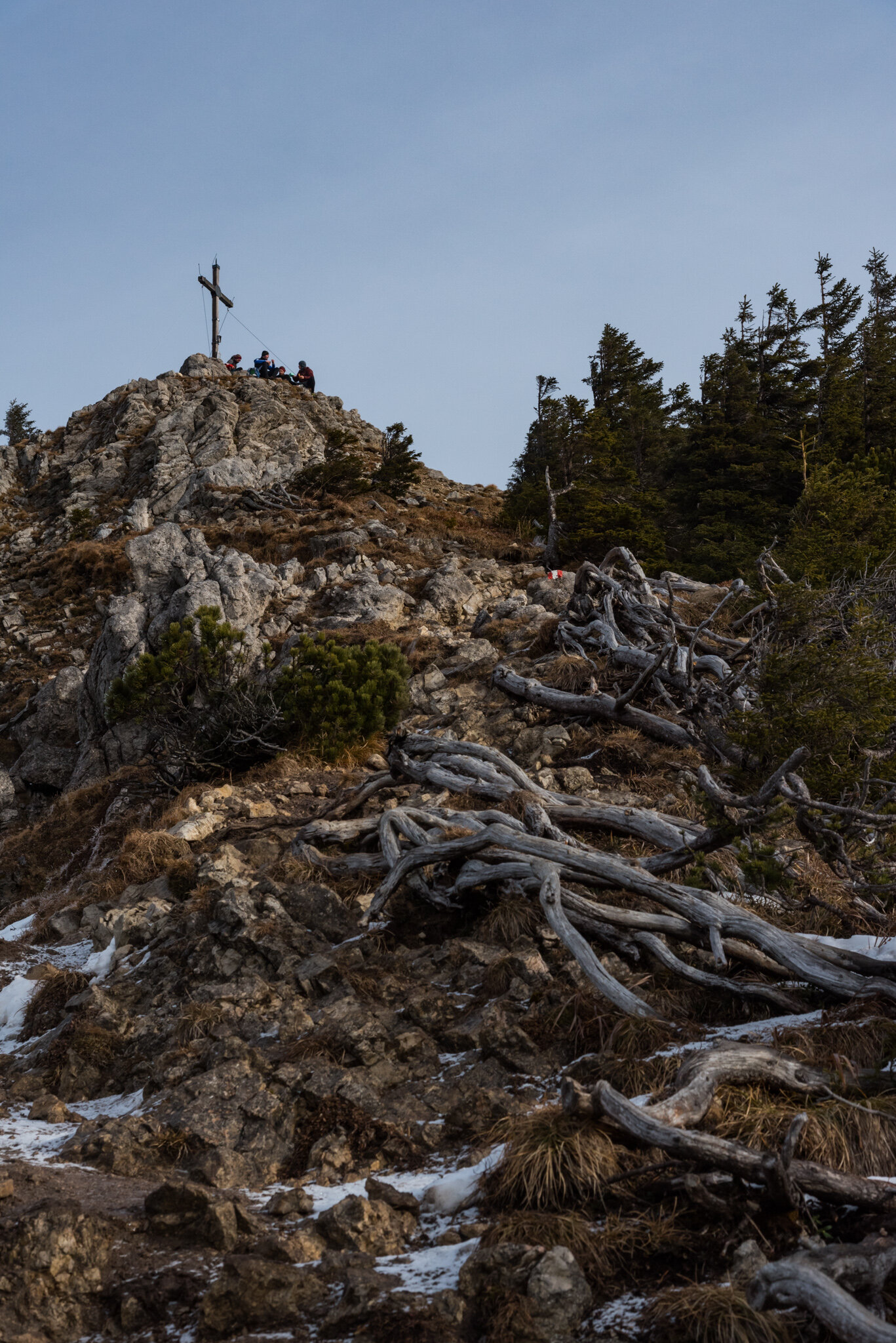
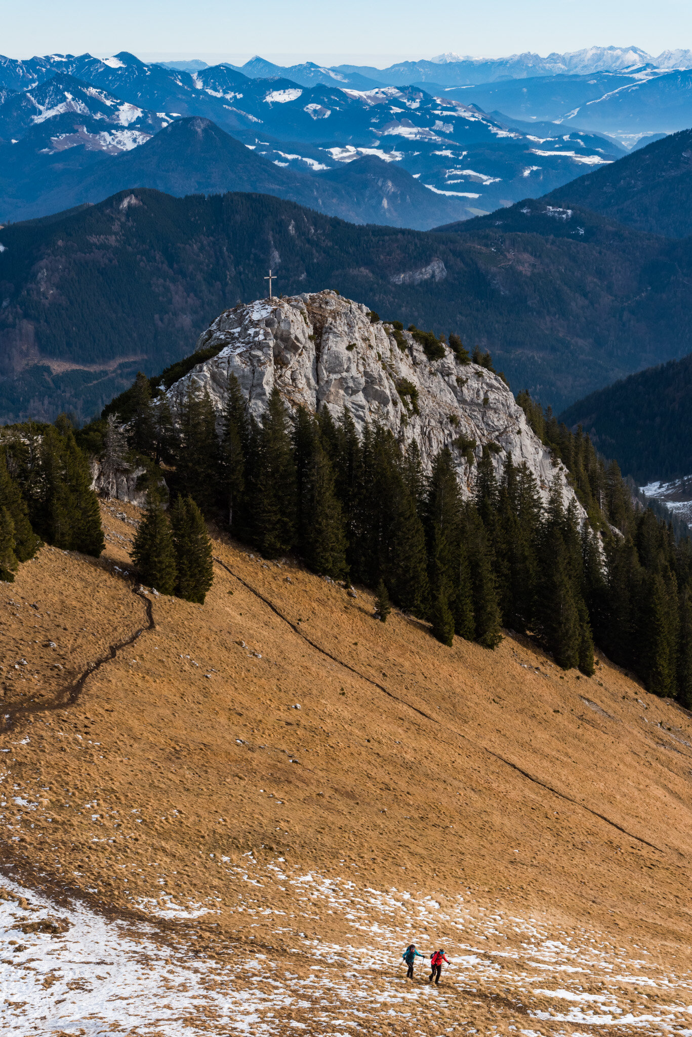
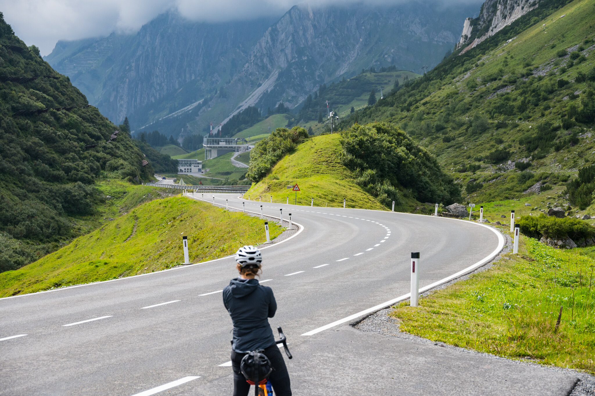
With the daring descent completed we breathed a sigh of relief, but Susie wouldn’t let me off too easily, even on a rest day. The route included a climb over the St. Anton am Arlberg pass, aka another 1,279 meters of climbing for the day. Our reward for the climb was another picturesque, speedy, and very chilly descent down to our hut in Stuben.

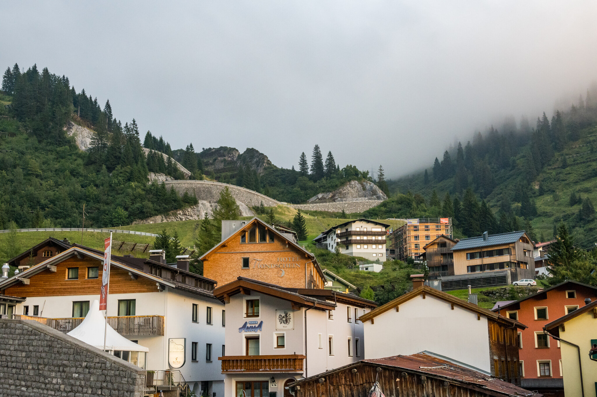
After a hot shower and thirty minutes curled up in our puffy jackets under the bed sheets we ventured out to one of only a handful of restaurants open in town that night. We stuffed ourselves to the brim and then rolled out and back into bed.

Day 3

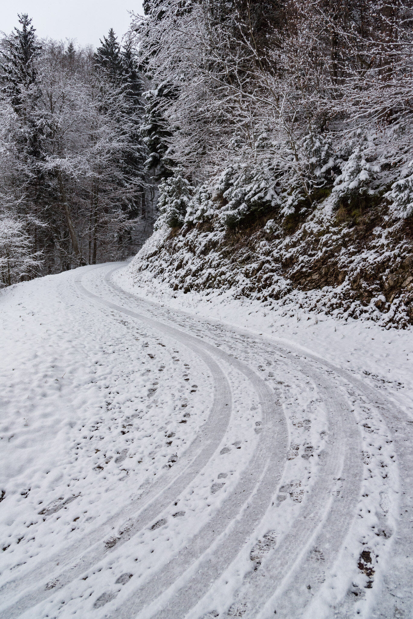
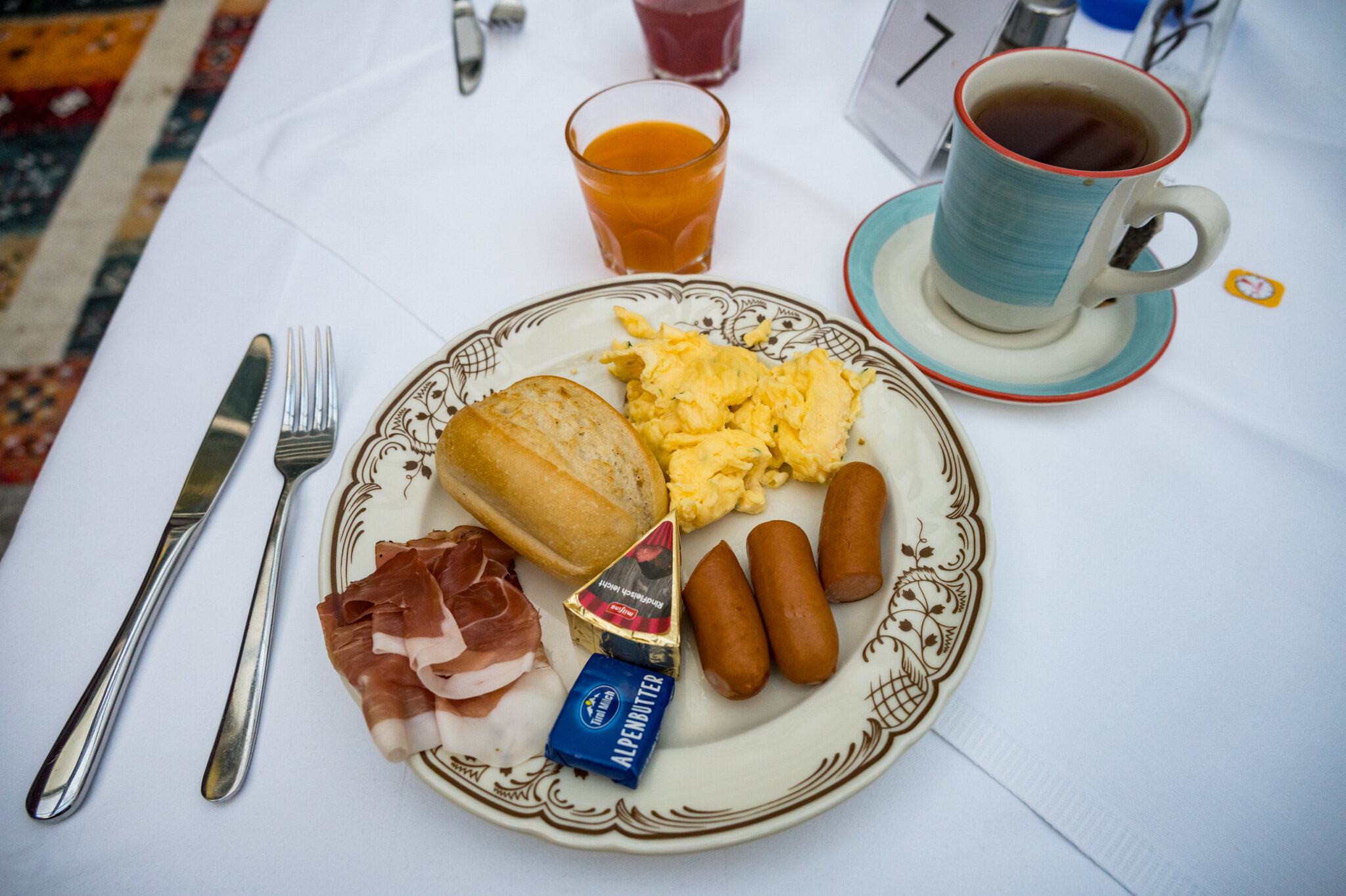
The next morning we woke up early. We had a daunting 116 km to travel on our third day of riding, but luckily it was mostly downhill. Unfortunately, the weather was against us. We started by bundling up for a quick sprint down the hill to the nearest town with a bakery where we ate premade sandwiches and drank hot coffee and tea. As we sat there the rain started and we looked out the window nervously. Beginning a 116 km ride with rain was a recipe for wet feet the whole day. We put on every layer of clothing we had and made our way into the cold, wet mountain air. It was only a light dusting for now, so it wasn’t horrible. Before long, though, it became a downpour.

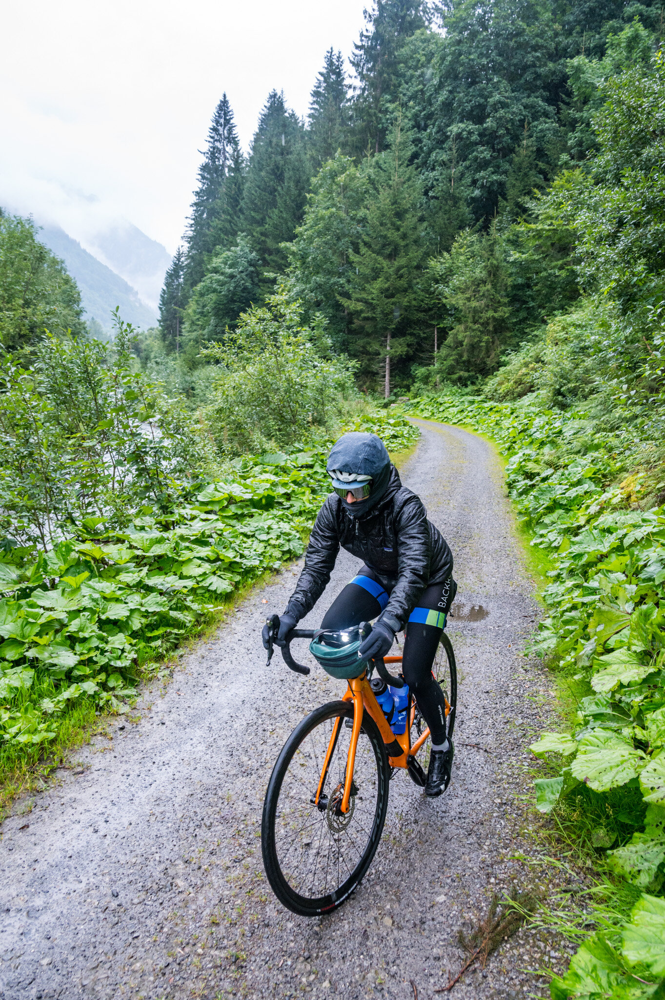
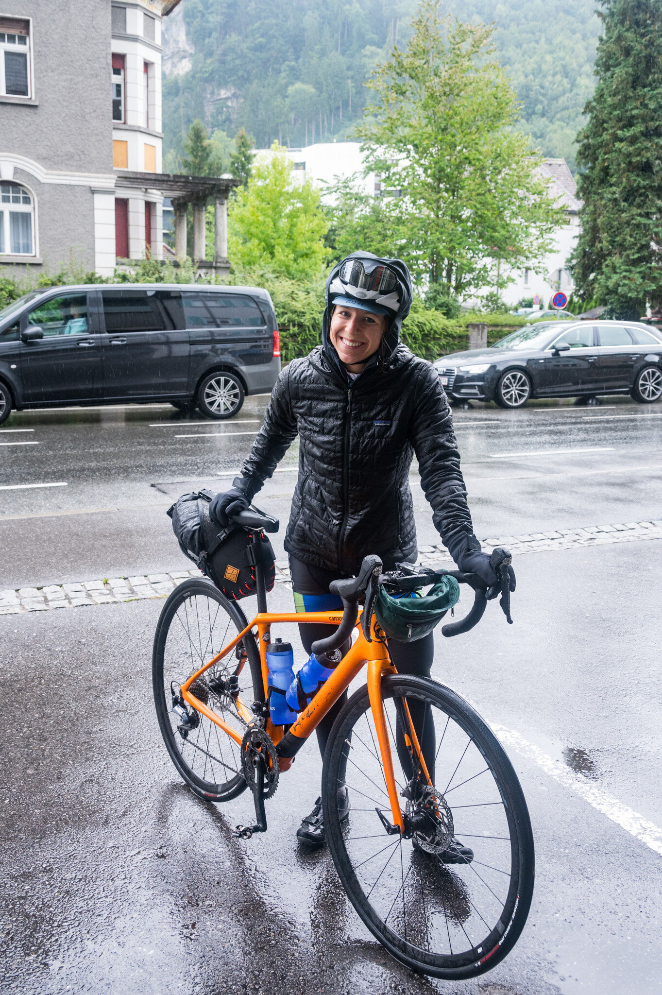
We wound our way down wet gravel paths with water soaking us from above and below. The downhill path was a blessing and a curse. We hardly had to pedal to keep up a good clip, but no peddling meant we weren’t warming ourselves up from the inside. My whole body was wracked with shivers so violent that I was worried I’d wrench the handlebars left or right and end up in the bushes. We got soaked through. And we laughed about it, mostly. Susie very smartly suggested stopping in the next town for another hot drink but I was worried that if we stopped we wouldn’t have the fortitude to get back on the bikes. So we pressed on.

Before we knew it we had pedaled the first 50 km to Feldkirch and we decided it was high time to make a stop for warmth and sustenance. The rain picked up again while we sat inside, still soaking wet from the morning’s wind-chilled descent. We waited for the rain to subside a bit and then ventured back out.

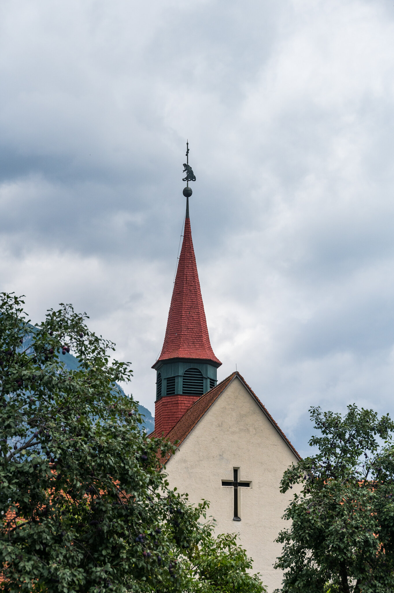
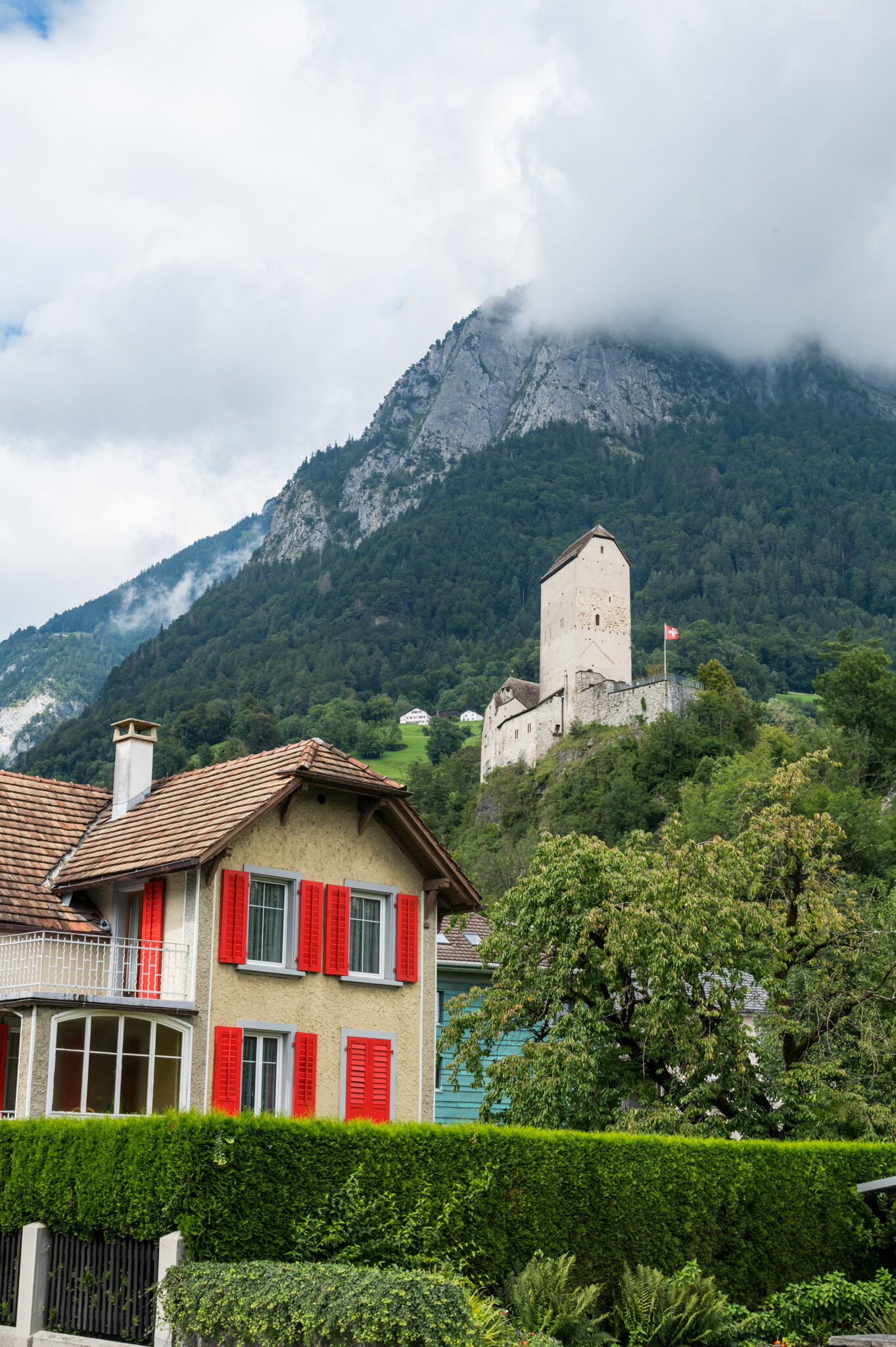
Not long after, Susie—thinking out loud—asked if we might already be in Liechtenstein. I hadn’t even thought about it, because Susie was in charge of mapping. While riding through a residential neighborhood we looked around and saw signs telling us we were in fact already in Liechtenstein: “FL” license plates, LIEmobil bus stop signs, and slightly different infrastructure accents (aka the cobble stones and curbs looked different).

WB6_2905.jpg

We laughed that we’d almost missed it and talked about how small of a country it is for five minutes and before we knew it we were leaving already. We passed over the Rhine river on a wooden pedestrian bridge and stopped halfway to take pictures at the “border” before continuing on into Switzerland.

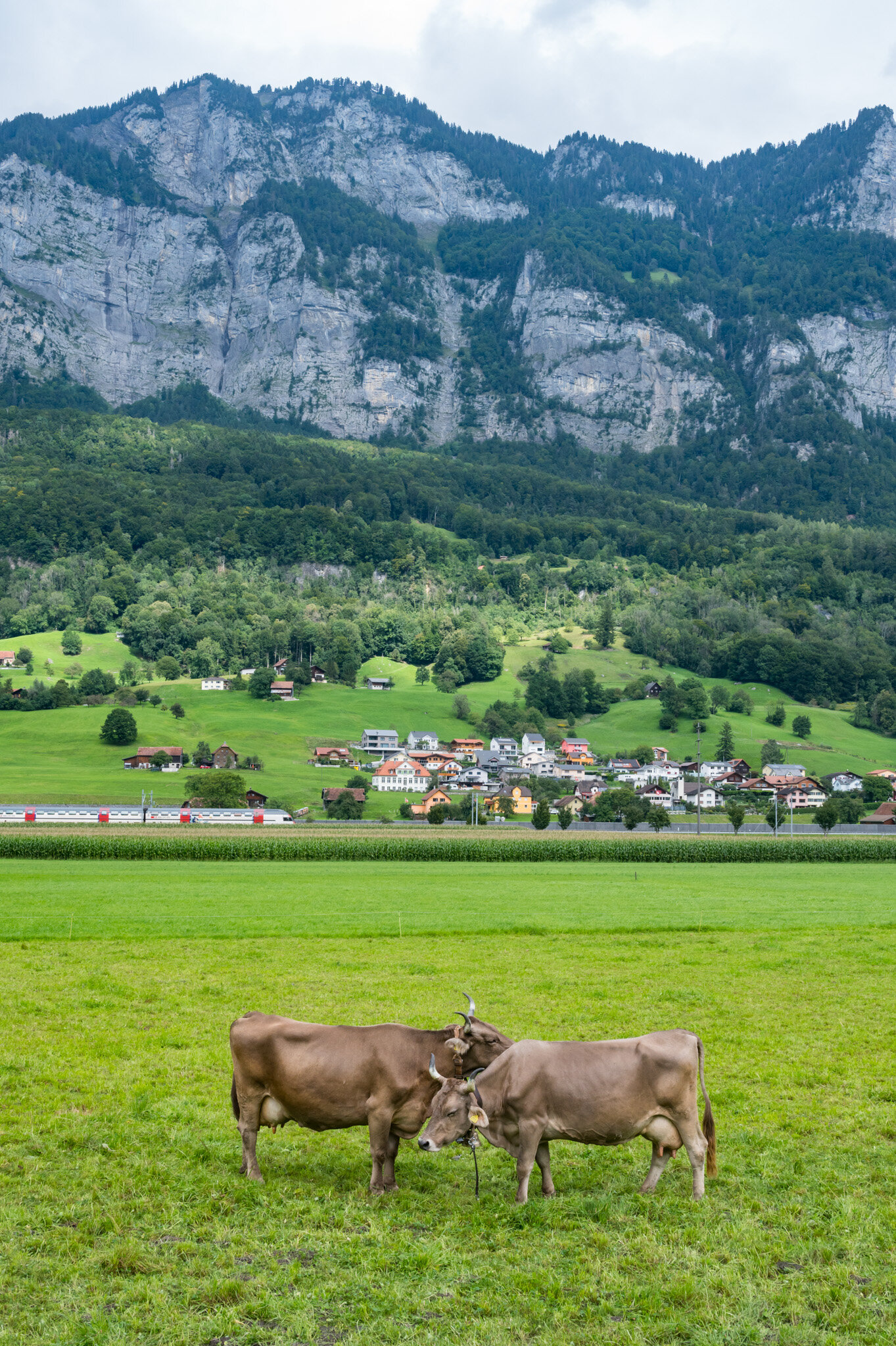
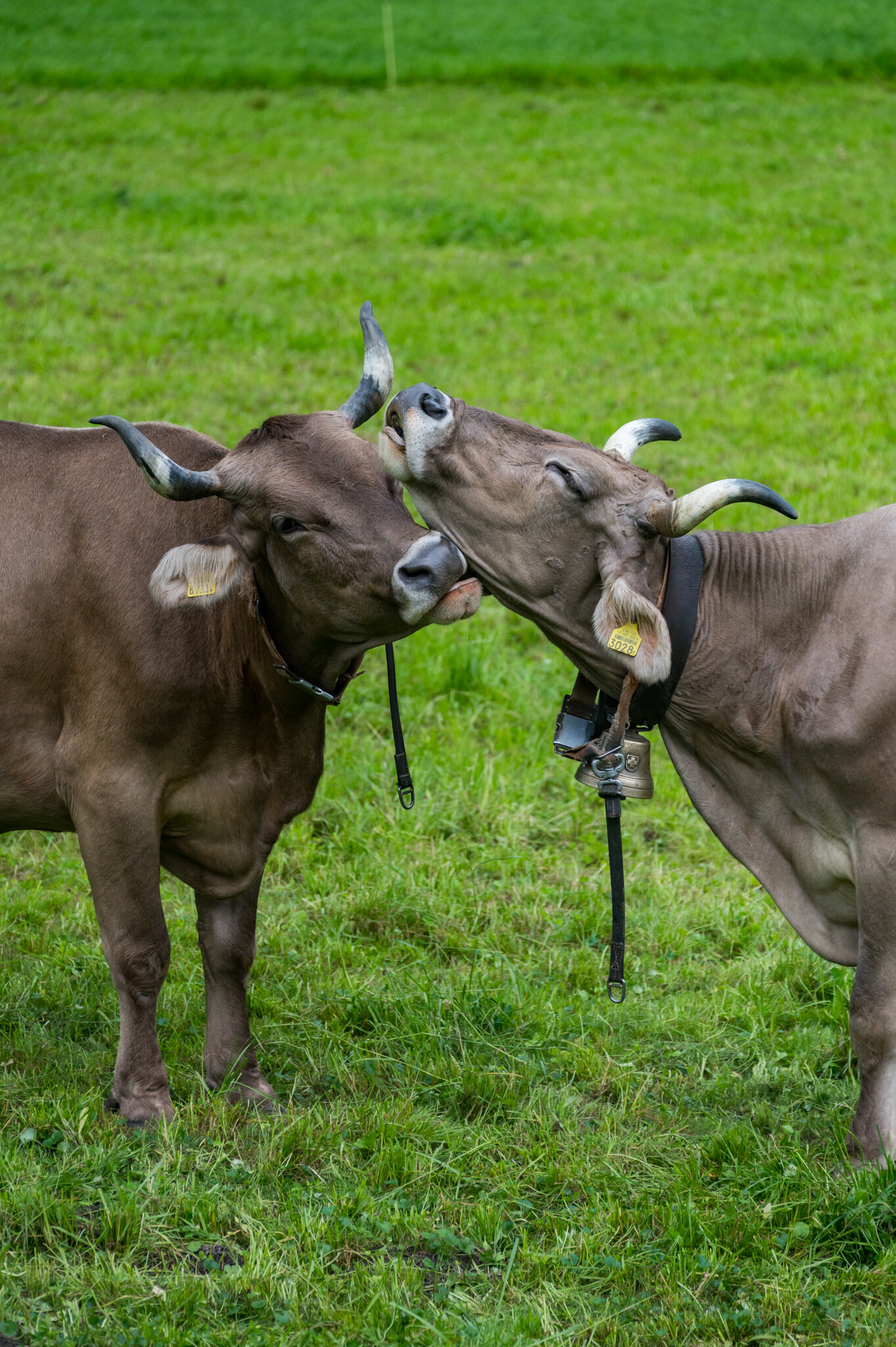
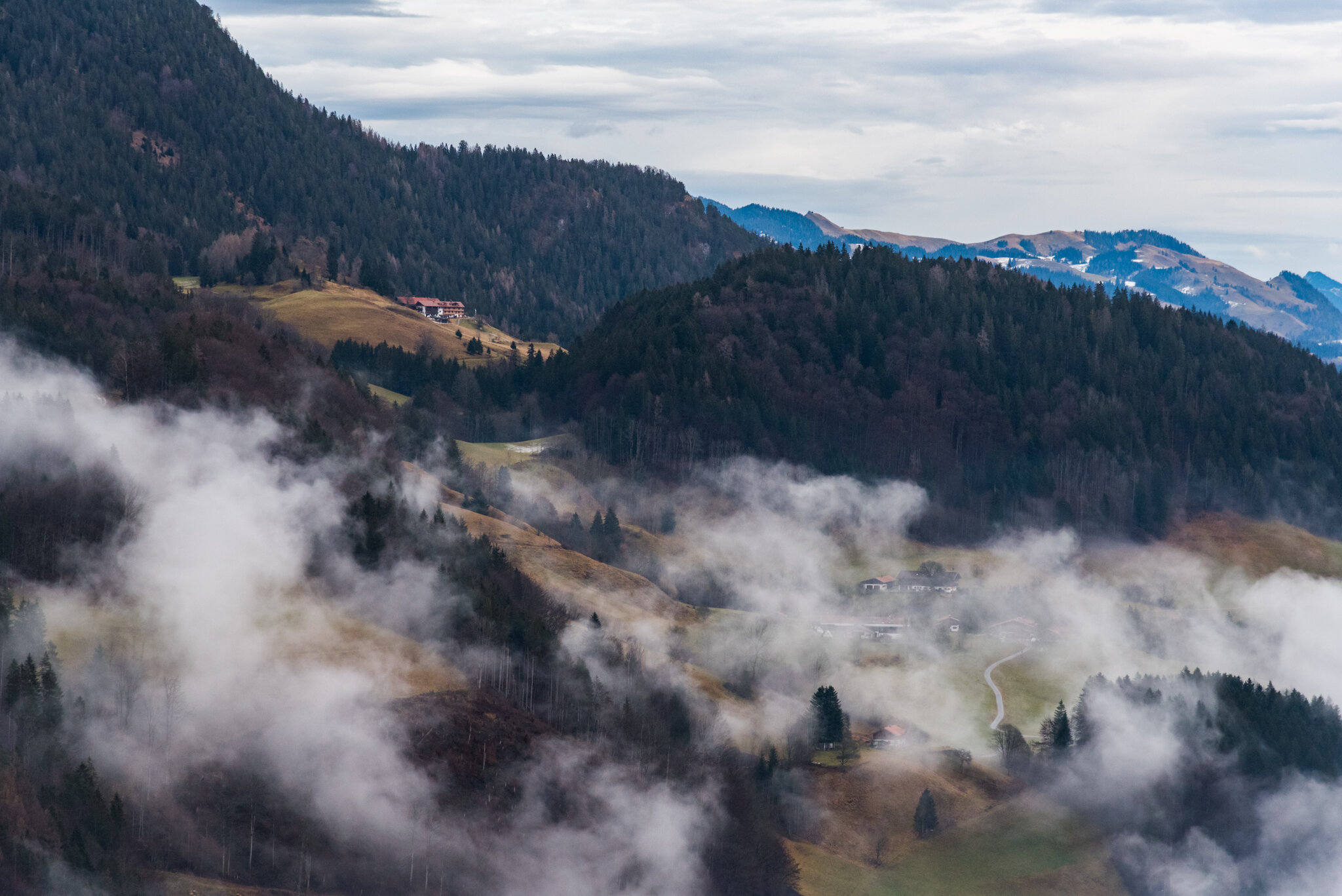
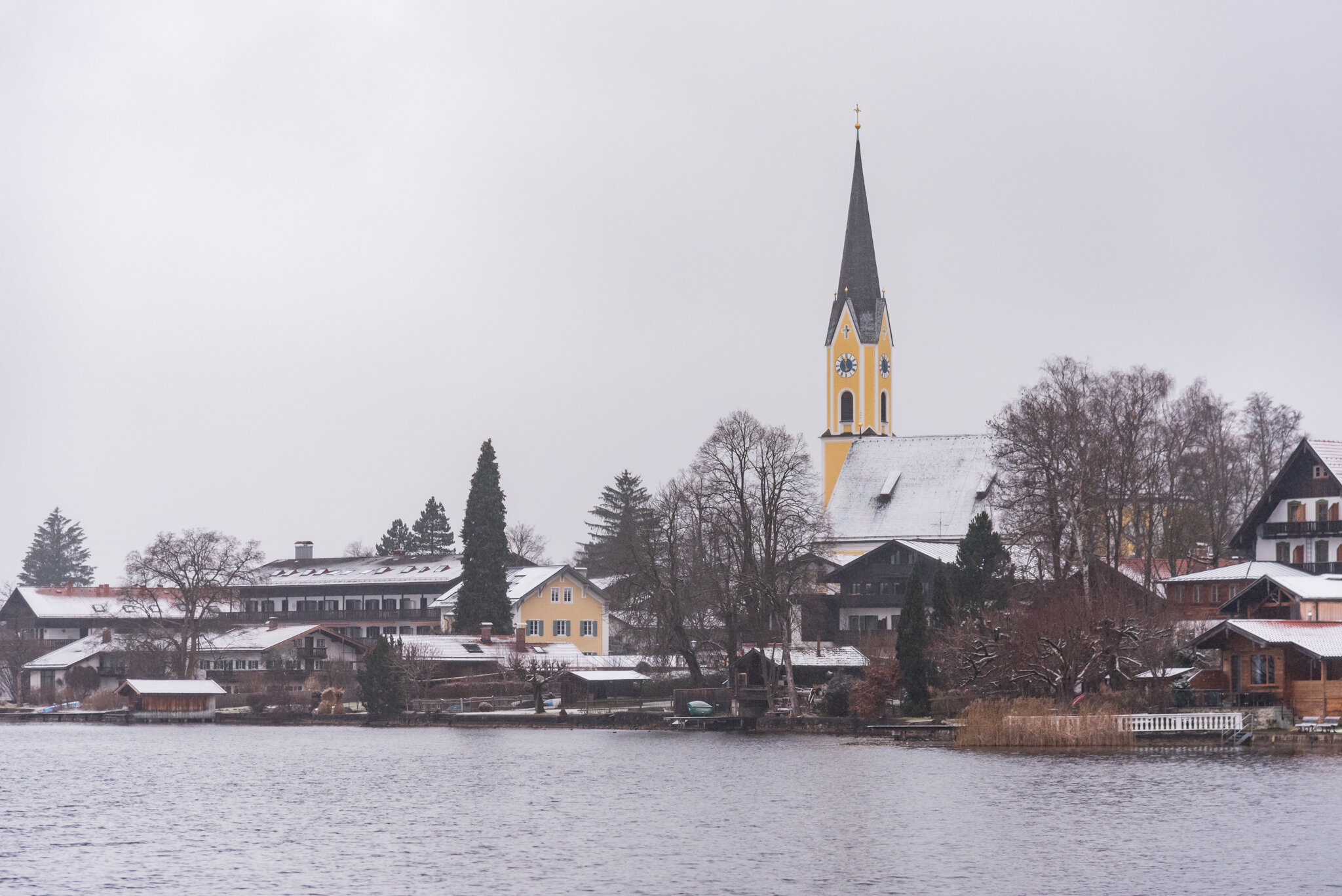
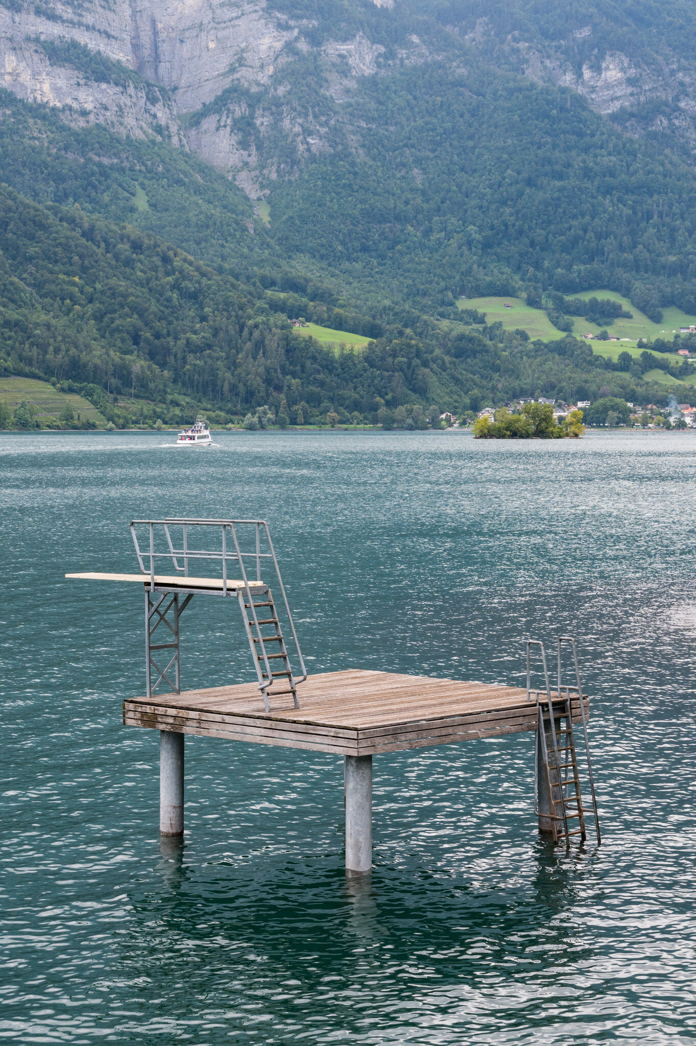
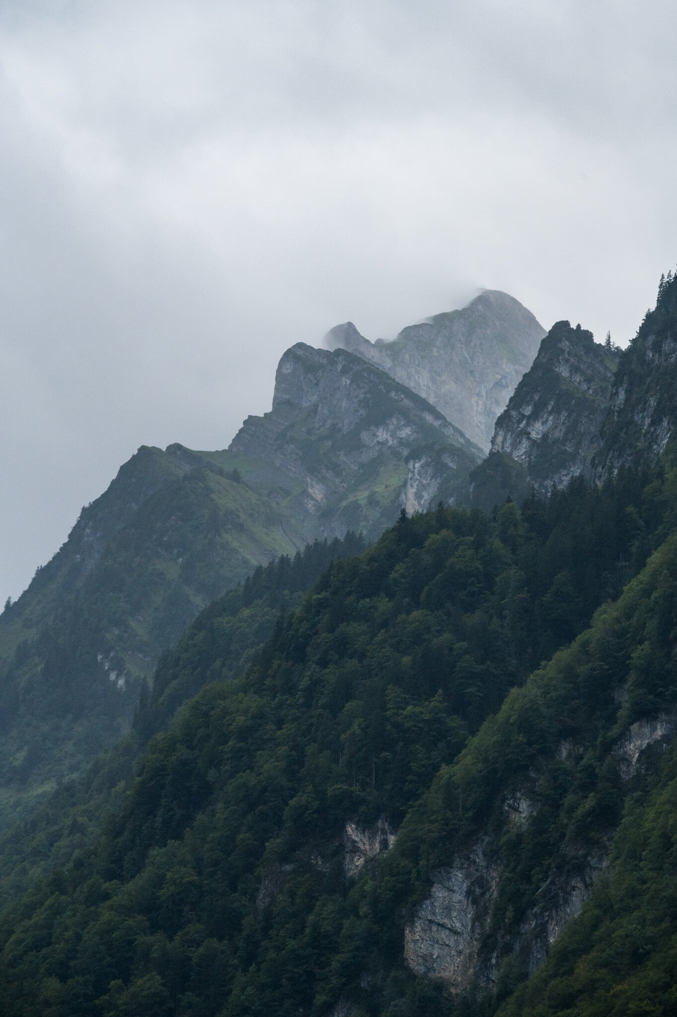
We were just over halfway to our destination and feeling strong when the rain and wind picked up again. It didn’t dampen our spirits but it definitely slowed us down. We wound our way around Walensee with whitecaps dotting the lake surface and the shore on the other side obscured by rain. It was definitely no picturesque Swiss getaway.

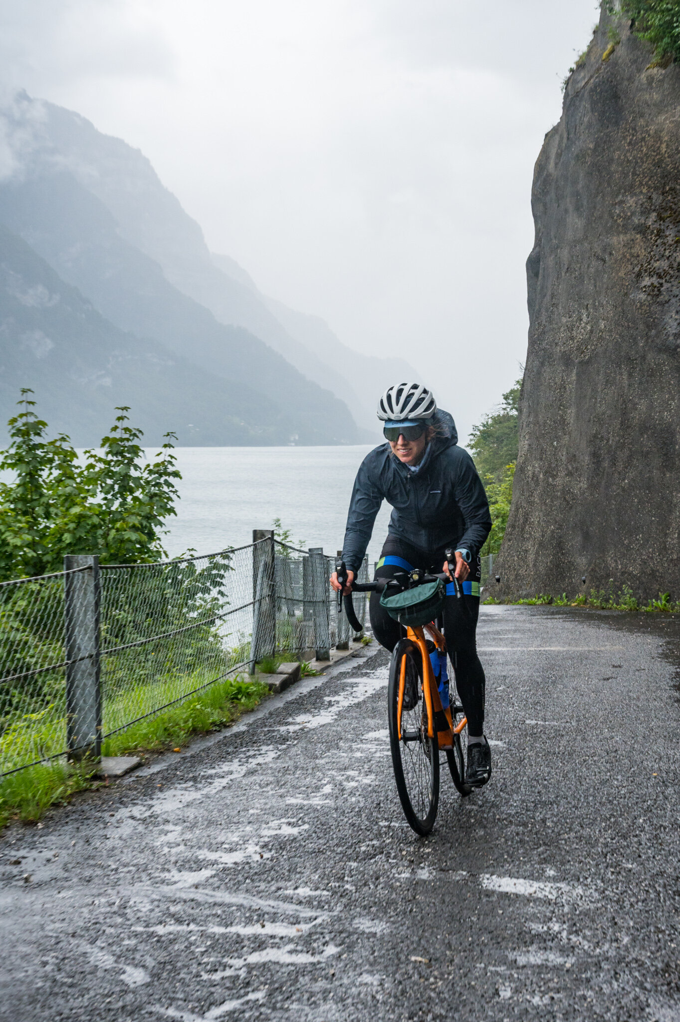
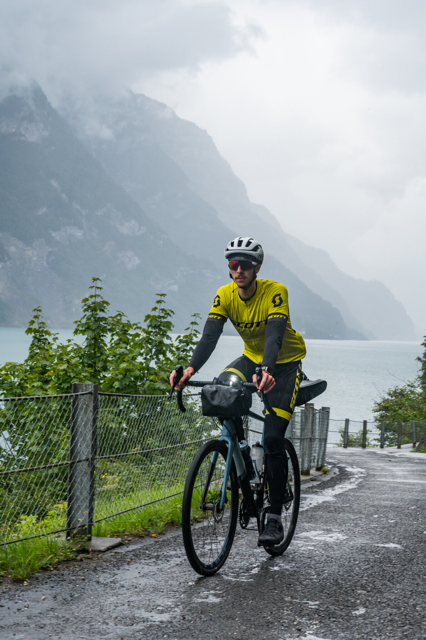
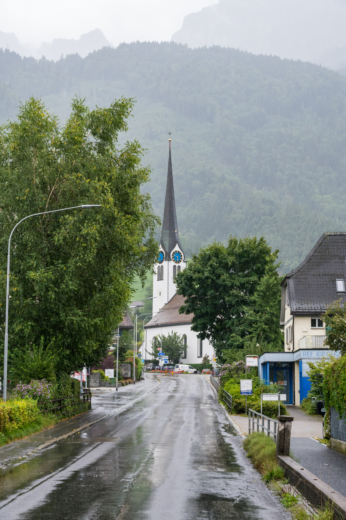
But we were making the most of it either way. The bike path which was rain-soaked but otherwise pristine snaked its way along the lake, up and down the cliffs until it spat us out in a new valley with an even heavier downpour. We’d been talkative and chatty all day but by this point we wanted to get there so little was said between us. We put our heads down and rode in the pouring rain along a gravel path that followed a canal up river towards Mollis.

WB6_3026.jpg

When we finally made it to our Airbnb we removed our shoes and socks at the door to avoid making puddles on the floor and headed straight for the bathroom to wash up. We donned the same wet jackets we’d been wearing all day and set out for food, but there were few options. The only grocery store in town closed at 4 pm that Saturday, an hour and a half before we arrived. So we walked 20 minutes in the unceasing rain across the river to the slightly bigger town next door and walked into the only open restaurant, a burger joint.

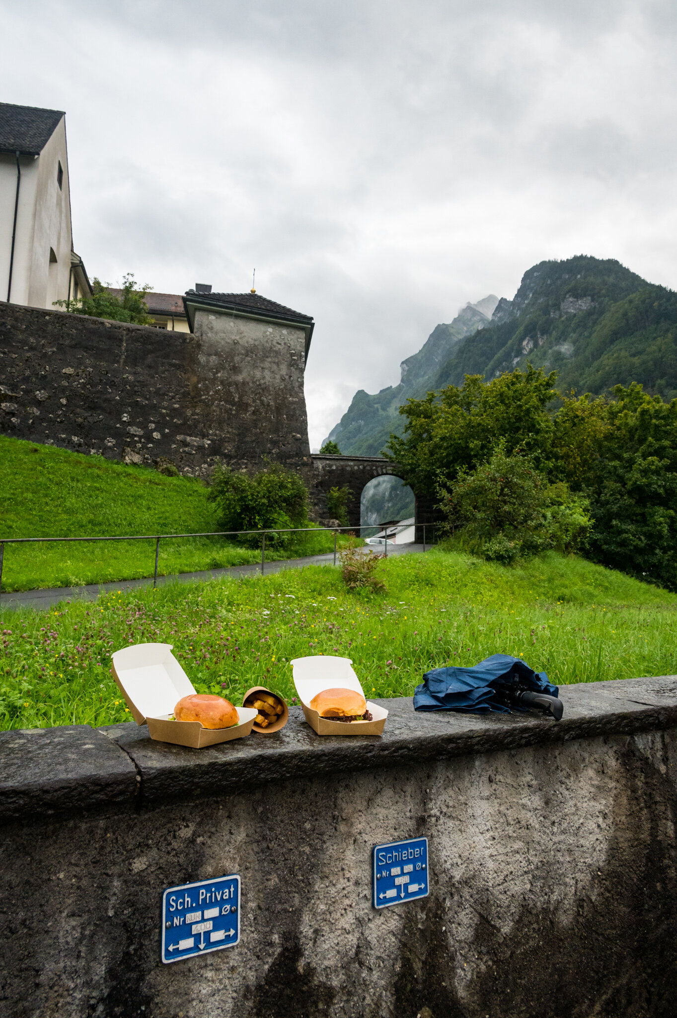
In unintelligible Swiss-German, the waitress told us that they were full and we could only order to go. We sighed and looked forlornly outside at the sky. She didn’t budge, they were fully booked until closing. We ordered anyway, hoping that we might find a nice, covered, place to eat outside once our food was ready. Twenty minutes later the rain had lessened to merely a heavy mist, so we plopped our paper bag on the rock wall across the street and devoured our burgers and fries before heading home for sleep.

Day 4

The final day of our tour started early. Our train from Zürich back home to Susie’s apartment in Kiefersfelden would leave at 12:43 with or without us. We woke up at 6 and got on the road by 6:45 in order to give ourselves plenty of time to make the 70 km trip at a leisurely pace. I even insisted on building in extra time for emergencies.

6:15 a.m. Rain passing through the light made by a streetlamp outside our bedroom window.

6:15 a.m. Rain passing through the light made by a streetlamp outside our bedroom window.

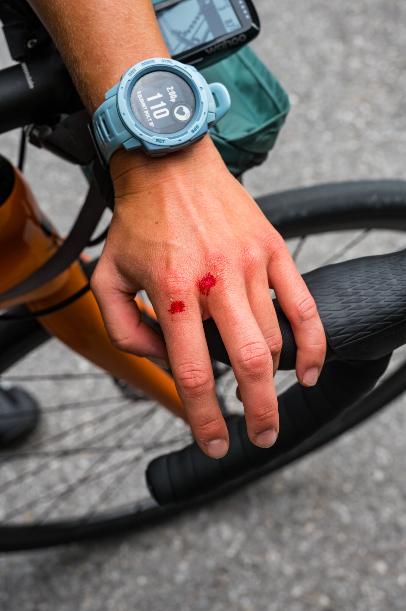
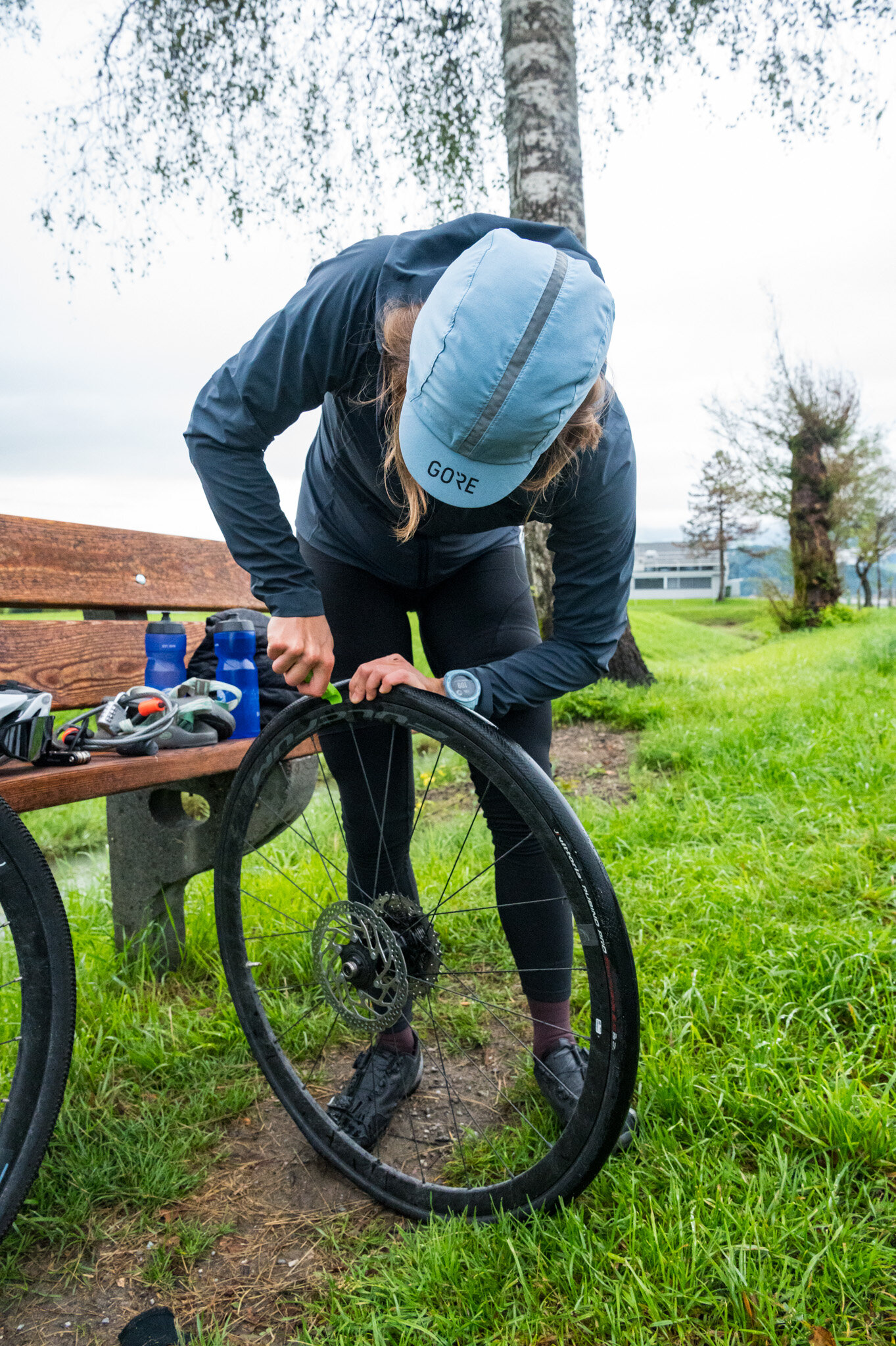
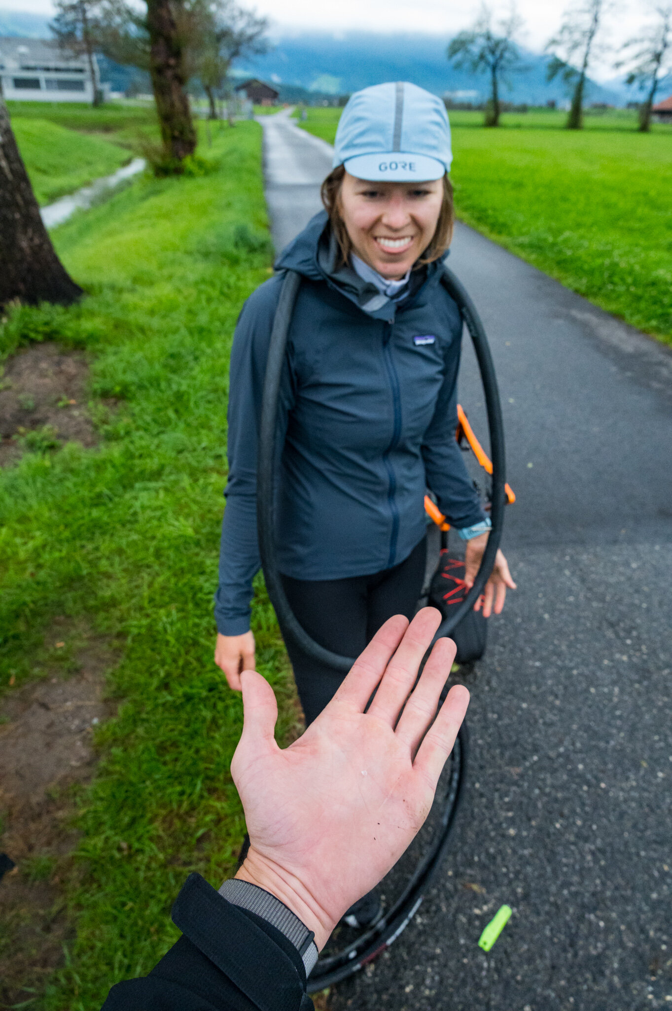
And it’s a damn good thing I did. 45 minutes after leaving Mollis, Susie fell back behind me and looked down. Something was wrong with her bike. She had a flat tire. We groaned but quickly realized it could be a lot worse. It wasn’t raining, we had all the gear we needed to fix this kind of problem, and we had built in plenty of extra time for exactly this scenario. After a quick repair we were back on the road. No problem.

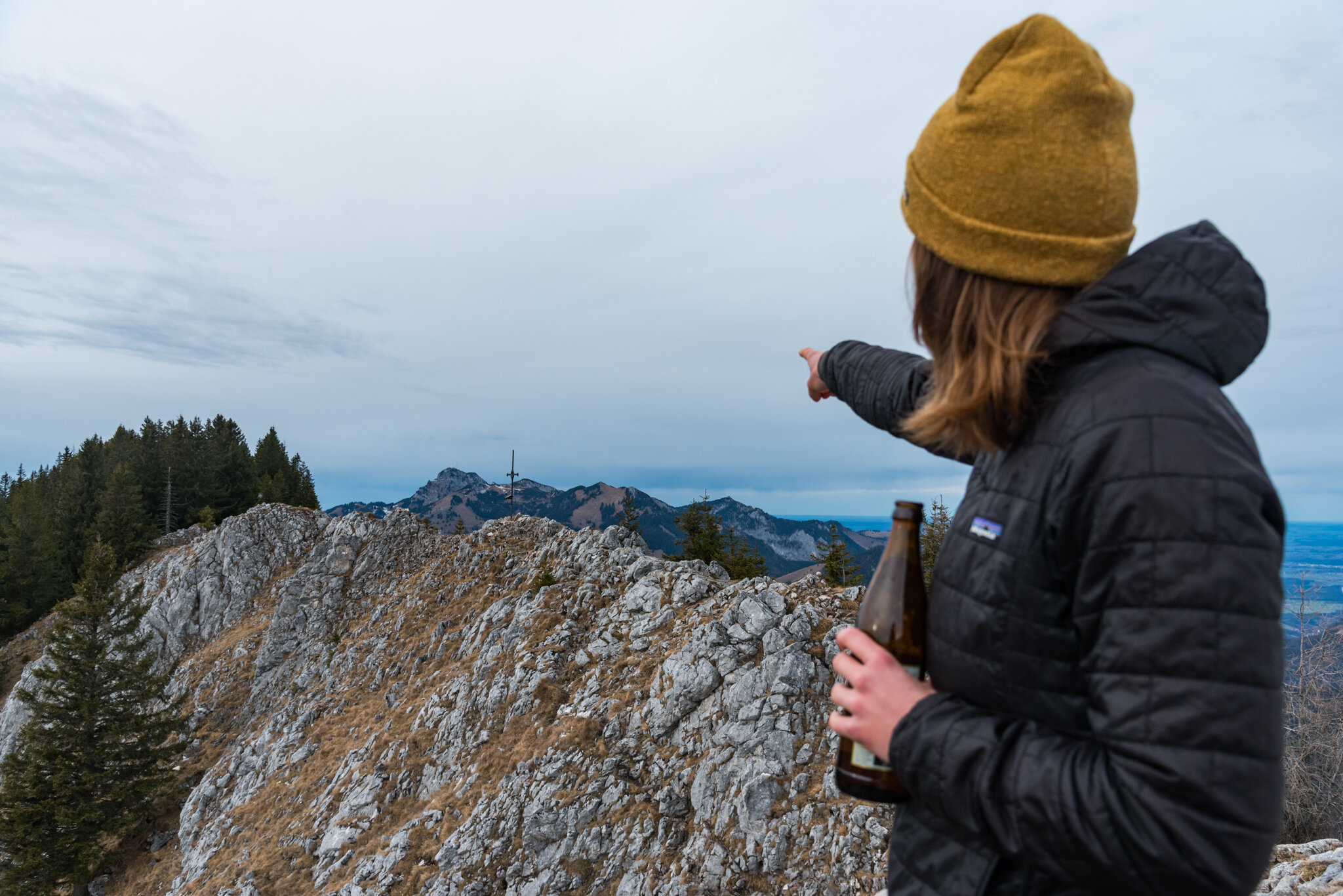
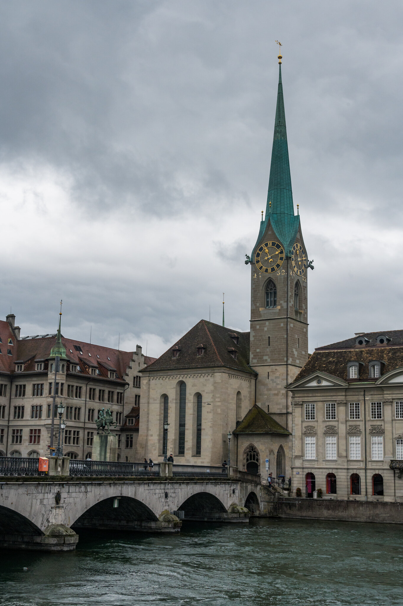
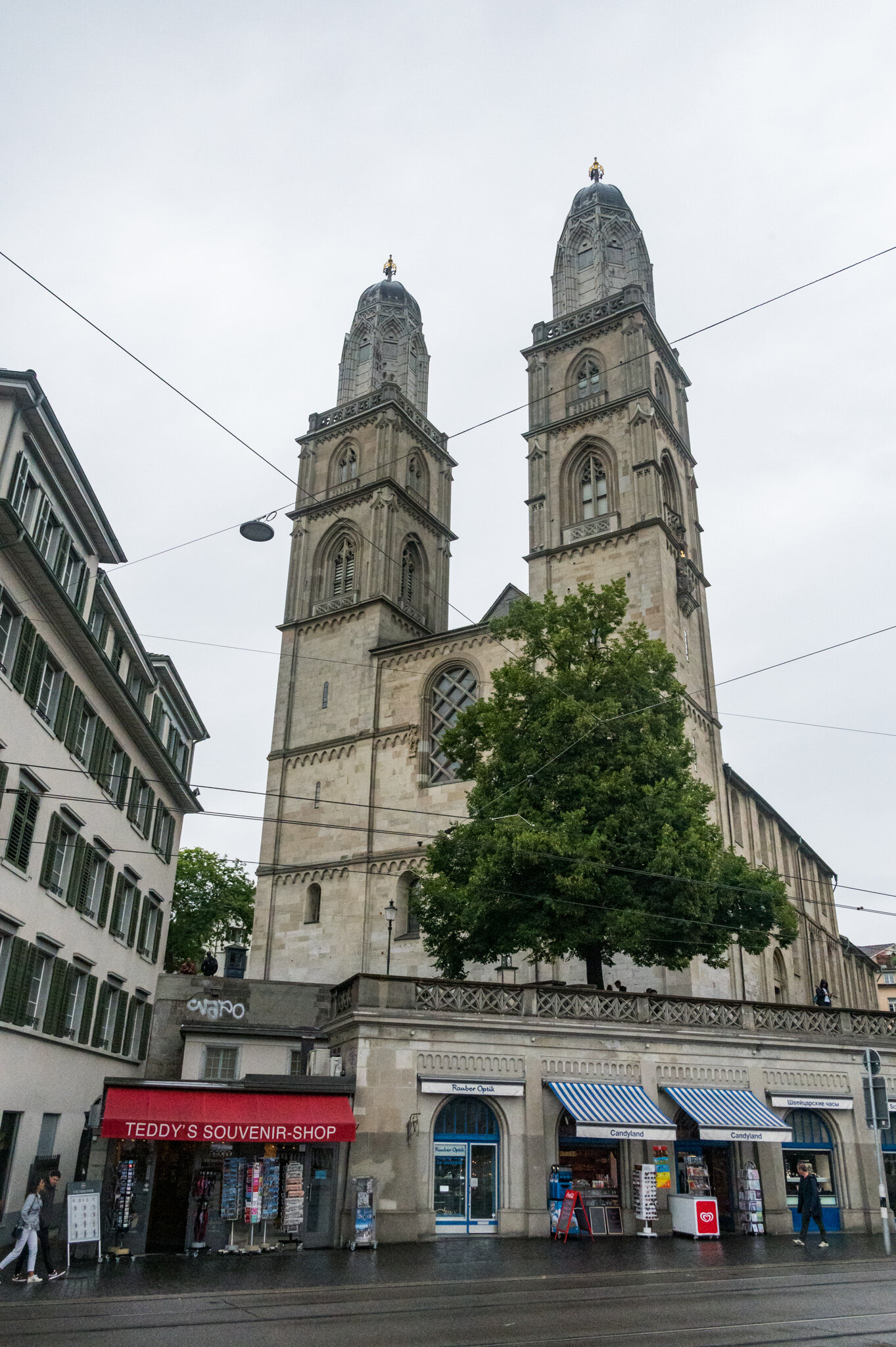
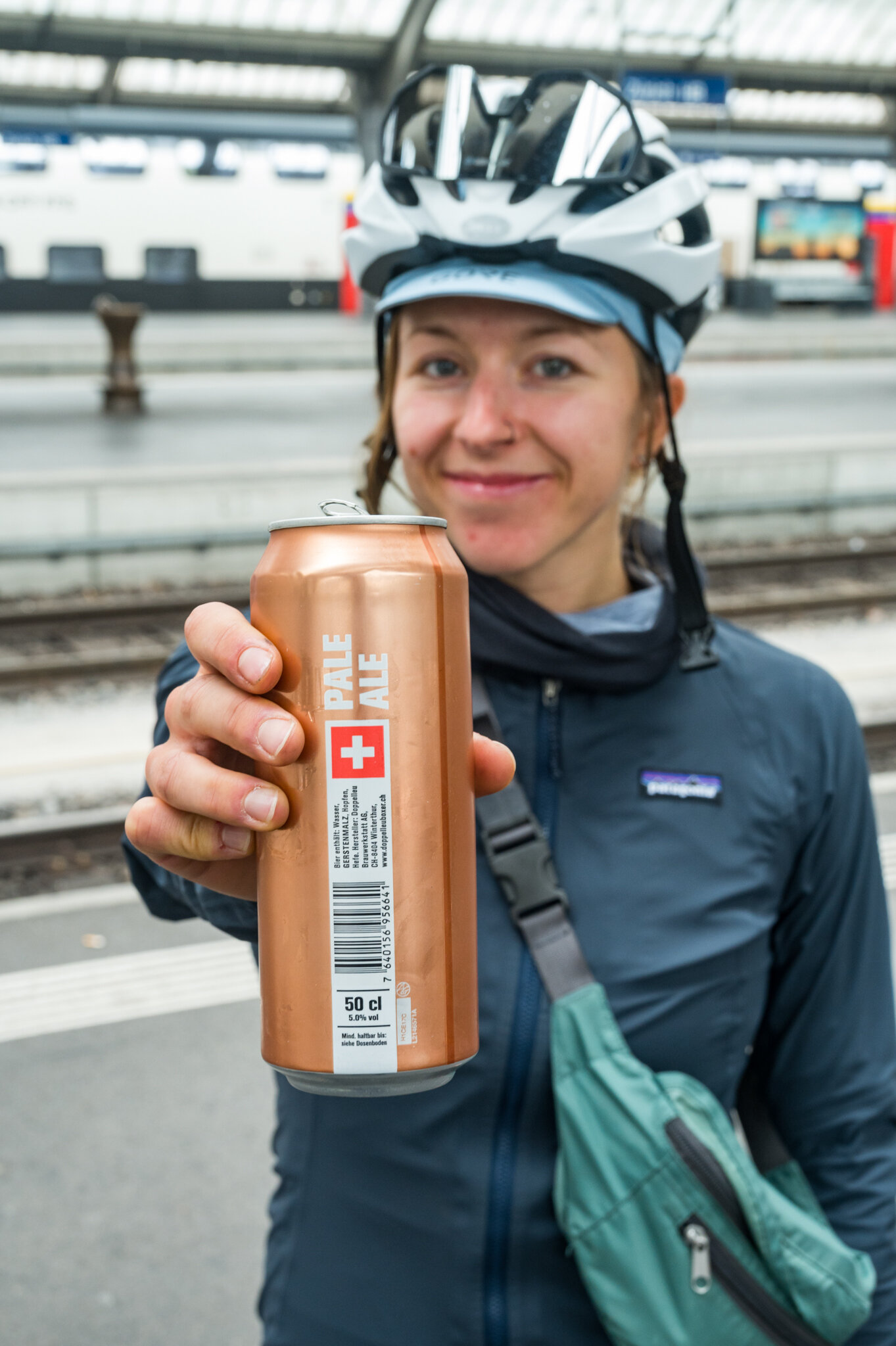
The rain stayed at bay for another few hours as we made our way across the valley and towards Obersee and Zürichsee. We stopped at a BP gas station for a late breakfast and continued on, crossing the lake before riding through the never ending neighborhoods around the lake. We arrived in Zürich with plenty of time to spare. In no rush, we picked up our tickets, grabbed some food and celebratory beer, and headed to our platform.

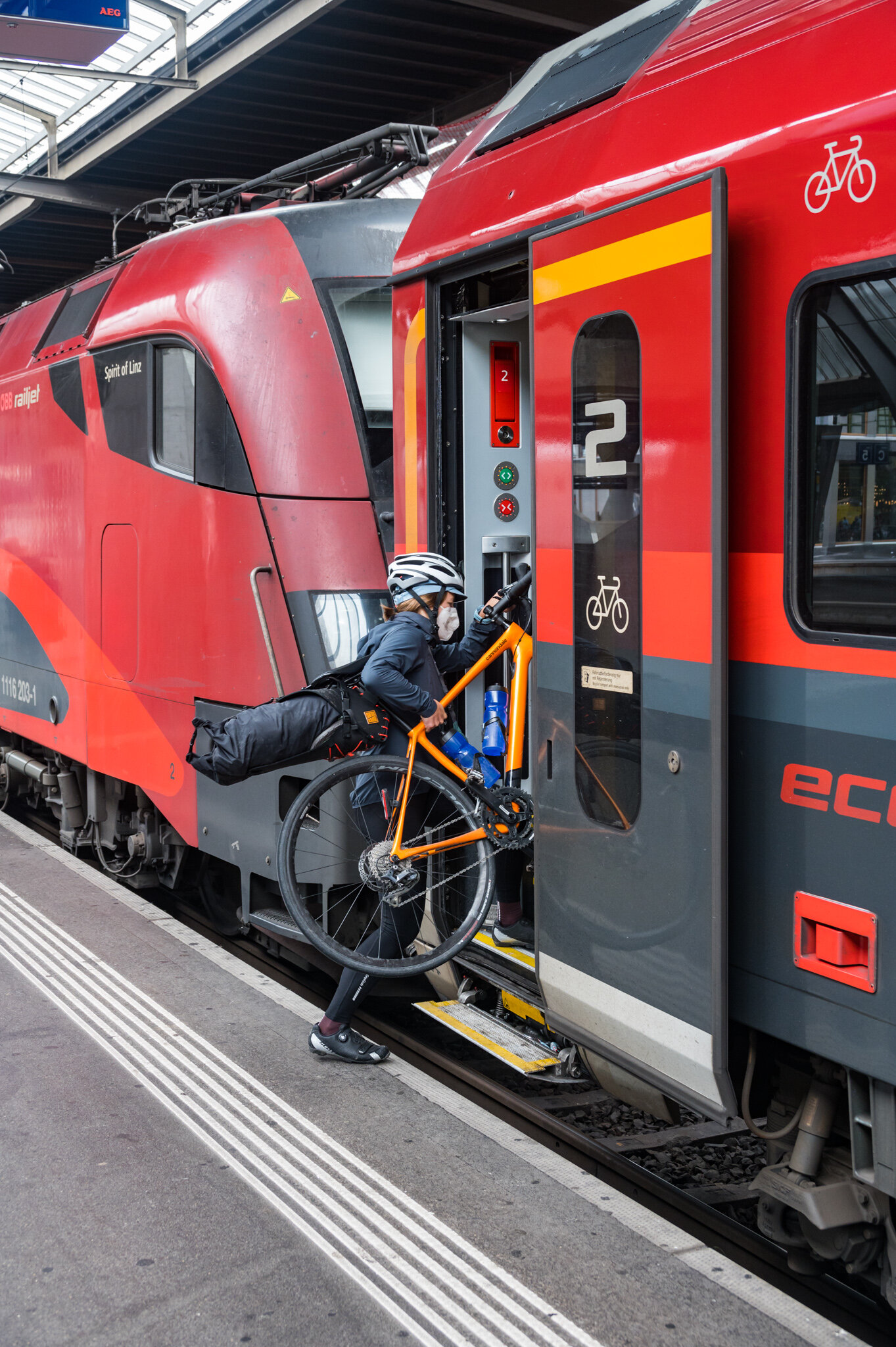
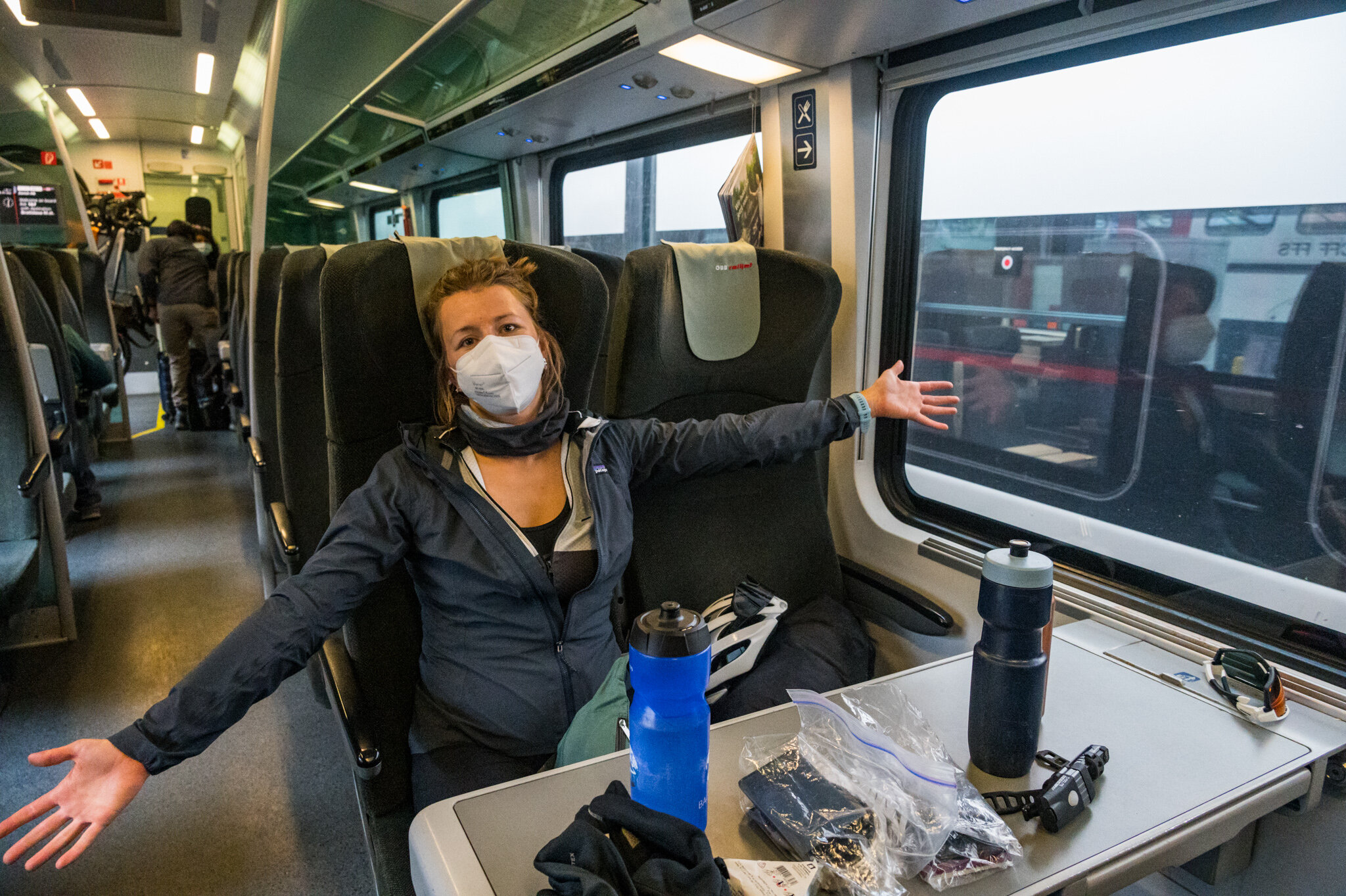
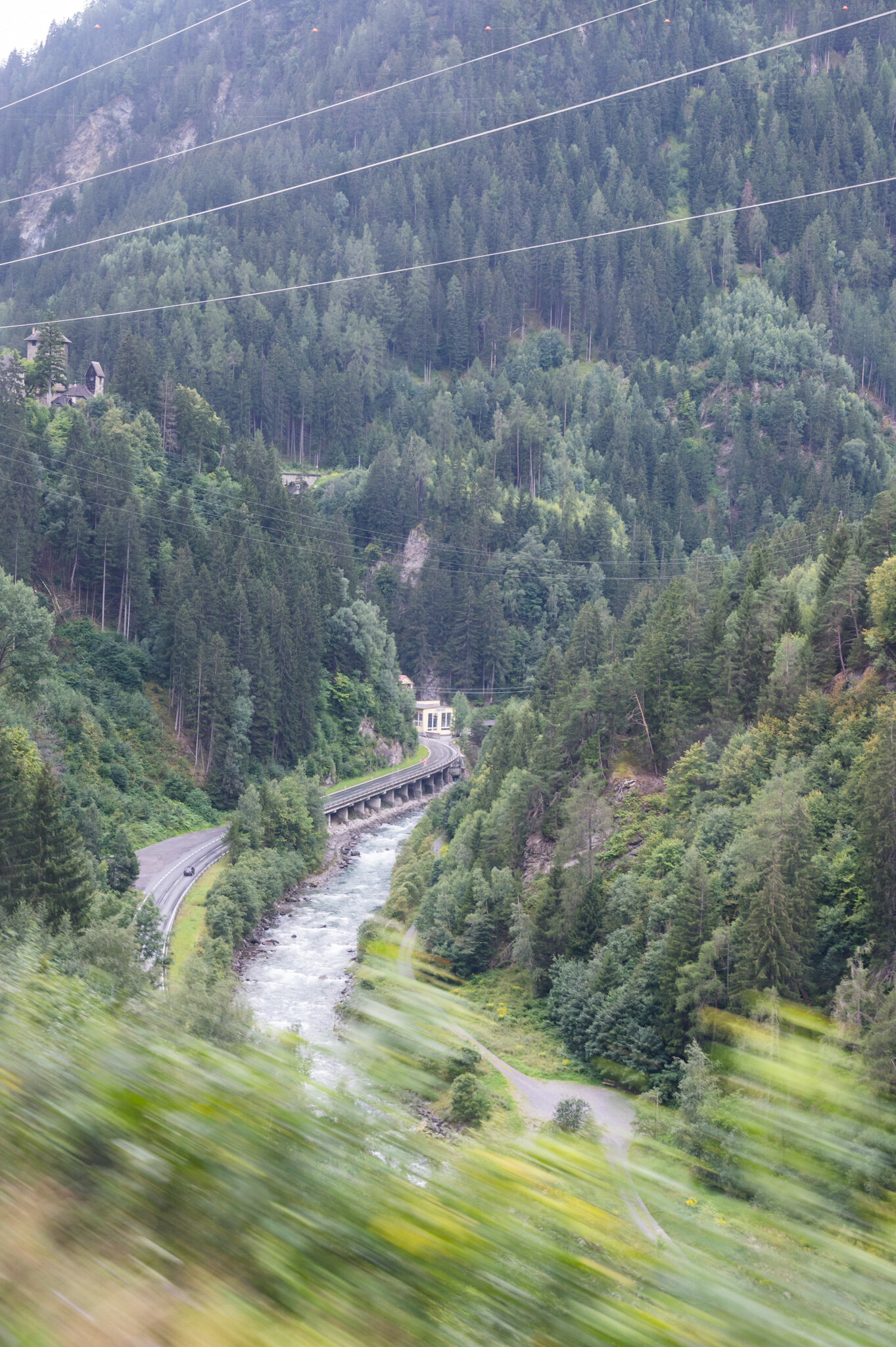
The train ride followed our bike route almost exactly, in reverse. In four hours we wound around the lakes and mountains that had taken us four days to conquer on our bikes. But we didn’t mind that it was so easy by comparison. It gave me a chance to see all of the sights without sweat running down my face or rain dripping from my knees. And it gave us greater appreciation for what we’d just accomplished.

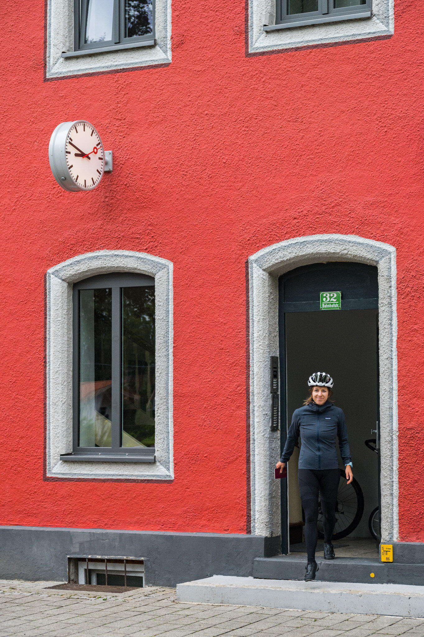
We rode 400 kilometers and 3,260 meters of elevation on our bikes over four days. When we made it back home I slapped the side of Susie’s building in victory and let out a sigh of relief.

Kiefersfelden, Germany 2020 by William Bryan

The holidays were a little bit different this year. With travel restricted and lockdowns blanketing Europe my sister and I found ourselves an ocean away from our parents but only a 7-hour drive from each other. Rather than travel by plane, train, and automobile to California I rented a car, pointed it south, and bobbed my head to energetic music for 700 kilometers. Cruise control did the heavy lifting and before I knew it I was in Kiefersfelden, a tiny border town, and my sister’s new home. We hung out with our parents via video chat for the three nights of Christmas and spent as much time outside during daylight as possible.

Restrictions were tight but I was determined to be as active in the mountains as possible, and hiking was allowed. Everything past the Austrian border was off-limits but that still left plenty to explore. To kick things off I put my finger on the map and picked a peak to summit by myself while my sister was working. I hopped in the car on the cold morning after I arrived and navigated Kiefersfelden’s narrow Bavarian streets on my way to the mountains. I wound my way up into the hills, gingerly weaving around churches and wood-clad alpine homes. As I drove I kept an eye on the thermometer in the car’s display. It was hovering around 2º celsius as I made my way through town but as I gained elevation it dropped to -1º.  To be safe I took turns at 10 km/h. I was investigating every patch of road along the way, wondering if it was icy but I couldn’t see any.

The backdrop to my slip and slide.

The backdrop to my slip and slide.

And that’s why it’s called black ice. I didn’t even have time to panic and try to fix my mistake. The moment my tires hit the patch of slick icy asphalt it was already too late. I slid sideways in slow motion, staring at the stone wall on the side of the road. I was resigned to my fate. My brand new rental car and the quickly approaching rock were about to become very intimate.

But then I jolted to a halt. I looked to my right across the empty passenger seat and inspected the rock wall, wondering why it was so far away. I climbed out of the car and noticed that there was a patch of gravel half a meter wide separating the pavement from the rock wall, which had stopped my slide. I let out a sigh of relief.

After a few minutes to steady my nerves, I started the car up and cautiously pulled back onto the road, driving even slower than before. As I neared the trailhead I came upon a field of ice blocking my way. Centimeters thick and blanketing the road as far as I could see up the hill into the distance, I realized I had no chance of making it to the top to my destination. I was discouraged by the weather but not willing to give up so I returned to the main road and drove until I found a parking lot packed with cars and vans.

WEB_0966.jpg

Trusting the locals, I pulled over, suited up, and walked until I found a trail marker. It wouldn’t be the same as my planned hike, but after months in Berlin with not a mountain in sight, any peak would make me happy.

Hiking 4.5 kilometers through the mud, snow, and ice I gained 610 meters of elevation before reaching the peak, Wildalpjoch. The flat plains of Bavaria spread out to the north, the Wendelstein weather station capped the peak to the west, and the jagged peaks of Austria jutted up to the south and east. After a quick snack and two dozen photos, the cold alpine wind was too much to bear. I took one last look at the vast snow-capped mountains in the distance and headed back down to the car.

Two days later my sister and I set our sights on Brünnstein, a peak in the last row of mountains before the Austrian border. The trek started off easy enough. We wandered through empty muddy fields dotted with alms. During normal times these huts would be crowded with hikers looking for a warm place to rest their feet and a hot meal before continuing on. But these weren’t normal times. We passed hardly a soul on the hike and the alms were deserted, locked down to curb the spread of the virus.

Just before the peak as the tree’s thinned our path became rocky, steep, and dotted with alpinist’s cables. We clambered up the nearly vertical slopes, using our arms to pull ourselves along the path. At the top, we were greeted by a warning sign, a tiny shrine, and a view spanning dozens of snowy peaks. We celebrated with a local summit beer and then continued back down the mountain along our 16km route.

That night and into the next day Bavaria was dusted with snow. From the valleys to the peaks everything was white. Neither my sister nor I had the right gear (read: boots) but we were both determined to get outside so we donned our warmest socks and porous running shoes and ventured into the cold, wet mountains once again. We drove two towns up the road and parked the car at the Wendelstein train station.

We didn’t have a goal in mind but started to walk in the direction of Wendelstein, not sure if conditions would let us get close to the summit. Before too long we were making our way through ankle-deep snowdrifts. More than one local looked at our footwear and grimaced. How un-German to be unprepared for a snow hike.

We had thought our 10:30 am start had been plenty early but at 1 pm it became clear that if we went for the Wendelstein peak we wouldn’t make it back to the car before dark. After a short debate on the risks we unceremoniously turned around and made our way back down the mountain, trekking 18 kilometers in all.

After seven days in the mountains and more than 75 kilometers of walking, hiking, and trudging through the snow I was sad to return north to Berlin. But I was also endlessly grateful that my sister’s new home provided the perfect mountain getaway. Despite the wholly non-traditional virtual Christmas celebration it still turned into a genuinely good holiday in the middle of the pandemic.

Dorrington, California 2019 by William Bryan

WEB_1657-Pano.jpg

A week before graduation in 2018 a group of college friends and I sat on a rooftop in Boston looking out at the skyline in the distance. We were trying—and failing—to avoid talking about how little we’d be seeing each other just ten days from then. As everyone continued their bittersweet banter I realized that if we don’t plan something now, while we were still around one another every day, we likely would never be together as a big group ever again.

That very same day I talked to Katie (our resident planner) about the idea of planning a reunion for the following year. She was 100% on board and suggested the 4th of July; I volunteered my family’s cabin in the Sierra’s.

We went to the group with the idea the next day and everyone was soundly on board, at least at the moment. I’m not sure anyone was really very confident that the event would actually materialize.

Fast forward 14 months and after arduous planning and hounding friends for their flight info (@Orph) the time had actually arrived for us all to jet off to California. I arrived five days before the 4th and grabbed some groceries to bolster Katie’s awesome Fraction Foods menu and loaded up my dad’s truck for the drive into the mountains.

Surprisingly, with 23 people converging on a tiny mountain town 4 hours from San Francisco from all over the United States on a hectic holiday weekend we encountered zero travel issues. No cancelled flights, delays, flat tires, speeding tickets, or upset stomachs. Just happy friends seeing each other for the first time in 14 months (in some cases).

The only map we had…

The only map we had…

For the next 4 days we tried our hardest to relive our college days while simultaneously enjoying the best that the Sierra Nevada mountains have to offer.

On the second full day I had planned a hike to a high alpine lake called Bull Run. I’d hiked to it before—on a two night backpacking trip with my family when I was 12 or 13 years old. My only memory of the hike was that my Mom had said it was 7.5 miles round trip, and the hike in had felt much longer than 3.25 miles. Disregarding this little tidbit I decided it was the perfect hike for a massive group of hungover friends on 4th of July weekend.

When our caravan of four cars pulled into the graded meadow that served as the trailhead there were patches of snow scattered around behind the trail marker and in front of our cars. I clambered over a patch to take a photo of the rudimentary map on the trailhead sign and set off down the trail with 21 naive friends in tow. It took us no more than 10 minutes to get lost. As Goose and I consulted the map on my phone the others tried their best to catch up without falling on the snow.

“Guys just hang out here and don’t go anywhere, we lost the trail,” I said.

“So if this is the Stanislaus Meadow in front of us we need to stay to the right of it and in theory we’ll find the trail, right?” Goose asked.

“Sure,” I replied. Exactly as unsure as I sounded.

After a few minutes following our plan we found the trail again, or as close to a trail as we could find. We trudged over pillows of crunchy snow in Teva’s, Van’s, and hiking boots, broadcasting our unpreparedness to the silent wilderness.

We continued this cycle of losing the trail and finding it again for a couple of hours before half of our number decided that trudging through snow in July wasn’t something they wanted to do any longer than necessary. After deliberating about splitting up our group in the middle of nowhere we decided that half would press on to the lake and half would go home for beer and barbeque.

After losing half our tribe we lumbered along, continuing to find and lose the trail until we were well into the granite fields of the High Sierra’s. Using stray cairn’s as our only guidance we wandered for two more hours.

Then we ran out of water.

And we got dizzy from altitude sickness and dehydration.

We never found the lake.

Dejected and defeated, we gingerly climbed down from the granite fields one tired feet, and forded streams to make our way back to the cars. We relied on our footprints in the snow as our guide back, trying not to follow our lost prints from the very same morning. When we finally made it to the cars we stayed largely silent until we’d made it to the Bear Valley General Store where we stuffed our faces with chips and chugged Gatorade and water.

Thankfully the other half of the group had dinner waiting for us when we got back. After enjoying more Fraction Foods, Sachin checked his phone’s health app.

13.7 miles.